Topics > Northumberland > Civil Parishes in Northumberland > East Bedlington Civil Parish > Bedlington (St. Cuthbert) Parish, Historical Account, 1848
Bedlington (St. Cuthbert) Parish, Historical Account, 1848
The old Parish of Bedlington (St. Cuthbert) was made up of what had previously been Bedlingtonshire. Bedlingtonshire was an exclave of County Durham until it was made part of Northumberland in 1844 by an Act of Plarliament - the Counties (Detached Parts) Act 1844, which also made Islandshire (incliding Holy Island), Norhamshire, and the Farne Islands - part of Northumberland.
BEDLINGTON (St. Cuthbert), a parish and division, in the union of Morpeth, N. division of the county of Northumberland, 5½ miles (S E. by S.) from Morpeth; containing 3,155 inhabitants, of whom 2,023 are in the township of Bedlington. This district was purchased about the beginning of the tenth century by Cutheard, second bishop of Chester, who gave it to the see, by which means it was annexed in jurisdiction to the body of the county palatine of Durham lying between the Tyne and the Tees; it anciently had courts and officers of justice within its own limits, appointed under commission from the Bishop of Durham. The town or village stands on high ground, in a pleasant situation, and consists principally of one long street of considerable width, forming a kind of sloping avenue to the river Blyth, which glides past, between steep banks. The parish, commonly called Bedlingtonshire, and including the townships of North Blyth, Cambois, Choppington, Netherton, and East and West Sleekburn, is on the coast of the North Sea, and is bounded on the north by the Wansbeck, and on the south by the Blyth, which is navigable for small craft, and affords facility of conveyance for the produce of the Bedlington iron-works. At these works, which are among the oldest and most extensive in the kingdom, are manufactured chain-cables, bolts, bar and sheet iron, and all the heavier articles in wrought iron, which are conveyed to the port of Blyth, where they are shipped for London: the buildings occupy an exceedingly romantic site, the banks on each side of the river rising to a considerable height, while the impatient waters hasten rapidly along, and, in passing over a dam, form a very beautiful cataract. There are also some extensive collieries, and several quarries producing grindstones, scythe-stones, and whetstones of superior quality. Petty-sessions are held occasionally. The living, of which the net income is £454, is a vicarage, valued in the king's books at £13. 6. 8., and in the gift of the Dean and Chapter of Durham, who are also appropriators. The great tithes of the township have been commuted for £361. 10., and the vicarial for £40. 8. 4.; there are 234 acres of vicarial glebe. The church is dedicated to St. Cuthbert, whose remains are said to have rested here, on the flight of the monks from Durham upon the approach of the Conqueror, in 1069; it was enlarged and repaired in 1818. At the eastern extremity of the village is a petrifying spring, called Spinner's Well.
Extract from: A Topographical Dictionary of England comprising the several counties, cities, boroughs, corporate and market towns, parishes, and townships..... 7th Edition, by Samuel Lewis, London, 1848.

from https://openlibrary.org/books…
A topographical dictionary of England, Samuel Lewis, 7th Ed., 1848
- A topographical dictionary of England
comprising the several counties, cities, boroughs, corporate and market towns, parishes, and townships, and the islands of Guernsey, Jersey, and Man, with historical and statistical …
Added by
Simon Cotterill
Co-Curate Page
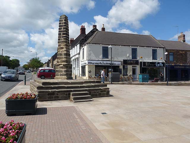
Bedlington
- Overview About Bedlington Map Street View Bedlington is a town in Northumberland, located by the northern banks of the River Blyth, about 10 miles north of Newcastle and 4 miles south …
Co-Curate Page
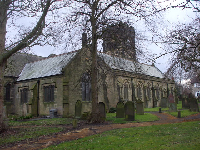
Church of St Cuthbert
- Overview Map Street View St Cuthbert's Church in Bedlington can be dated back to the 10th Century and was built on the site of an earlier church.[1] The remains of …
Co-Curate Page
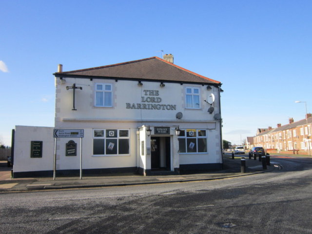
West Sleekburn
- Overview Map Street View West Sleekburn is a village in Northumberland located on the south side of the River Wansbeck, opposite Ashington on the other side of the river. West …

Co-Curate Page
North Blyth Township, 1848
- BLYTH, NORTH, a township, in the parish and division of Bedlington, union of Morpeth, N. division of Northumberland, 8½ miles (E.S.E.) from Morpeth; containing 123 inhabitants. The village is situated …
Co-Curate Page
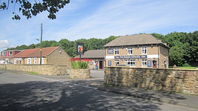
East Sleekburn
- Overview Map Street View East Sleekburn is a village in Northumberland, which is located to the north-east of Bedlington. It is situated on the north banks of Sleek Burn (river), close to …
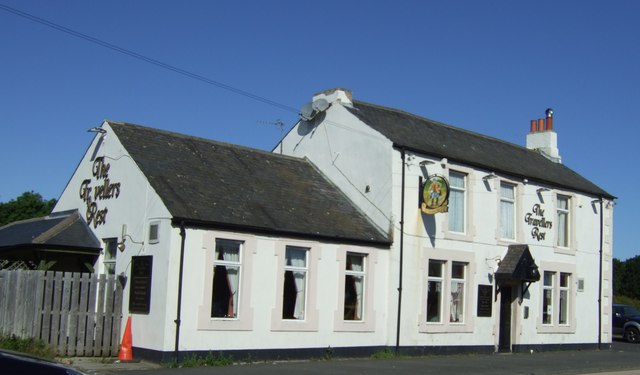
Co-Curate Page
Choppington
- Overview Map Street View CHOPPINGTON, a township, in the parish and division of Bedlington, union of Morpeth, county of Northumberland, 4 miles (E. by S.) from Morpeth; containing 167 inhabitants. …
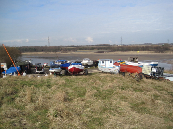
Co-Curate Page
Cambois
- Overview About Cambois Map Street View Cambios is a former mining village near Blyth in Northumberland. It grew with the establishement of Cambios Colliery in the mid 19th century. However, …

Co-Curate Page
Netherton Township, Bedlington Parish, 1848
- This relates to present day Nedderton. NETHERTON, a township, in the parish and division of Bedlington, union of Morpeth, county of Northumberland 4 miles (S.E.) from Morpeth; containing 436 inhabitants. …


from https://openlibrary.org/books…
A topographical dictionary of England, Samuel Lewis, 7th Ed., 1848
- A topographical dictionary of England
comprising the several counties, cities, boroughs, corporate and market towns, parishes, and townships, and the islands of Guernsey, Jersey, and Man, with historical and statistical …
Added by
Simon Cotterill

Co-Curate Page
Bedlington
- Overview About Bedlington Map Street View Bedlington is a town in Northumberland, located by the northern banks of the River Blyth, about 10 miles north of Newcastle and 4 miles south …

Co-Curate Page
Church of St Cuthbert
- Overview Map Street View St Cuthbert's Church in Bedlington can be dated back to the 10th Century and was built on the site of an earlier church.[1] The remains of …

Co-Curate Page
West Sleekburn
- Overview Map Street View West Sleekburn is a village in Northumberland located on the south side of the River Wansbeck, opposite Ashington on the other side of the river. West …

Co-Curate Page
North Blyth Township, 1848
- BLYTH, NORTH, a township, in the parish and division of Bedlington, union of Morpeth, N. division of Northumberland, 8½ miles (E.S.E.) from Morpeth; containing 123 inhabitants. The village is situated …

Co-Curate Page
East Sleekburn
- Overview Map Street View East Sleekburn is a village in Northumberland, which is located to the north-east of Bedlington. It is situated on the north banks of Sleek Burn (river), close to …

Co-Curate Page
Choppington
- Overview Map Street View CHOPPINGTON, a township, in the parish and division of Bedlington, union of Morpeth, county of Northumberland, 4 miles (E. by S.) from Morpeth; containing 167 inhabitants. …

Co-Curate Page
Cambois
- Overview About Cambois Map Street View Cambios is a former mining village near Blyth in Northumberland. It grew with the establishement of Cambios Colliery in the mid 19th century. However, …


