Topics > Civil Parishes in Cumbria > Ainstable Civil Parish
Ainstable Civil Parish
About the Parish
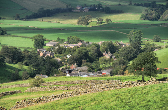
Ainstable is a civil parish in Cumbria which borders the banks of the River Eden and the North Pennines and also the boundry with Northumberland.
| Main Settlements: |
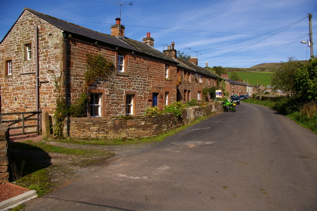
The villages of Ainstable, Croglin and Newbiggin as well as the hamlets of Dale, Ruckcroft and Longdales. |
| Population: |
544 (2021 Census) 570 (2011 Census) 532 (2001 Census) |
| Area: | 46.6 km2 |
| Parish Council: | Ainstable Parish Council |
| Unitary Authority: | Westmorland & Furness Council |
| Ceremonial County: | Cumbria |
Historical |
|
| Ancient Townships |
Ainstable with Ruckroft Croglin Townships became civil parishes in their own right in 1866 (see below). |
| Ancient Parishes: |
Ainstable with Ruckroft (St Michael) Croglin (St. John the Baptist) Ancient parishes refer to the parishes before the split between ecclesiastical (church) and civil parishes in the 19th century. They had a parish church and often were composed of multiple townships and chapelries. In many cases, townships and parishes were originally based on the territory of manors from the feudal system during medieval times. Civil parishes were created following the Poor Law Amendment Act 1866, in which Church of England parishes, extra-parochial areas, townships and chapelries, became "civil parishes" which could set their own poor rate (tax). Then the reforms of Local Government Act 1894 established elected civil parish councils (or parish meetings for parishes with less than 300 residents) and created urban and rural districts. Boundaries of parishes and civil parishes may have changed over time. Historically, Croglin Parish was a separate Civil Parish. Then, in 1934, most of Croglin and parts of Cumwhitton civil parishes were merged into Ainstable Civil Parish.[2] |
| Ancient District: |
Leath (ward) |
| Poor Law Union: |
Penrith Poor Law Union, formed in 1836. Penrith Union Workhouse was located by Greystoke Road, opening in 1838. This replaced smaller existing workhouses in Penrith (Middlegate), Ainstable and Heskett. Under the Poor Law Amendment Act of 1834 parishes were grouped into Unions, each of which had to build a workhouse if they did not already have one. It ended the old system of locally provided poor relief which had come under strain as numbers out of work grew, following increasing mechanisation of agriculture and the economic downturn after the Napoleonic Wars, along with changing social attitudes. The workhouse provided those unable to support themselves financially with accommodation and work. Inmates were generally segregated into men, women, boys and girls. The workhouse system was abolished by the Local Government Act 1929, but many workhouses lived on as ‘Public Assistance Institutions’ until the National Assistance Act 1948. |
| County: |
Cumberland, until 1974, then: Cumbria, which was created on the 1st of April 1974, following the Local Government Act 1972. The new county absorbed Cumberland and Westmorland, and added some parts of Lancashire and the West Riding of Yorkshire. Cumbria County Council was abolished in 2023 and replaced by 2 new Unitary authorities. Cumbria remains a ceremonial county; retaining ceremonial boundary and the roles and responsibilities of the Lord Lieutenant and High Sheriff of Cumbria - based on 'The Cumbria (Structural Changes) Order 2022'. |
|
District Council: |
Penrith Rural District (1894 - 1974) Eden District (1974 - 2023) Created by the Local Government Act 1972. Eden District was formed from an amalgamation of Penrith Urban District, Alston with Garrigill Rural District and Penrith Rural District (Cumberland), and Appleby Municipal Borough, part of Lakes Urban District and North Westmorland Rural District (Westmorland). Eden District Council and the 5 other district councils of Cumbria, along with the county council, were abolished as part of local government reorganisation in 2023; and replaced by two unitary authorities on 1st April 2023. |
|
Unitary Authority: |
Westmorland & Furness Council was created on the 1st April 2023. The 'new' Westmorland & Furness unitary authority area includes the historic county of Westmorland, along with parts of historic Cumberland, including Penrith and it's surrounding area, and also parts of historic Yorkshire and Lancashire. |
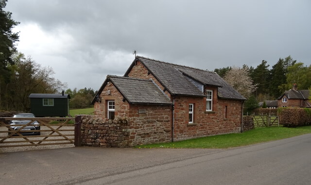
See also: ![]() Historic Buildings and Monuments in Ainstable Civil Parish. Note: listed buildings are generally the responsibility of the county council / unitary authority, rather than the parish council.
Historic Buildings and Monuments in Ainstable Civil Parish. Note: listed buildings are generally the responsibility of the county council / unitary authority, rather than the parish council.
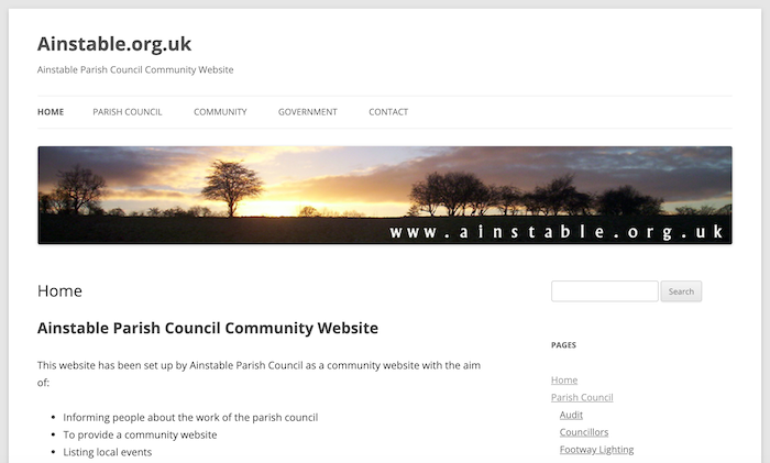
from http://ainstable.org.uk/
Ainstable Parish Council Community Website
- Official Website of Ainstable Parish Council
Added by
Simon Cotterill
Co-Curate Page
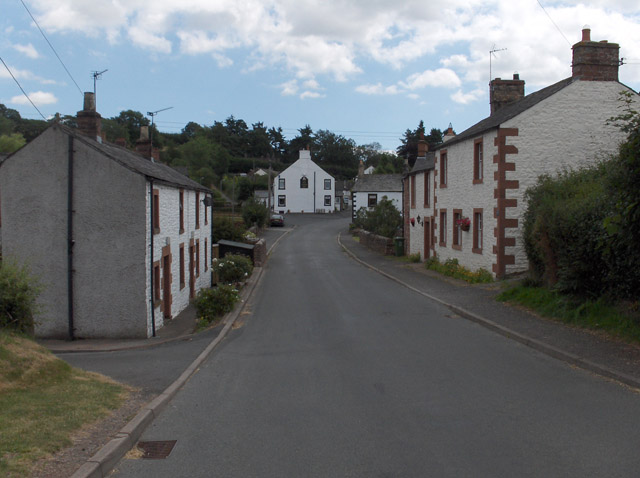
Ainstable
- Overview About Ainstable Map Street View Ainstable is a small village and civil parish in the English county of Cumbria. The parish stretches from the banks of the River …
Co-Curate Page
Croglin
- Overview About Croglin Map Street View Croglin is a village in the Eden district of Cumbria. It forms part of the Civil Parish of Ainstable. Croglin is the name of …
Co-Curate Page
Ruckcroft
- Overview Map Street View Ruckcroft is a hamlet in the Eden district of Cumbria, which forms part of the Civil Parish of Ainstable. RUCKCROFT, a hamlet, in the parish of …

from https://www.cumbriacountyhist…
Ainstable
- "Ancient parish in Leath ward, Cumberland. CP enlarged by addition of most of Croglin and part of Cumwhitton CPs 1934.
Acreage:
4,433 acres [1,826 ha] before boundary changes. 285 acres …
Added by
Simon Cotterill
Co-Curate Page
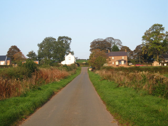
Newbiggin, Ainstable
- Overview About Newbiggin Map Street View Newbiggin is a small hamlet in Cumbria, England Cumrew beck flows north-west through Newbiggin eventually joining the Eden close to Armathwaite. The village …

Co-Curate Page
Longdales
- Overview Map Street View Longdales is a hamlet in the Eden District of Cumbria, located about 9 miles south-east of Carlisle and 1 mile south-west of the village of Ainstable …

from http://ainstable.org.uk/
Ainstable Parish Council Community Website
- Official Website of Ainstable Parish Council
Added by
Simon Cotterill
Co-Curate Page
Ainstable
- Overview About Ainstable Map Street View Ainstable is a small village and civil parish in the English county of Cumbria. The parish stretches from the banks of the River …
Co-Curate Page
Croglin
- Overview About Croglin Map Street View Croglin is a village in the Eden district of Cumbria. It forms part of the Civil Parish of Ainstable. Croglin is the name of …
Co-Curate Page
Ruckcroft
- Overview Map Street View Ruckcroft is a hamlet in the Eden district of Cumbria, which forms part of the Civil Parish of Ainstable. RUCKCROFT, a hamlet, in the parish of …
from https://www.cumbriacountyhist…
Ainstable
- "Ancient parish in Leath ward, Cumberland. CP enlarged by addition of most of Croglin and part of Cumwhitton CPs 1934.
Acreage:
4,433 acres [1,826 ha] before boundary changes. 285 acres …
Added by
Simon Cotterill
Co-Curate Page
Newbiggin, Ainstable
- Overview About Newbiggin Map Street View Newbiggin is a small hamlet in Cumbria, England Cumrew beck flows north-west through Newbiggin eventually joining the Eden close to Armathwaite. The village …


