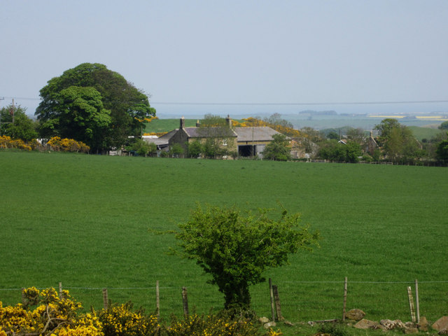
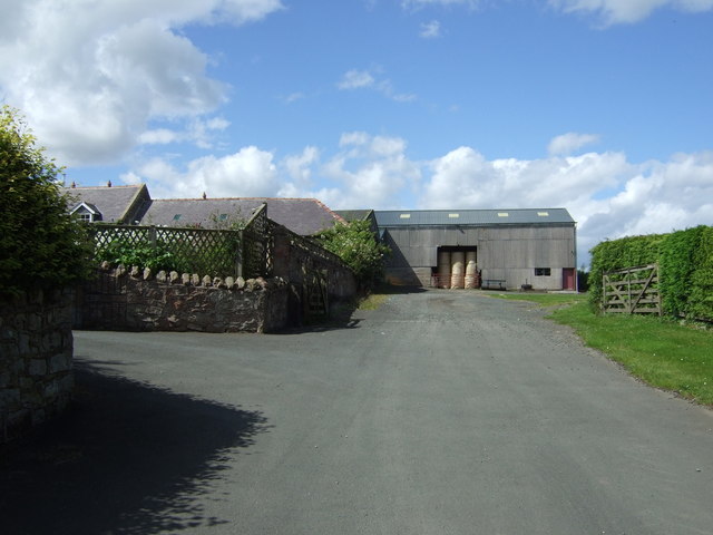
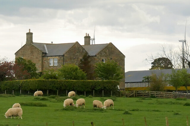
Topics > Northumberland > Civil Parishes in Northumberland > Adderstone with Lucker Civil Parish
Adderstone with Lucker Civil Parish
Parish boundaries may have changed - for the latest map see the Parish Council or Northumberland County Council.
About the Parish
| Main Settlements: |
Adderstione, Bellshill, Bradford, Hoppen, Lucker, Newstead, Rayheugh, Rosebrough, Twizell, Warenford |
| Population: |
205. (2021 Census) 238 (2011 Census) 195 (2001 Census) |
| Area: | 31.3 km2 |
| Parish Council: | Adderstone with Lucker Parish Council |
| Unitary Authority: | Northumberland County Council |
Historical |
|
|
Ancient Townships (in modern CP area) |
Townships became civil parishes in their own right in 1866 (see below). |
| Ancient Parish: |
Ancient parishes refer to the parishes before the split between ecclesiastical (church) and civil parishes in the 19th century. They had a parish church and often were composed of multiple townships and chapelries. In many cases, townships and parishes were originally based on the territory of manors from the feudal system during medieval times. Civil parishes were created following the Poor Law Amendment Act 1866, in which Church of England parishes, extra-parochial areas, townships and chapelries, became "civil parishes" which could set their own poor rate (tax). Then the reforms of Local Government Act 1894 established elected civil parish councils (or parish meetings for parishes with less than 300 residents) and created urban and rural districts. Boundaries of parishes and civil parishes may have changed over time. |
| Ancient District: |
Bamburgh (ward) |
| Poor Law Union: |
Belford Poor Law Union, formed in 1836. Belford Union Workhouse was located on West Street in Belford, which opened in 1839. Under the Poor Law Amendment Act of 1834 parishes were grouped into Unions, each of which had to build a workhouse if they did not already have one. It ended the old system of locally provided poor relief which had come under strain as numbers out of work grew, following increasing mechanisation of agriculture and the economic downturn after the Napoleonic Wars, along with changing social attitudes. The workhouse provided those unable to support themselves financially with accommodation and work. Inmates were generally segregated into men, women, boys and girls. The workhouse system was abolished by the Local Government Act 1929, but many workhouses lived on as ‘Public Assistance Institutions’ until the National Assistance Act 1948. |
|
District Council: |
Belford Rural District (1894 - 1974). The district was abolished in 1974, following the Local Government Act 1972. Berwick-upon-Tweed Borough (1974 - 2009). Berwick-upon-Tweed district covered the previous borough of Berwick-upon-Tweed, Belford Rural District, Glendale Rural District and Norham and Islandshires Rural District. The district council was abolished when Northumberland County Council became a unitary authority on the 1st of April 2009. |
|
Major Boundary Changes: |
Hoppen Civil Parish (1866 - 1887) - absorbed into Lucker Civil Parish in 1887. Adderstone with Lucker Civil Parish was formed 1st April 1955, by the abolition of:
|
|
County / Unitary Authority |
The ancient county of Northumberland was enlarged following the Counties (Detached Parts) Act 1844; Bedlingtonshire, Norhamshire, Islandshire, the Farne Islands and Monks' House all became part of Northumberland. Up to then they had been enclaves of County Durham. Northumberland County Council formed 1889. Major boundary changes came into effect on the 1st April 1974. This followed the Local Government Act 1972, which formed the non-metropolitan county of Northumberland. This excluded the City of Newcastle upon Tyne and North Tyneside, which up to then had been part of Northumberland, but now became part of the newly formed Tyne & Wear. Northumberland County Council became a unitary authority on the 1st of April 2009. |
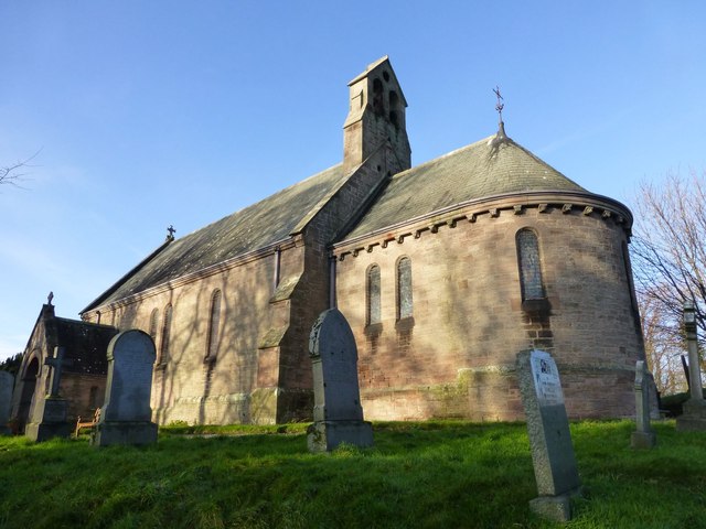
See also: ![]() Historic Buildings and Monuments in Adderstone with Lucker Civil Parish. Note: listed buildings are generally the responsibility of the county council / unitary authority, rather than the parish council.
Historic Buildings and Monuments in Adderstone with Lucker Civil Parish. Note: listed buildings are generally the responsibility of the county council / unitary authority, rather than the parish council.

from http://www.keystothepast.info…
Local History: Adderstone with Lucker (Northumberland)
- "The parish of Adderstone with Lucker lies in north Northumberland on the coastal plain. It stretches from high moorland in the south-west, through the scarps and vales around Warenford, to …
Added by
Simon Cotterill
Co-Curate Page
Lucker
- Overview Map Street View Lucker is a village in Northumberland, located about 3 miles south-west of Bambrugh and 3 miles south-east of Belford. The village is part of the Civil …
Co-Curate Page
Adderstone
- Overview Map Street View Adderstone is a hamlet in Northumberland, located about 12 miles north of Alnwick and 3 miles south-east of Belford. Some of the houses in Adderstone are …
Co-Curate Page
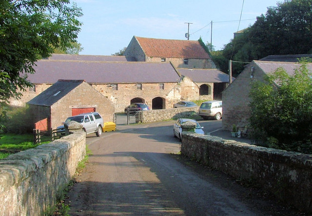
Twizell (Adderstone with Lucker)
- Twizell, Twizell Mill and Twizell House are small settlements in Northumberland, in the parish of Adderstone with Lucker. Not to be confused with Twizell in the parish of Duddo in …
Co-Curate Page
Bradford (nr Bambrugh)
- Overview Map Street View Bradford is a hamlet in Northumberland located by Waren Burn. It is two and a half miles south-west of Bamburgh and a similar distance south-east of …
Co-Curate Page
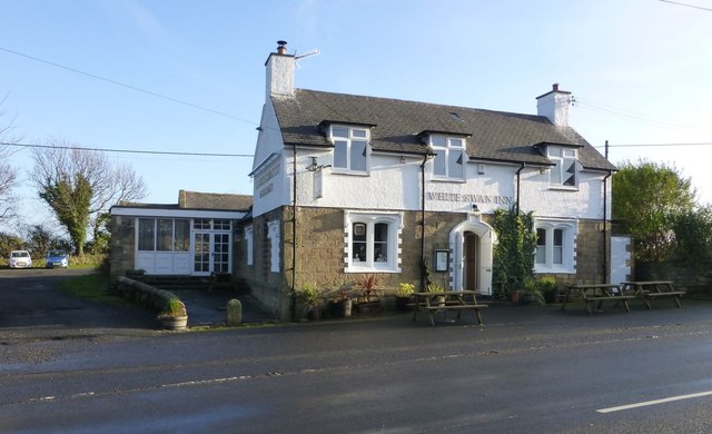
Warenford
- Overview Map Street View Warenford is a village by the Waren Burn in Northumberland, just over 3 miles south of Belford and 10 miles north-west of Alnwick. The village of Warenford …
Co-Curate Page
Newstead, Northumberland
- Overview Map Street View Newstead is a hamlet in Northumberland, located about 1½ miles south-west of the village of Newham and 4½ miles south-east of Belford. Newstead is thought to …
Co-Curate Page
Hoppen, Northumberland
- Overview Map Hoppen is a hamlet in Northumberland, located about 3 miles south-west of Bamburgh and ½ mile north-east of the village of Lucker. Winlaw Burn flows by Hoppen Bank …
Co-Curate Page
Ratchwood, Northumberland
- Overview Map Street View Ratchwood is located about half a mile south-east of Warenford in Northumberland. It is thought to have been the location of a medieval settlement[1] and in …
Co-Curate Page
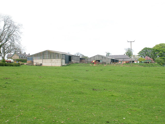
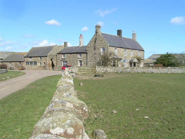
Rayheugh, Northumberland
- Overview Map Street View Rayheugh is a farm / hamlet in Northumberland, located off the A1 road, about 4 miles south-east of Belford and 10 miles north-west of Alnwick. Rayheugh …
Co-Curate Page
Bellshill, Northumberland
- Overview Map Street View Bellshill is a hamlet in Northumberland, located about 2 miles south of Belford and 12 miles north of Alnwick. The settlement is on the B6348, a …
Co-Curate Page
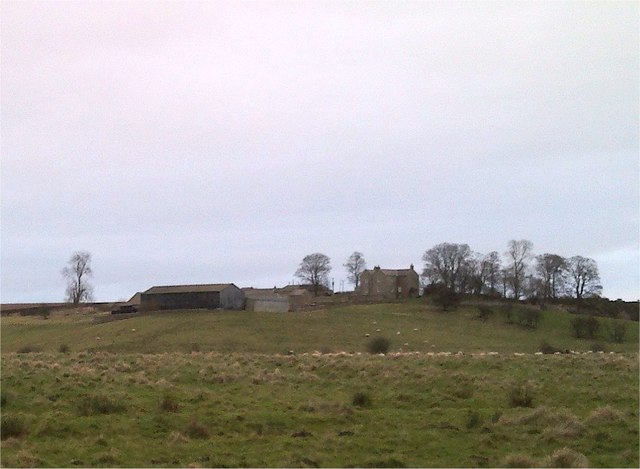
Rosebrough, Northumberland
- Overview Map Street View Rosebrough is a farm in Northumberland, located off the A1 road, about 5 miles south-east of Belford and 9 miles north-west of Alnwick. Historically, Rosebrough was …

from http://www.keystothepast.info…
Local History: Adderstone with Lucker (Northumberland)
- "The parish of Adderstone with Lucker lies in north Northumberland on the coastal plain. It stretches from high moorland in the south-west, through the scarps and vales around Warenford, to …
Added by
Simon Cotterill
Co-Curate Page
Lucker
- Overview Map Street View Lucker is a village in Northumberland, located about 3 miles south-west of Bambrugh and 3 miles south-east of Belford. The village is part of the Civil …
Co-Curate Page
Adderstone
- Overview Map Street View Adderstone is a hamlet in Northumberland, located about 12 miles north of Alnwick and 3 miles south-east of Belford. Some of the houses in Adderstone are …
Co-Curate Page
Twizell (Adderstone with Lucker)
- Twizell, Twizell Mill and Twizell House are small settlements in Northumberland, in the parish of Adderstone with Lucker. Not to be confused with Twizell in the parish of Duddo in …
Co-Curate Page
Bradford (nr Bambrugh)
- Overview Map Street View Bradford is a hamlet in Northumberland located by Waren Burn. It is two and a half miles south-west of Bamburgh and a similar distance south-east of …
Co-Curate Page
Warenford
- Overview Map Street View Warenford is a village by the Waren Burn in Northumberland, just over 3 miles south of Belford and 10 miles north-west of Alnwick. The village of Warenford …
Co-Curate Page
Newstead, Northumberland
- Overview Map Street View Newstead is a hamlet in Northumberland, located about 1½ miles south-west of the village of Newham and 4½ miles south-east of Belford. Newstead is thought to …
Co-Curate Page
Hoppen, Northumberland
- Overview Map Hoppen is a hamlet in Northumberland, located about 3 miles south-west of Bamburgh and ½ mile north-east of the village of Lucker. Winlaw Burn flows by Hoppen Bank …
Co-Curate Page
Ratchwood, Northumberland
- Overview Map Street View Ratchwood is located about half a mile south-east of Warenford in Northumberland. It is thought to have been the location of a medieval settlement[1] and in …
Co-Curate Page
Rayheugh, Northumberland
- Overview Map Street View Rayheugh is a farm / hamlet in Northumberland, located off the A1 road, about 4 miles south-east of Belford and 10 miles north-west of Alnwick. Rayheugh …
Co-Curate Page
Bellshill, Northumberland
- Overview Map Street View Bellshill is a hamlet in Northumberland, located about 2 miles south of Belford and 12 miles north of Alnwick. The settlement is on the B6348, a …


