Topics > Historical Periods > 19th Century > 1840s > 1849
1849
In Northern England:
- 5th July 1849: birth of William Stead, pioneer journalist and editor of the Nothern Echo in Darlington.
- 15th August 1849: first train crossing of the High Level Bridge between Gateshead and Newcastle.
from http://books.google.co.uk/boo…
A descriptive and historical guide to Tynemouth, with notices of North Shields, Seaton Delaval, and neighbouring antiquities. William Gibson, 1849
- Book published in 1849, digitised and available as a free Google eBook.
Added by
Simon Cotterill
from http://books.google.co.uk/boo…
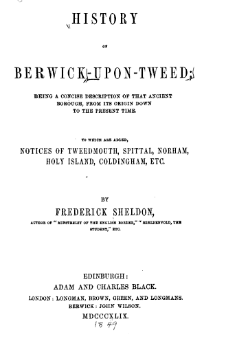
History of Berwick-upon-Tweed: being a concise description of that ancient borough, from its origin down to the present time, to which are added notices of Tweedmouth, Spittal, Norham, Holy Island, Coldingham, etc. Frederick Sheldon. 1849
- Book from 1849 digitised by Google and available as a free eBook
Added by
Simon Cotterill
Co-Curate Page
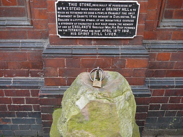
William Thomas Stead (1849-1912)
- William Stead was a pioneer of investigative journalism and one of the first people to show how the press could be used to influence public opinion and government. Stead was …
Co-Curate Page
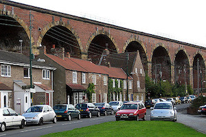
Yarm Railway Viaduct
- Overview Map Street View The railway viaduct over the River Tees between the towns of Yarm and Egglescliffe was built for the Leeds Northern Railway between 1849 and 1851, and officially …
Co-Curate Page
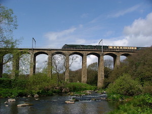
Railway Viaduct
- Overview Map Street View The viaduct just north west of Lesbury carries the railway over the River Aln in Northumberland. The viaduct has 18 arches and was built in 1848/1849 …
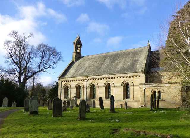
Co-Curate Page
Church of St Michael and All Angels
- Overview Map Street View St Michael and All Angels is the Parish Church of Howick in Northumberland. It was built in 1746 on the site of an earlier medieval church, …
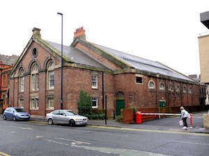
Co-Curate Page
Drill Hall
- Overview History Map Street View Drill Hall at Northumbria University is located on Northumberland Road. It was originally built as the Army Riding School in 1849, by John Dobson, for …
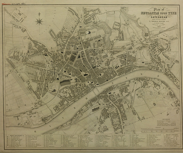
from Newcastle libraries (flickr)
Plan of Newcastle upon Tyne and Gateshead from actual survey by Thomas Oliver, 1849
Pinned by Simon Cotterill
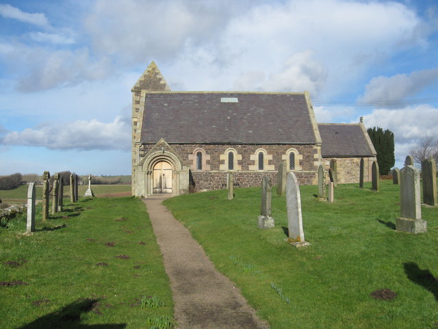
Co-Curate Page
Church of St. Paul
- Overview History Map Street View St Paul's is the Parish church of Branxton, Northumberland. Parts of the church, the chancel arch in particular, date back to the late 12th or …
Co-Curate Page
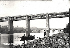
High Level Bridge
- Overview About the High Level Bridge Map Street View The High Level Bridge is a 'double decker' road and railway bridge spanning the River Tyne between Newcastle and Gateshead. The …
Co-Curate Page
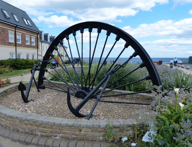
Seaham Colliery (1849-1988)
- Seaham Colliery was a coal mine near Seaham in County Durham. Sinking of the first pit began on 13th April 1849 for the by the third Marquis of Londonderry. In the late …
Co-Curate Page
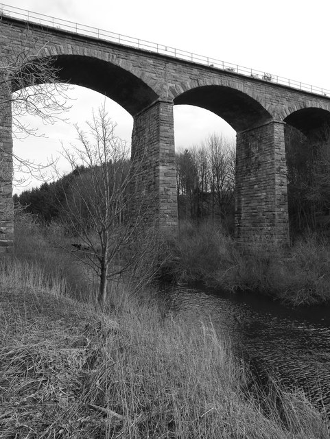
Twizel Viaduct
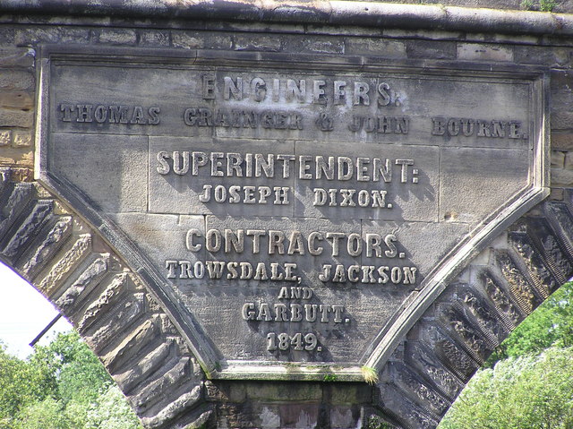
- Twizel Viaduct was built between 1846 and 1849 by the Newcastle & Berwick Railway, to carry the Tweedmouth to Kelso railway branch line over the River Till at Twizell in …

Co-Curate Page
Church of the Holy Trinity, Seghill
- Overview Map Street View Holy Trinity Church is located off Mares Close, to the west of Seghill, and near Seaton Delaval. The church was built in 1849, designed by John …
Co-Curate Page
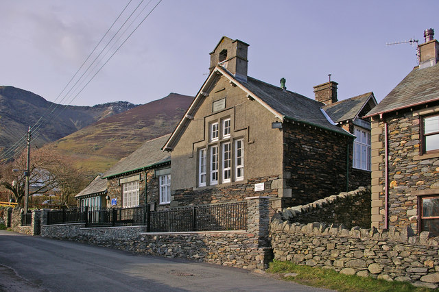
Threlkeld Primary School
- Overview Map Street View Threlkeld Primary Church of England School is located on Blease Road in Threlkeld. The school has about 60 pupils from age 4 to 11.[1] The current …
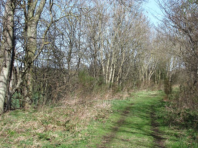
Co-Curate Page
Tweedmouth to Kelso Branch Line
- Overview About the Kelso Branch The Kelso Branch was a twin track branch railway in Northumberland, England and Roxburghshire, Scotland that ran from on the East Coast Main Line …
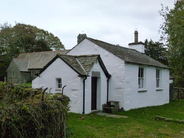
Co-Curate Page
Old Schoolhouse, Winster
- Overview Map Street View The old school, located by Holy Trinity Church in Winster, Cumbria, was built in 1849. The school closed in c.1958, and the building subsequently converted for …
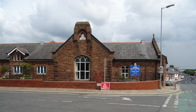
Co-Curate Page
St George's CofE School
- Overview Map Street View St George's Church of England School is located by the junction of School Street and Salthouse Road in Barrow-in-Furness. It is a voluntary controlled school with …
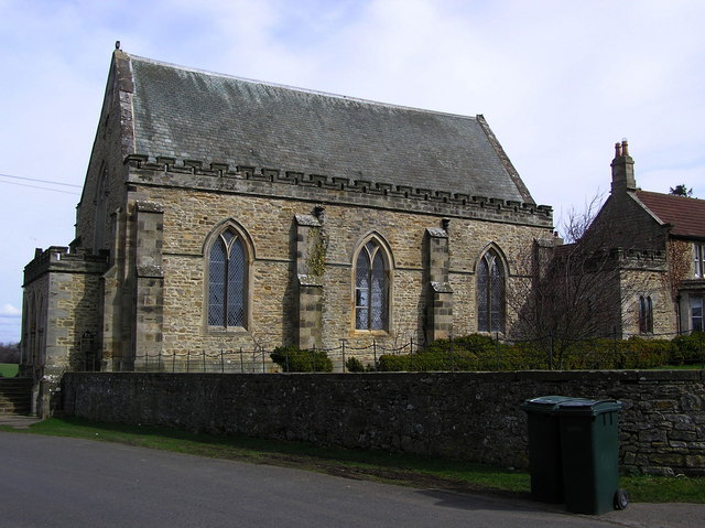
Co-Curate Page
St. Mary's RC Church, Wycliffe
- Overview Map Street View St Mary's Roman Catholic Church is located on Green Lane, between Hutton Magna and Wycliffe. The church, on a prominent hilltop position, was built in 1849, …


from http://books.google.co.uk/boo…
A descriptive and historical guide to Tynemouth, with notices of North Shields, Seaton Delaval, and neighbouring antiquities. William Gibson, 1849
- Book published in 1849, digitised and available as a free Google eBook.
Added by
Simon Cotterill

from http://books.google.co.uk/boo…
History of Berwick-upon-Tweed: being a concise description of that ancient borough, from its origin down to the present time, to which are added notices of Tweedmouth, Spittal, Norham, Holy Island, Coldingham, etc. Frederick Sheldon. 1849
- Book from 1849 digitised by Google and available as a free eBook
Added by
Simon Cotterill

Co-Curate Page
William Thomas Stead (1849-1912)
- William Stead was a pioneer of investigative journalism and one of the first people to show how the press could be used to influence public opinion and government. Stead was …

Co-Curate Page
Yarm Railway Viaduct
- Overview Map Street View The railway viaduct over the River Tees between the towns of Yarm and Egglescliffe was built for the Leeds Northern Railway between 1849 and 1851, and officially …

Co-Curate Page
Railway Viaduct
- Overview Map Street View The viaduct just north west of Lesbury carries the railway over the River Aln in Northumberland. The viaduct has 18 arches and was built in 1848/1849 …

Co-Curate Page
Church of St Michael and All Angels
- Overview Map Street View St Michael and All Angels is the Parish Church of Howick in Northumberland. It was built in 1746 on the site of an earlier medieval church, …

Co-Curate Page
Drill Hall
- Overview History Map Street View Drill Hall at Northumbria University is located on Northumberland Road. It was originally built as the Army Riding School in 1849, by John Dobson, for …

from Newcastle libraries (flickr)
Plan of Newcastle upon Tyne and Gateshead from actual survey by Thomas Oliver, 1849
Pinned by Simon Cotterill

Co-Curate Page
Church of St. Paul
- Overview History Map Street View St Paul's is the Parish church of Branxton, Northumberland. Parts of the church, the chancel arch in particular, date back to the late 12th or …

Co-Curate Page
High Level Bridge
- Overview About the High Level Bridge Map Street View The High Level Bridge is a 'double decker' road and railway bridge spanning the River Tyne between Newcastle and Gateshead. The …

Co-Curate Page
Seaham Colliery (1849-1988)
- Seaham Colliery was a coal mine near Seaham in County Durham. Sinking of the first pit began on 13th April 1849 for the by the third Marquis of Londonderry. In the late …

Co-Curate Page
Twizel Viaduct
- Twizel Viaduct was built between 1846 and 1849 by the Newcastle & Berwick Railway, to carry the Tweedmouth to Kelso railway branch line over the River Till at Twizell in …

Co-Curate Page
Church of the Holy Trinity, Seghill
- Overview Map Street View Holy Trinity Church is located off Mares Close, to the west of Seghill, and near Seaton Delaval. The church was built in 1849, designed by John …

Co-Curate Page
Threlkeld Primary School
- Overview Map Street View Threlkeld Primary Church of England School is located on Blease Road in Threlkeld. The school has about 60 pupils from age 4 to 11.[1] The current …

Co-Curate Page
Tweedmouth to Kelso Branch Line
- Overview About the Kelso Branch The Kelso Branch was a twin track branch railway in Northumberland, England and Roxburghshire, Scotland that ran from on the East Coast Main Line …

Co-Curate Page
Old Schoolhouse, Winster
- Overview Map Street View The old school, located by Holy Trinity Church in Winster, Cumbria, was built in 1849. The school closed in c.1958, and the building subsequently converted for …

Co-Curate Page
St George's CofE School
- Overview Map Street View St George's Church of England School is located by the junction of School Street and Salthouse Road in Barrow-in-Furness. It is a voluntary controlled school with …

Co-Curate Page
St. Mary's RC Church, Wycliffe
- Overview Map Street View St Mary's Roman Catholic Church is located on Green Lane, between Hutton Magna and Wycliffe. The church, on a prominent hilltop position, was built in 1849, …

Drill Hall, Northumbria University

Church of St Michael and All Angels, Howick
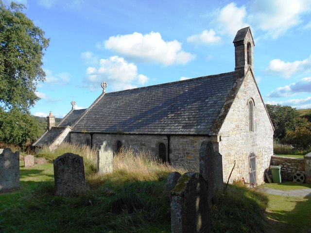
Church of St Mary, Holystone, Northumberland
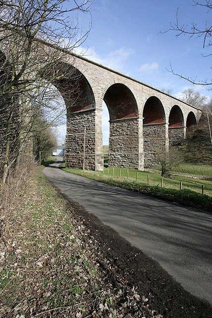
Railway Viaduct #1, West Learmouth
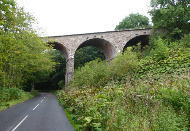
Railway Viaduct #2, West Learmouth

Church of the Holy Trinity, Seghill

Tweedmouth to Kelso Branch Line

St. Mary's RC Church, Wycliffe

St George's CofE School, Barrow-in-Furness

William Thomas Stead (1849-1912)
