Topics > County Durham > Civil Parishes in County Durham > Stanley Town Council Area
Stanley Town Council Area
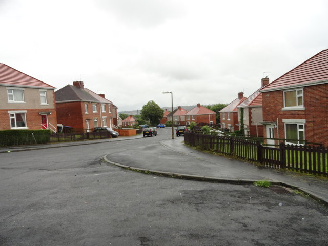
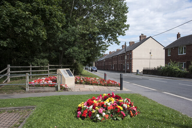
Whilst the parish is centered on the Town of Stanley itself, it also includes the surrounding villages of Annfield Plain, Catchgate, Harelaw, Harperley, Greencroft, Oxhill, New Kyo, East Kyo, West Kyo, Craghead and The Middles, South Moor, Quaking Houses, East Stanley, South Stanley, Shield Row, Kip Hill, Coppy, Causey, Tanfield, Tanfield Lea, Clough Dene, Tantobie, Sleepy Valley, White-le-Head and part of Flint Hill.
Area: 36.6 km²
Population:
33,323 (2021 Census)
32,766 (2011 Census)
31,000 (2001 Census)
Ancient Parish: Tanfield
Unitary Authority: Durham County Council
In 1974, Stanley Urban District was abolished and merged with the Consett Urban and Lanchester Rural Districts to form the Derwentside District Council under the Local Government Act 1972. This new district council became the local government authority for the area until it was abolished in 2009, at which point its functions were transferred to the new unitary authority, Durham County Council.
Stanley Town Council was formed on the 1st April, 2008. This followed a petition from local residents, which the former Derwentside District Council supported in 2005, when they granted permission for the new parish and council to be formed.

from http://www.stanley-tc.gov.uk/
Stanley Town Council
- Official Website of the council, including details of services etc. "Stanley Town Council was created by Statutory Instrument (No: 1185, Local Government, England) dated the 11th April 2007 in direct …
Added by
Simon Cotterill
Co-Curate Page
Stanley
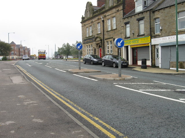
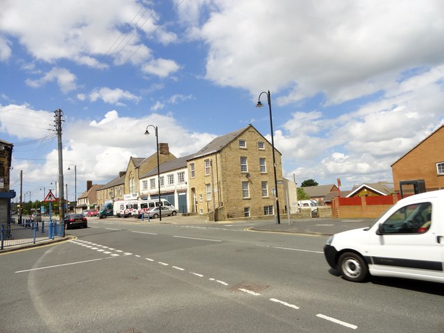
- Overview About Stanley Map Street View Stanley is town in County Durham, located on high-ground, about 4 miles west of Chester-le-Street and 5 miles east of Consett. It has a …
Co-Curate Page
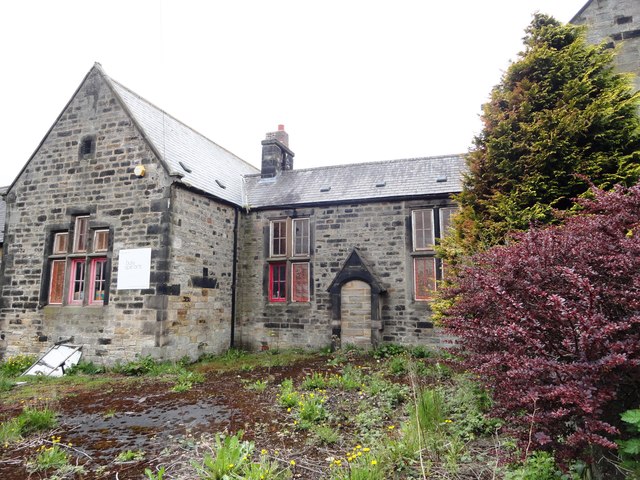
Tanfield
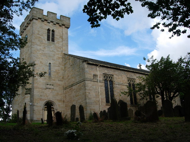
- Overview History Map Street View Tanfield is a former mining village near Stanley in County Durham. The village has a long history, including a church daing back to the 10th …
Co-Curate Page
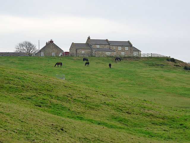
South Moor
- Overview About South Moor Map Street View Near Stanley in County Durham. South Moor is a village in County Durham, in England. It is located to the south-west of Stanley …
Co-Curate Page
Annfield Plain
- Overview About Annfield Plain Map Annfield Plain is a village in County Durham, located between Stanley and Consett. The village's past is strongly associated with coal mining, which can be …
Co-Curate Page
Catchgate
- Overview About Catchgate Map Street View Catchgate is a former mining village in County Durham, England. It has a population of approximately 3,000 people. Its nearest town is Stanley, …
Co-Curate Page
Craghead
- Overview About Craghead Map Street View Craghead is a village in County Durham, located about 1½ miles south-east of Stanley and 5½ miles north-west of Durham. It was originally a …
Co-Curate Page
Greencroft
- GREENCROFT, a township, in the parish and union of Lanchester, W. division of Chester ward, N. division of the county of Durham, 9 miles (N.W. by W.) from Durham; containing …
Co-Curate Page
Harelaw
- Overview Map Street View Harelaw is a village just north of Annfield Plain and West Kyo in County Durham. The former mining village has a number of notable Victorian buildings, including …
Co-Curate Page
New Kyo
- Overview About New Kyo Map Street View New Kyo is a village in County Durham, in England. It is situated close to the A693 road between Annfield Plain and …

Co-Curate Page
West Kyo
- Overview About West Kyo Map Street View West Kyo is a small village near Annfield Plain in County Durham. The village's past is closely linked with coal mining, and West Kyo …
Co-Curate Page
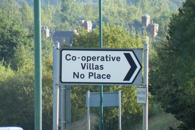
No Place
- Overview About No Place Map Street View No Place (also known as Co-operative Villas) is a small village close to Beamish near the town of Stanley in County Durham. Some …
Co-Curate Page
Tantobie
- Overview About Tantobie Map Street View Tantobie is a former colliery village in County Durham, in England. It is situated 2 miles to the northwest of Stanley and the …
Co-Curate Page
White-le-Head
- Overview Map Street View White-le-Head is a village in County Durham, immediately to the west of Tantobie.
Co-Curate Page
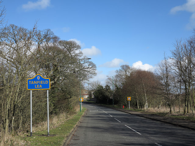
Tanfield Lea
- Overview About Tanfield Lea Map Street View Tanfield Lea is a village north of Stanley, County Durham, England, and south of Tantobie. Religious sites There is a Methodist Church, …
Co-Curate Page
Harperley
- Overview About Harperley Map Street View Harperley is a small village in County Durham, England. It is situated between Tantobie to the north east, Tanfield Lea to the east, …
Co-Curate Page
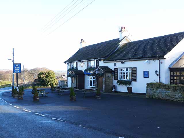
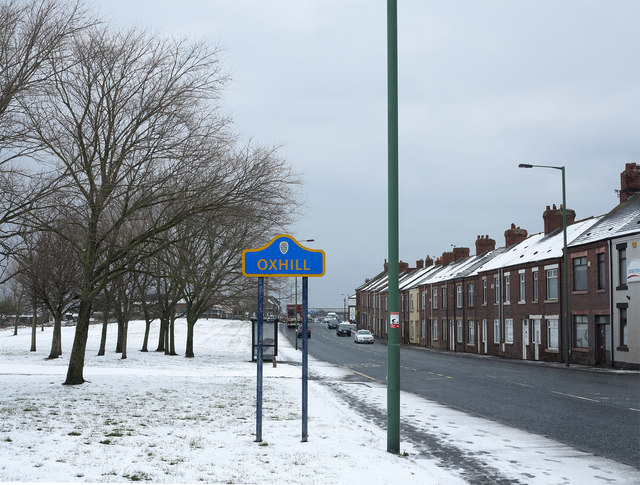
Oxhill
- Overview About Oxhill Map Street View Oxhill is a small village in County Durham, in England. It is located to the west of Stanley, on the bottom of the …
Co-Curate Page
Coppy, County Durham
- Overview Map Street View Coppy is a hamlet in County Durham, located to the north-west of Stanley. The hamlet is located at the southern end of Coppy Lane, which runs …
Co-Curate Page
Sleepy Valley, Tantobie
- Overview Map Street View Sleepy Valley (aka Woodside) is an estate / hamlet, located about ¼ mile north-west of Tantobie in County Durham. The estate is bound by woods to …
Co-Curate Page
The Middles, Stanley, County Durham
- Overview Map Street View The Middles is a village in County Durham, located to the south-east of Stanley and to the north-west of Craghead. The Middles is within the Stanley …
Co-Curate Page
Bloemfontein
- Overview Map Street View Bloemfontein is an area near Stanley in County Durham, usually considered part of The Middles or Craghead. Houses built in the area in the early 20th …


from http://www.stanley-tc.gov.uk/
Stanley Town Council
- Official Website of the council, including details of services etc. "Stanley Town Council was created by Statutory Instrument (No: 1185, Local Government, England) dated the 11th April 2007 in direct …
Added by
Simon Cotterill
Co-Curate Page
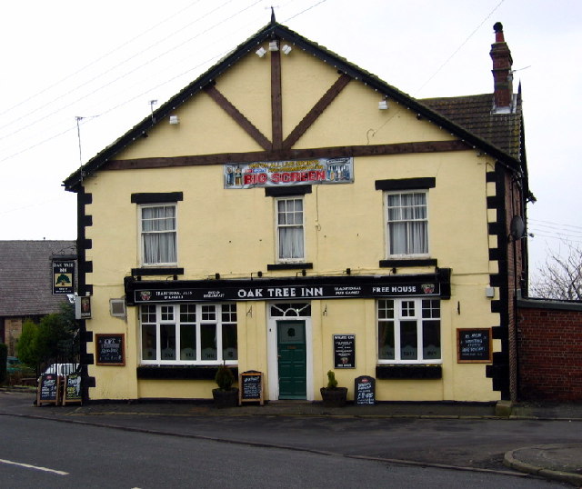
Stanley
- Overview About Stanley Map Street View Stanley is town in County Durham, located on high-ground, about 4 miles west of Chester-le-Street and 5 miles east of Consett. It has a …
Co-Curate Page
Tanfield
- Overview History Map Street View Tanfield is a former mining village near Stanley in County Durham. The village has a long history, including a church daing back to the 10th …
Co-Curate Page
South Moor
- Overview About South Moor Map Street View Near Stanley in County Durham. South Moor is a village in County Durham, in England. It is located to the south-west of Stanley …
Co-Curate Page
Annfield Plain
- Overview About Annfield Plain Map Annfield Plain is a village in County Durham, located between Stanley and Consett. The village's past is strongly associated with coal mining, which can be …
Co-Curate Page
Catchgate
- Overview About Catchgate Map Street View Catchgate is a former mining village in County Durham, England. It has a population of approximately 3,000 people. Its nearest town is Stanley, …
Co-Curate Page
Craghead
- Overview About Craghead Map Street View Craghead is a village in County Durham, located about 1½ miles south-east of Stanley and 5½ miles north-west of Durham. It was originally a …
Co-Curate Page
Greencroft
- GREENCROFT, a township, in the parish and union of Lanchester, W. division of Chester ward, N. division of the county of Durham, 9 miles (N.W. by W.) from Durham; containing …
Co-Curate Page
Harelaw
- Overview Map Street View Harelaw is a village just north of Annfield Plain and West Kyo in County Durham. The former mining village has a number of notable Victorian buildings, including …
Co-Curate Page
New Kyo
- Overview About New Kyo Map Street View New Kyo is a village in County Durham, in England. It is situated close to the A693 road between Annfield Plain and …
Co-Curate Page
West Kyo
- Overview About West Kyo Map Street View West Kyo is a small village near Annfield Plain in County Durham. The village's past is closely linked with coal mining, and West Kyo …
Co-Curate Page
No Place
- Overview About No Place Map Street View No Place (also known as Co-operative Villas) is a small village close to Beamish near the town of Stanley in County Durham. Some …
Co-Curate Page
Tantobie
- Overview About Tantobie Map Street View Tantobie is a former colliery village in County Durham, in England. It is situated 2 miles to the northwest of Stanley and the …
Co-Curate Page
White-le-Head
- Overview Map Street View White-le-Head is a village in County Durham, immediately to the west of Tantobie.
Co-Curate Page
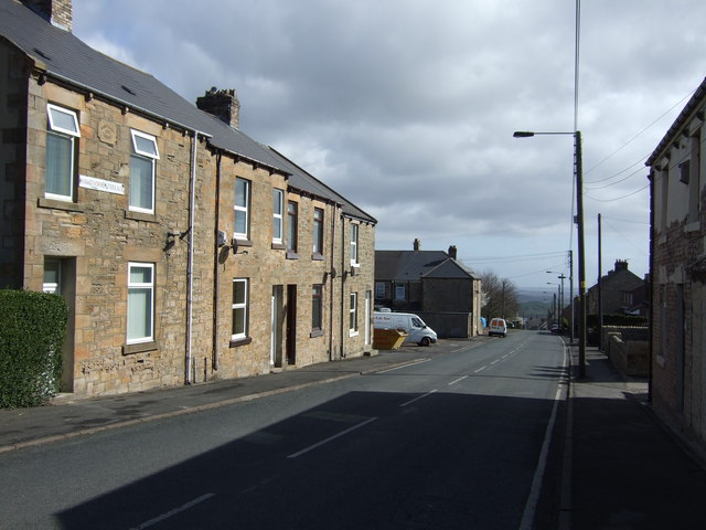
Tanfield Lea
- Overview About Tanfield Lea Map Street View Tanfield Lea is a village north of Stanley, County Durham, England, and south of Tantobie. Religious sites There is a Methodist Church, …
Co-Curate Page
Harperley
- Overview About Harperley Map Street View Harperley is a small village in County Durham, England. It is situated between Tantobie to the north east, Tanfield Lea to the east, …
Co-Curate Page
Oxhill
- Overview About Oxhill Map Street View Oxhill is a small village in County Durham, in England. It is located to the west of Stanley, on the bottom of the …
Co-Curate Page
Coppy, County Durham
- Overview Map Street View Coppy is a hamlet in County Durham, located to the north-west of Stanley. The hamlet is located at the southern end of Coppy Lane, which runs …
Co-Curate Page
Sleepy Valley, Tantobie
- Overview Map Street View Sleepy Valley (aka Woodside) is an estate / hamlet, located about ¼ mile north-west of Tantobie in County Durham. The estate is bound by woods to …
Co-Curate Page
The Middles, Stanley, County Durham
- Overview Map Street View The Middles is a village in County Durham, located to the south-east of Stanley and to the north-west of Craghead. The Middles is within the Stanley …


