Topics > Tyne and Wear > North Tyneside > Longbenton
Longbenton
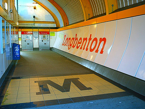
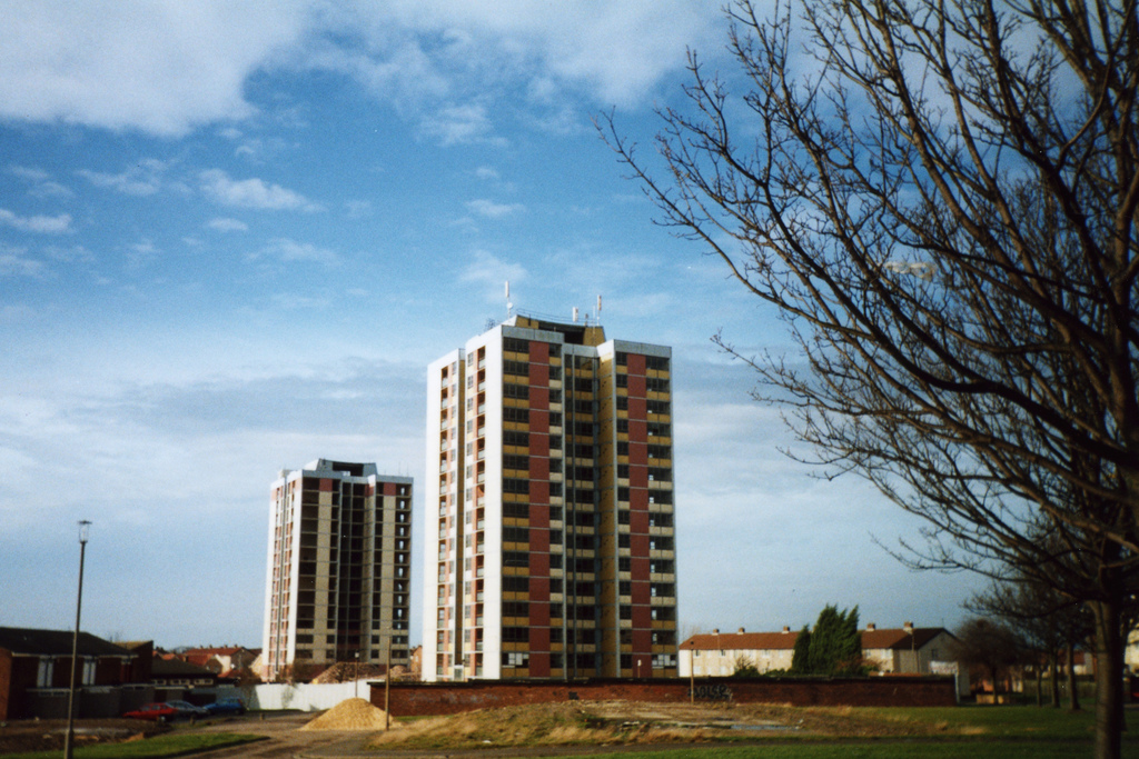
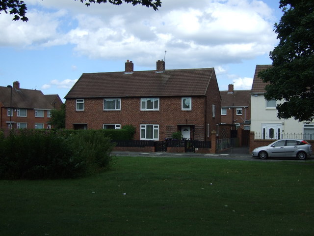
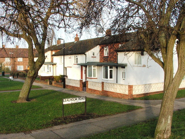
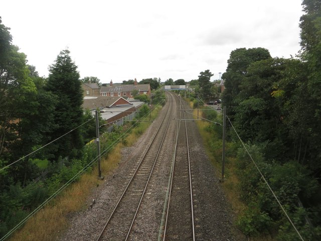
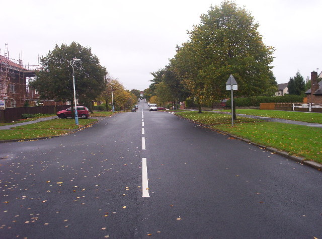
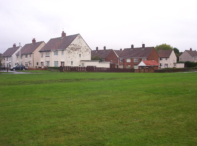
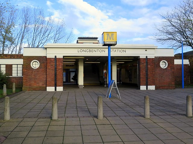
Longbenton is a district of North Tyneside, England. It is largely occupied by an extensive estate originally built as municipal housing by Newcastle City Council in the 1950s and 1960s. It is served by the Tyne and Wear Metro stations Longbenton Metro station and Four Lane Ends Metro Station. Nearby places are Killingworth, Forest Hall, Four Lane Ends, West Moor, Heaton and South Gosforth, in Newcastle upon Tyne. Longbenton and Killingworth Urban Area has a population of 34,878.
Education
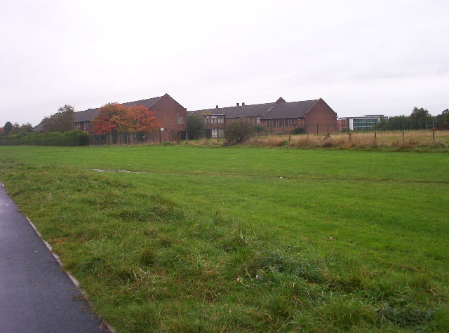
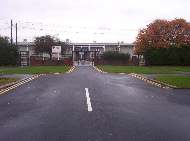
Two secondary schools are located in the township, Longbenton Community College and St Mary's Catholic Comprehensive School, along with four primary schools. The four primary schools are Benton Dene Primary School, Balliol Primary School, St bartholomews and St. Stephen's Primary School.
Longbenton Football Club are an F A affiliated team and as of 2012/13 season play in the Northern Alliance Division 2. Longbenton Football Club. Their home ground is situated behind the Oxford Centre.
Churches
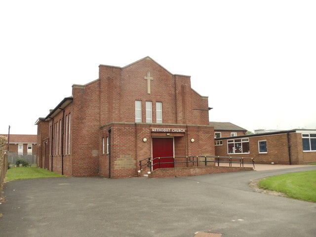
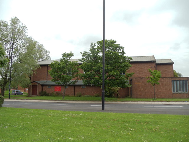
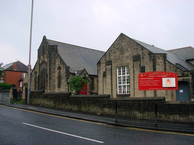
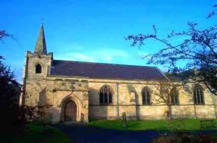
Longbenton is served by St. Mary Magdalene (Church of England) on West Farm Ave, the Methodist church at one end of Chesters Ave and The King's Castle (independent) at the other end of Chesters Ave.
Business
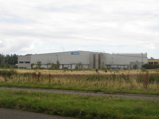
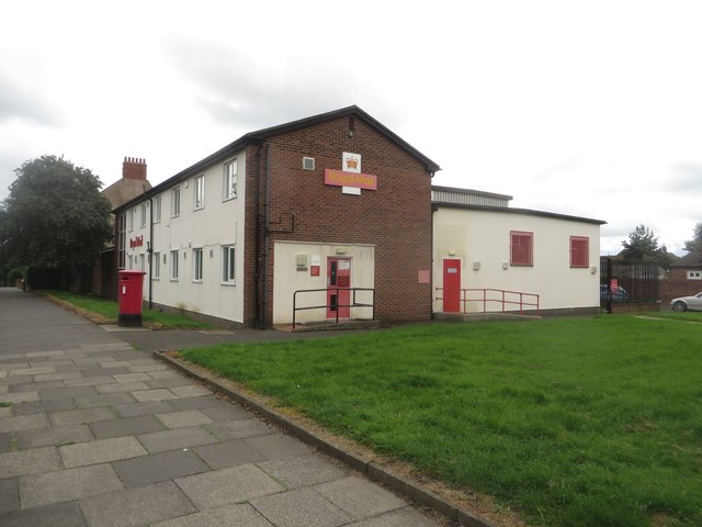
Longbenton is the site of BT's Newcastle call centre. Balliol Business Park is located in Longbenton where a Greggs production site and, until recently, two large Sitel call centres were located. The UK production site for the Findus frozen food brand was based in Longbenton until mid-January 2009 when, through cost-cutting and fire damage, the factory was closed, with the loss of around 400 jobs. Following the award of a grant from Regional development agency One North East the factory was repaired and reopened as Longbenton Foods in 2010. Countrystyle foods took over the site in 2012 and now has roughly 200 staff working there.
Notable residents
Footballer Peter Beardsley grew up in Longbenton and attended Longbenton High School (now Longbenton Community College).
Thomas Addison, 19th century physician and scientist and discoverer of, among others, Addison's Disease and Pernicious anaemia was born and educated in Longbenton. He is widely regarded as one of the leading lights of 19th century medicine, and was famous for his brilliant lecturing style, compassion and empathy for patients (not common among doctors at the time) and devotion to furthering medical science. He has a bust in his old place of work, Guy's Hospital, London.
Writer and poet Michael Roberts lived nearby in Jesmond in the 1930s, and he included Longbenton in his poem Hymn to the Sun.
Government agencies
HM Revenue & Customs and Department for Work and Pensions share a major base on the Longbenton/City of Newcastle upon Tyne border, known as Benton Park View. The site employs around 7,500 workers and is a significant employment source in the area.
Visit the page: Longbenton for references and further details. You can contribute to this article on Wikipedia.

from Newcastle libraries (flickr)
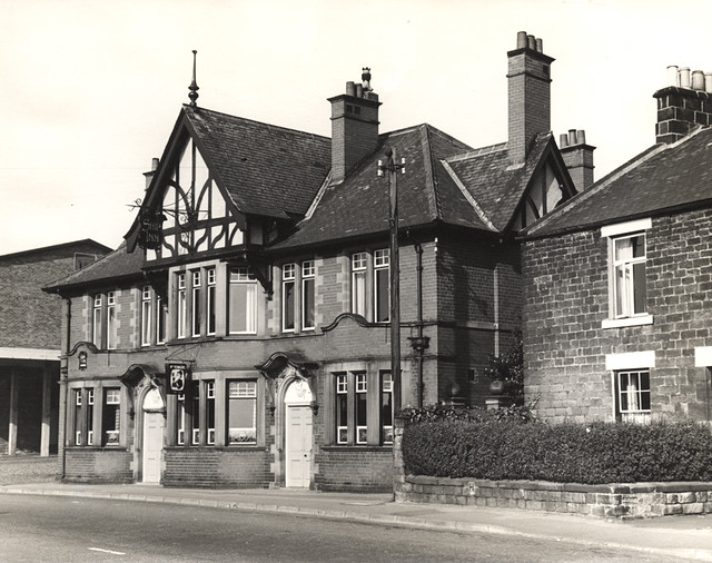
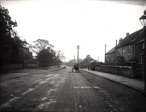
020084:The Rocket Hotel Longbenton Tyne and Wear 1969
Pinned by Lucy (Year 4)
from Newcastle libraries (flickr)
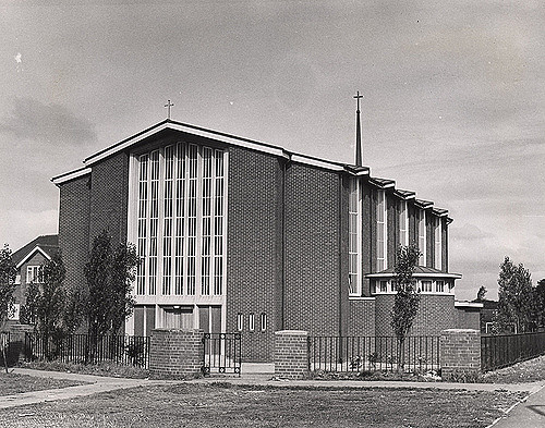
020085:St Paul's Church Longbenton North Tyneside 1969
Pinned by Lucy (Year 4)
from Newcastle libraries (flickr)
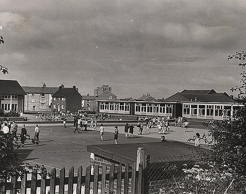
020083:Balliol School Longbenton Tyne and Wear 1969
Pinned by Lucy (Year 4)

from http://www.twsitelines.info/S…
Tyne and Wear HER(786): Longbenton village
- "Long Benton (Magna Benton) was a member of the barony of Merlay or Morpeth. The barony dates from the beginning of the C12, though whether Benton is explicitly named before …
Added by
Simon Cotterill
from Geograph (geograph)
Longbenton Methodist Church, Chesters Avenue, Longbenton
Pinned by Peter Smith
from Geograph (geograph)
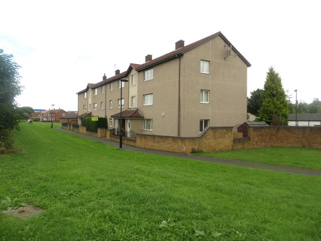
Flats on Byland Road, Longbenton, Newcastle upon Tyne
Pinned by Peter Smith
Co-Curate Page
Forest Hall
- Overview About Forest Hall Map Street View Forest Hall in North Tyneside is a former village, which is now a residential suburb of Newcastle. The area is named after the …

from Newcastle libraries (flickr)
020084:The Rocket Hotel Longbenton Tyne and Wear 1969
Pinned by Lucy (Year 4)
from Newcastle libraries (flickr)
020085:St Paul's Church Longbenton North Tyneside 1969
Pinned by Lucy (Year 4)
from Newcastle libraries (flickr)
020083:Balliol School Longbenton Tyne and Wear 1969
Pinned by Lucy (Year 4)
from http://www.twsitelines.info/S…
Tyne and Wear HER(786): Longbenton village
- "Long Benton (Magna Benton) was a member of the barony of Merlay or Morpeth. The barony dates from the beginning of the C12, though whether Benton is explicitly named before …
Added by
Simon Cotterill
from Geograph (geograph)
Longbenton Methodist Church, Chesters Avenue, Longbenton
Pinned by Peter Smith
from Geograph (geograph)
Flats on Byland Road, Longbenton, Newcastle upon Tyne
Pinned by Peter Smith
Co-Curate Page
Forest Hall
- Overview About Forest Hall Map Street View Forest Hall in North Tyneside is a former village, which is now a residential suburb of Newcastle. The area is named after the …

Tyne and Wear

North Tyneside
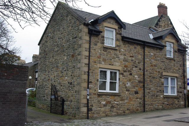
Church of St Bartholomew, Longbenton
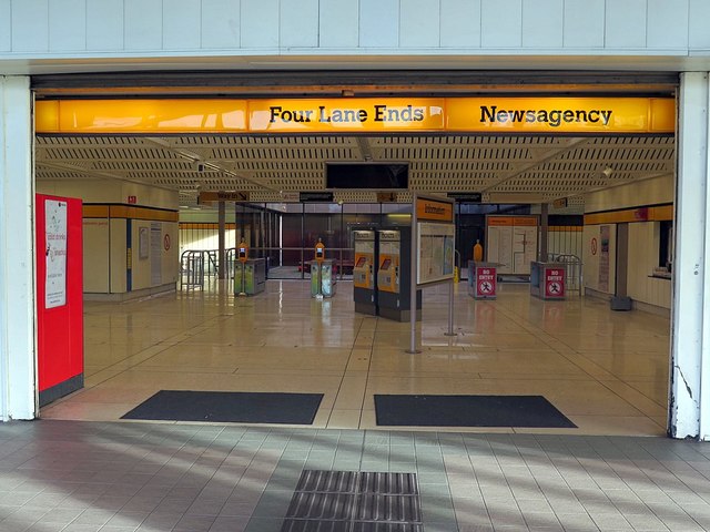
Four Lane Ends Metro Station

Four Lane Ends, Longbenton

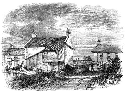
Little Benton Township, 1848

Longbenton at War

Longbenton Conservation Area
Longbenton Metro Station
Longbenton Parish, 1848

Longbenton Parish, 1855

Longbenton, Historical Account, 1890
Map and Aerial View of Longbenton
Rutter's School School House, Longbenton
Schools in Benton & Longbenton