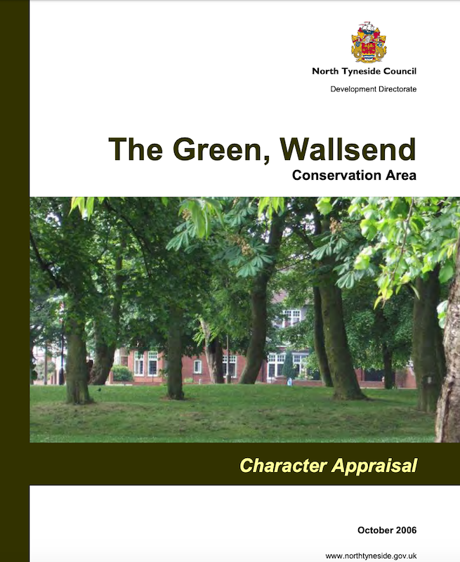
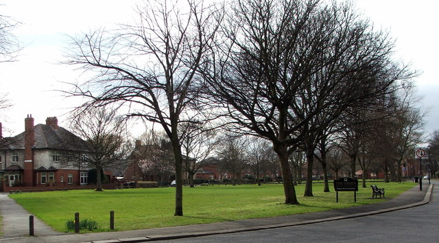
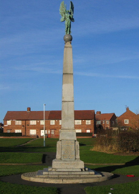
The Green, Wallsend Conservation Area

-
Description
Character Appraisal, 2006, North Tyneside Council. "...The Green Conservation Area was designated in 1974 and the boundary has not changed since designation. The boundary is based on a medieval village green and the development pattern around it (Map 1). It currently excludes other public open spaces to the west, much of which is worthy of conservation area status. Starting in the south-east at the junction of Boyd Road and North View, the boundary runs west along the centre line of North View to Park Road where it turns north following the centre line to the junction with North Road and The Green. Continuing north along the centre line of Kings Road South, it turns east to follow the back line of plots at No.1 Kings Road South (but not No.3) and Queenís Terrace, here ensuring the immediate setting of the Hall Grounds is protected. At the east end of Queenís Terrace, the boundary turns briefly south and then continues east following a line tight against the back wall of the large derelict vinery in the Hall Grounds...." -
Owner
North Tyneside Council -
Source
Local (Co-Curate) -
License
What does this mean? Unknown license check permission to reuse
-
Further information
Link: https://legacy.northtyneside.gov.uk/sites/default/files/web-page-related-files/Wallsend%20Green%20CACA%201.pdf
Resource type: Text/Website
Added by: Simon Cotterill
Last modified: 2 days, 13 hours ago
Viewed: 421 times
Picture Taken: Unknown -
Co-Curate tags


