Topics > Northumberland > Civil Parishes in Northumberland > Kyloe Civil Parish
Kyloe Civil Parish
Area: 40.1 km²
Population:
315 (2021 Census)
338 (2011 Census)
323 (2001 Census)
from https://northumberlandparishe…
Kyloe Parish Council
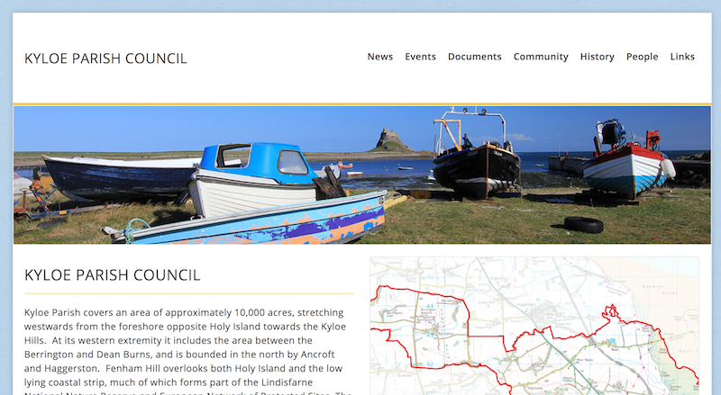
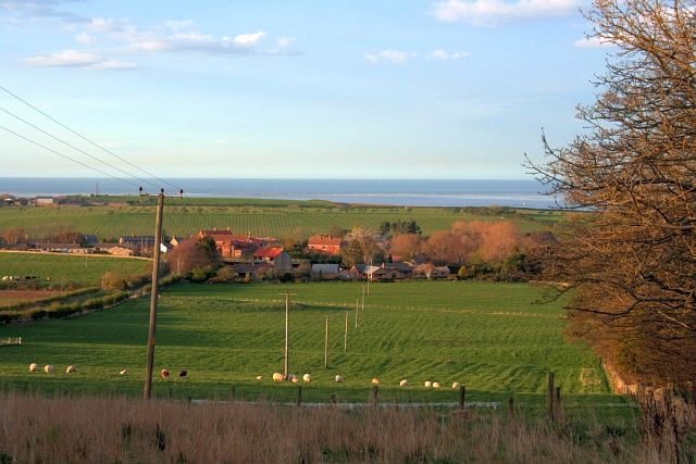
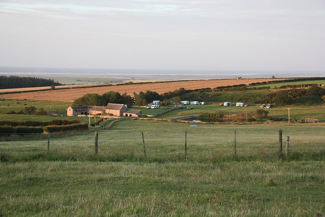
- Website of the Parish Council "Kyloe Parish covers an area of approximately 10,000 acres, stretching westwards from the foreshore opposite Holy Island towards the Kyloe Hills. ...Most of the population …
Added by
Simon Cotterill

from https://keystothepast.info/se…
Local History: Kyloe (Northumberland)
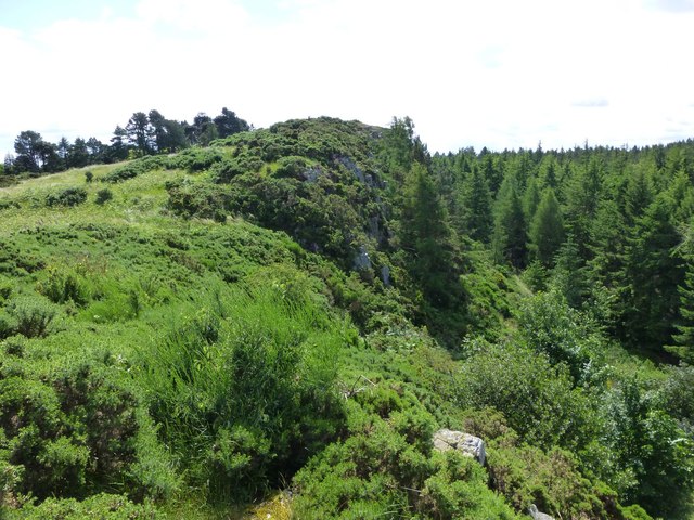
- "Kyloe parish lies on the coast of north Northumberland overlooking Holy Island. It rises from the shore westward to the Kyloe Hills. Here, there are rocky crags where Iron Age …
Added by
Simon Cotterill
Co-Curate Page
Beal
- Overview About Beal Map Street View BEAL, with Lowlin, a township, in the parish of Kyloe, union of Berwick-Upon-Tweed, in Islandshire, N. division of Northumberland; adjoining Berwick, and containing 180 …
Co-Curate Page
Berrington
- Overview Map Street View Berrington is a hamlet in Northumberland, situated near Berrington Burn and located about 6 miles south of Berwick upon Tweed. Berrington was first recorded in 1208; …
Co-Curate Page
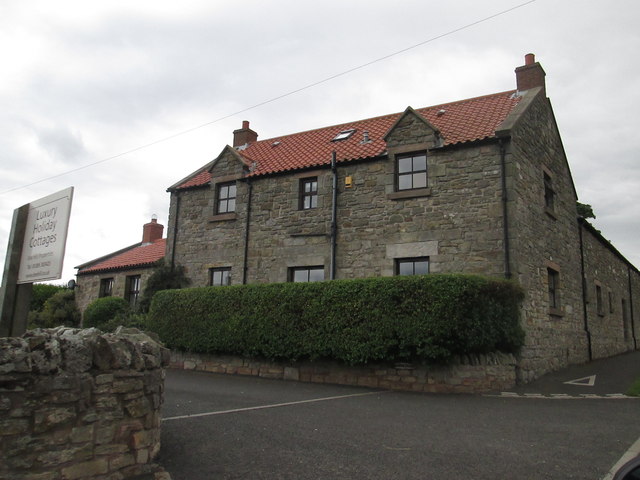
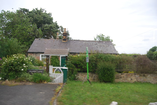
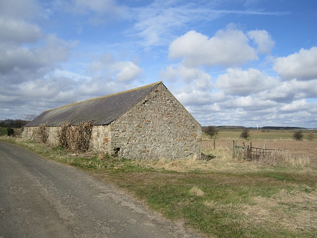
Buckton
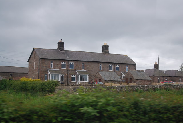
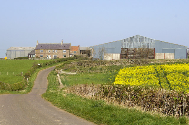
- Overview Map Street View Buckton is a hamlet in Northumberland, within the Civil Parish of Kyloe, and located just over 3 miles north of Belford. It consists of a farm …
Co-Curate Page
Fenwick, Kyloe
- Overview Map Street View Fenwick is a small village in the north of Northumberland, situated just over a mile inland from the coast and Holy Island. The village is located …
Co-Curate Page
Fenham
- Overview Map Street View Fenwick is a village in Northumberland, located about 5 miles north of Belford, and 9 miles south-east of Berwick-upon-Tweed and a mile north-east of Fenwick. There is …
Co-Curate Page
Smeafield
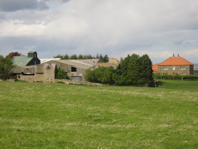
- Overview Map Street View Smeafield is a hamlet located about two and a half miles north-west of Belford in Northumberland. There is a large farm with a few cottages and …
Co-Curate Page
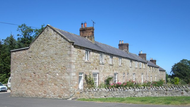
Lowlynn
- Overview Map Street View Lowlynn (aka Low Lynn, Lowlin) is a distributed hamlet in Northumberland, which includes Lowynn Farm, Lowlynn House and Lowlynn Mill. It is located about 8 miles …
Co-Curate Page
Kentstone
- Overview Map Street View Kentstone is a hamlet in Northumberland, located about 6 miles north-west of Belford. It consists of a farm and a row of cottages. It is thought …

from https://northumberlandparishe…
Kyloe Parish Council
- Website of the Parish Council "Kyloe Parish covers an area of approximately 10,000 acres, stretching westwards from the foreshore opposite Holy Island towards the Kyloe Hills. ...Most of the population …
Added by
Simon Cotterill
from https://keystothepast.info/se…
Local History: Kyloe (Northumberland)
- "Kyloe parish lies on the coast of north Northumberland overlooking Holy Island. It rises from the shore westward to the Kyloe Hills. Here, there are rocky crags where Iron Age …
Added by
Simon Cotterill
Co-Curate Page
Beal
- Overview About Beal Map Street View BEAL, with Lowlin, a township, in the parish of Kyloe, union of Berwick-Upon-Tweed, in Islandshire, N. division of Northumberland; adjoining Berwick, and containing 180 …
Co-Curate Page
Berrington
- Overview Map Street View Berrington is a hamlet in Northumberland, situated near Berrington Burn and located about 6 miles south of Berwick upon Tweed. Berrington was first recorded in 1208; …
Co-Curate Page
Buckton
- Overview Map Street View Buckton is a hamlet in Northumberland, within the Civil Parish of Kyloe, and located just over 3 miles north of Belford. It consists of a farm …
Co-Curate Page
Fenwick, Kyloe
- Overview Map Street View Fenwick is a small village in the north of Northumberland, situated just over a mile inland from the coast and Holy Island. The village is located …
Co-Curate Page
Fenham
- Overview Map Street View Fenwick is a village in Northumberland, located about 5 miles north of Belford, and 9 miles south-east of Berwick-upon-Tweed and a mile north-east of Fenwick. There is …
Co-Curate Page
Smeafield
- Overview Map Street View Smeafield is a hamlet located about two and a half miles north-west of Belford in Northumberland. There is a large farm with a few cottages and …
Co-Curate Page
Lowlynn
- Overview Map Street View Lowlynn (aka Low Lynn, Lowlin) is a distributed hamlet in Northumberland, which includes Lowynn Farm, Lowlynn House and Lowlynn Mill. It is located about 8 miles …