Topics > Northumberland > Smeafield
Smeafield
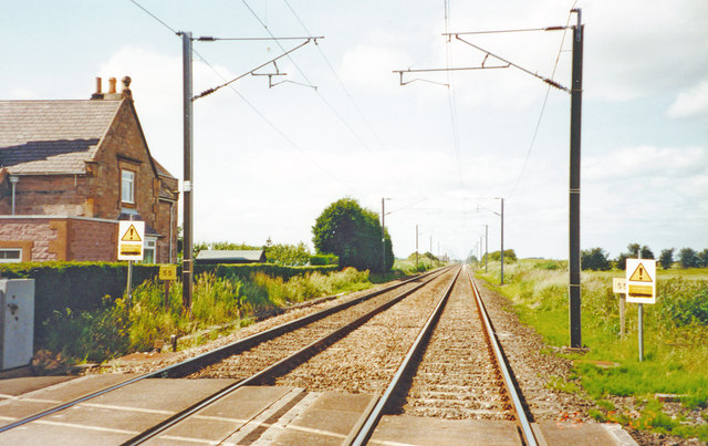
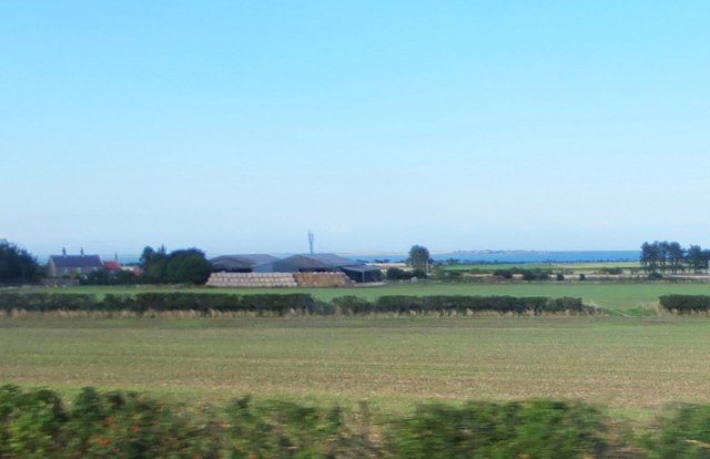
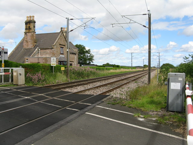
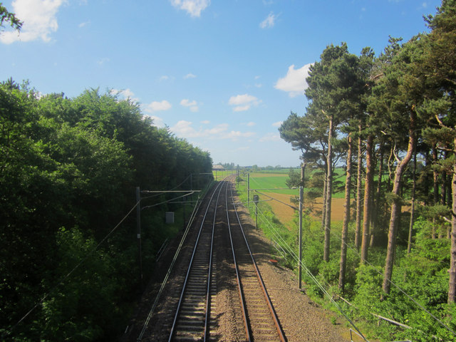
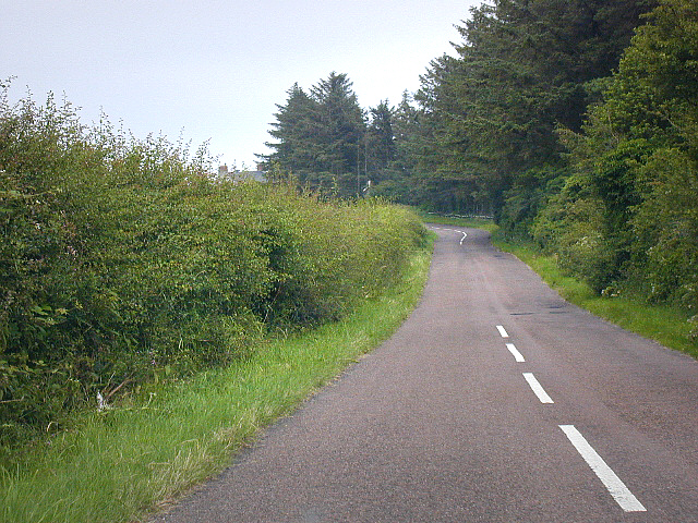
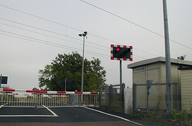
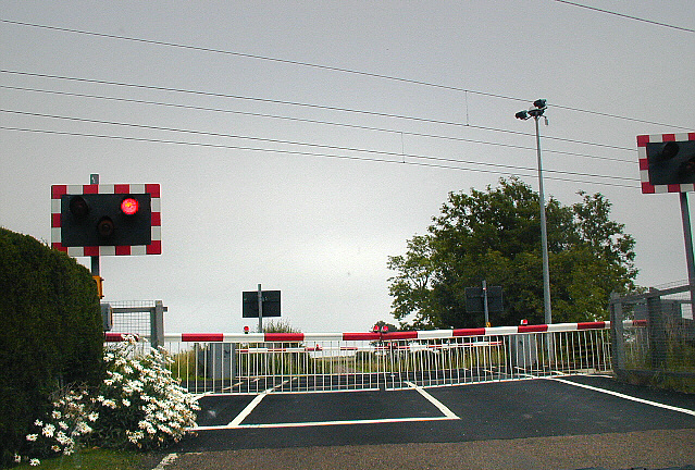
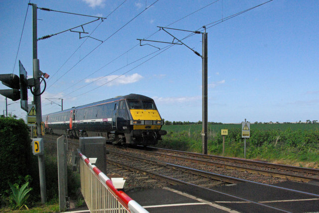
Smeafield is a hamlet located about two and a half miles north-west of Belford in Northumberland. There is a large farm with a few cottages and to the north of the farm are some additional dwellings by the former railway station, where there is a level crossing over the East Coast Mainline. Smeafield Lodge is located nearby, by the A1 road. Buckton Burn and County Burn join, near Smeafield, to form Elwick Burn.
from Geograph (geograph)
Looking north along the East Coast Mainline near Smeafield
Pinned by Simon Cotterill
Co-Curate Page
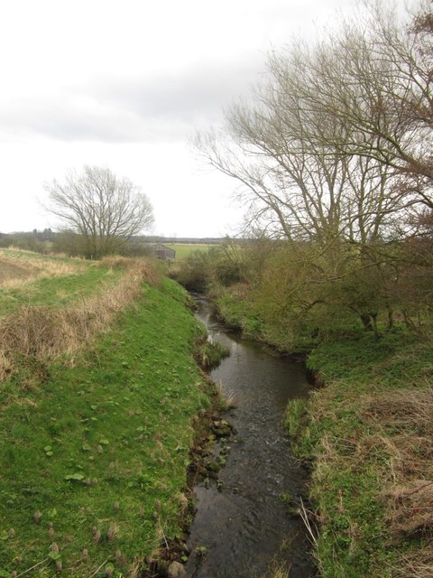
Elwick Burn
- Elwick Burn is a small river in Northumberland, which is a tributary of Ross Low. Elwick Burn is formed at the confluence of Buckton Burn and County Burn, near Smeafield. …

from Geograph (geograph)
Looking north along the East Coast Mainline near Smeafield
Pinned by Simon Cotterill