Topics > Northumberland > Beal
Beal
BEAL, with Lowlin, a township, in the parish of Kyloe, union of Berwick-Upon-Tweed, in Islandshire, N. division of Northumberland; adjoining Berwick, and containing 180 inhabitants.
Extract from: A Topographical Dictionary of England comprising the several counties, cities, boroughs, corporate and market towns, parishes, and townships..... 7th Edition, by Samuel Lewis, London, 1848.
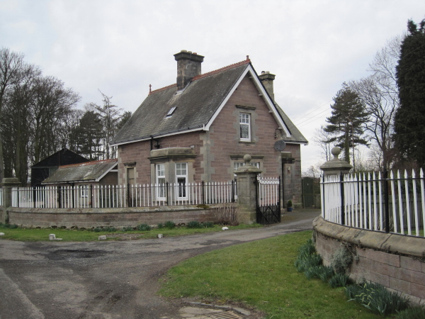
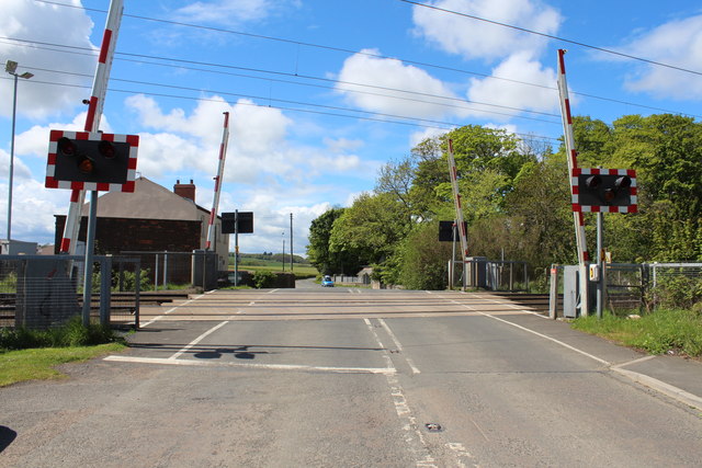
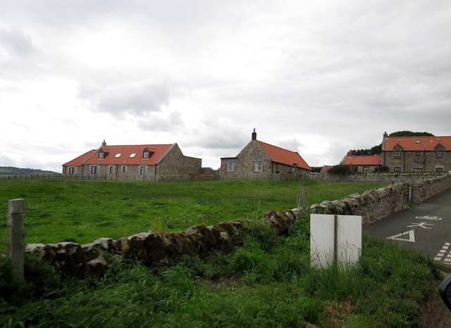
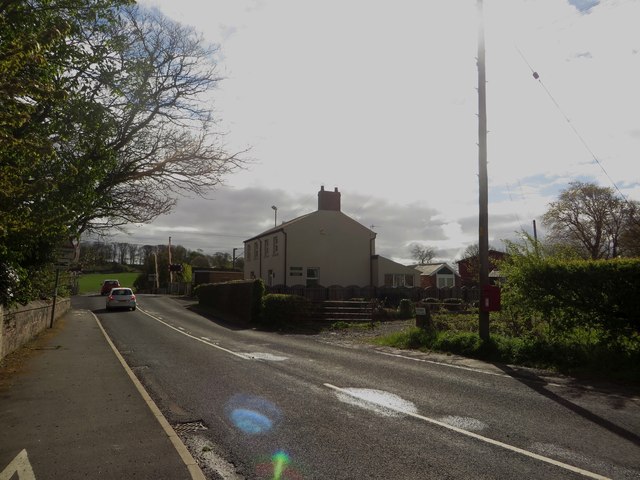
Beal is a village in Northumberland, in England. It is situated a short distance inland from the North Sea coast, and lies on the link road between the A1 and Lindisfarne. The East Coast Main Line runs to the west of the village but the station was closed in the 1960s. The station site has been landscaped and includes a Peckett 0-4-0ST steam locomotive and an ex-North Eastern Railway cast metal warning sign.
History
The place-name Beal is first attested in 1208-10, where it appears as Behil. In 1248 it appears as Behulle. The name derives from the Old English 'beo-hyll', which means 'bee hill'.
Governance
Beal is in the parliamentary constituency of Berwick-upon-Tweed.
Economy
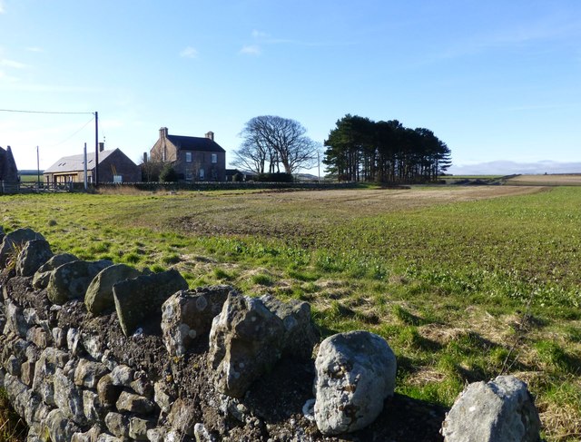
The area is largely agricultural in outlook.
There is a pub at Beal situated on the main road called The Lindisfarne Inn. It re-opened after being refurbished and was renamed having previously been named The Plough.
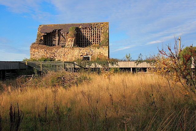
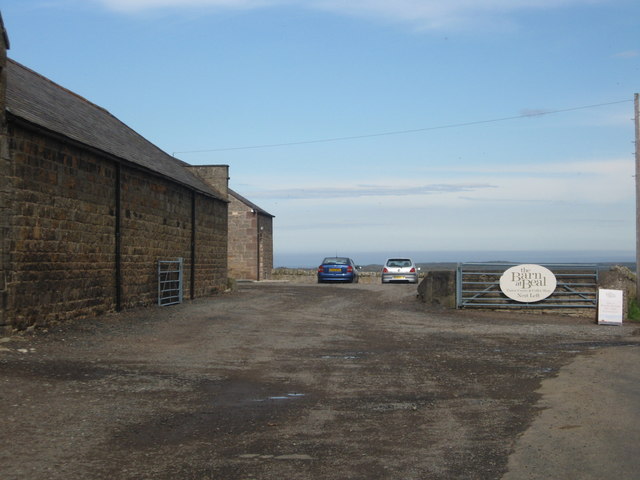
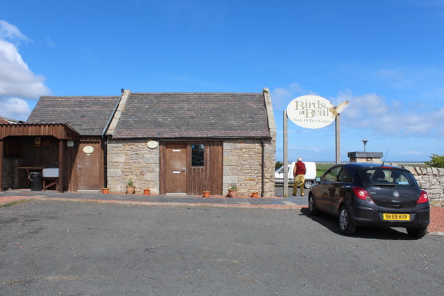
The Barn at Beal is a visitor centre with various wild birds and looks at the link between farming and the local environment.
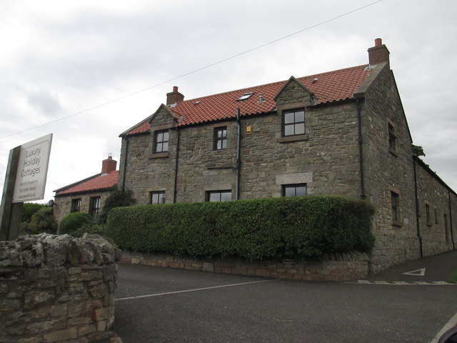
There is a small caravan site located at Brock Mill farmhouse and there are a number of bed-and-breakfast outlets.
Transport
The following bus services operate to Beal (October 2011) - the A1 minbus link from Newcastle operated by Holy Island minibuses and 477 from Berwick upon Tweed by Perrymans Buses.
The South East Northumberland Rail Users Group would like to see the station re-opened for local and tourist (for Lindisfarne) traffic.
Visit the page: Beal, Northumberland for references and further details. You can contribute to this article on Wikipedia.
Co-Curate Page
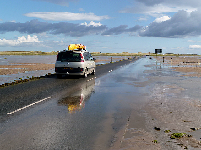
Causeway to Holy Island
- Overview Map Street View Lindisfarne is a tidal island and the long road causeway is flooded twice a day by the sea, when the tide is in. Crossing times are …

Co-Curate Page
Kyloe Chapelry, 1855
- Extract from: History, Topography, and Directory of Northumberland...Whellan, William, & Co, 1855. KYLOE PAROCHIAL CHAPELRY KYLOE parochial chapelry comprises the townships of Beal with Lowlin, Berrington, Buckton, Fenwick, and …

Co-Curate Page
Causeway to Holy Island
- Overview Map Street View Lindisfarne is a tidal island and the long road causeway is flooded twice a day by the sea, when the tide is in. Crossing times are …