Topics > Northumberland > Civil Parishes in Northumberland > Ilderton Civil Parish > Ilderton Parish, 1848
Ilderton Parish, 1848
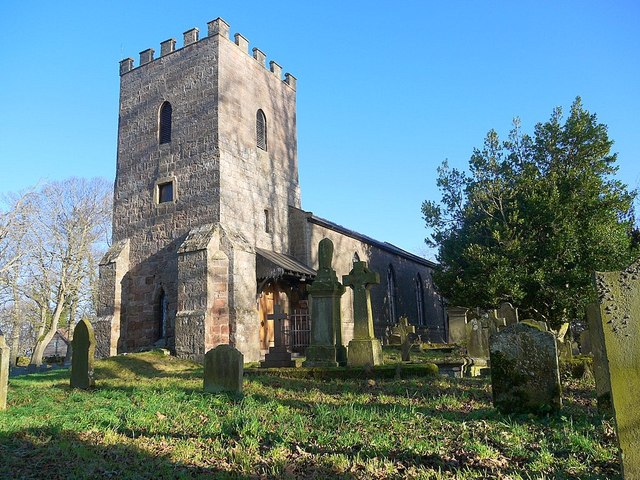
ILDERTON (St. Michael), a parish, in the union of Glendale, N. division of Coquetdale ward and of Northumberland; consisting of the townships of Ilderton, Middleton-Hall, North and South Middleton, Roddam, and Roseden; and containing 585 inhabitants, of whom 121 are in the township of Ilderton, 4½ miles (S.S.E.) from Wooler. The parish is intersected by the Coldgate, Lilburn, Roddam, and several minor streams, and comprises by computation 13,000 acres, of which about 5,000 are in Ilderton township; of the latter, 1,000 acres are arable, 60 wood, and 3,940 moorland. The eastern portion has a light, gravelly, sharp soil, and the western portion is chiefly moss, heather, and bent; the surface is hilly, and in some parts mountainous. The road from Edinburgh to Newcastle passes through, and the river Breamish on the south side. The living is a discharged rectory, valued in the king's books at £4; net income, £96; patron, the Duke of Northumberland: the glebe contains about 50 acres. The church is a modern edifice, situated on an eminence, and consisting of a nave, chancel, and square tower. A parsonage-house was built in 1843. On Roseden-Edge are the remains of a square encampment; and between the village of Ilderton and Hedgehope is a temple of the Druids, consisting of ten large unequal stones, placed in the form of an oval, 38 yards in diameter from east to west, and 33 from north to south.
Extract from: A Topographical Dictionary of England comprising the several counties, cities, boroughs, corporate and market towns, parishes, and townships..... 7th Edition, by Samuel Lewis, London, 1848.
Co-Curate Page
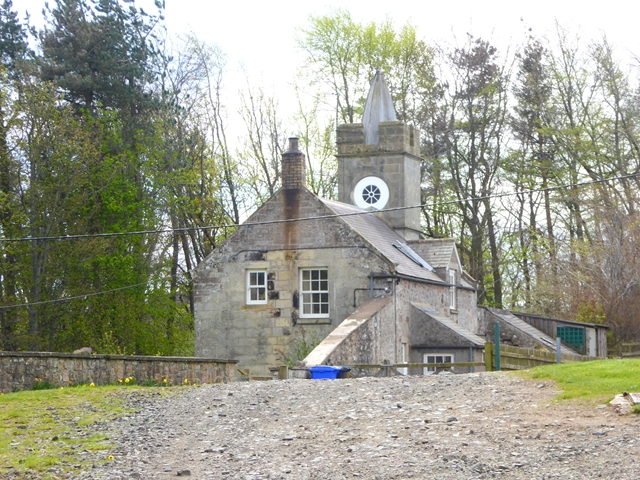
Roddam
- Overview Map Street View RODDAM, a township, in the parish of Ilderton, union of Glendale, N. division of Coquetdale ward and of Northumberland, 5½ miles (S.S.E.) from Wooler; containing 110 …
Co-Curate Page
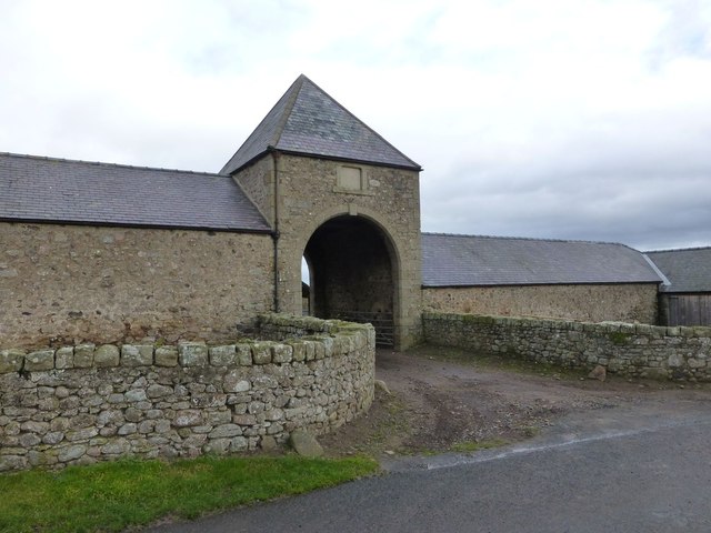
Roseden
- Overview Map Street View Roseden is a hamlet in Northumberland, located about 5 miles south east of Wooler. It consists of a farm and a few cottages. A tree near …
Co-Curate Page
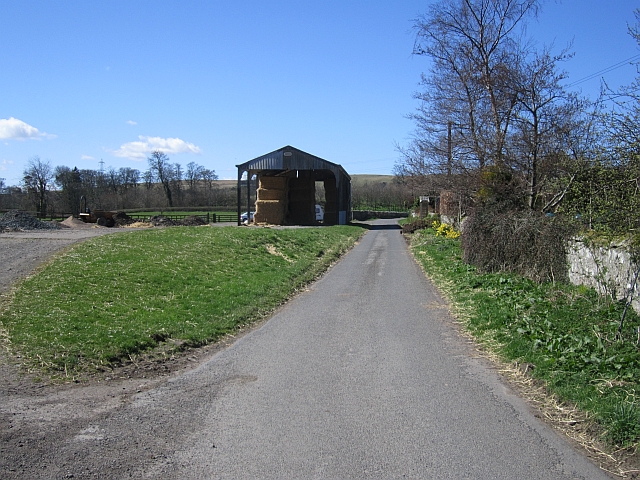
Ilderton
- Overview About Ilderton Map Street View Ilderton is a small village in Northumberland, England. It is located on the edge of the Northumberland National Park, between Lilburn, Northumberland in …
Co-Curate Page
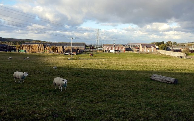
North Middleton (Wooler)
- MIDDLETON, NORTH, a township, in the parish of Ilderton, union of Glendale, N. division of Coquetdale ward and of Northumberland, 2½ miles (S. by E.) from Wooler; containing 129 inhabitants. …
Co-Curate Page
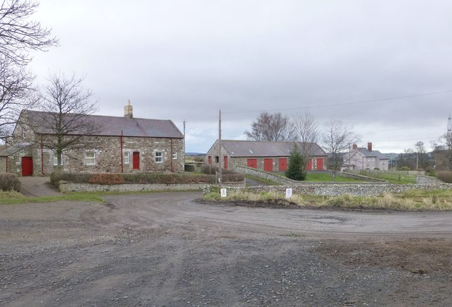
South Middleton (Wooler)
- Overview Map Street View MIDDLETON, SOUTH, a township, in the parish of Ilderton, union of Glendale, N. division of Coquetdale ward and of Northumberland, 2¾ miles (S.) from Wooler; containing …


Co-Curate Page
Roddam
- Overview Map Street View RODDAM, a township, in the parish of Ilderton, union of Glendale, N. division of Coquetdale ward and of Northumberland, 5½ miles (S.S.E.) from Wooler; containing 110 …

Co-Curate Page
Roseden
- Overview Map Street View Roseden is a hamlet in Northumberland, located about 5 miles south east of Wooler. It consists of a farm and a few cottages. A tree near …

Co-Curate Page
Ilderton
- Overview About Ilderton Map Street View Ilderton is a small village in Northumberland, England. It is located on the edge of the Northumberland National Park, between Lilburn, Northumberland in …

Co-Curate Page
North Middleton (Wooler)
- MIDDLETON, NORTH, a township, in the parish of Ilderton, union of Glendale, N. division of Coquetdale ward and of Northumberland, 2½ miles (S. by E.) from Wooler; containing 129 inhabitants. …

