Topics > Civil Parishes in Cumbria > Hesket Civil Parish
Hesket Civil Parish
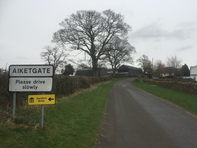
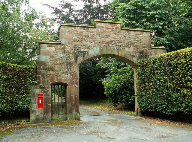
The parish includes the settlements of Aiketgate, Armathwaite, Brackenburgh, Calthwaite, High Hesket, Ivegill (part of), Lockhills, Low Hesket, Monkcastle, Petteril Green, Plumpton, Southwaite, Theifside.
Area: 78.7 km²
Population:
2,798 (2021 Census)
2,588 (2011 Census)
2,363 (2001 Census)

from https://www.cumbriacountyhist…
Hesket in the Forest Parish
- "Ancient parish (thought to have been chapelry in Carlisle St Mary parish until 14th century) in Leath ward, Cumberland, embracing townships of High and Low Hesket (which also included village …
Added by
Edmund Anon
Co-Curate Page
Plumpton, Cumbria
- Overview About Plumpton Map Street View PLUMPTON-WALL, a township and chapelry, in the parish of Lazonby, union of Penrith, Leath ward, E. division of Cumberland, 4 miles (N. by W.) …
Co-Curate Page
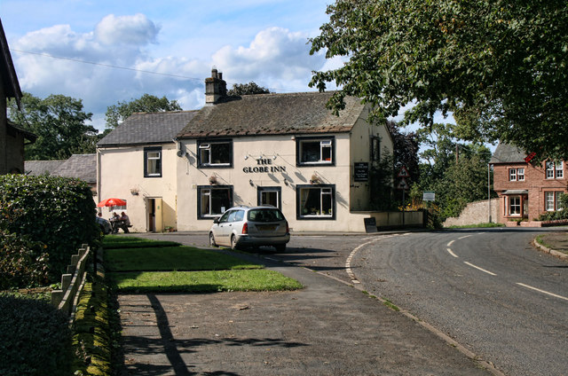
Armathwaite
- Overview About Armathwaite Map Street View Armathwaite is a village in the English ceremonial county of Cumbria. Historically within the county of Cumberland, Armathwaite lies on the River Eden, …
Co-Curate Page
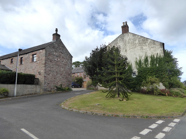
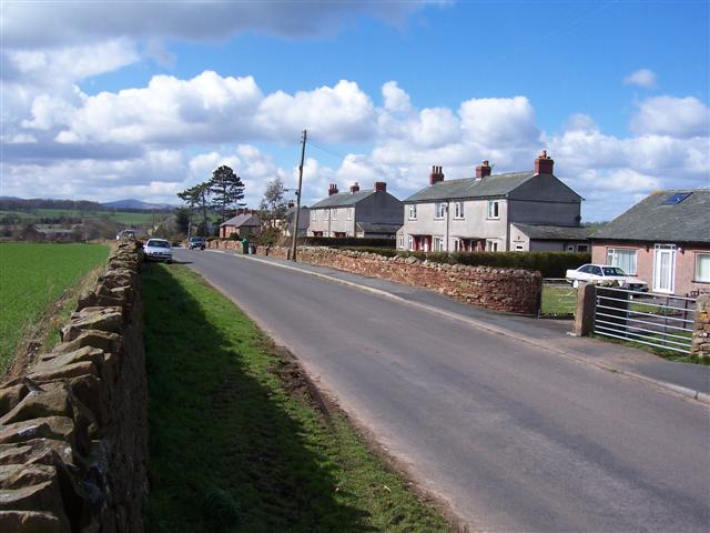
Calthwaite
- Overview About Calthwaite Map Street View CALTHWAITE, a township, in the parish of Hesket-in-the-Forest, union of Penrith, Leath ward, E. division of Cumberland, 7 miles (N. N.W.) from Penrith; containing …
Co-Curate Page
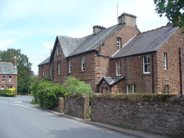
Ivegill
- Overview About Ivegill Map Street View HIGHEAD, or Ivegill, a chapelry, in the parish of Dalston, union of Carlisle, ward, and E. division of the county, of Cumberland, 4 miles …
Co-Curate Page
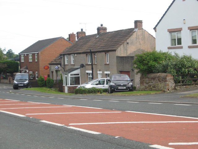
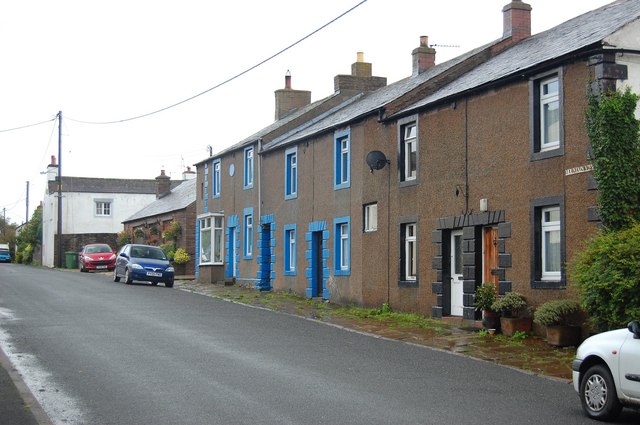
High Hesket
- Overview Map Street View High Hesket is a village in the Eden district of Cumbria, located about 8 miles south-east of Carlisle and 9 miles north of Penrith. Amenities in …

from https://www.cumbriacountyhist…
Hesket in the Forest Parish
- "Ancient parish (thought to have been chapelry in Carlisle St Mary parish until 14th century) in Leath ward, Cumberland, embracing townships of High and Low Hesket (which also included village …
Added by
Edmund Anon
Co-Curate Page
Plumpton, Cumbria
- Overview About Plumpton Map Street View PLUMPTON-WALL, a township and chapelry, in the parish of Lazonby, union of Penrith, Leath ward, E. division of Cumberland, 4 miles (N. by W.) …
Co-Curate Page
Armathwaite
- Overview About Armathwaite Map Street View Armathwaite is a village in the English ceremonial county of Cumbria. Historically within the county of Cumberland, Armathwaite lies on the River Eden, …
Co-Curate Page
Calthwaite
- Overview About Calthwaite Map Street View CALTHWAITE, a township, in the parish of Hesket-in-the-Forest, union of Penrith, Leath ward, E. division of Cumberland, 7 miles (N. N.W.) from Penrith; containing …
Co-Curate Page
Ivegill
- Overview About Ivegill Map Street View HIGHEAD, or Ivegill, a chapelry, in the parish of Dalston, union of Carlisle, ward, and E. division of the county, of Cumberland, 4 miles …


