Topics > Northumberland > Civil Parishes in Northumberland > Hedgeley Civil Parish
Hedgeley Civil Parish
Hedgeley Civil Parish is located west of Alnwick in Northumberland. The parish had a population of 636 at the time of the 2011 Census. The parish includes the settlements of Beanley, (West) Bolton, Hedgeley, Powburn, Shawdon, Titlington, East Bolton and Bolton Mill.
Area: 36.6 km²
Population:
326 (2021 Census)
363 (2011 Census)
322 (2001 Census)
from https://www.breamishvalley.co…
Hedgeley Parish Council
- Hedgeley Parish Council on the Breamish Valley Website.
Added by
Simon Cotterill
Co-Curate Page
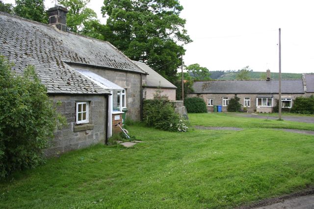
Hedgeley Station
- Overview Map Street View Hedgeley (aka Hedgeley Station) is a hamlet in Northumberland, located to the north-west of Powburn, on the A697 Road. The former Railway Station here, on the …
Co-Curate Page
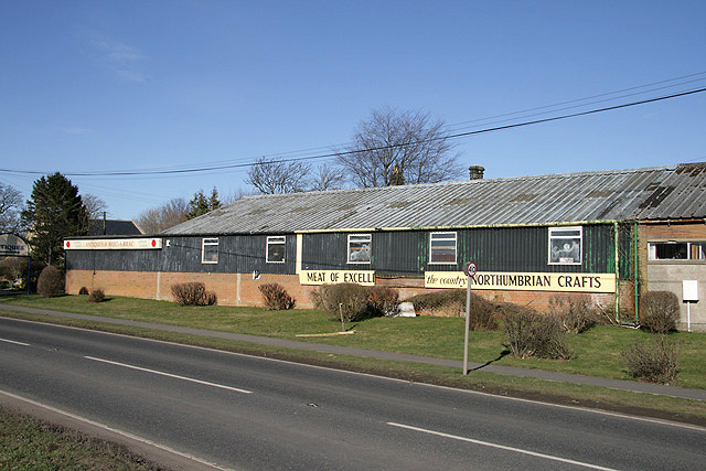
Powburn
- Overview About Powburn Map Street View Powburn is a small village on the A697 in Northumberland, England about south of Wooler and northwest of Alnwick. Landmarks The Devil's Causeway …
Co-Curate Page
Shawdon
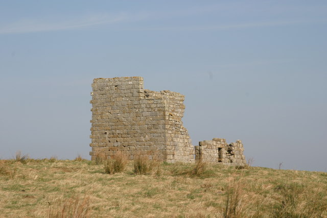
- SHAWDON, a township, in the parish of Whittingham, union of Alnwick, N. division of Coquetdale ward and of Northumberland, 7½ miles (W.) from Alnwick; containing 94 inhabitants. The township is …
Co-Curate Page
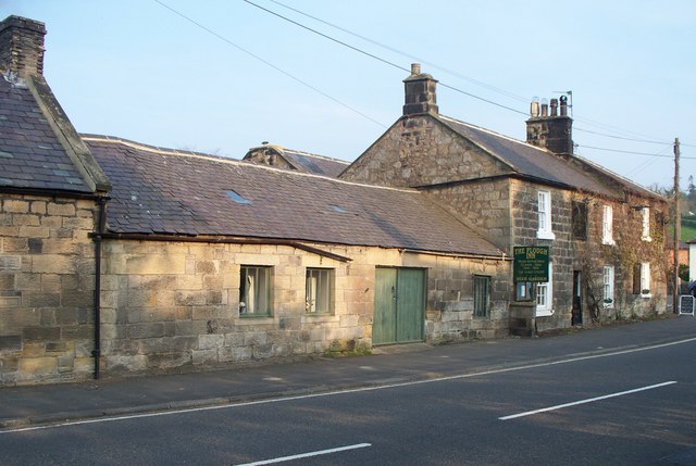
Bolton
- Overview About Bolton Map Street View Bolton (aka West Bolton) is a village in Northumberland, located about 5 miles west of Alnwick. It is situated by Shawdon Burn/Wine Burn, close …
Co-Curate Page
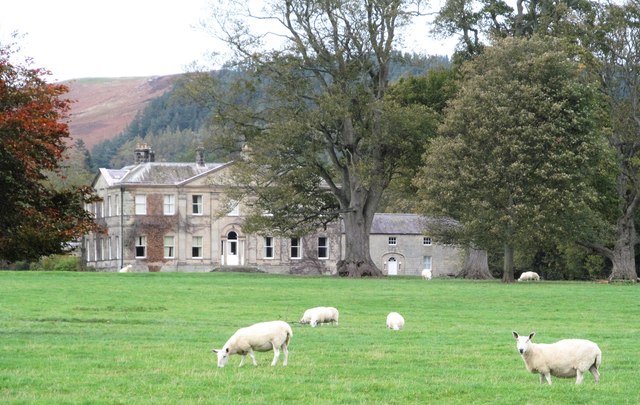
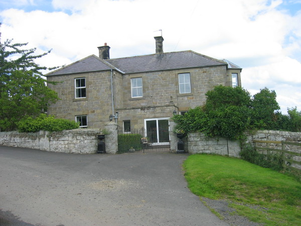
Titlington
- Overview Map Street View Titlington is a hamlet Northumberland, located about 6 miles north-west of Alnwick and 2 miles south-eat of the village of Powburn. Titlington Hall here is built …
Co-Curate Page
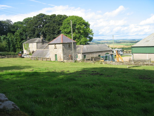
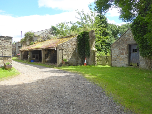
Titlington Mount
- Overview Map Titlington Mount is a hamlet in Northumberland located just over half a mile north of Titlington, and about 6 miles north-west of Alnwick. There is a farm and …
Co-Curate Page
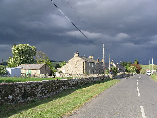
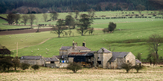
East Bolton, Northumberland
- Overview Map Street View East Bolton is a hamlet / farm in Northumberland, located about 4 miles north-west of Alnwick and just over 2 miles north-east of West Bolton. It …
Co-Curate Page
Bolton Mill, Northumberland
- Overview Map Street View Bolton Mill Farm in Northumberland is located by a bend in the River Aln, and is located about 4 miles west of Alnwick and just under …

from https://www.breamishvalley.co…
Hedgeley Parish Council
- Hedgeley Parish Council on the Breamish Valley Website.
Added by
Simon Cotterill
Co-Curate Page
Hedgeley Station
- Overview Map Street View Hedgeley (aka Hedgeley Station) is a hamlet in Northumberland, located to the north-west of Powburn, on the A697 Road. The former Railway Station here, on the …
Co-Curate Page
Powburn
- Overview About Powburn Map Street View Powburn is a small village on the A697 in Northumberland, England about south of Wooler and northwest of Alnwick. Landmarks The Devil's Causeway …
Co-Curate Page
Shawdon
- SHAWDON, a township, in the parish of Whittingham, union of Alnwick, N. division of Coquetdale ward and of Northumberland, 7½ miles (W.) from Alnwick; containing 94 inhabitants. The township is …
Co-Curate Page
Bolton
- Overview About Bolton Map Street View Bolton (aka West Bolton) is a village in Northumberland, located about 5 miles west of Alnwick. It is situated by Shawdon Burn/Wine Burn, close …
Co-Curate Page
Titlington
- Overview Map Street View Titlington is a hamlet Northumberland, located about 6 miles north-west of Alnwick and 2 miles south-eat of the village of Powburn. Titlington Hall here is built …
Co-Curate Page
Titlington Mount
- Overview Map Titlington Mount is a hamlet in Northumberland located just over half a mile north of Titlington, and about 6 miles north-west of Alnwick. There is a farm and …
Co-Curate Page
East Bolton, Northumberland
- Overview Map Street View East Bolton is a hamlet / farm in Northumberland, located about 4 miles north-west of Alnwick and just over 2 miles north-east of West Bolton. It …