Topics > Cumbria > Rivers in Cumbria > River Duddon
River Duddon
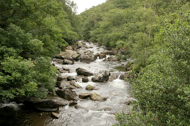
The Duddon is a river of north-west England. It rises at a point above sea level near the Three Shire Stone at the highest point of Wrynose Pass. The river descends to the sea over a course of about 15 miles (24 km) before entering the Irish Sea at the Duddon Sands. In total, from source to the westernmost part of Duddon Sands, its length is 43 kilometres (27 mi). For its entire length the Duddon forms the boundary between the historic counties of Lancashire and Cumberland. Since local government re-organisation in 1974 the Duddon has been in the county of Cumbria.
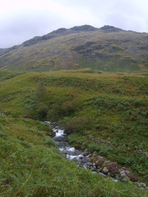
The catchment area of the River Duddon includes a substantial part of the south-western Lake District fells, including the eastern slopes of Corney Fell, Ulpha Fell and Harter Fell; the southern slopes of the mountains around the head of Langdale, and the western slopes of Dunnerdale and Seathwaite Fells.
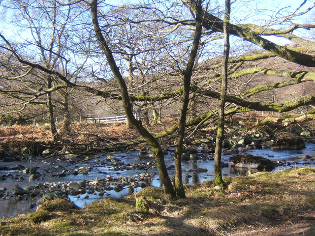
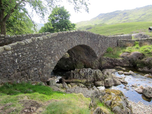
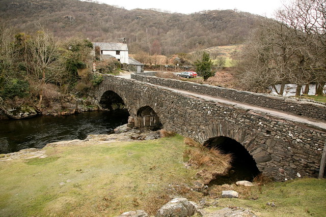
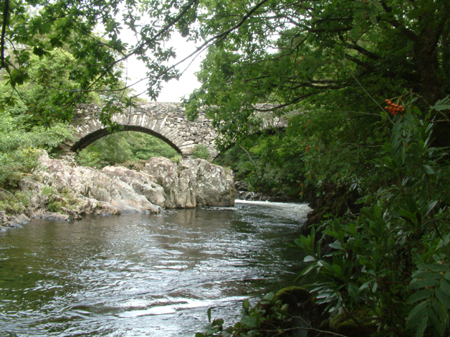
From its source the Duddon falls rapidly over a distance of two miles (3.2 km) to Cockley Beck at the head of Dunnerdale. Close to the hamlet of Seathwaite the Tarn Beck from Seathwaite Tarn is subsumed. The river then takes a south-westerly direction to Ulpha Bridge. Passing under the Duddon Valley road, the river assumes a southerly course to Duddon Bridge where it is crossed by the A595 trunk road. After about a mile (1.6 km) the Duddon becomes tidal as it opens into the Duddon Estuary between Furness and south-west Cumberland.
The poet William Wordsworth wrote extensively of the Duddon, a river he knew and loved from his early years. He wrote his lyric sequence "The River Duddon, A Series of Sonnets" between 1804 and 1820. This sequence first appeared in The River Duddon, A Series of Sonnets: Vaudracour and Julia: And Other Poems. To which is annexed a Topographical Description of the Country of the Lakes in the North of England in April 1820, and later in Wordsworth's Miscellaneous Poems in July 1820. (Although it was first published as a series of 33 sonnets, the Duddon series was expanded to 34 sonnets in the Poetical Works of 1827.)
Sonnet I.
NOT envying shades which haply yet may throw
A grateful coolness round that rocky spring,
Bandusia, once responsive to the string
Of the Horatian lyre with babbling flow;
Careless of flowers that in perennial blow
Round the moist marge of Persian fountains cling;
Heedless of Alpine torrents thundering
Through icy portals radiant as heaven’s bow;
I seek the birth-place of a native Stream.—
All hail, ye mountains! hail, thou morning light!
Better to breathe at large on this aëry height
Than toil in needless sleep from dream to dream;
Pure flow the verse, pure, vigorous, free, and bright,
For Duddon, long-loved Duddon, is my theme!
More recently, the River Duddon and the Duddon Estuary have figured prominently in the work of the Cumbrian poet Norman Nicholson.
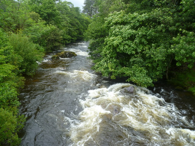
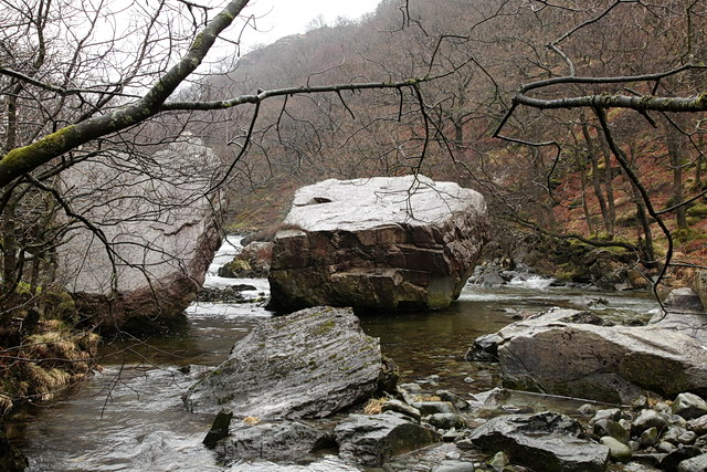
The River Duddon is a salmon fishery. The section of the river downstream from Seathwaite is popular with canoeists and is graded as 3 with some easy 4. From Birks Bridge, through Troutal Gorge to Seathwaite there are some difficult canoeing sections graded at 5 requiring higher water levels to navigate.
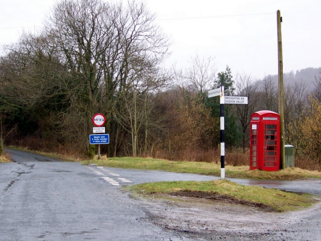
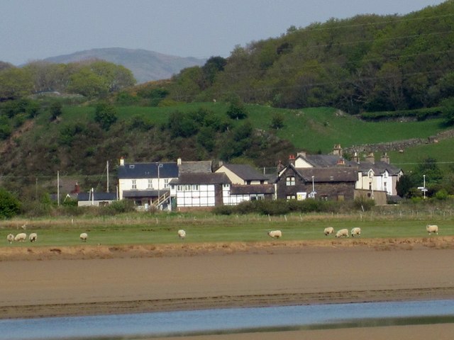
Many parts of the Duddon Valley are visited by tourists, but the location is outside the main tourist area of the Lake District. Consequently, most of the visitors are day trippers who live locally, or who travel from elsewhere in northern England.
Visit the page: River Duddon for references and further details. You can contribute to this article on Wikipedia.

Co-Curate Page
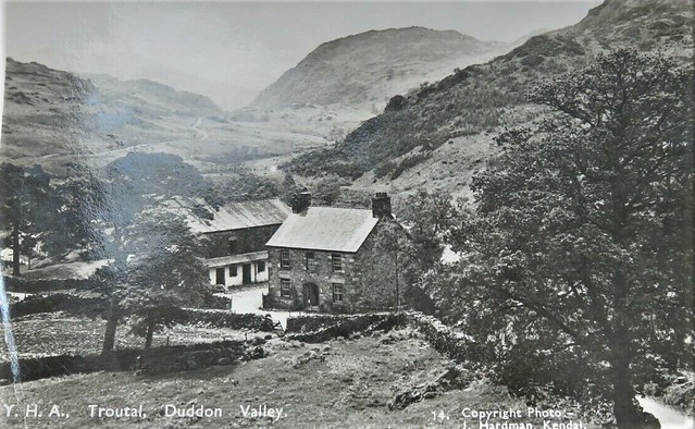
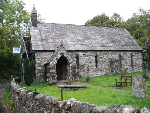
Seathwaite, South Lakeland
- Overview Map Street View Seathwaite is a hamlet in the South Lakeland district of Cumbria, located about 5 miles north-east of Broughton-in-Furness. It is located by Tarn Beck (river), close …
Co-Curate Page
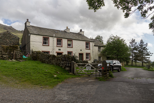
Hall Dunnerdale
- Overview Map Street View Hall Dunnerdale is a hamlet in the South Lakeland district of Cumbria. It is situated by the River Duddon in the Dunnerdale Valley, and located about …
Co-Curate Page
Foxfield, Cumbria
- Foxfield is a village in Cumbria, located about 3 miles north of Broughton-in-Furness and situated by the estuary of the River Duddon. The village forms part of Broughton West Civil …

Co-Curate Page
Seathwaite, South Lakeland
- Overview Map Street View Seathwaite is a hamlet in the South Lakeland district of Cumbria, located about 5 miles north-east of Broughton-in-Furness. It is located by Tarn Beck (river), close …
Co-Curate Page
Hall Dunnerdale
- Overview Map Street View Hall Dunnerdale is a hamlet in the South Lakeland district of Cumbria. It is situated by the River Duddon in the Dunnerdale Valley, and located about …