Topics > Tyne and Wear > Newcastle upon Tyne > Gosforth
Gosforth
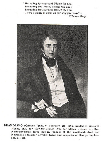
The origin of the area's name is thought to have come from the title Gese Ford, meaning "the ford over the Ouse", referring to a crossing over the local River Ouse or Ouseburn, but others think that it comes from the Old English Gosaford, meaning "a ford where the geese dwell", and it is first recorded as Goseford in 1166. Richard Welford notes that the names of North and South Gosforth come from the north and south of the River Ouse. Gosforth is first mentioned in 1166, and thus some think the settlement developed at this time and South Gosforth dates back past 1319, when it has been noted that the English Army retreated there from a siege on Berwick. According to the 19th century publication, A Topographical Dictionary of England, the township of Gosforth was held of the crown by the Surtees family from 1100 to 1509, when it passed by marriage to Robert Brandling.
Parishes and urban districts
In 1777, Gosforth contained 7 townships of North Gosforth, South Gosforth, Coxlodge, Kenton, Fawdon, East Brunton and West Brunton. By order of the Local Government Board on 20 September 1872, the parishes of South Gosforth and Coxlodge were constituted into a district, governed by the South Gosforth Local Board. After the 1894 Local Government Act, it became the South Gosforth Urban District Council. A year later, by a Northumberland County Council order dated 14 March 1895, the title was changed again to Gosforth Urban District Council.
On 15 July 1903, the District Council applied for an order from Northumberland County Council, to extend its boundaries to include the parishes of North Gosforth, East Brunton, West Brunton, Fawdon and the greater part of Kenton. On 9 September 1903, an inquiry was held into the Gosforth Scheme, but the proposal was refused. The parishes of Coxlodge and South Gosforth were amalgamated into the parish of Gosforth in 1908. Gosforth then extended its boundaries after the County of Northumberland Review Order 1935, to include part of Castle Ward Rural District. This comprised parts of East Brunton, Fawdon and North Gosforth civil parishes. The Gosforth Urban District Council was finally abolished on 1 April 1974 to become part of the City of Newcastle Metropolitan Borough Council.
Mining
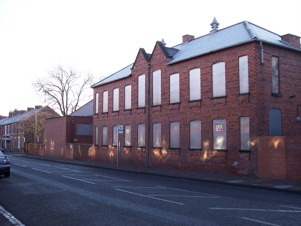
In the 19th century, Gosforth was the location of a number of collieries, including Gosforth and Coxlodge Collieries. Gosforth Colliery was located in South Gosforth, while Coxlodge Colliery was west of the Great North Road. Coxlodge Colliery comprised three pits; the Bower Pit, the Regent or Engine Pit, where the Regent Centre now stands, and the Jubilee or North Pit further west on Jubilee Road.
Bulman Village
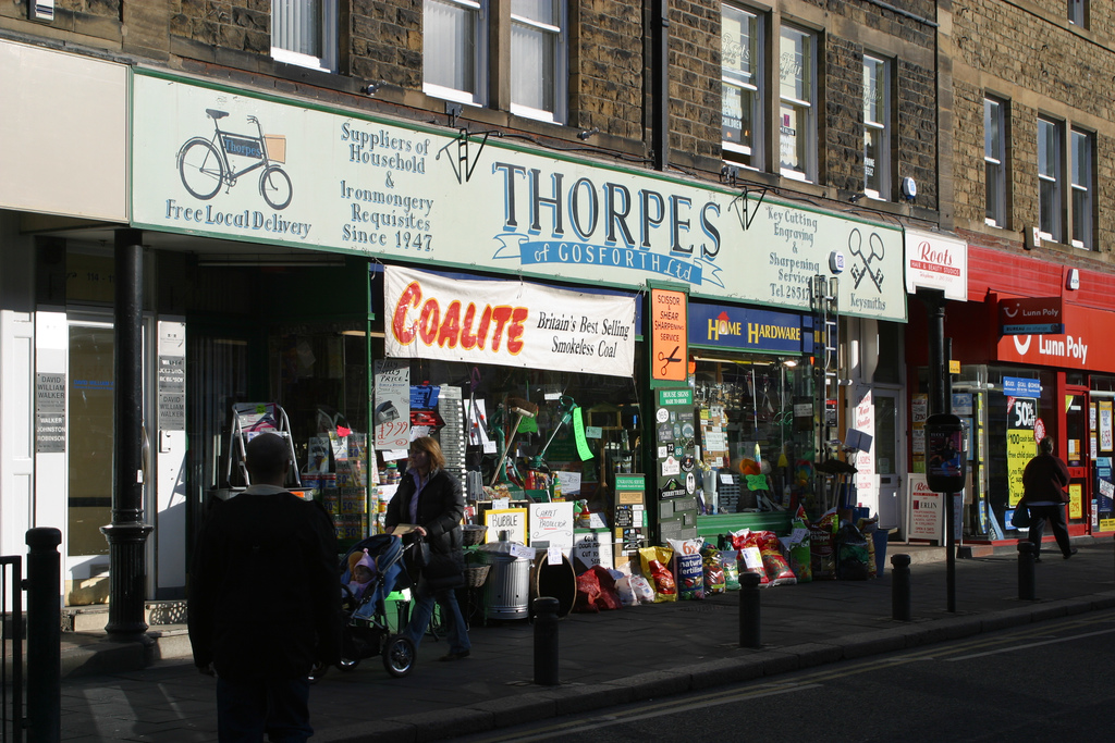
The modern-day centre of Gosforth, straddling the Great North Road (here called Gosforth High Street), originated in 1826 as a settlement known for several decades as Bulman Village. It originally consisted of a number of properties large enough to qualify occupiers for the franchise (so-called 'forty shilling freeholders' (£2)), built by the Bulman family in an attempt to provide voters for their cause in the 1826 elections. A stone bearing the name 'Bulman Village' survives and was incorporated in the façade of a later building, the Halifax Bank building north of the Brandling Arms public house.
The Blacksmith's Arms public house on Gosforth High Street stands on the site of the original blacksmith's forge.
Population
At the 2001 census there were 23,620 people living in Gosforth. In the 19th century Gosforth's population was largely deemed by the coal trade. In 1801 there were 1,385 inhabitants, most of whom lived in Kenton, and were employed in the colliery there. In 1831 the population had risen to 3,546, partly due to the opening of the Fawdon and Coxlodge collieries. Between 1831 and 1871 the population only grew by a very small amount to 3,723, due to the pits at Fawdon and Kenton having ceased to function.
Archaeological finds
There have been a number of archaeological finds in Gosforth, with the earliest piece being a prehistoric flint flake that was found in 1959. In 1863 a 2nd-century Greek Colonial coin was found in a garden in Bulman Village. A Roman altar was found in North Gosforth.
from Newcastle libraries (flickr)
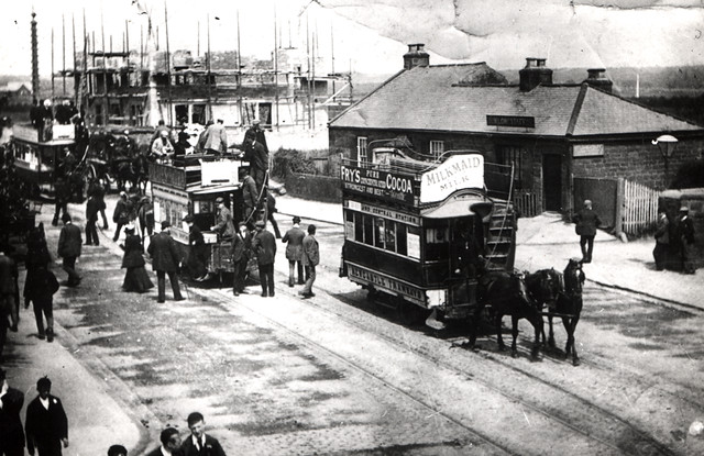
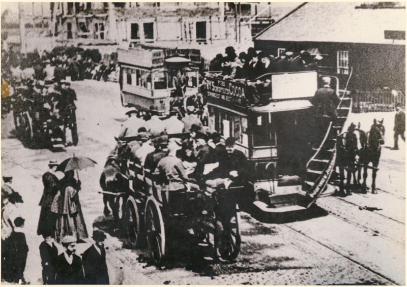
058662:Trams Gosforth High Street Gosforth Unknown c.1895
Pinned by Co-Curate Team
from Newcastle libraries (flickr)
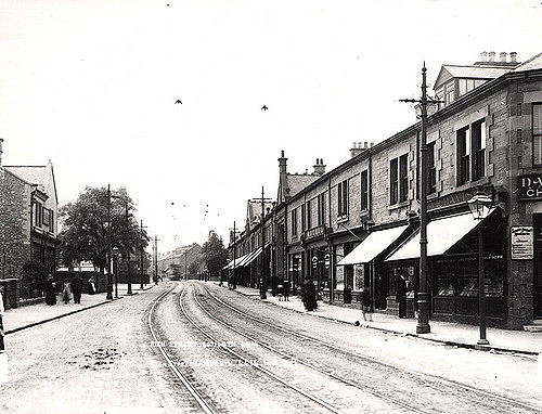
024992:High Street Gosforth Unknown c.1905
Pinned by Co-Curate Team
from Newcastle libraries (flickr)
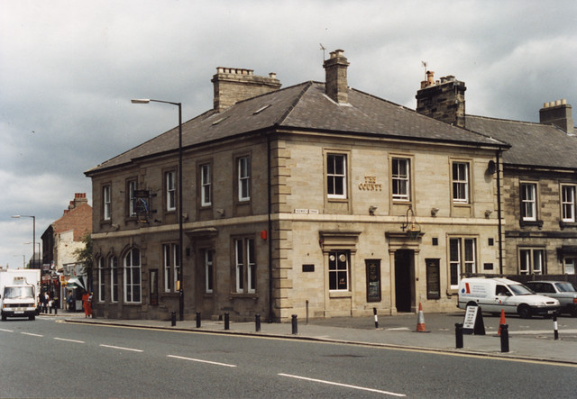
062873:The County Gosforth High Street Unknown 1995
Pinned by Co-Curate Team
from Newcastle libraries (flickr)
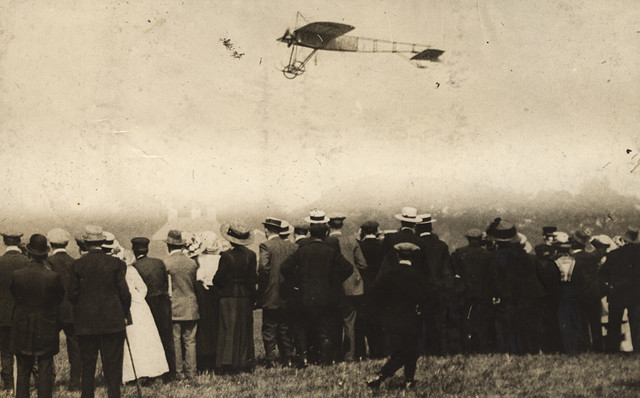
054595: Flying Competition at Gosforth Park, Newcastle upon Tyne, Halliday Fred 1911
Pinned by Co-Curate Team
from Newcastle libraries (flickr)
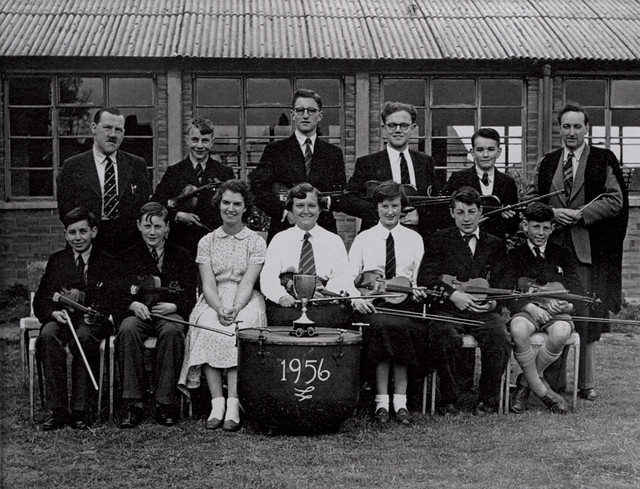
062266:Gosforth Grammar School, Gosforth, 1956
Pinned by Co-Curate Team
from Newcastle University (youtube)
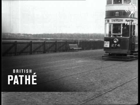
Newcastle's New Extension Of Tramways AKA Newcastle's New Extension Of Trams (1924)
Pinned by Simon Cotterill
from Youtube (youtube)
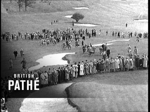
Professional Golf Tournament At Newcastle Lner (1938)
Pinned by Simon Cotterill
Co-Curate Page
St. Nicholas Hospital
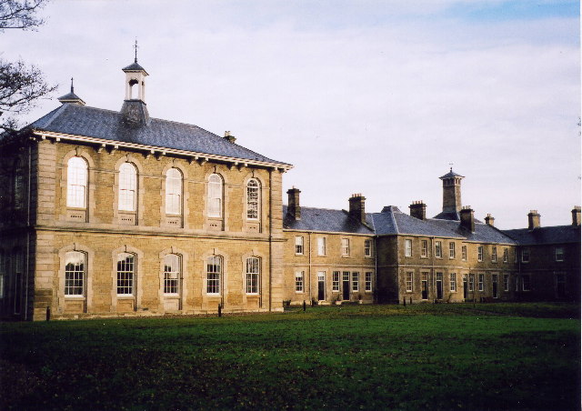
- St. Nicholas Hospital is located on Jubilee Road in the Coxlodge area of Gosforth. This psychiatric hospital was built 1865-1869, designed by WL Moffatt of Edinburgh for the County Borough of …

from Newcastle libraries (flickr)
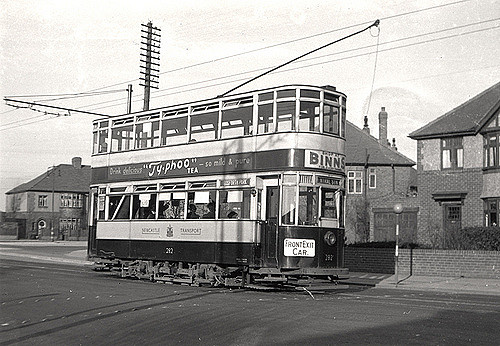
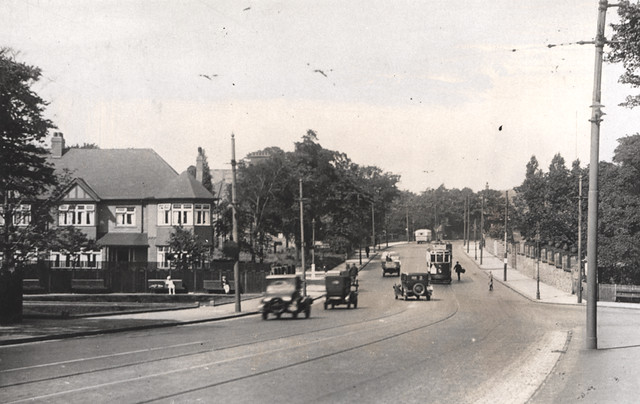
049204:Tram, Great North Road, Gosforth, 1948
Pinned by Simon Cotterill
Co-Curate Page
North Gosforth
- Overview Map Street View North Gosforth is a suburb and civil parish in the City of Newcastle upon Tyne, which includes Brunton Park, Melton Park, East Brunton and North Brunton. …
from Newcastle libraries (flickr)
016448:South Gosforth Newcastle upon Tyne unknown 1967
Pinned by Simon Cotterill
from Geograph (geograph)
Little Dene, or Blackies Valley, Newcastle upon Tyne, being filled in about 1962
Pinned by Simon Cotterill
from Newcastle libraries (flickr)
001956:Charles John Brandling Unknown Undated
Pinned by Simon Cotterill
from Newcastle libraries (flickr)
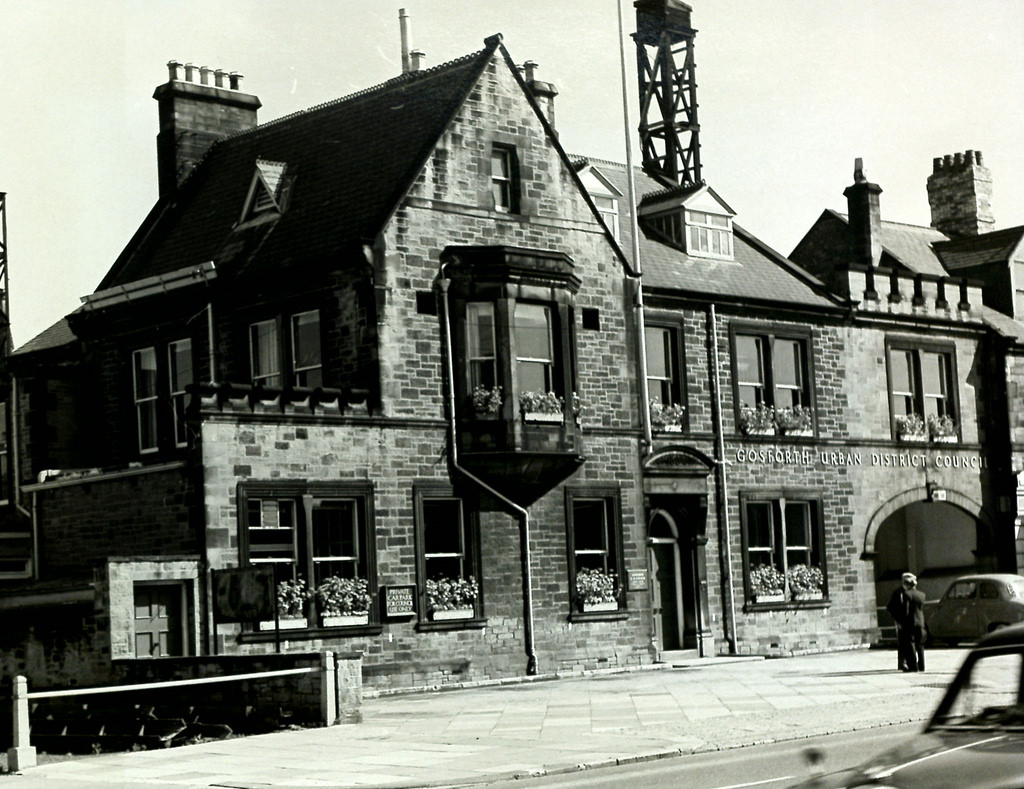
Gosforth Council Offices, Gosforth, Sept 1965
Pinned by Simon Cotterill
from Newcastle libraries (flickr)
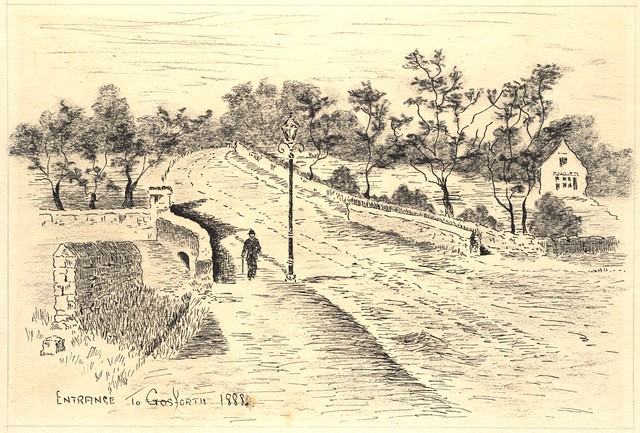
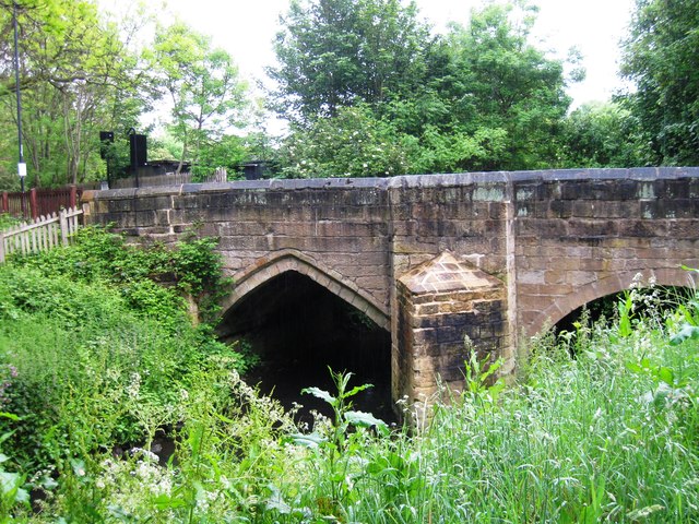
053379:Little Bridge Gosforth Unknown 1888
Pinned by Simon Cotterill
from Newcastle libraries (flickr)
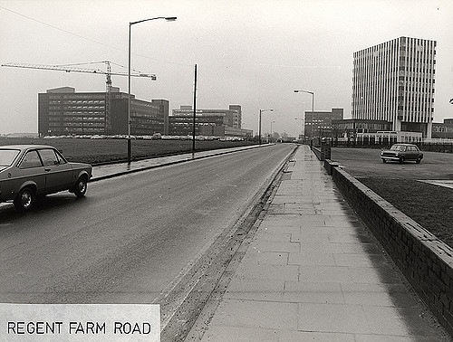
045221:Regent Farm Road Gosforth City Engineers 1977
Pinned by Simon Cotterill
from Newcastle libraries (flickr)
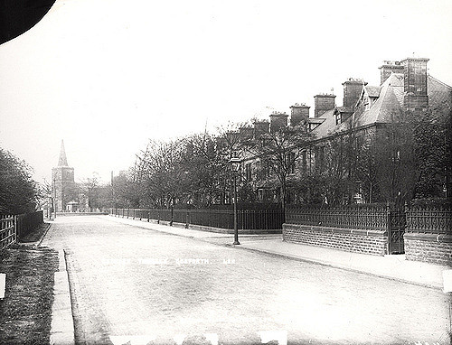
024969:Rectory Terrace Gosforth Unknown c.1900
Pinned by Simon Cotterill
from Newcastle libraries (flickr)
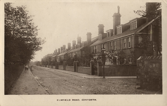
062406:Elmfield Road Gosforth unknown c1910
Pinned by Simon Cotterill
from Newcastle libraries (flickr)
022461:Police Station Hawthorn Road Gosforth Unknown 1972
Pinned by Simon Cotterill
from Newcastle libraries (flickr)
063177:Little Bridge Gosforth Unknown c.1920
Pinned by Simon Cotterill
from Newcastle libraries (flickr)
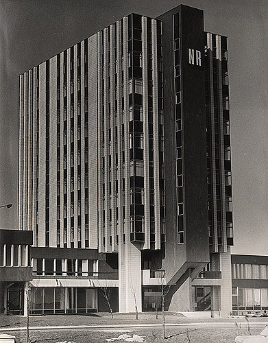
018902:Northern Rock Building Regent Centre Gosforth Unknown 1969
Pinned by Simon Cotterill
from Newcastle libraries (flickr)
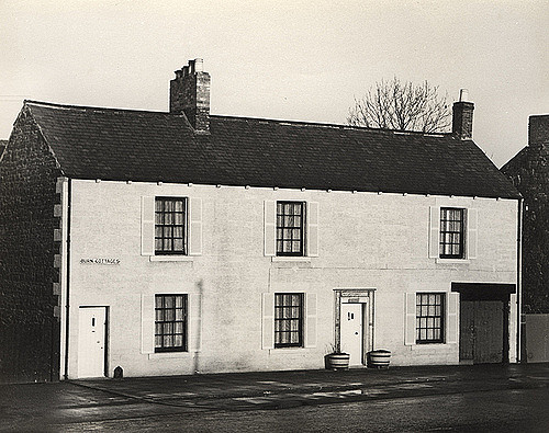
016449:Burns Cottages Gosforth unknown January 1967
Pinned by Simon Cotterill
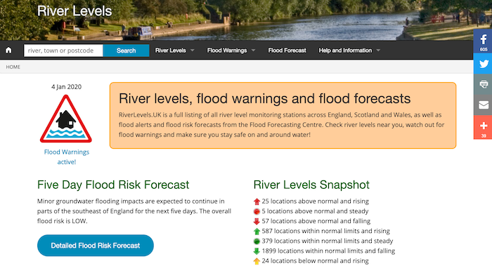
from https://riverlevels.uk/ouse-b…
Ouse Burn at Gosforth - River Level
- Current river level and graph of river levels over time.
Added by
Simon Cotterill


from Newcastle libraries (flickr)
058662:Trams Gosforth High Street Gosforth Unknown c.1895
Pinned by Co-Curate Team
from Newcastle libraries (flickr)
024992:High Street Gosforth Unknown c.1905
Pinned by Co-Curate Team
from Newcastle libraries (flickr)
062873:The County Gosforth High Street Unknown 1995
Pinned by Co-Curate Team
from Newcastle libraries (flickr)
054595: Flying Competition at Gosforth Park, Newcastle upon Tyne, Halliday Fred 1911
Pinned by Co-Curate Team
from Newcastle libraries (flickr)
062266:Gosforth Grammar School, Gosforth, 1956
Pinned by Co-Curate Team
from Newcastle University (youtube)
Newcastle's New Extension Of Tramways AKA Newcastle's New Extension Of Trams (1924)
Pinned by Simon Cotterill
from Youtube (youtube)
Professional Golf Tournament At Newcastle Lner (1938)
Pinned by Simon Cotterill
Co-Curate Page
St. Nicholas Hospital
- St. Nicholas Hospital is located on Jubilee Road in the Coxlodge area of Gosforth. This psychiatric hospital was built 1865-1869, designed by WL Moffatt of Edinburgh for the County Borough of …
from Newcastle libraries (flickr)
049204:Tram, Great North Road, Gosforth, 1948
Pinned by Simon Cotterill
Co-Curate Page
North Gosforth
- Overview Map Street View North Gosforth is a suburb and civil parish in the City of Newcastle upon Tyne, which includes Brunton Park, Melton Park, East Brunton and North Brunton. …
from Newcastle libraries (flickr)
016448:South Gosforth Newcastle upon Tyne unknown 1967
Pinned by Simon Cotterill
from Geograph (geograph)
Little Dene, or Blackies Valley, Newcastle upon Tyne, being filled in about 1962
Pinned by Simon Cotterill
from Newcastle libraries (flickr)
001956:Charles John Brandling Unknown Undated
Pinned by Simon Cotterill
from Newcastle libraries (flickr)
Gosforth Council Offices, Gosforth, Sept 1965
Pinned by Simon Cotterill
from Newcastle libraries (flickr)
053379:Little Bridge Gosforth Unknown 1888
Pinned by Simon Cotterill
from Newcastle libraries (flickr)
045221:Regent Farm Road Gosforth City Engineers 1977
Pinned by Simon Cotterill
from Newcastle libraries (flickr)
024969:Rectory Terrace Gosforth Unknown c.1900
Pinned by Simon Cotterill
from Newcastle libraries (flickr)
062406:Elmfield Road Gosforth unknown c1910
Pinned by Simon Cotterill
from Newcastle libraries (flickr)
022461:Police Station Hawthorn Road Gosforth Unknown 1972
Pinned by Simon Cotterill
from Newcastle libraries (flickr)
063177:Little Bridge Gosforth Unknown c.1920
Pinned by Simon Cotterill
from Newcastle libraries (flickr)
018902:Northern Rock Building Regent Centre Gosforth Unknown 1969
Pinned by Simon Cotterill
from Newcastle libraries (flickr)
016449:Burns Cottages Gosforth unknown January 1967
Pinned by Simon Cotterill
from https://riverlevels.uk/ouse-b…
Ouse Burn at Gosforth - River Level
- Current river level and graph of river levels over time.
Added by
Simon Cotterill

Tyne and Wear

Newcastle upon Tyne
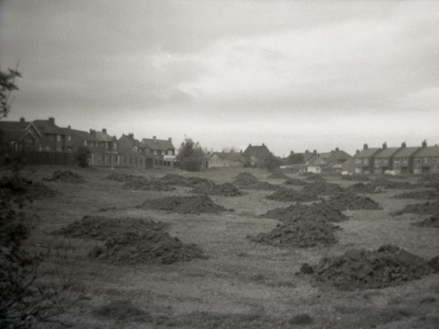
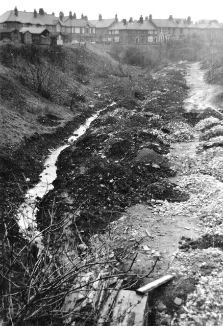
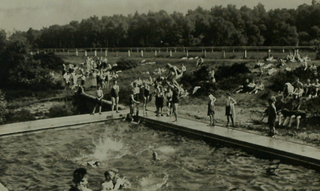
Blackies Valley / Little Dene
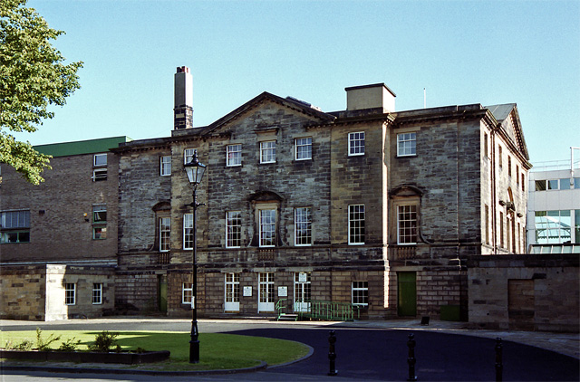
Brandling House, Gosforth

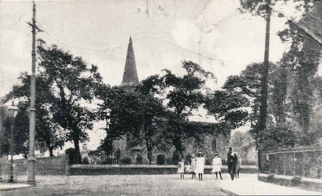
Church Road, Gosforth
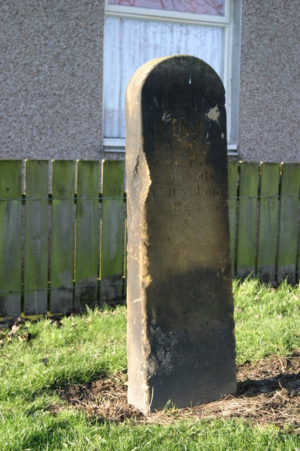
Dyke Stone, Gosforth

Gosforth at War

Gosforth Colliery (1825 - 1884)

Gosforth Conservation Area
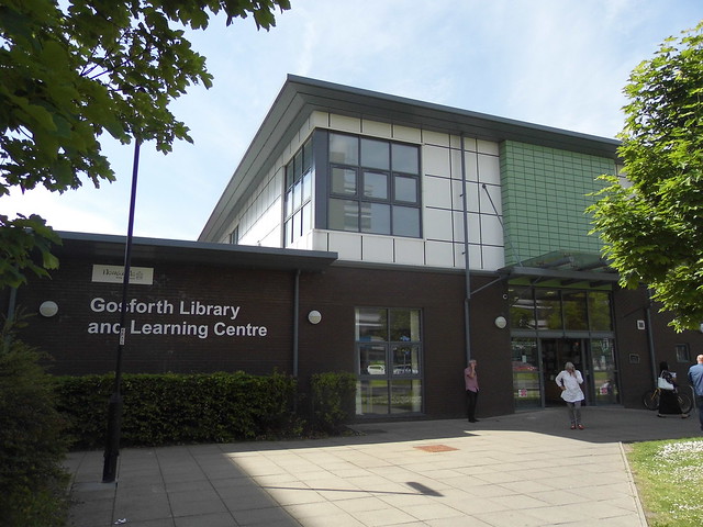
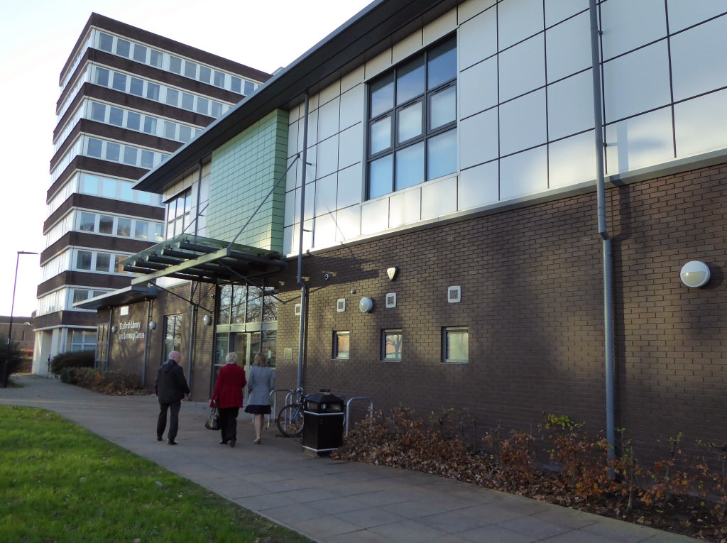
Gosforth Library

Gosforth Parish, 1848

Gosforth Parish, 1855
Gosforth Park
Gosforth, Historical Account, 1890
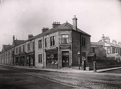
High Street, Gosforth
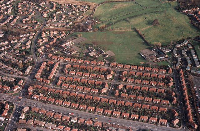
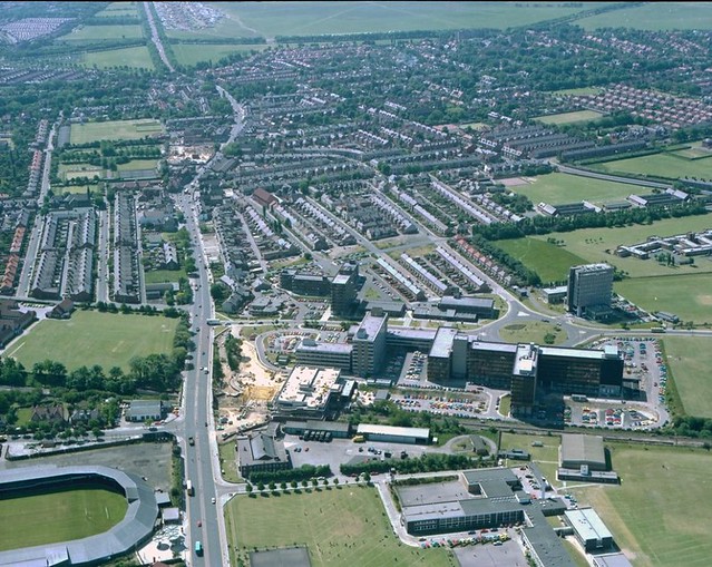
Map and Aerial View of Gosforth
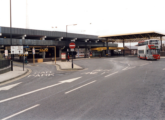
Regent Centre, Gosforth
Salters Bridge, Gosforth
Salters Road, Gosforth
South Gosforth
West Avenue, Gosforth
West Gosforth


