Topics > Northumberland > Edlingham
Edlingham
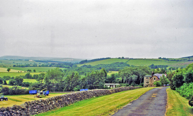
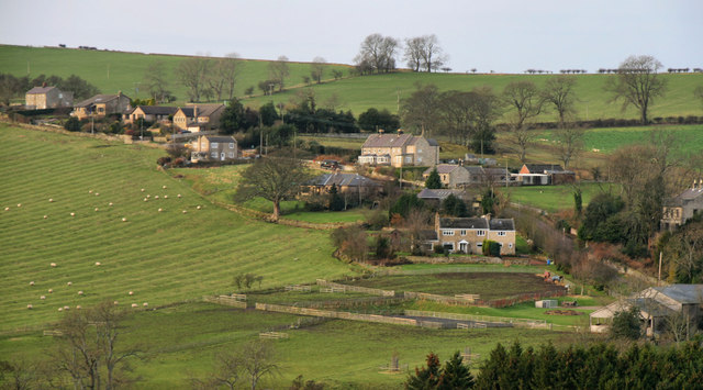
Edlingham is a small village and civil parish in Northumberland in the north of England. At the 2001 census it had a population of 196, reducing slightly to 191 at the 2011 Census. The road to Alnwick passes close by the village and the town of Rothbury is about away.
The name Edlingham means The home of Eadwulf in Anglo-Saxon. Its recorded history goes back as far as 737 when King Coelwulf gave Edlingham and three other royal Northumbrian villages to Cuthbert.
Landmarks
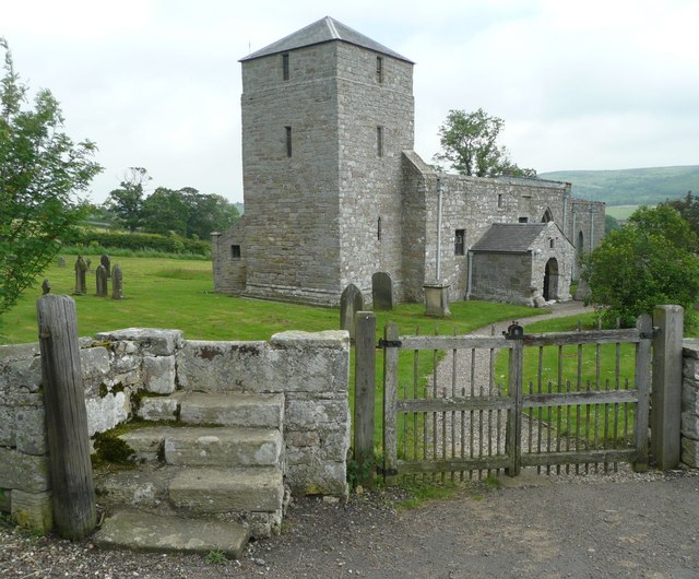
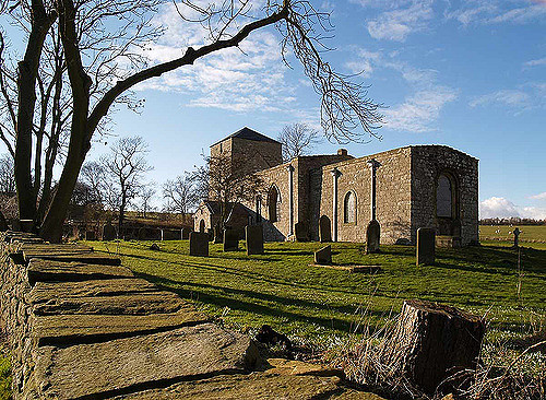
St. John the Baptist's Church dates largely from the 11th and 12th centuries, with a remarkable fortified tower added c.1300.
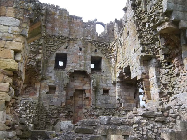
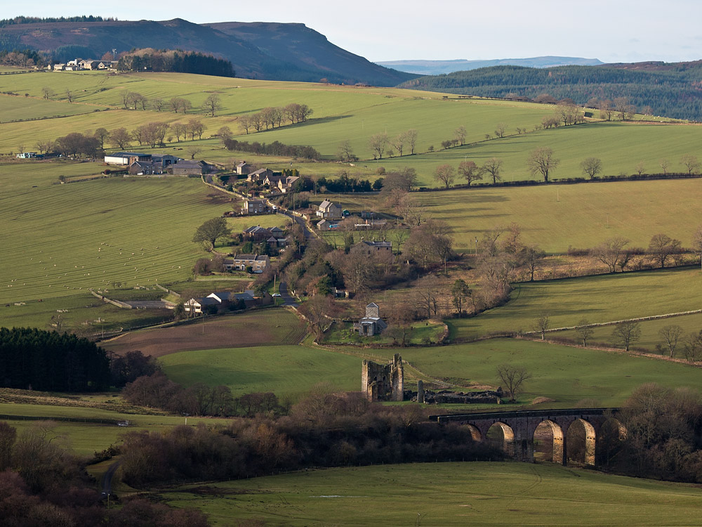
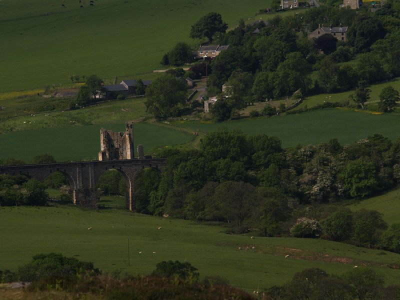
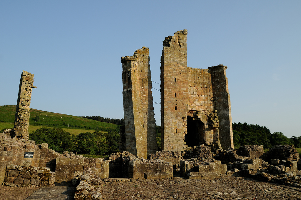
Situated close to the church, Edlingham Castle has its origins in a house built by John de Edlingham in the 12th century, which was subsequently strengthened and fortified over the next three centuries. In the 15th century the castle had a moat, gate tower and strong palisade. However, agricultural requirements overtook the need for defence over the following 200 years, and after 1514 the buildings were let to local tenant farmers for housing animals and crops, and fell into disrepair. By 1650 the castle was abandoned and over the next 300 years the theft of stonework left the building in ruins. Excavations were started in 1978 by English Heritage to make the remaining masonry safe for visitors.
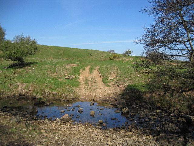
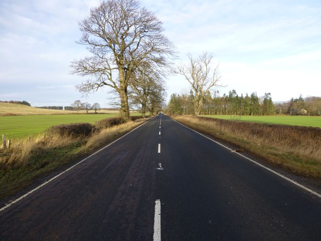
The Devil's Causeway passes the western edge of the village. The causeway is a Roman road which starts at Port Gate on Hadrian's Wall, north of Corbridge, and extends northwards across Northumberland to the mouth of the River Tweed at Berwick-upon-Tweed.
from Geograph (geograph)
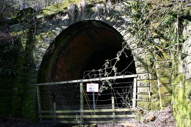
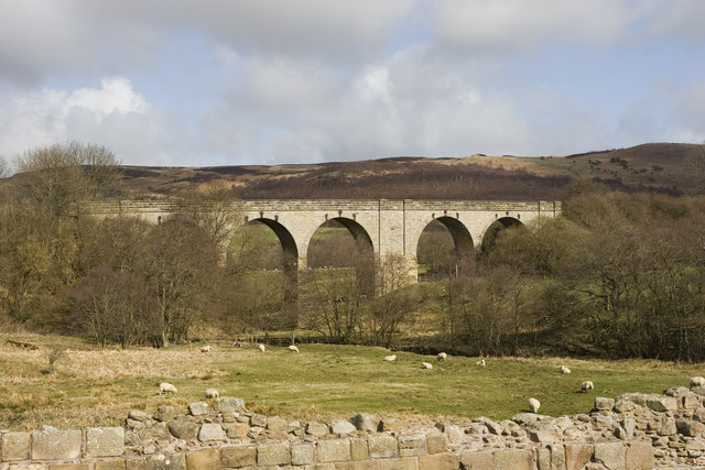
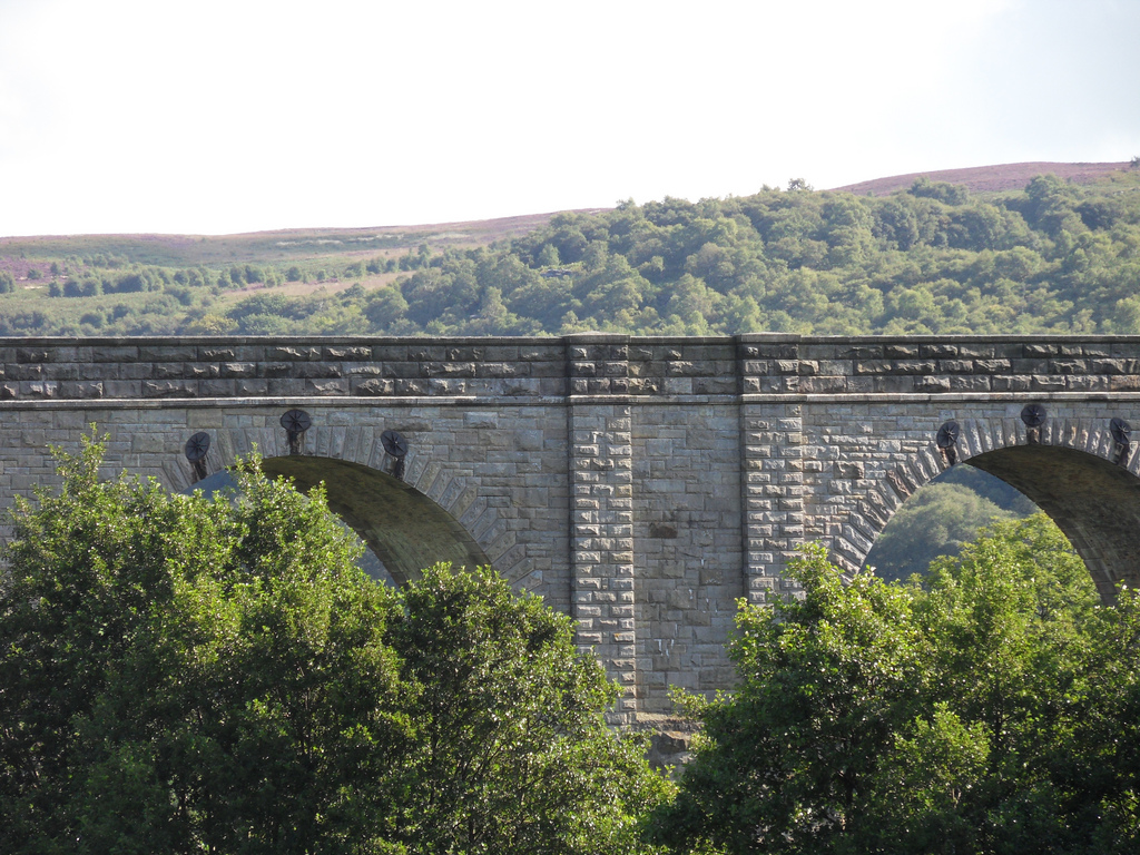
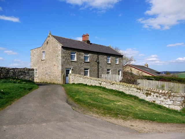
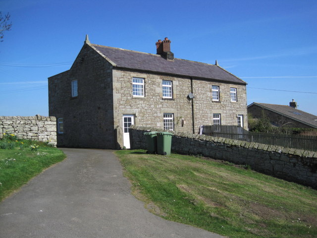
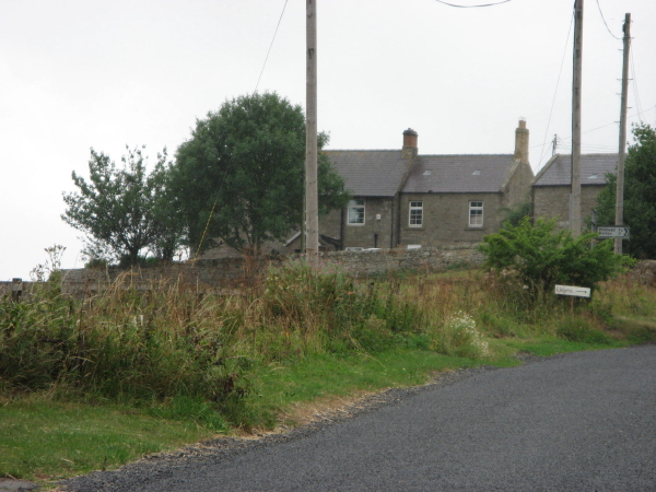
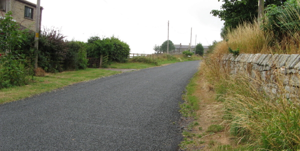
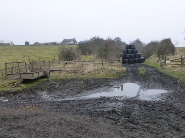
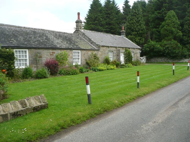
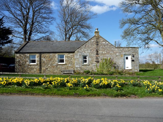
On the track-bed of the old Alnwick to Cornhill Railway
Pinned by Pat Thomson

from http://www.keystothepast.info…
Local History: Edlingham
- "The parish of Edlingham lies in central Northumberland in a landscape of scarps and vales. The village of Edlingham lies at the centre of the parish and is now a …
Added by
Simon Cotterill
Co-Curate Page
Devil's Causeway (Roman Road)
- Overview About the Devil's Causeway The Devil's Causeway was a Roman road, which branches off Dere Street north of Corbridge, running about 55 miles to near Berwick-upon-Tweed. Today some of …
Co-Curate Page
Historic Buildings and Monuments in Edlingham Civil Parish
- Listed buildings and scheduled monuments in Edlingham Civil Parish, Northumberland, from the National Heritage List for England[1]. Use the Search (below) if looking for a specific building / monument. Structure …

from Geograph (geograph)
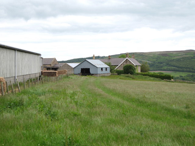
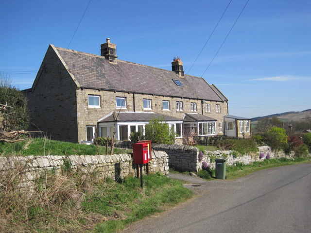
On the track-bed of the old Alnwick to Cornhill Railway
Pinned by Pat Thomson
from http://www.keystothepast.info…
Local History: Edlingham
- "The parish of Edlingham lies in central Northumberland in a landscape of scarps and vales. The village of Edlingham lies at the centre of the parish and is now a …
Added by
Simon Cotterill