Topics > Northumberland > Civil Parishes in Northumberland > Carham Civil Parish
Carham Civil Parish
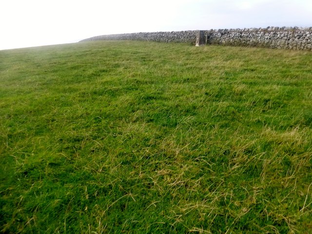
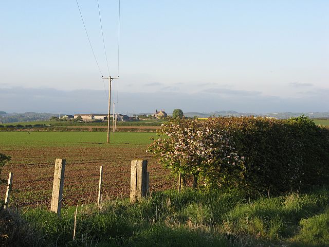
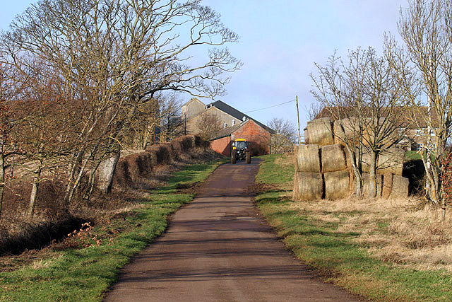
The parish incorporates Carham, East Learmouth, Hagg, Howburn, Pressen Hill, Shidlaw, Sunilaws, Tithehill, Wark-on-Tweed, West Learmouth. There are also the hamlets of Mindrum, Mindrummill, Mindrum Station, and Downham.
Area: 43.4 km²
Population:
316 (2021 Census)
346 (2011 Census)
347 (2001 Census)
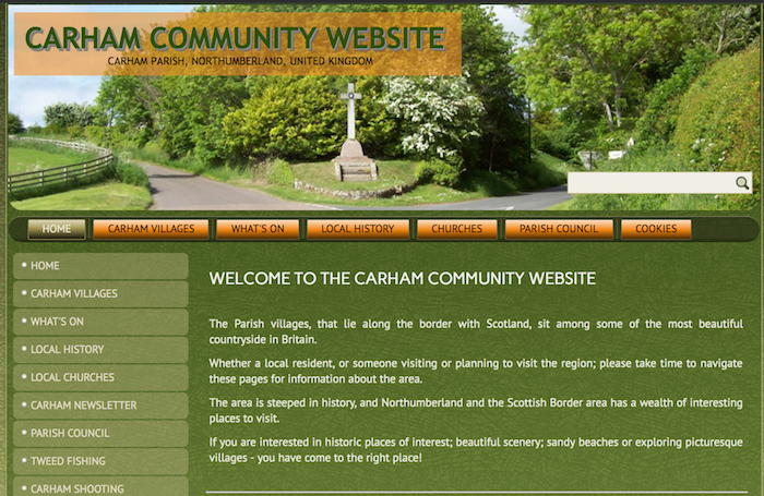
from http://www.carhamparish.org.u…
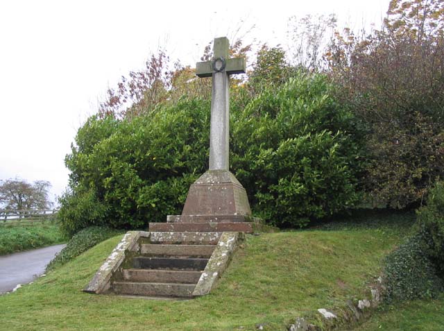
Carham Parish Community Website
- The Parish villages, that lie along the border with Scotland, including Carham, East Learmouth, Hagg, Howburn, Pressen Hill, Shidlaw, Sunilaws, Tithehill, Wark-on-Tweed & Wark Common, and West Learmouth.
Added by
Simon Cotterill
Co-Curate Page
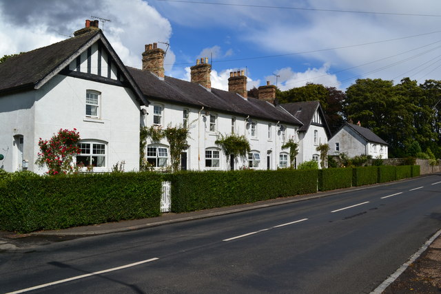
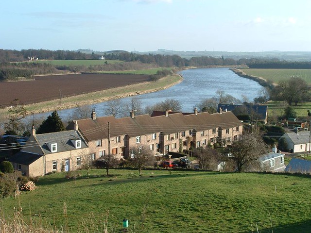
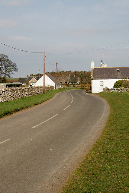
Carham
- Overview About Carham Map Street View Carham or Carham On Tweed is a village in Northumberland, England. The village lies on the south side of the River Tweed about …
Co-Curate Page
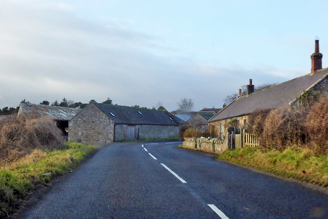
Wark-on-Tweed
- Overview About Wark Map Street View Wark on Tweed (usually referred to simply as Wark) is a village in the English county of Northumberland. It lies about 15 miles …
Co-Curate Page
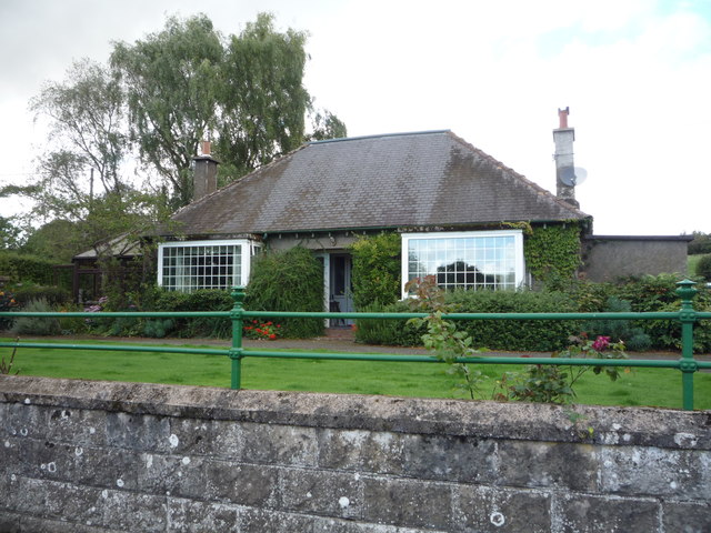
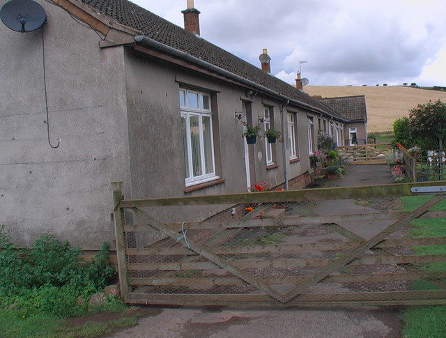
West Learmouth
- Overview Map Street View West Learmouth (aka 'Old Learmouth') is a small village in Northumberland, close to the border with Scotland. It is situated by Willow Burn and located about …

from https://keystothepast.info/se…
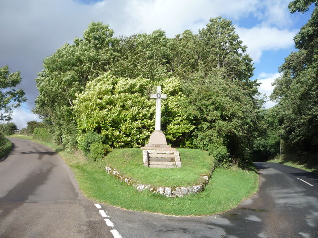
Local History: Carham
- "The parish of Carham, which also includes the village of Wark-on-Tweed, is located on the English side of the Scottish-English border. It is this border location which has defined the …
Added by
Simon Cotterill
Co-Curate Page
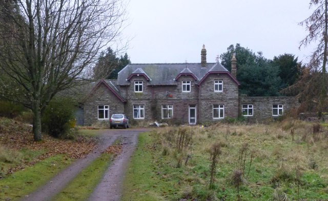
Mindrum Station
- Overview About Mindrum Station Map Street View Mindrum Station is a hamlet and former railway station in Northumberland. The station was on the Alnwick to Cornhill Branch railway built to …
Co-Curate Page
Mindrum
- Overview About Mindrum Map Street View Mindrum is a distributed village in Northumberland, located about 1½ miles from the border with Scotland. It is situated by Bowmont Water (river) and …
Co-Curate Page
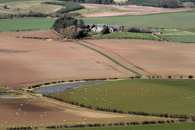
Downham
- Overview Map Street View Downham is a hamlet in Northumberland consisting of Downham farm and a few farm cottages. It is within the civil parish of Carnham and located east …
Co-Curate Page
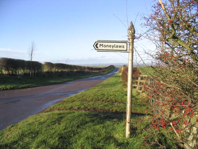
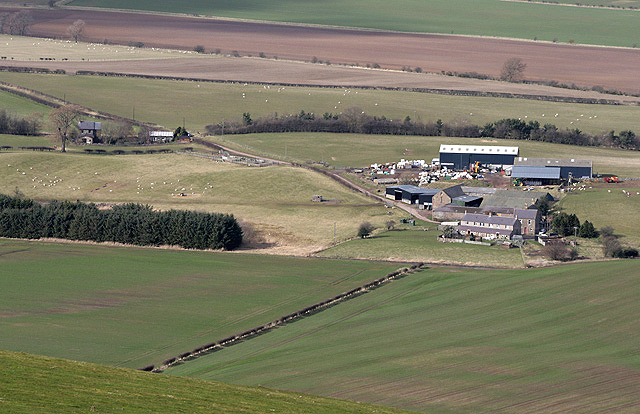
Moneylaws
- Overview Map Street View The adjacent hamlets of East Moneylaws and West Moneylaws in Northumberland are located close to the border with Scotland, about 8½ miles north-west of Wooler and …
Co-Curate Page
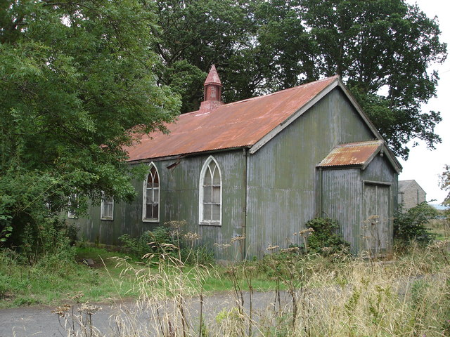
Tithe Hill
- Extract from: A Topographical Dictionary of England comprising the several counties, cities, boroughs, corporate and market towns, parishes, and townships..... 7th Edition, by Samuel Lewis, London, 1848. TITHE HILL, a …
Co-Curate Page
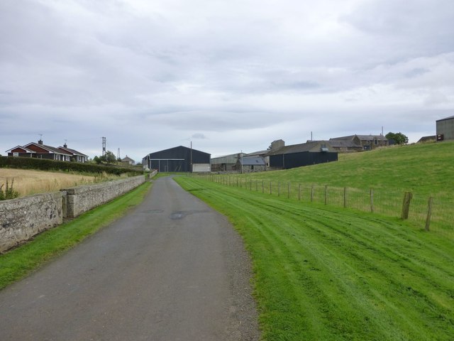
Hagg
- Overview Map Street View Hagg is a hamlet in Northumberland, located close to the border with Scotland, about 2 miles south of Cornhill-on-Tweed. It primarily consists of Hagg farm and …

from http://www.carhamparish.org.u…
Carham Parish Community Website
- The Parish villages, that lie along the border with Scotland, including Carham, East Learmouth, Hagg, Howburn, Pressen Hill, Shidlaw, Sunilaws, Tithehill, Wark-on-Tweed & Wark Common, and West Learmouth.
Added by
Simon Cotterill
Co-Curate Page
Carham
- Overview About Carham Map Street View Carham or Carham On Tweed is a village in Northumberland, England. The village lies on the south side of the River Tweed about …
Co-Curate Page
Wark-on-Tweed
- Overview About Wark Map Street View Wark on Tweed (usually referred to simply as Wark) is a village in the English county of Northumberland. It lies about 15 miles …
Co-Curate Page
West Learmouth
- Overview Map Street View West Learmouth (aka 'Old Learmouth') is a small village in Northumberland, close to the border with Scotland. It is situated by Willow Burn and located about …
from https://keystothepast.info/se…
Local History: Carham
- "The parish of Carham, which also includes the village of Wark-on-Tweed, is located on the English side of the Scottish-English border. It is this border location which has defined the …
Added by
Simon Cotterill
Co-Curate Page
Mindrum Station
- Overview About Mindrum Station Map Street View Mindrum Station is a hamlet and former railway station in Northumberland. The station was on the Alnwick to Cornhill Branch railway built to …
Co-Curate Page
Mindrum
- Overview About Mindrum Map Street View Mindrum is a distributed village in Northumberland, located about 1½ miles from the border with Scotland. It is situated by Bowmont Water (river) and …
Co-Curate Page
Downham
- Overview Map Street View Downham is a hamlet in Northumberland consisting of Downham farm and a few farm cottages. It is within the civil parish of Carnham and located east …
Co-Curate Page
Moneylaws
- Overview Map Street View The adjacent hamlets of East Moneylaws and West Moneylaws in Northumberland are located close to the border with Scotland, about 8½ miles north-west of Wooler and …
Co-Curate Page
Tithe Hill
- Extract from: A Topographical Dictionary of England comprising the several counties, cities, boroughs, corporate and market towns, parishes, and townships..... 7th Edition, by Samuel Lewis, London, 1848. TITHE HILL, a …