Topics > Tyne and Wear > Newcastle upon Tyne > Ouseburn > Byker Bridge
Byker Bridge
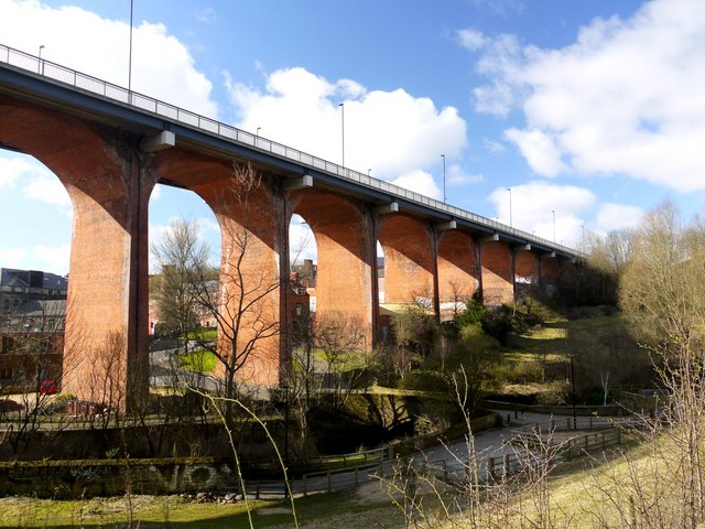
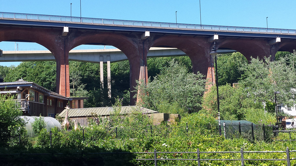
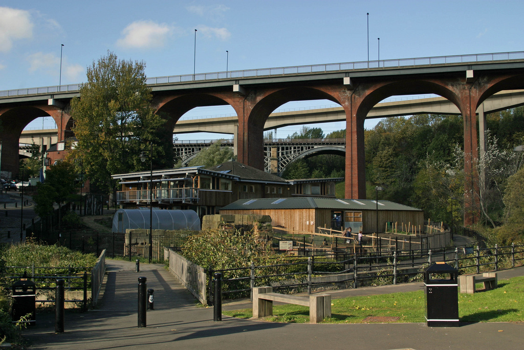
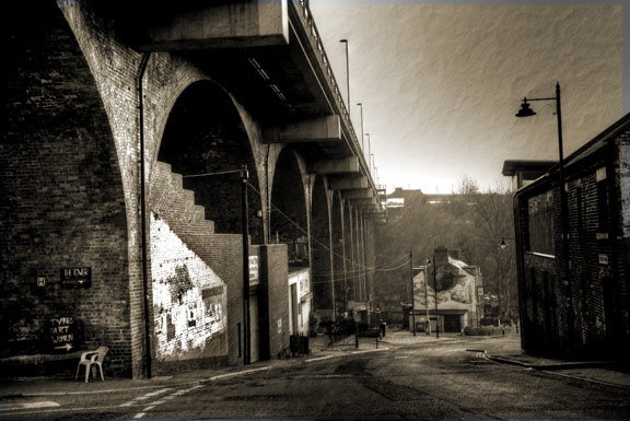
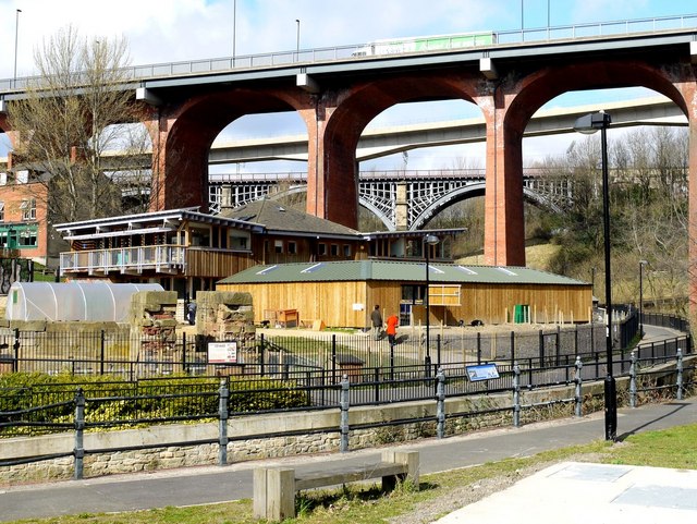
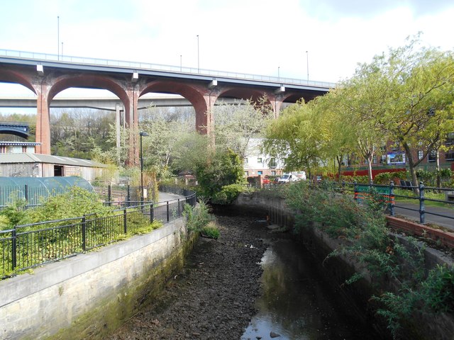
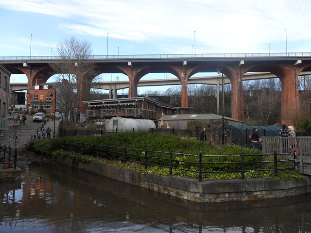
The Byker Bridge is a 344.65m (1130 ft) long road bridge that carries the A193 road over the River Ouseburn in Newcastle upon Tyne. It carries traffic from the city centre and Central Motorway in the west, to the area of Byker to the east, over the lower Ouseburn valley, with the river emptying into the north side of the River Tyne, to the south.
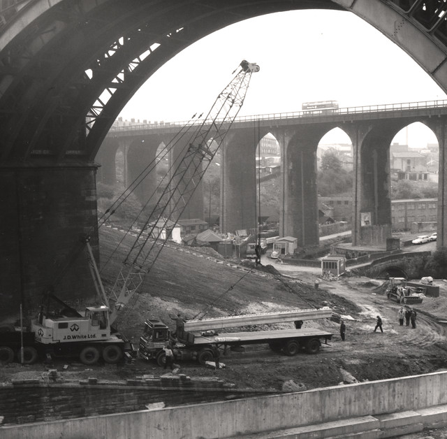
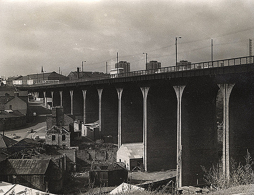
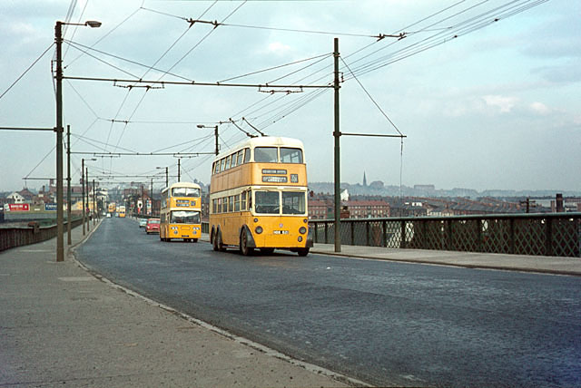
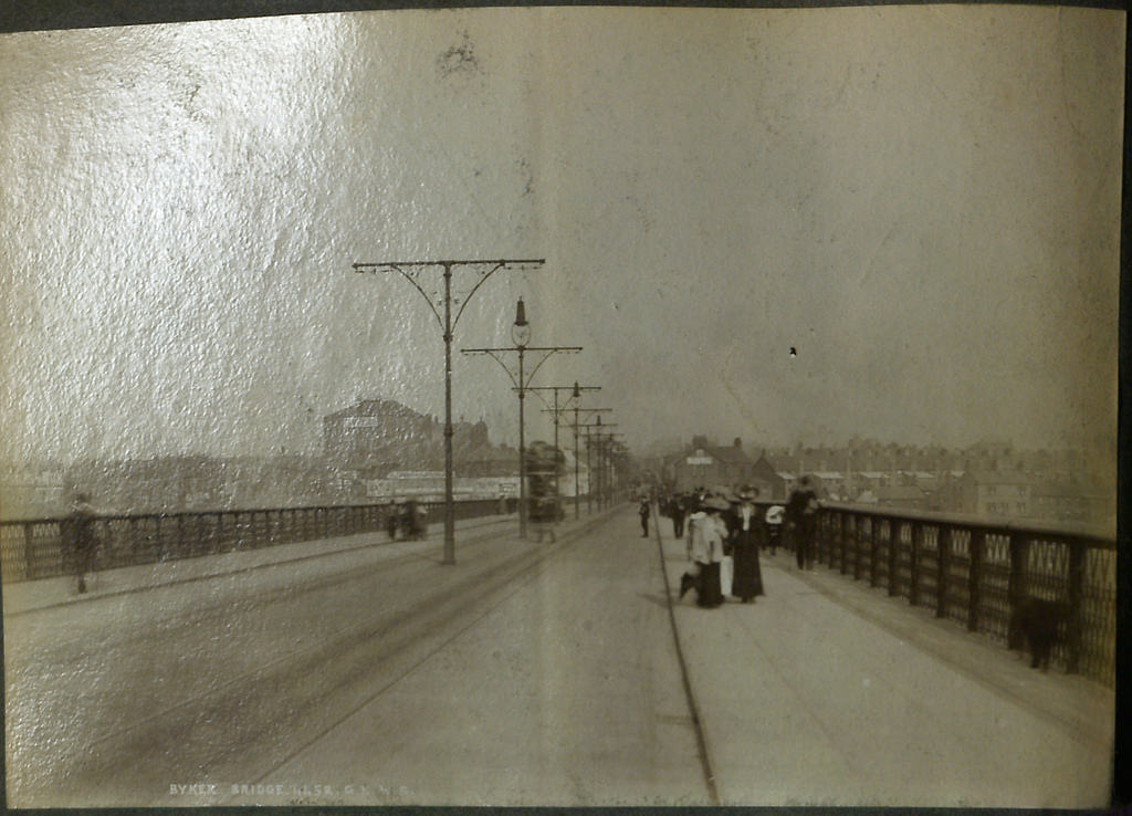
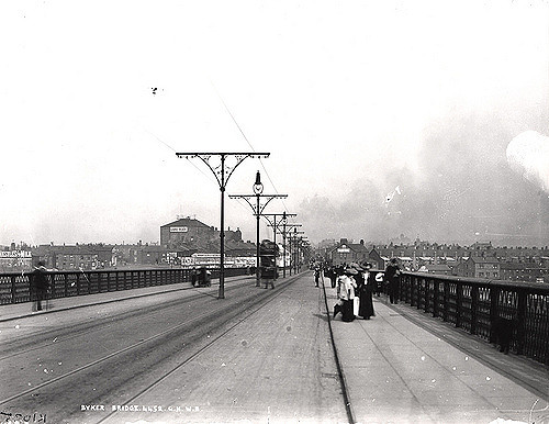
The Bridge was opened to pedestrians on 19 October 1878, and then to carts and carriages on 27 January 1879. There was originally a half penny toll, which was withdrawn on 12th April 1895. Originally 9.15m (30ft) wide, the bridge was widened to 15.25m (50ft) in 1899, by the addition of footpaths cantilevered out from the edge of the brickwork. The deck of the bridge was rebuilt during 1985/6 with the addition of pre-stressed concrete beams on cantilevers to support both footways and new crash barriers.
It is one of three high level bridges in close proximity making the same crossing, with the Byker Metro Bridge and then the Ouseburn railway viaduct both to the north (the S shaped Metro bridge crosses over the road bridge at its eastern end).
Visit the page: Byker Bridge for references and further details. You can contribute to this article on Wikipedia.
from Newcastle libraries (flickr)
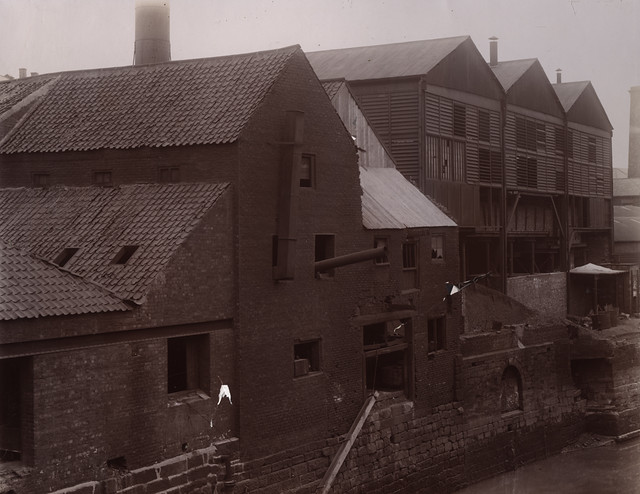
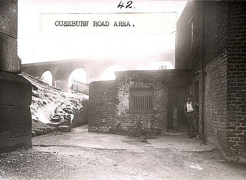
034788:Ouseburn Road Byker Dept of Environmental Health c.1935
Pinned by Simon Cotterill

from http://twsitelines.info/SMR/1…
Tyne and Wear HER(1945): Byker Road Bridge
- "Constructed in 1878 to overcome the need to descend and ascend the steep sides of the Lower Ouseburn Valley. A toll was charged for its use until 1895..."
Added by
Simon Cotterill
from Newcastle libraries (flickr)
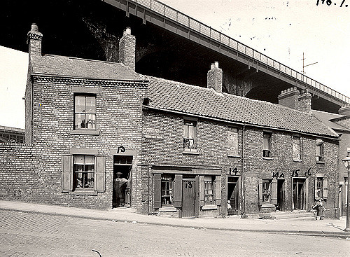
050332:Byker Bridge Byker City Engineers 1972
Pinned by Simon Cotterill
Co-Curate Page
New Bridge Street
- Overview History Map Street View Street View (west) New Bridge Street is a road running east from Newcastle city centre, forming part of the A193, which passes Shieldfield and Ousburn …

from Youtube (youtube)
Byker Bridge Byker Metro from the air using Mavic Pro
Pinned by Simon Cotterill

from Newcastle libraries (flickr)
034788:Ouseburn Road Byker Dept of Environmental Health c.1935
Pinned by Simon Cotterill
from http://twsitelines.info/SMR/1…
Tyne and Wear HER(1945): Byker Road Bridge
- "Constructed in 1878 to overcome the need to descend and ascend the steep sides of the Lower Ouseburn Valley. A toll was charged for its use until 1895..."
Added by
Simon Cotterill
from Newcastle libraries (flickr)
050332:Byker Bridge Byker City Engineers 1972
Pinned by Simon Cotterill
Co-Curate Page
New Bridge Street
- Overview History Map Street View Street View (west) New Bridge Street is a road running east from Newcastle city centre, forming part of the A193, which passes Shieldfield and Ousburn …
from Youtube (youtube)
Byker Bridge Byker Metro from the air using Mavic Pro
Pinned by Simon Cotterill