Topics > Northumberland > Amble > Druridge Bay
Druridge Bay
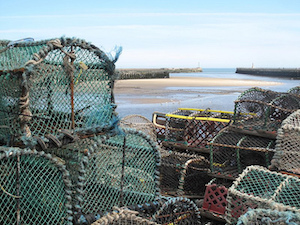
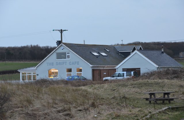
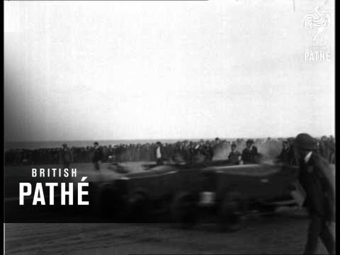
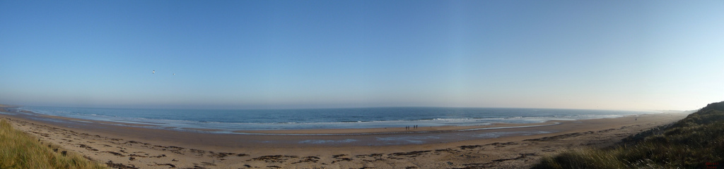
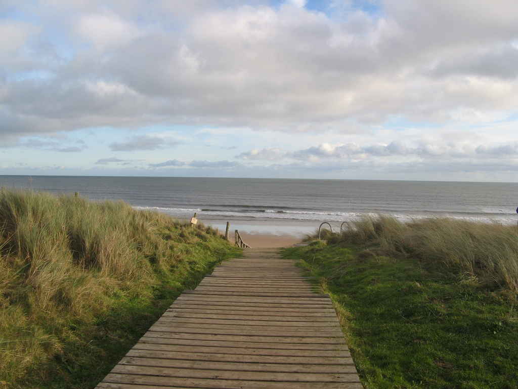
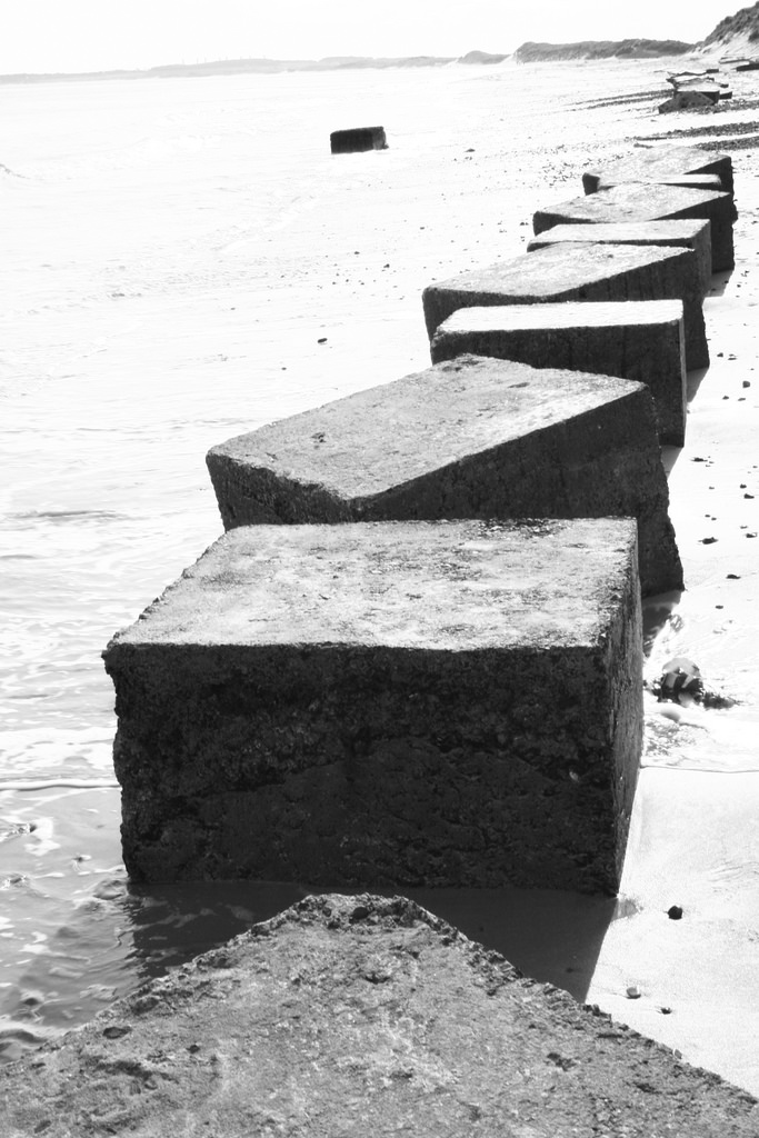
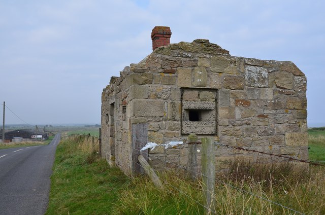
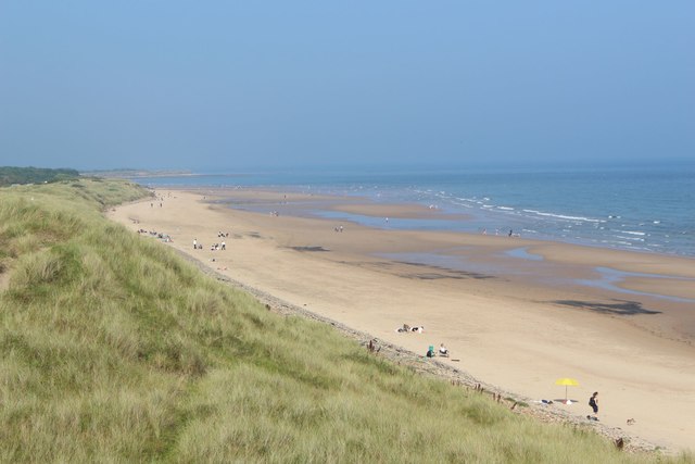
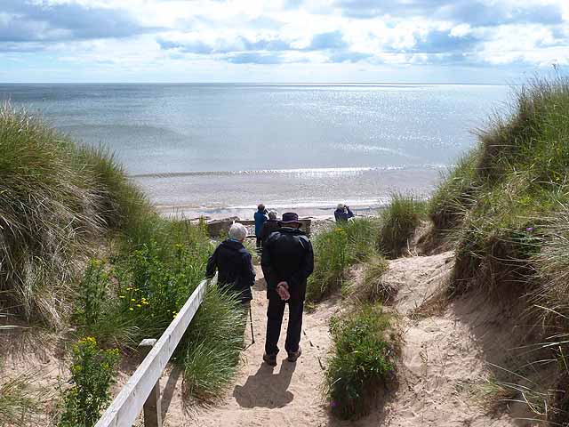
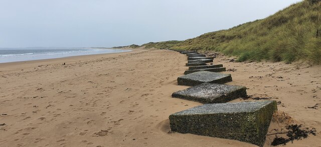
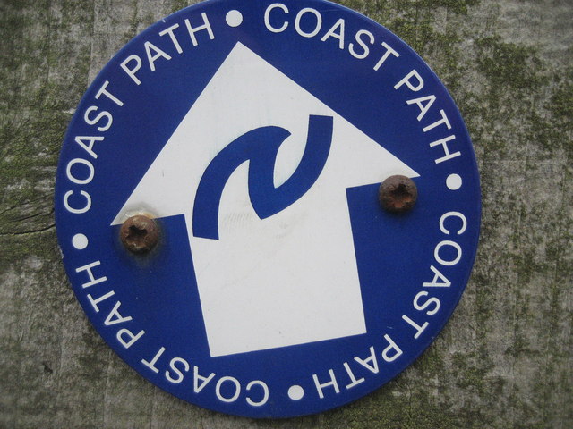
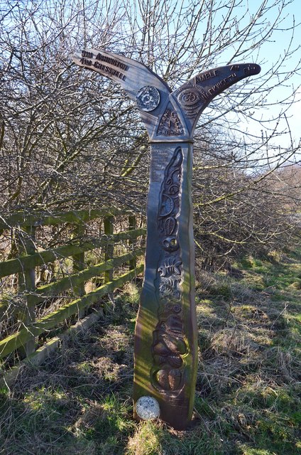
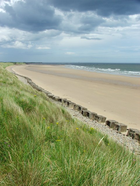
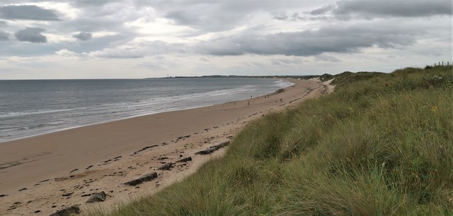
Druridge Bay is a seven mile-stretch of beach running from Amble to Cresswell in Northumberland, located about 7 miles north-east of Morpeth and immediately east of the small settlement of Druridge. Situated by the bay is Druridge Bay Country Park, and the Northumberland Coast Path starts at Cresswell at the south end of the bay. The central part of the bay is owned by the National Trust and the bay also has designated nature reserves. In 1926 motorcycles were raced on the beach in the Northern Speed Trials. During World War 2, the bay was a potential target for invasion. As part of the Druridge Bay Defence Area, anti-tank blocks were built in the bay (some still seen today), anti-glider ditches were dug, and there were gun emplacements and minefields here. A pillbox at Hemscott Hill still remains.
from https://www.northumberland.go…
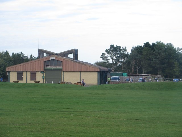
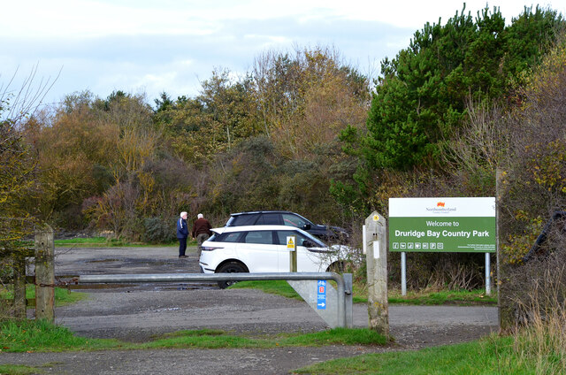
Druridge bay country park & visitors centre
- Information and events from Northumberland County Council
Added by
Co-Curate Team
Co-Curate Page
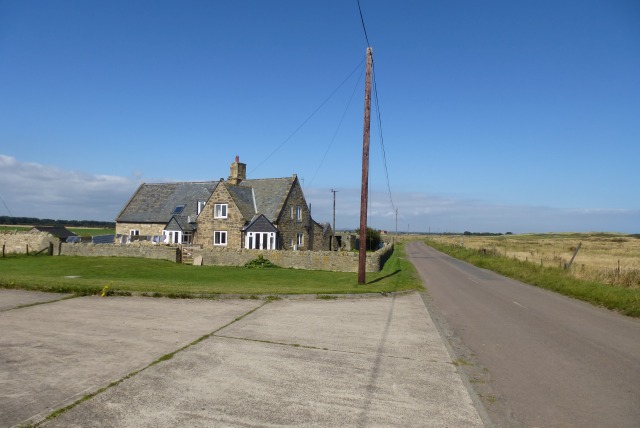
Pillbox, Hemscott Hill
- Overview Map Street View A Second World War pillbox, disguised as a small ruined house at Druridge Bay near the Links at Hemscott Hill. Druridge Bay was identified as a potential …

from https://www.northumberland.go…
Druridge bay country park & visitors centre
- Information and events from Northumberland County Council
Added by
Co-Curate Team
Co-Curate Page
Pillbox, Hemscott Hill
- Overview Map Street View A Second World War pillbox, disguised as a small ruined house at Druridge Bay near the Links at Hemscott Hill. Druridge Bay was identified as a potential …