Topics > Geography > Rivers > Wooler Water
Wooler Water
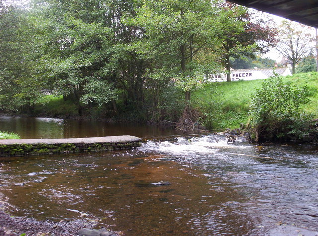
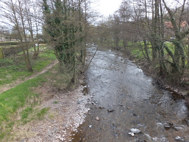
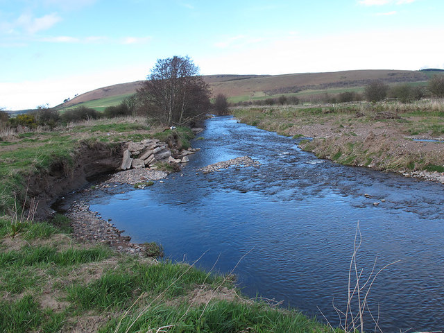
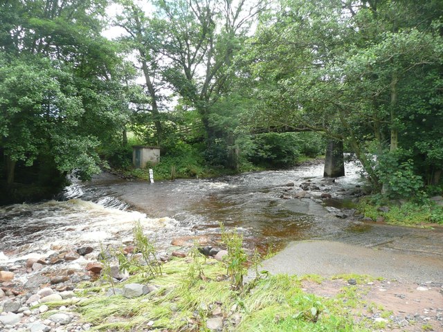
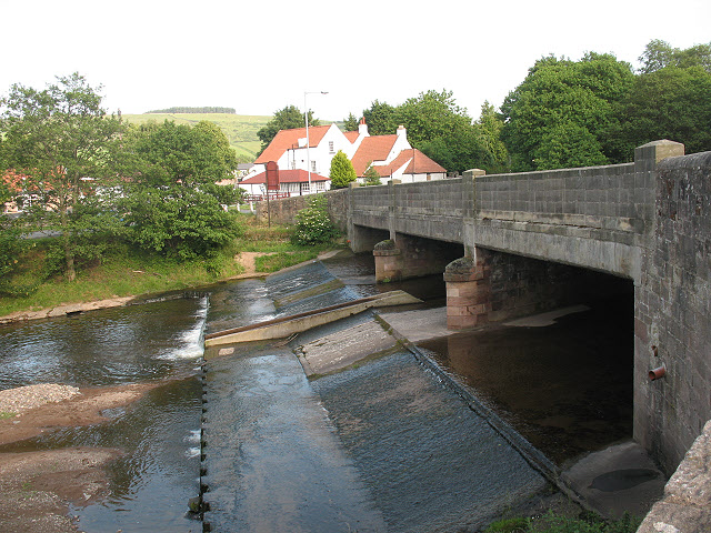
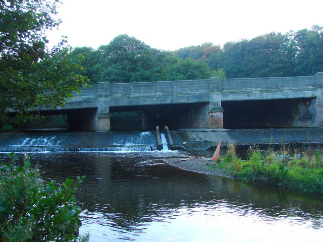
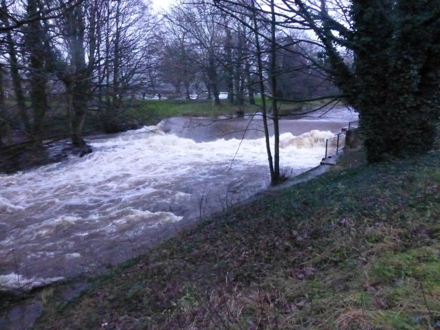
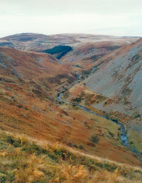
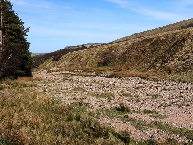
Wooler Water is a river in Northumberland, which is a tributary to the River Till. It flows through the market town of Wooler before joining the River Till, which is iteslf a tributary to the River Tweed. For part of it's course, from its formation at the confuence of Carey Burn and Harthope Burn, up to Coldgate Mill, the river is known as Coldgate Water.
Co-Curate Page
Wooler
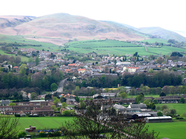
- Overview About Wooler Timeline Map Street View Wooler is an historic market town and parish in Northumberland, situated on the edge of the Northumberland National Park, and the Cheviot Hills. …
Co-Curate Page
River Till
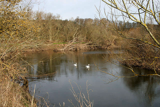
- The River Till is one of a number of tributaries of the River Tweed, but the only one to flow completely in England. The Till iself has several tributaries including, …

from https://commons.wikimedia.org…
Tributaries of the River Tweed catchment
- Image by Notuncurious available on a Creative Commons Attribution-Share Alike 3.0 Unported license.
Added by
Pat Thomson
Co-Curate Page
Haugh Head
- Overview Map Street View Haugh Head is a small village by Wooler Water, it is a mile south of Wooler in Northumberland, on the A697 road. The village has a garage, …

from https://environment.data.gov.…
Wooler Water from Source to Harthope Burn
Added by
Simon Cotterill

from https://environment.data.gov.…
Wooler Water from Harthope Burn to Till
Added by
Simon Cotterill


Co-Curate Page
Wooler
- Overview About Wooler Timeline Map Street View Wooler is an historic market town and parish in Northumberland, situated on the edge of the Northumberland National Park, and the Cheviot Hills. …

Co-Curate Page
River Till
- The River Till is one of a number of tributaries of the River Tweed, but the only one to flow completely in England. The Till iself has several tributaries including, …

from https://commons.wikimedia.org…
Tributaries of the River Tweed catchment
- Image by Notuncurious available on a Creative Commons Attribution-Share Alike 3.0 Unported license.
Added by
Pat Thomson

Co-Curate Page
Haugh Head
- Overview Map Street View Haugh Head is a small village by Wooler Water, it is a mile south of Wooler in Northumberland, on the A697 road. The village has a garage, …

from https://environment.data.gov.…
Wooler Water from Source to Harthope Burn
Added by
Simon Cotterill

from https://environment.data.gov.…
Wooler Water from Harthope Burn to Till
Added by
Simon Cotterill
Wikipedia: Wooler Water
