Topics > Geography > Rivers > Wooler Water > Carey Burn

Carey Burn


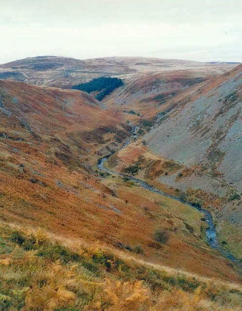
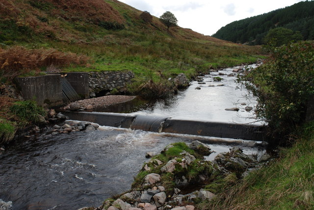
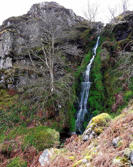
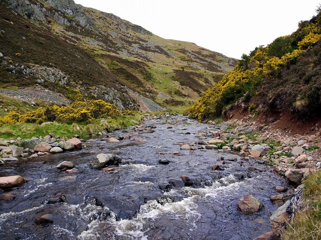
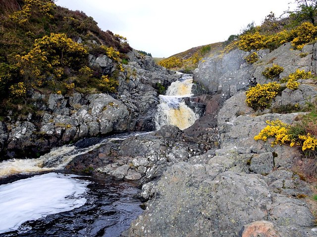
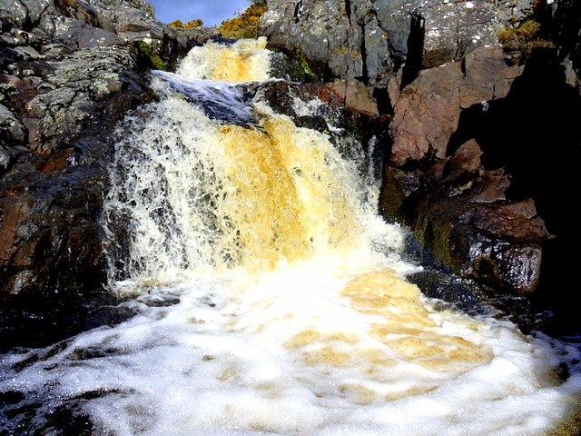
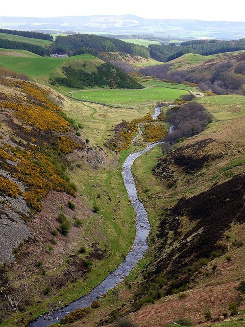
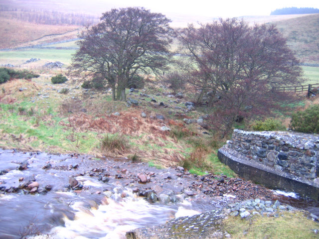
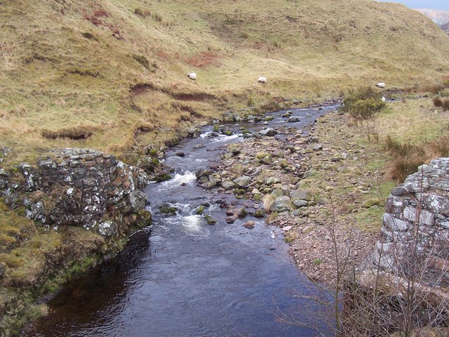
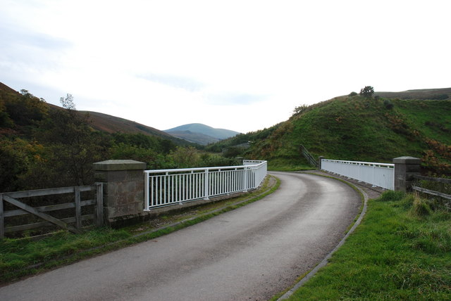
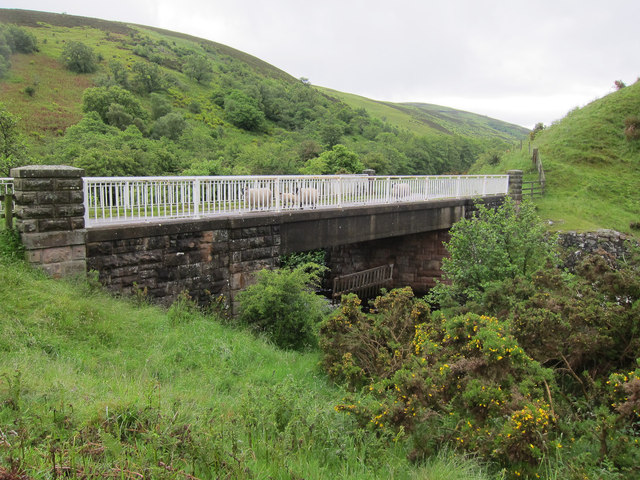
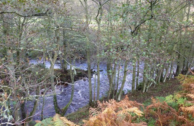
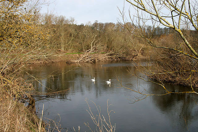
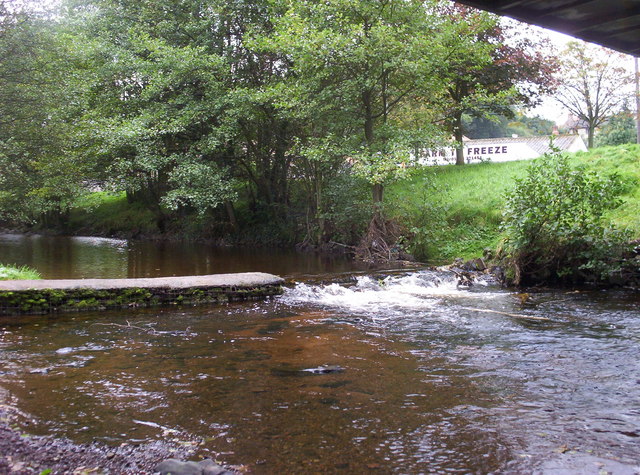
Carey Burn is a small river in Northumberland. It flows roughly eastwards for 9.8km (catchment area 21.6 km2)[1] before it joins Harthope Burn at Skirl Naked to form Coldgate Water (later downstream known as Wooler Water).

Wooler Water
from Geograph (geograph)
Deeply incised valley of the Carey Burn

Pinned by Simon Cotterill
from Geograph (geograph)
Weir on the Carey Burn

Pinned by Simon Cotterill
from Geograph (geograph)
Waterfall above Carey Burn

Pinned by Simon Cotterill
from Geograph (geograph)
Beside the Carey Burn

Pinned by Simon Cotterill
from Geograph (geograph)
Careyburn Linn from below

Pinned by Simon Cotterill
from Geograph (geograph)
Careyburn Linn after a few days of rain

Pinned by Simon Cotterill
from Geograph (geograph)
Carey Burn

Pinned by Simon Cotterill
from Geograph (geograph)
Carey Burn

Pinned by Simon Cotterill
from Geograph (geograph)
Old Bridge on the Carey Burn

Pinned by Simon Cotterill
from Geograph (geograph)
Carey Burn Bridge

Pinned by Simon Cotterill
from Geograph (geograph)
Carey Burn Bridge

Pinned by Simon Cotterill
from Geograph (geograph)
Confluence of Carey Burn and Harthope Burn

Pinned by Simon Cotterill
from https://environment.data.gov.…
Wooler Water from Source to Harthope Burn

Added by
Simon Cotterill

Comments

Add a comment or share a memory.

Login to add a comment. Sign-up if you don't already have an account.


ABOUT US

Co-Curate is a project which brings together online collections, museums, universities, schools and community groups to make and re-make stories and images from North East England and Cumbria. Co-Curate is a trans-disciplinary project that will open up 'official' museum and 'un-officia'l co-created community-based collections and archives through innovative collaborative approaches using social media and open archives/data.

LATEST SHARED RESOURCES