Topics > Geography > Rivers > River Till > Wooler Water > Harthope Burn
Harthope Burn
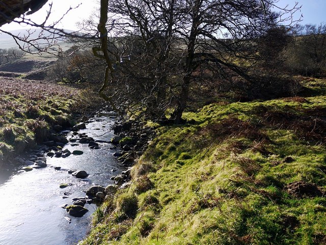
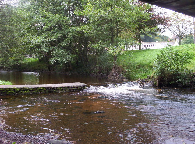
Harthope Burn is a small river in Northumberland. It flows roughly north-westerly for 9.5km (catchment area 18.9 km2)[1] before it joins Carey Burn at Skirl Naked to form Coldgate Water (later downstream known as Wooler Water).
from Geograph (geograph)
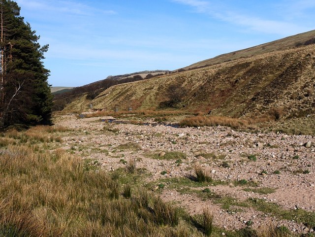
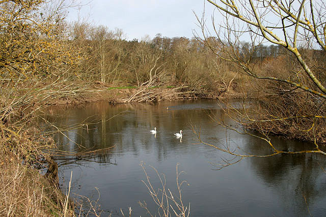
Flood plain of Harthope Burn near Langleeford Hope
Pinned by Simon Cotterill

from https://www.northumberlandnat…
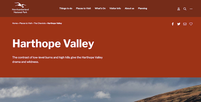
Harthope Valley
- "...Harthope Valley is the starting point for many inspiring walks up onto the Cheviot Hills. It lies south-west of Wooler. The contrast of low-level burns and high hills around it …
Added by
Simon Cotterill

from Geograph (geograph)
Flood plain of Harthope Burn near Langleeford Hope
Pinned by Simon Cotterill
from https://www.northumberlandnat…
Harthope Valley
- "...Harthope Valley is the starting point for many inspiring walks up onto the Cheviot Hills. It lies south-west of Wooler. The contrast of low-level burns and high hills around it …
Added by
Simon Cotterill


Grid ref:
NT9391121202


