Topics > County Durham > Staindrop
Staindrop
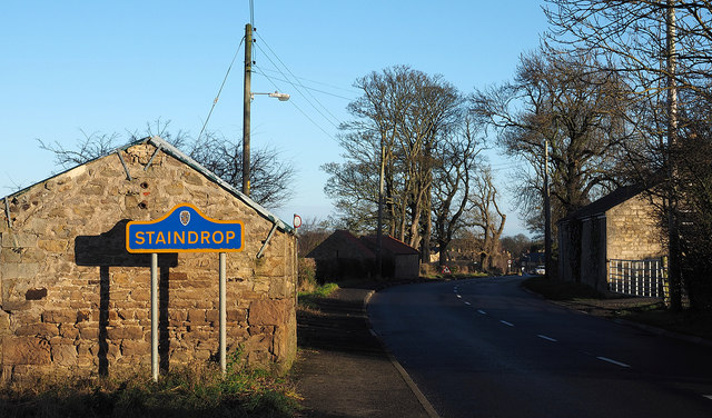
Staindrop is a village and civil parish east of Barnard Castle in County Durham, England. The population (including Cleatlam and Killerby) at the 2011 census was 1,310.
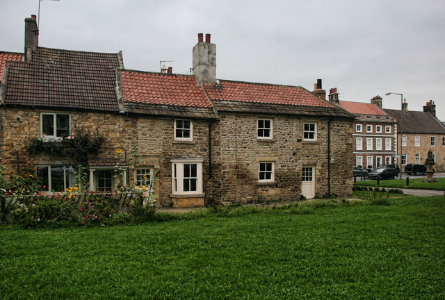
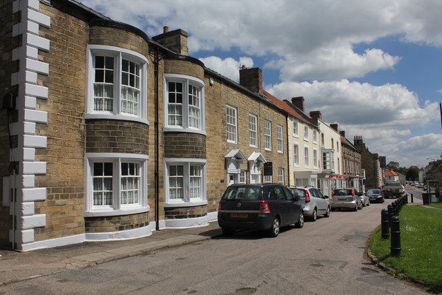
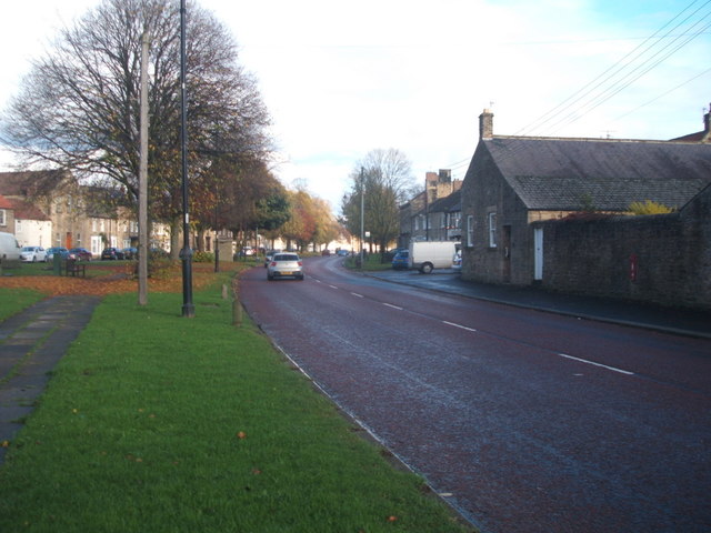
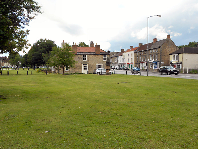
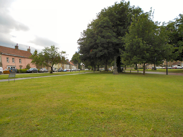
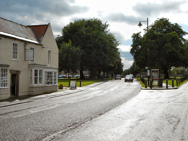
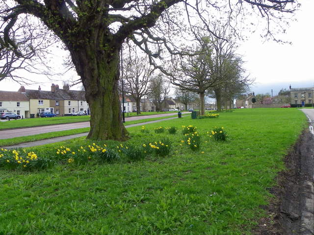
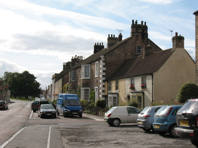
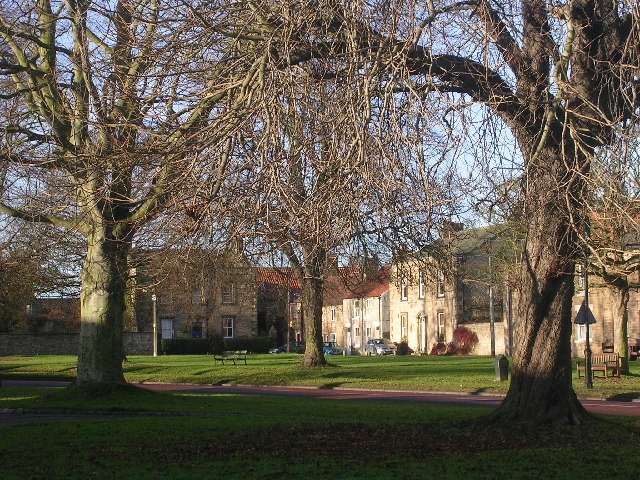
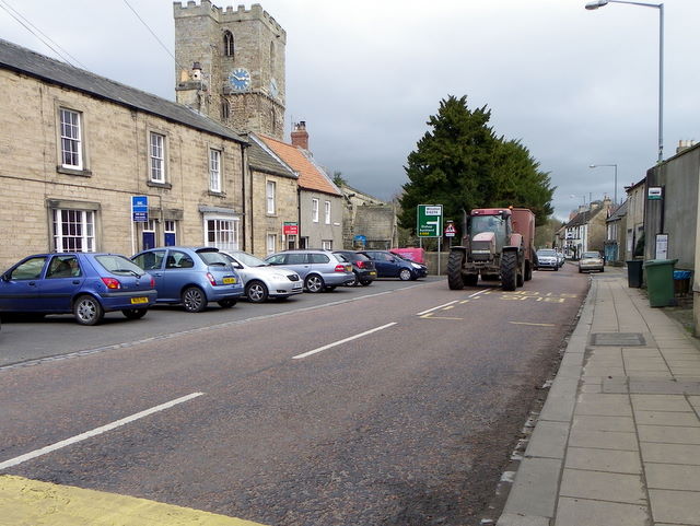
The village has one of the long greens typical of County Durham.
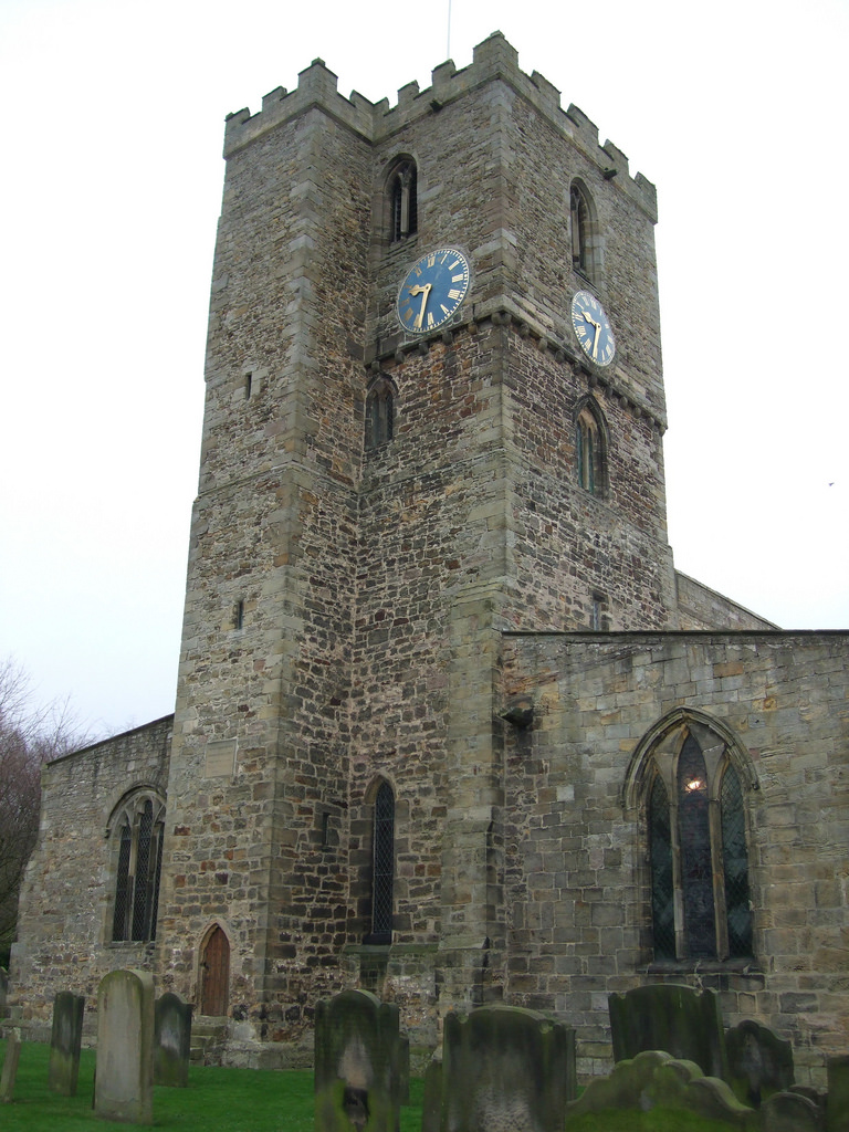
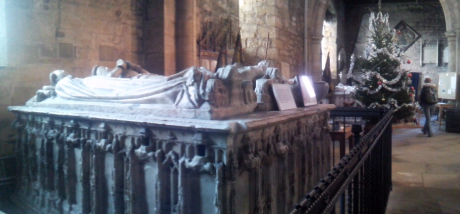
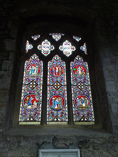
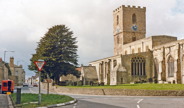
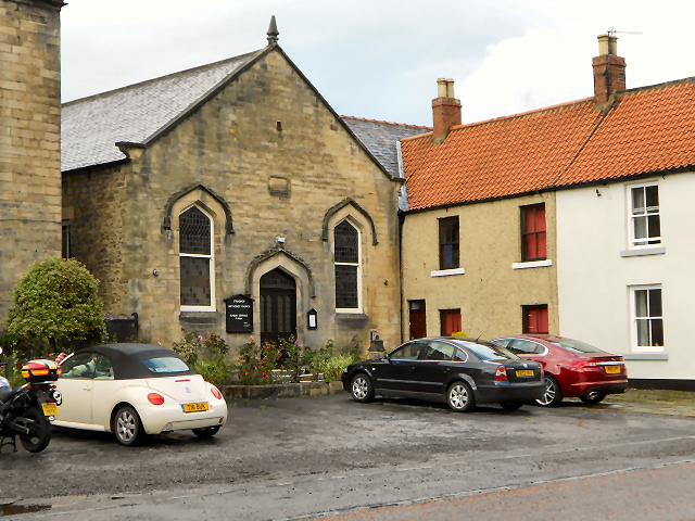
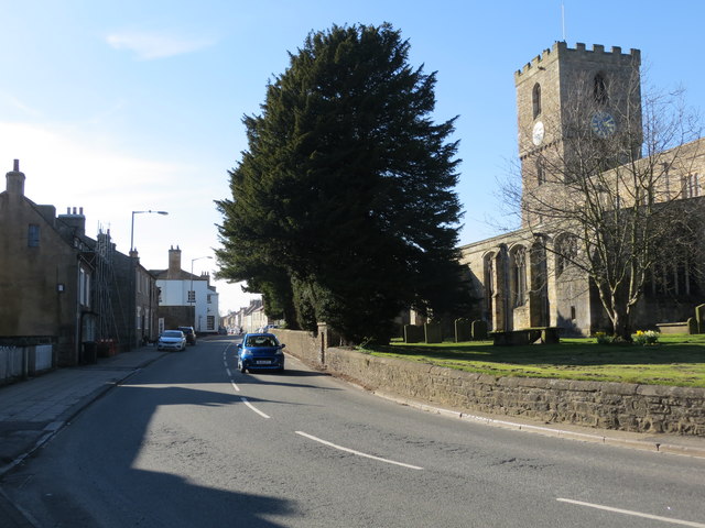
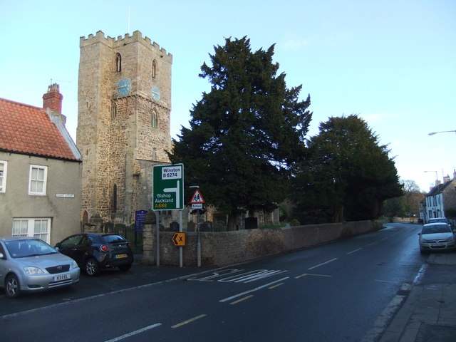
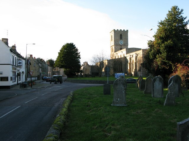
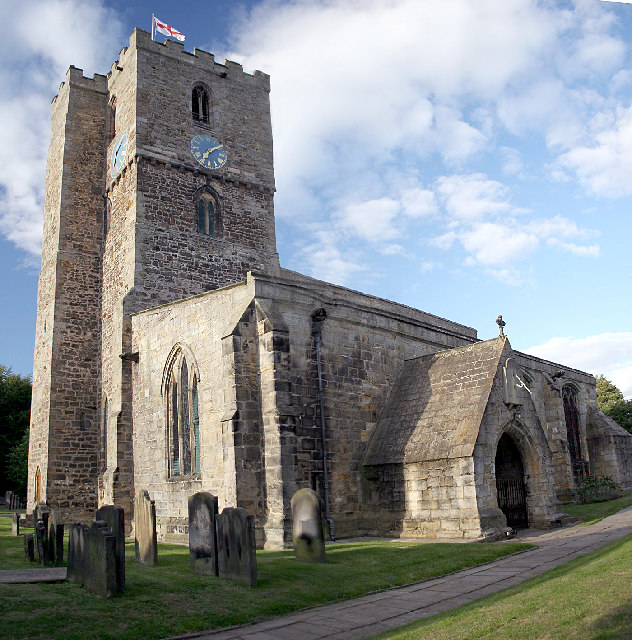
The oldest parts of the Church of England parish church of St Mary are Anglo-Saxon, built in the 10th or 11th century. The church contains monuments including effigies of members of the Neville family.
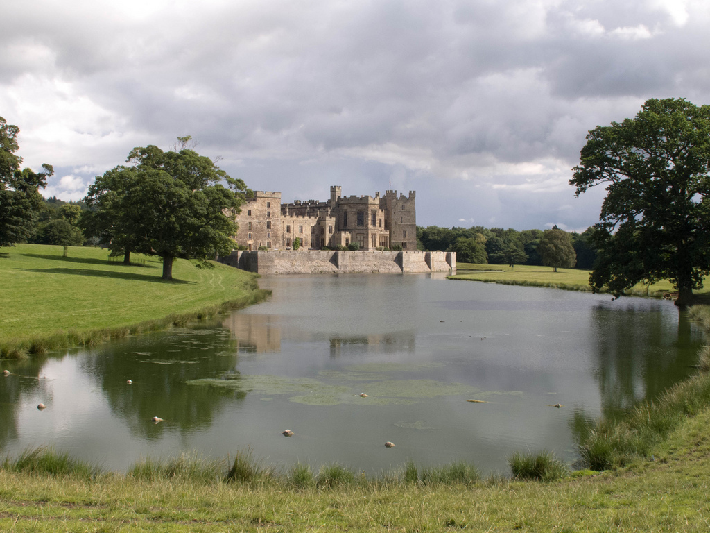
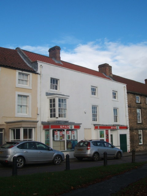
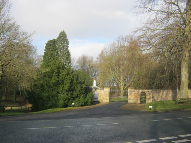
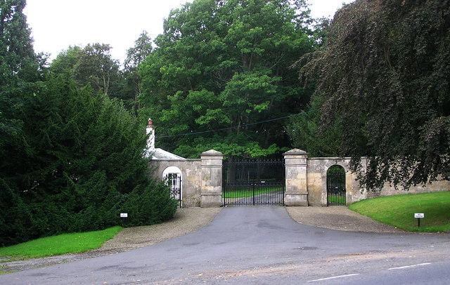
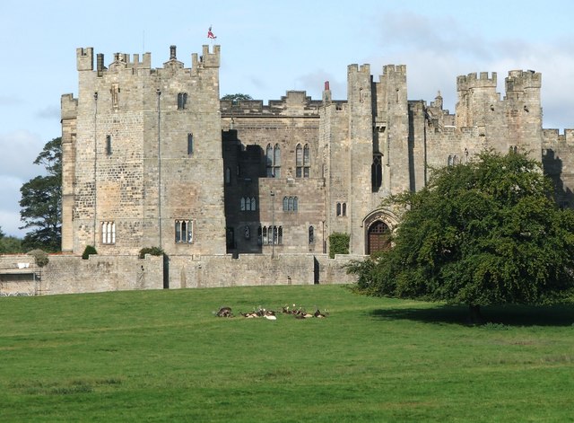
Raby Castle and its gardens are to the north of Staindrop. The village has a Spar shop and a post office.
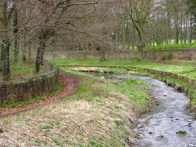
About north-west of the village is Raby Old Lodge, a medieval tower house built probably for the Neville family of Raby Castle. It was restored in the 19th century and now used as holiday accommodation.
The Deanery is home to Major William Kemp Trotter, a former Deputy Lieutenant of County Durham, and his wife Mary Holcroft.
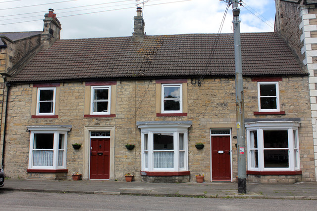
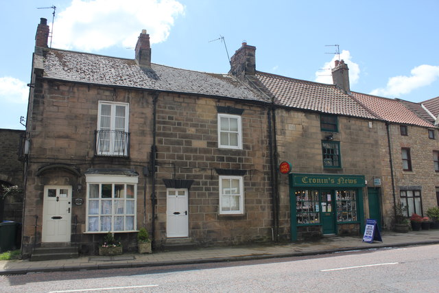
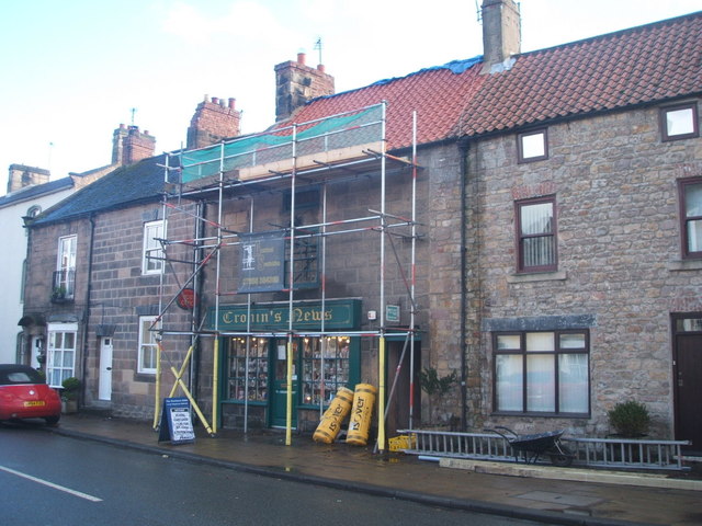
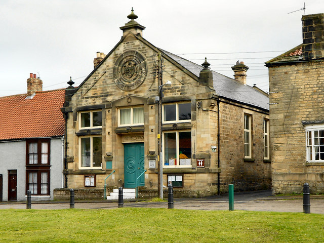
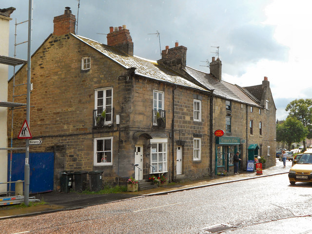
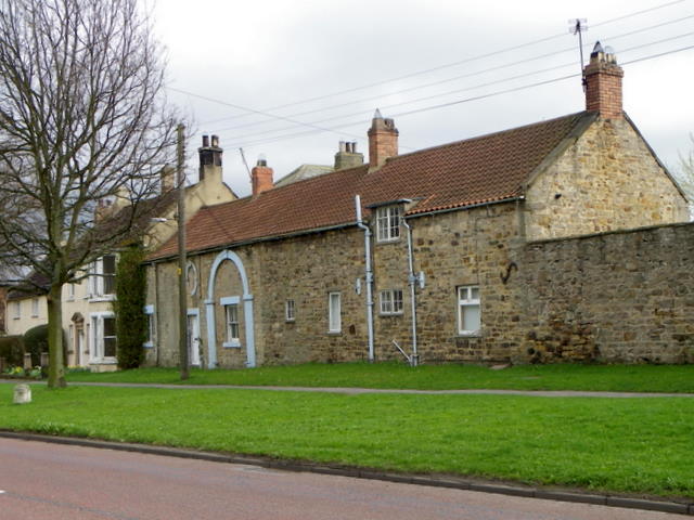
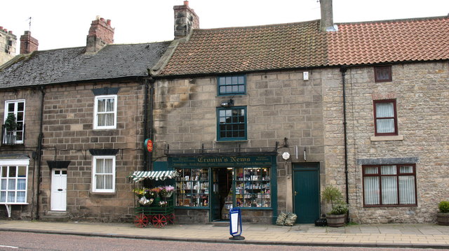
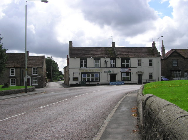
The village has a number of locally owned businesses including a local newsagent, the Cutting Room and a tea shop. It has a small industrial estate that is used by mainly local businesses such as joiners and plumbers.
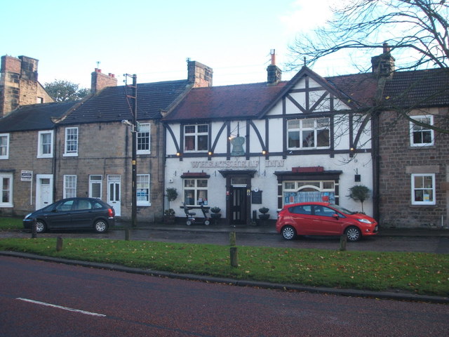
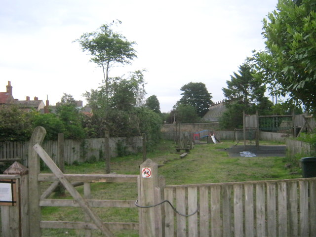
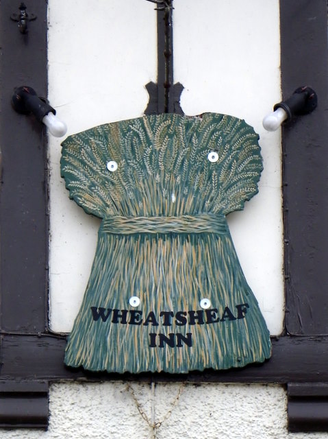
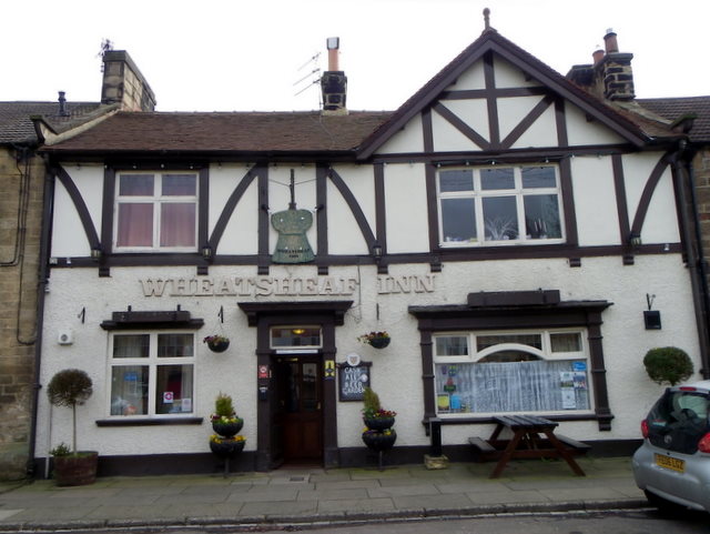
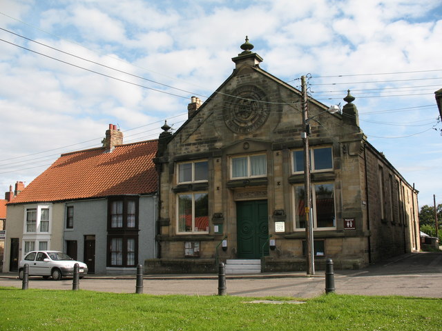
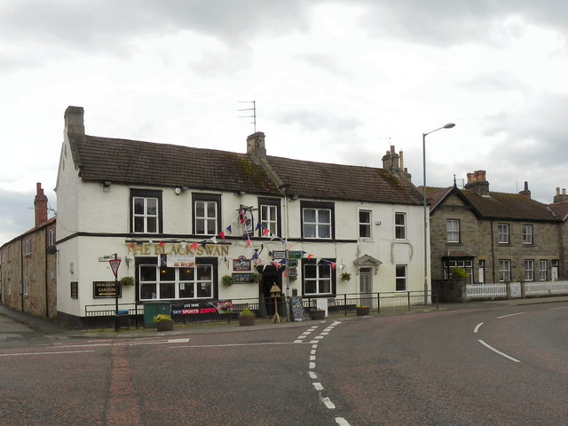
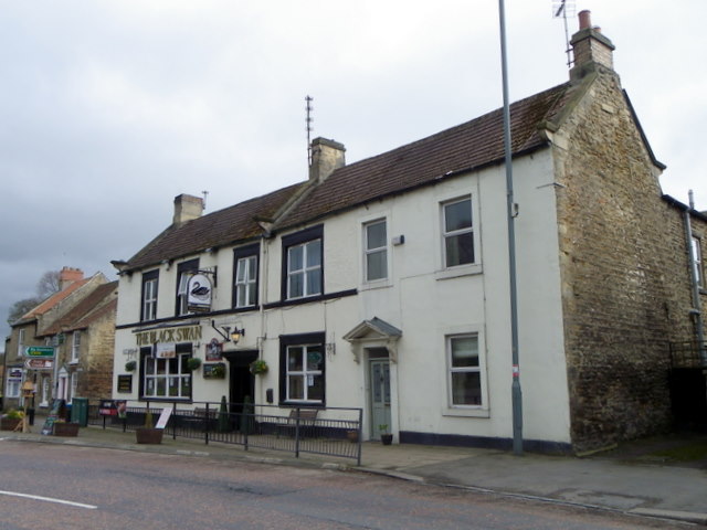
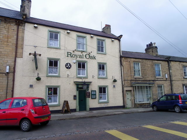
Staindrop has two schools: Staindrop Church of England Primary School and Staindrop School (secondary). It has one pub, the Wheatsheaf Inn, which villagers commonly refer to as the "Top House".
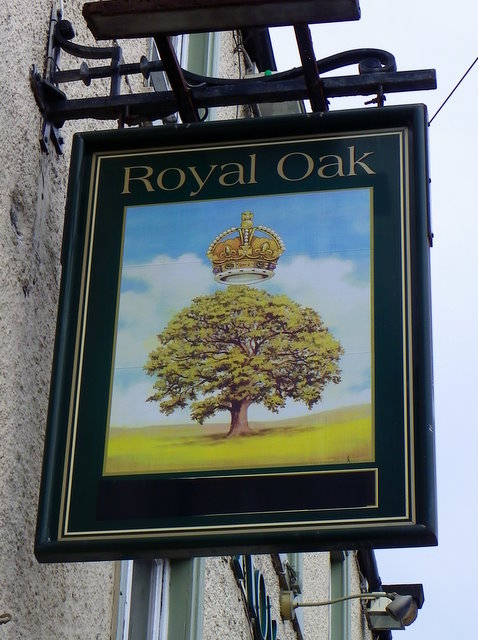
The surveyor Jeremiah Dixon, who with Charles Mason calculated and laid out the Mason–Dixon line in North America, is buried in Staindrop. His unmarked grave is in the Quaker burial ground adjoining the old Friends' Meeting House. Thomas Pynchon's historical fiction novel Mason & Dixon mentions Staindrop as containing Jeremiah Dixon's favourite public house.
Notable people
- Charles Bungay Fawcett (geographer)
- Charles Wilbraham Watson Ford (army officer)

from http://commons.wikimedia.org/…
Staindrop
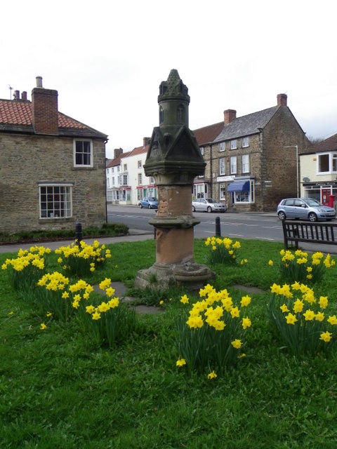
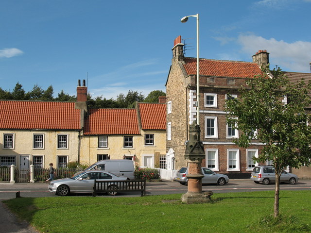
- Across the Green, Staindrop. A view across the green, with a Victorian water fountain near the centre of the photo.
Image from geograph.org.uk, CC BY-SA 2.0 - c/o Wikimedia
Added by
Simon Cotterill

from http://commons.wikimedia.org/…
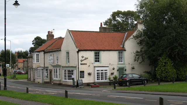
Staindrop
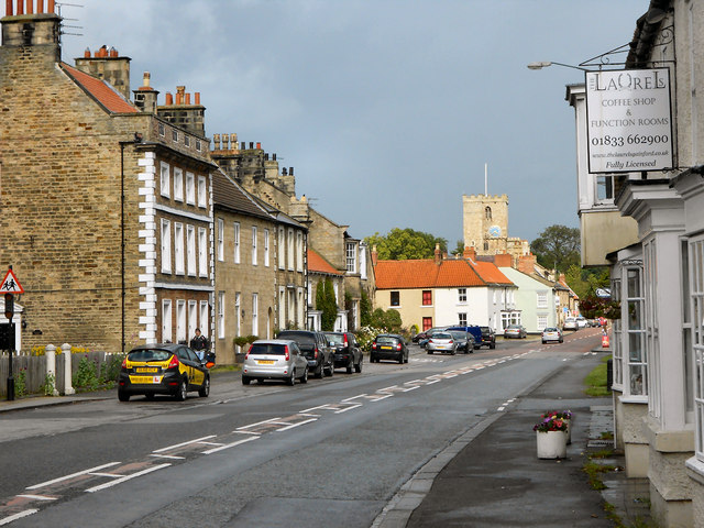
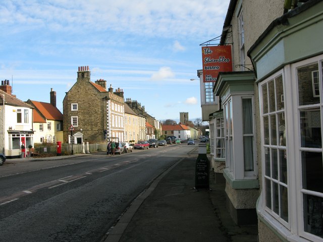
- The Shambles Bistro There were once nine pubs in Staindrop. Most have closed, but this one became a restaurant.
Added by
Simon Cotterill
from Geograph (geograph)
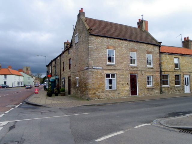
Staindrop: Front Street and St Mary's Church, 1989
Pinned by Simon Cotterill
from Geograph (geograph)
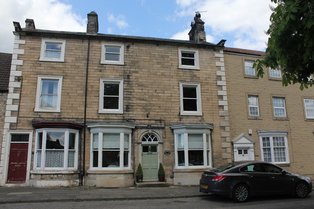
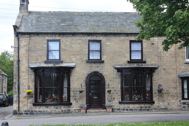
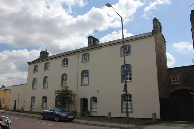
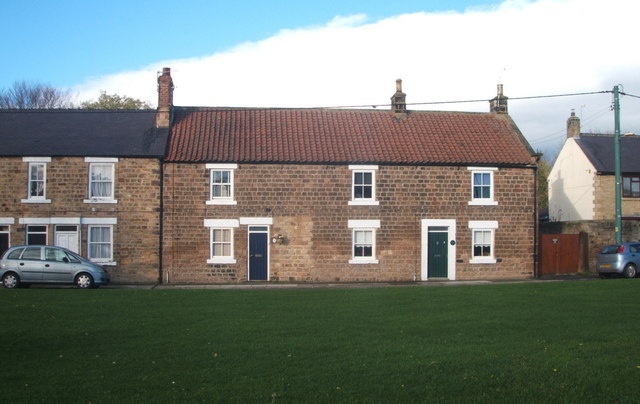
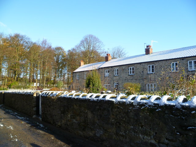
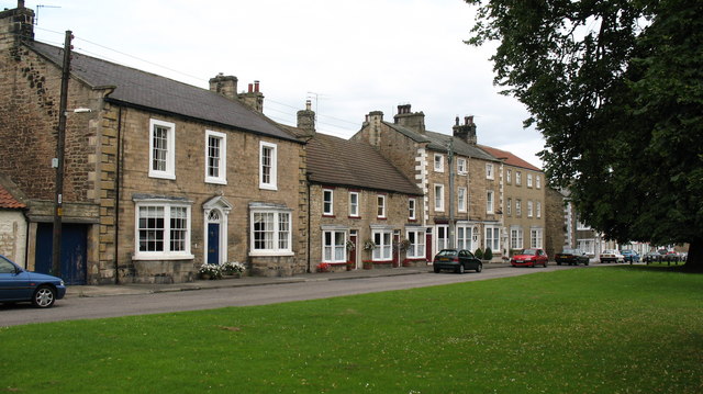
East and West Masham House, 8 and 9 North Green, Staindrop
Pinned by Peter Smith
from Geograph (geograph)
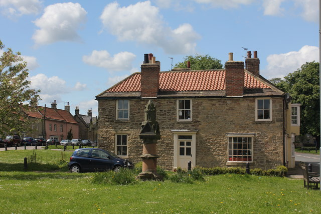
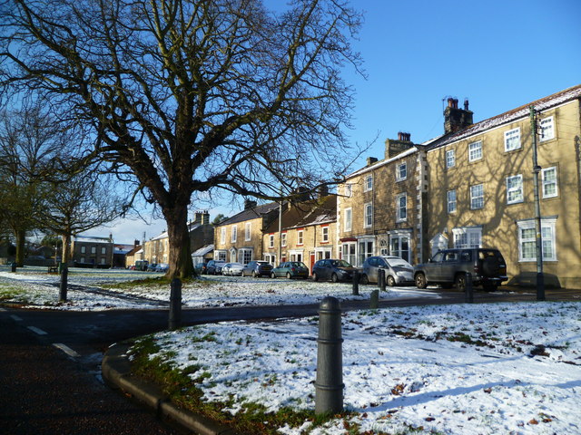
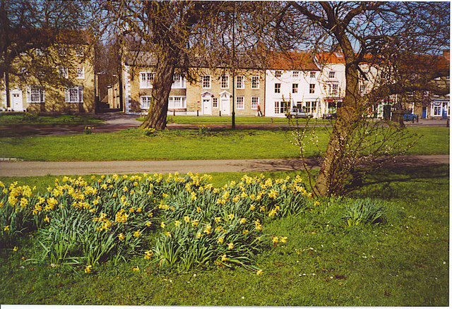
Memorial fountain and Central Buildings, The Green, Staindrop
Pinned by Peter Smith
from Geograph (geograph)
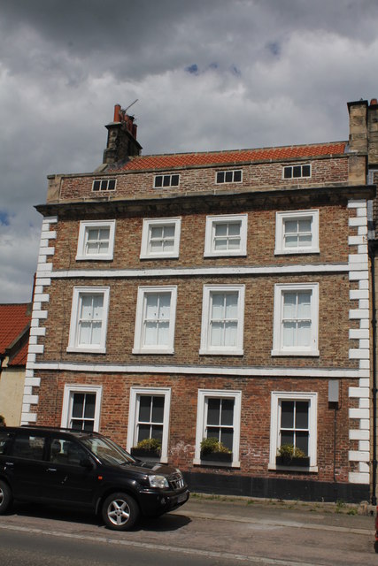
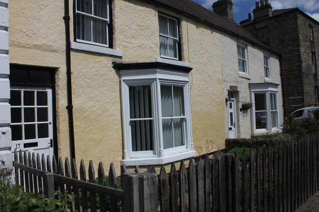
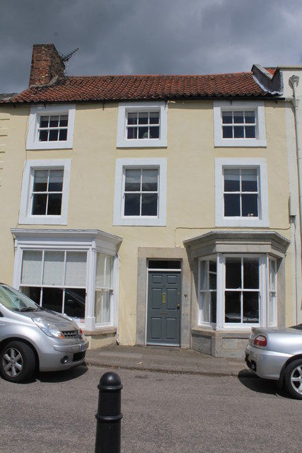
Topiary House 8 to Fair View, 2 Front Street, Staindrop
Pinned by Peter Smith
from Geograph (geograph)
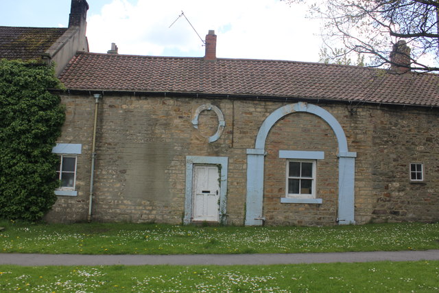
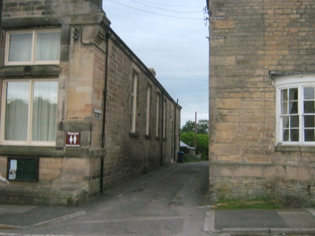
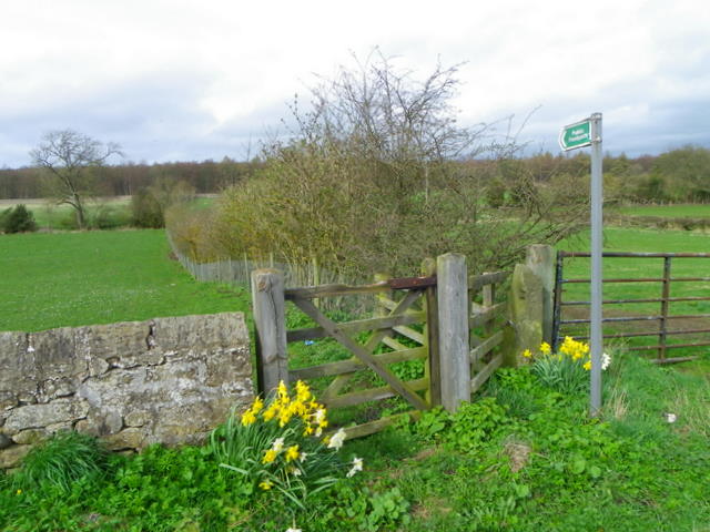
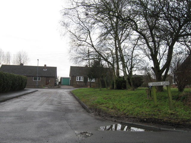
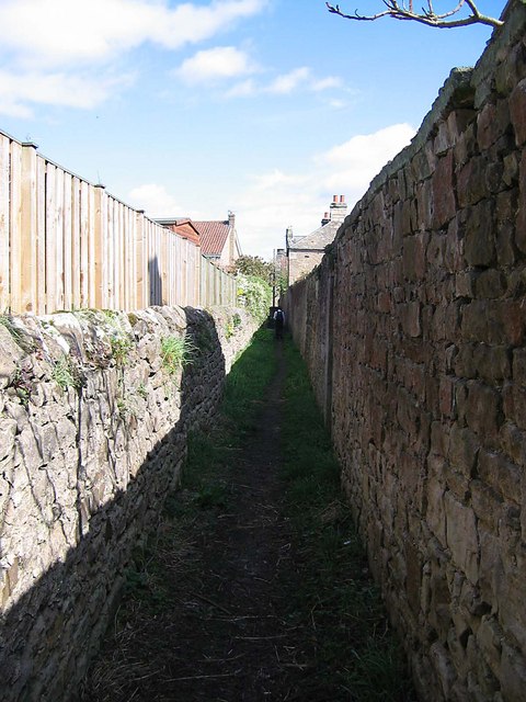
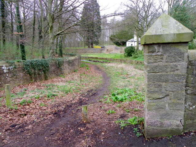
Stangarth Lane in Staindrop with public footpath status
Pinned by Peter Smith

from http://commons.wikimedia.org/…
Staindrop
- Across the Green, Staindrop. A view across the green, with a Victorian water fountain near the centre of the photo.
Image from geograph.org.uk, CC BY-SA 2.0 - c/o Wikimedia
Added by
Simon Cotterill
from http://commons.wikimedia.org/…
Staindrop
- The Shambles Bistro There were once nine pubs in Staindrop. Most have closed, but this one became a restaurant.
Added by
Simon Cotterill
from Geograph (geograph)
Staindrop: Front Street and St Mary's Church, 1989
Pinned by Simon Cotterill
from Geograph (geograph)
East and West Masham House, 8 and 9 North Green, Staindrop
Pinned by Peter Smith
from Geograph (geograph)
Memorial fountain and Central Buildings, The Green, Staindrop
Pinned by Peter Smith
from Geograph (geograph)
Topiary House 8 to Fair View, 2 Front Street, Staindrop
Pinned by Peter Smith
from Geograph (geograph)
Stangarth Lane in Staindrop with public footpath status
Pinned by Peter Smith


