Topics > Tyne and Wear > Newcastle upon Tyne > Elswick > Skinnerburn Road
Skinnerburn Road
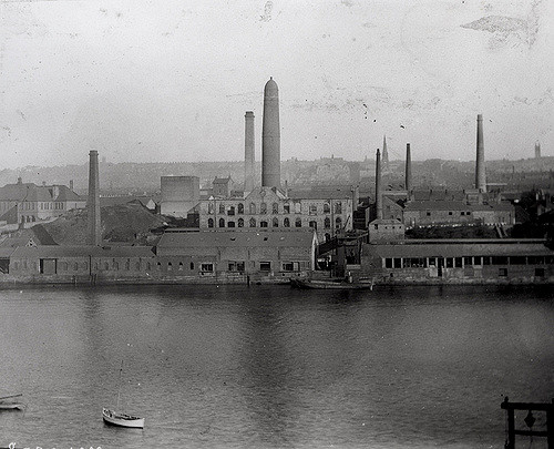
Skinner Burn is a stream which used to form the boundry between Newcastle and Elswick. Skinnerburn road runs along the side of the River Tyne west of where the burn joins the river. There was intensive industrial development in the area during the late 18th and early 19th centuries. This included the Elswick Lead Works, established in 1778.
from Newcastle libraries (flickr)
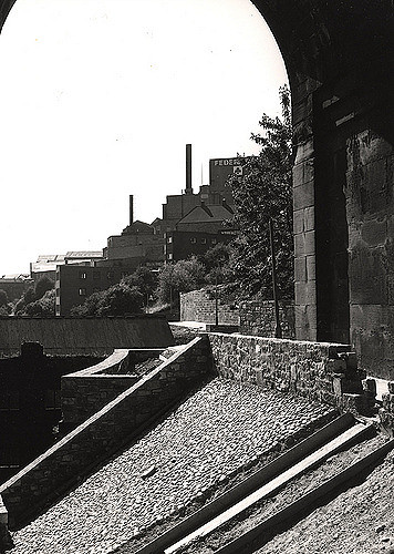
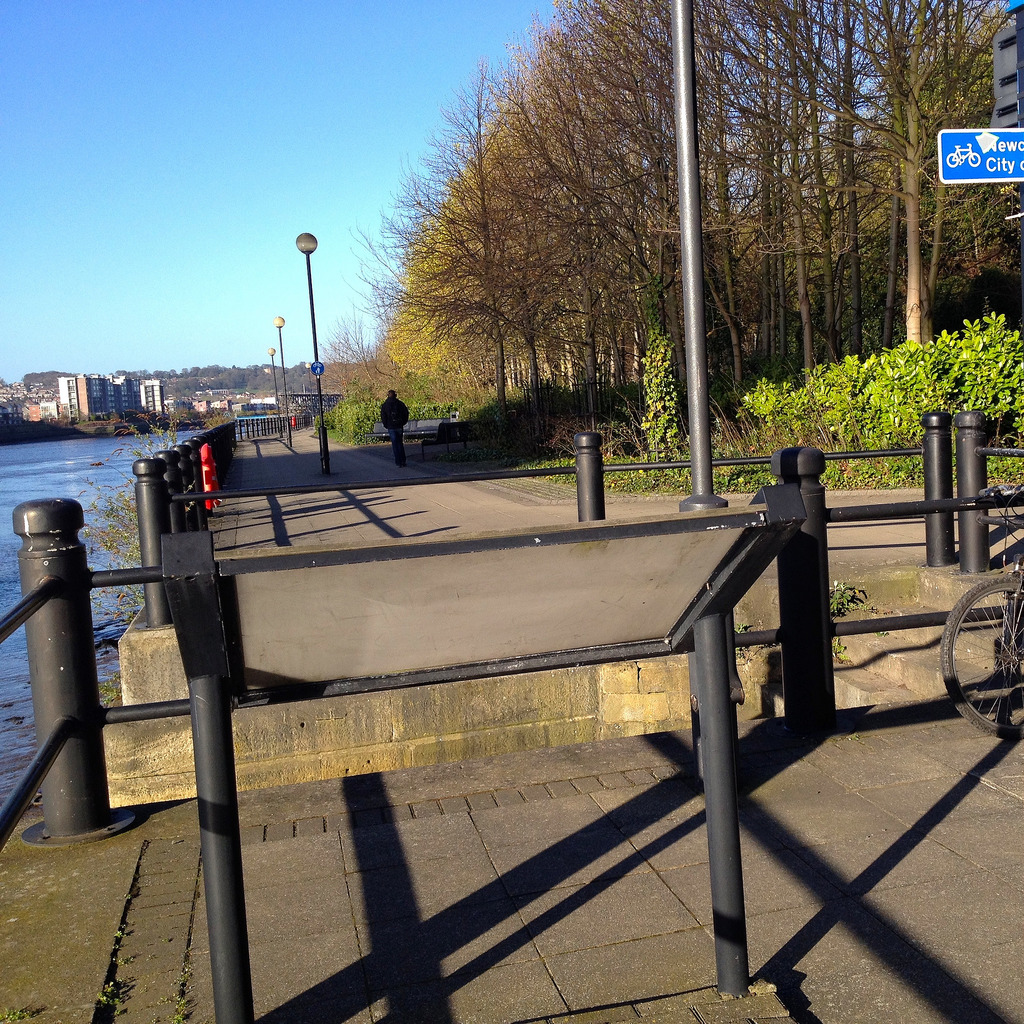
043262:Quayside above The Close Newcastle upon Tyne City Engineers 1972
Pinned by Simon Cotterill
from Newcastle libraries (flickr)
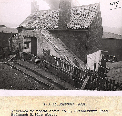
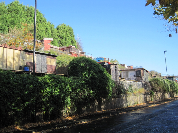
036212:Shot Factory Lane Newcastle upon Tyne Dept of Environmental Health c.1936
Pinned by Simon Cotterill
from Geograph (geograph)
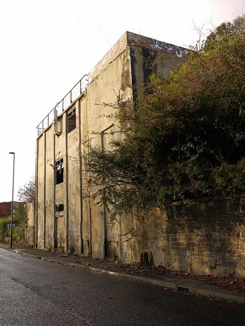
Derelict building of the Elswick Lead Works on Skinnerburn Road
Pinned by Simon Cotterill
Co-Curate Page
Skinner Burn
- Skinner Burn is a 'hidden' stream which feeds into the River Tyne. The valley of the Skinner Burn was gradually infilled from the 18th century and the stream was culverted …
from Geograph (geograph)
Remaining building at Elswick Lead Works, Skinnerburn Road
Pinned by Simon Cotterill
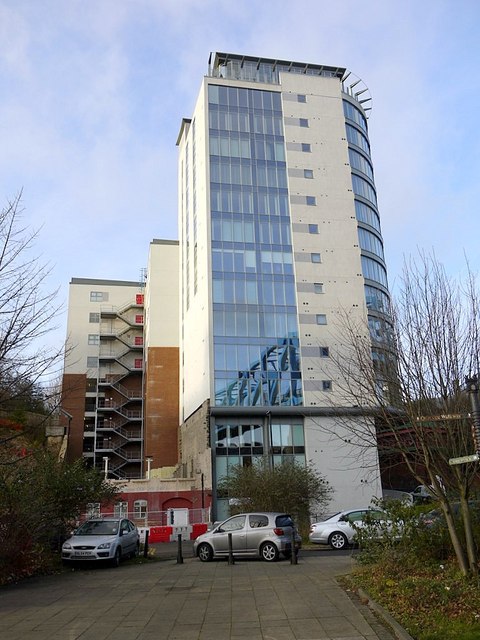
from Geograph (geograph)
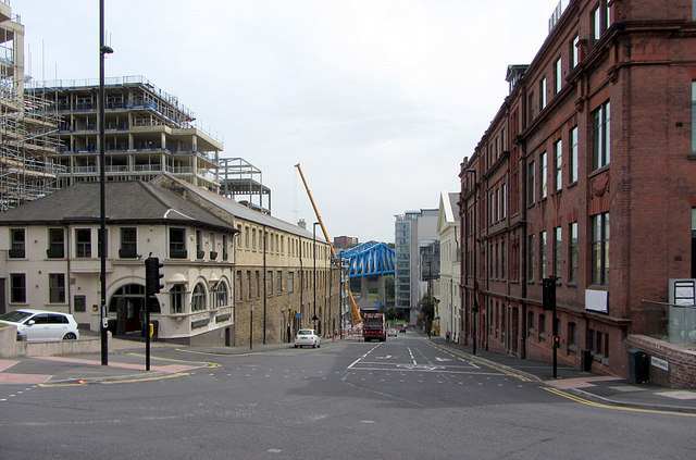
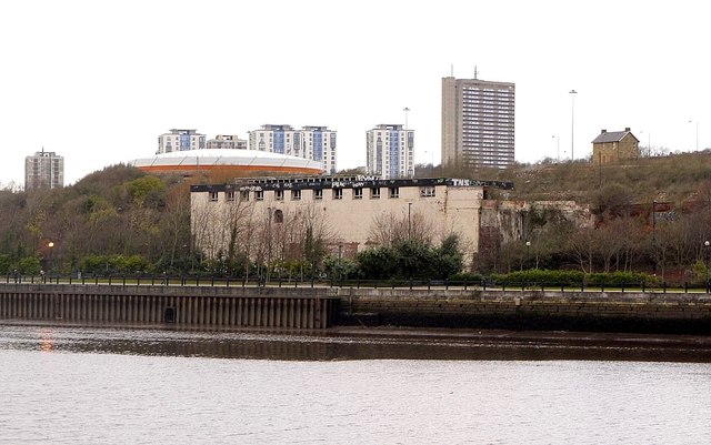
Development at junction of Skinnerburn Road and Forth Banks
Pinned by Simon Cotterill

from Newcastle libraries (flickr)
043262:Quayside above The Close Newcastle upon Tyne City Engineers 1972
Pinned by Simon Cotterill
from Newcastle libraries (flickr)
036212:Shot Factory Lane Newcastle upon Tyne Dept of Environmental Health c.1936
Pinned by Simon Cotterill
from Geograph (geograph)
Derelict building of the Elswick Lead Works on Skinnerburn Road
Pinned by Simon Cotterill
Co-Curate Page
Skinner Burn
- Skinner Burn is a 'hidden' stream which feeds into the River Tyne. The valley of the Skinner Burn was gradually infilled from the 18th century and the stream was culverted …
from Geograph (geograph)
Remaining building at Elswick Lead Works, Skinnerburn Road
Pinned by Simon Cotterill
from Geograph (geograph)
Development at junction of Skinnerburn Road and Forth Banks
Pinned by Simon Cotterill