Topics > Newcastle City Centre > Streets > Forth Banks
Forth Banks
 |
 |
 |
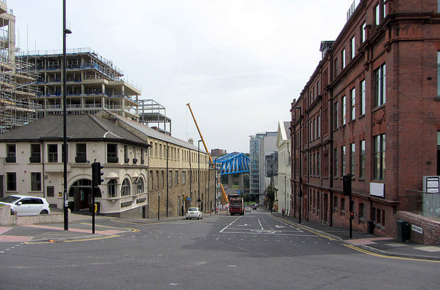 |
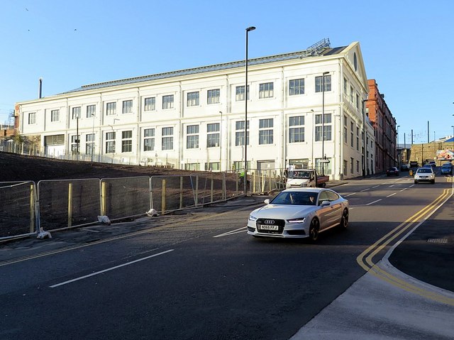
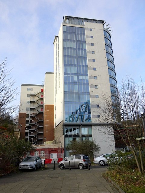
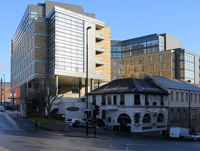
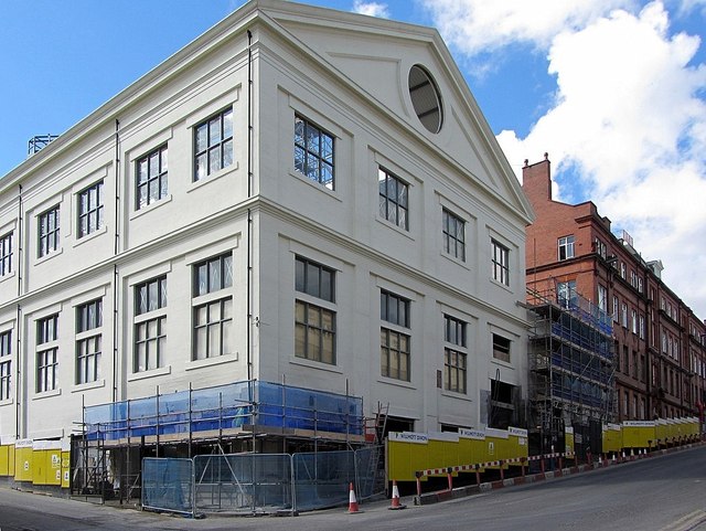
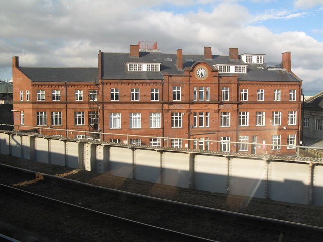
| Old Infirmary | Stephenson Works | Power Station | Hawthorne House |
 |
 |
 |
|
| Sachins | Forth Banks House | King's House |
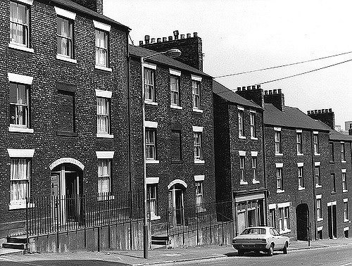
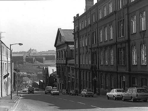
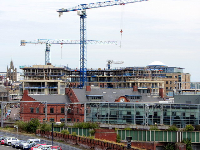
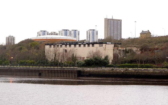
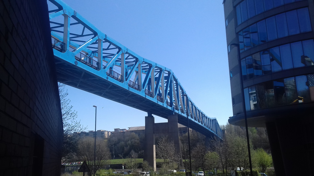
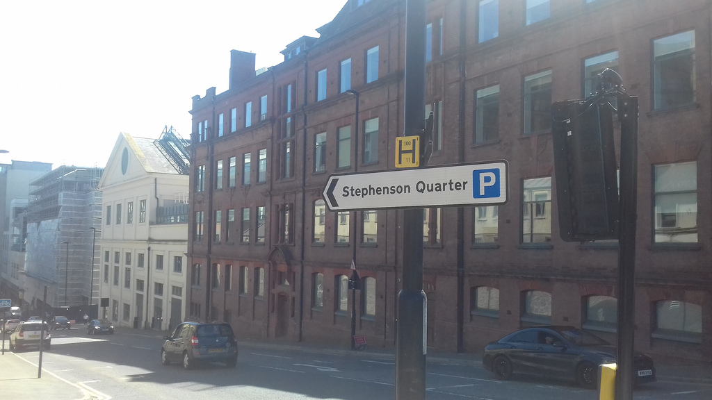
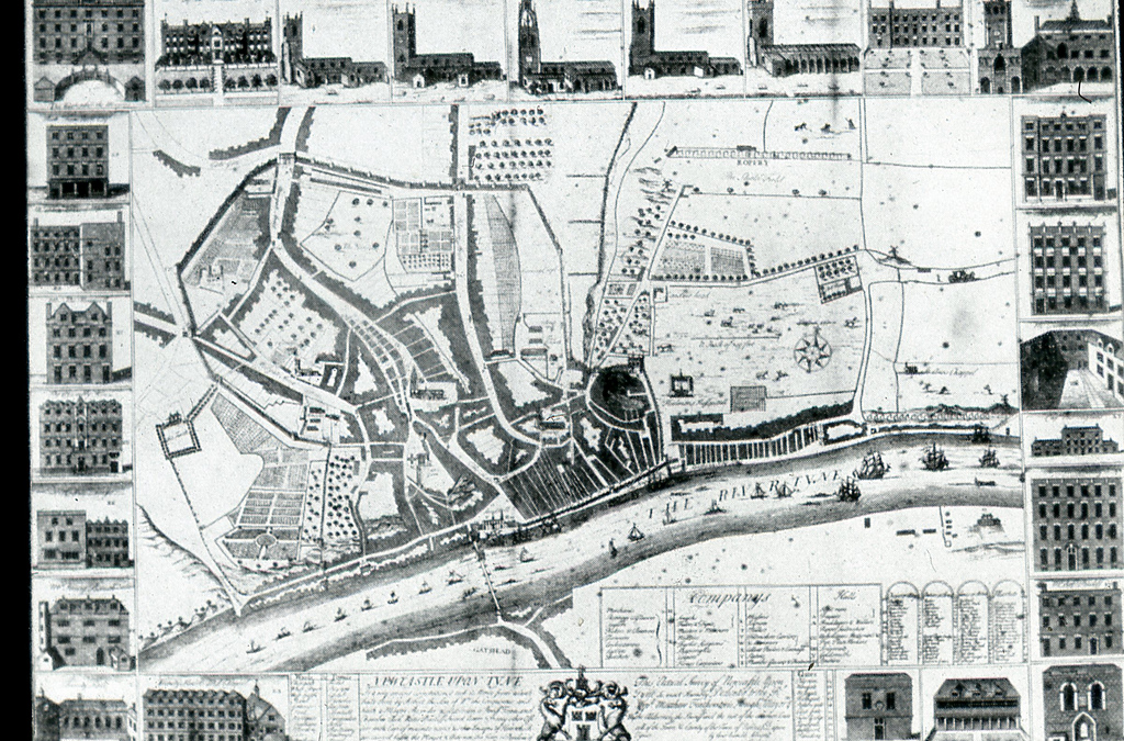
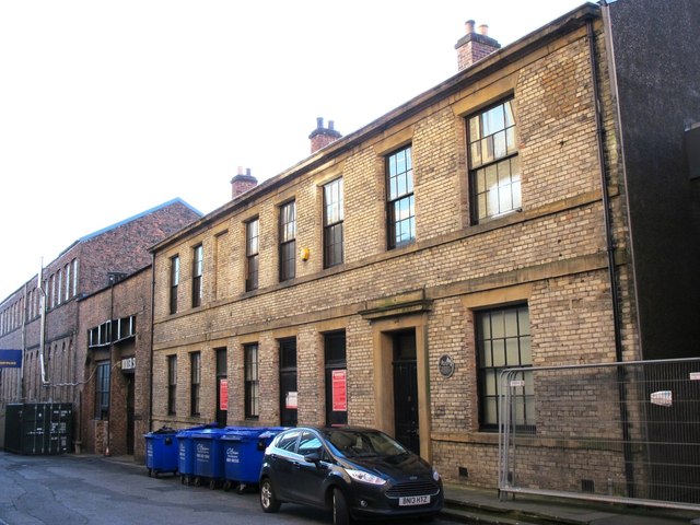
There has been a great deal of change to Forth Banks over the years. The upper section of Forth Banks, north of the underpass under the railway, used to join Neville Street, just east of the station. However, the road now runs west to join Railway Street. The area around Forth Banks declined during the 20th century and some of the industrial buildings became derelict. However, the area has seen regeneration as the 'Stephenson Quarter', with both new buildings, such as the Crowne Plaza Hotel, and renovation of some of the older buildings.
from Newcastle libraries (flickr)
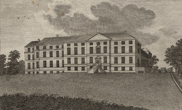
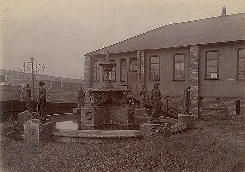
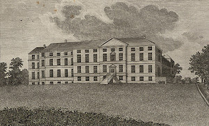
049589:The Infirmary Forth Banks Newcastle upon Tyne Muss B. c.1795
Pinned by Simon Cotterill
from Newcastle libraries (flickr)
003071:Infirmary Forth Banks Newcastle upon Tyne Unknown c.1900
Pinned by Simon Cotterill
from Newcastle libraries (flickr)
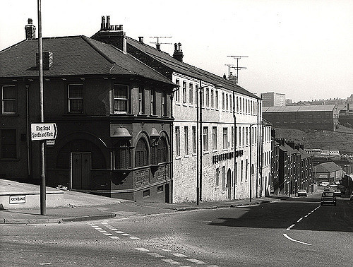
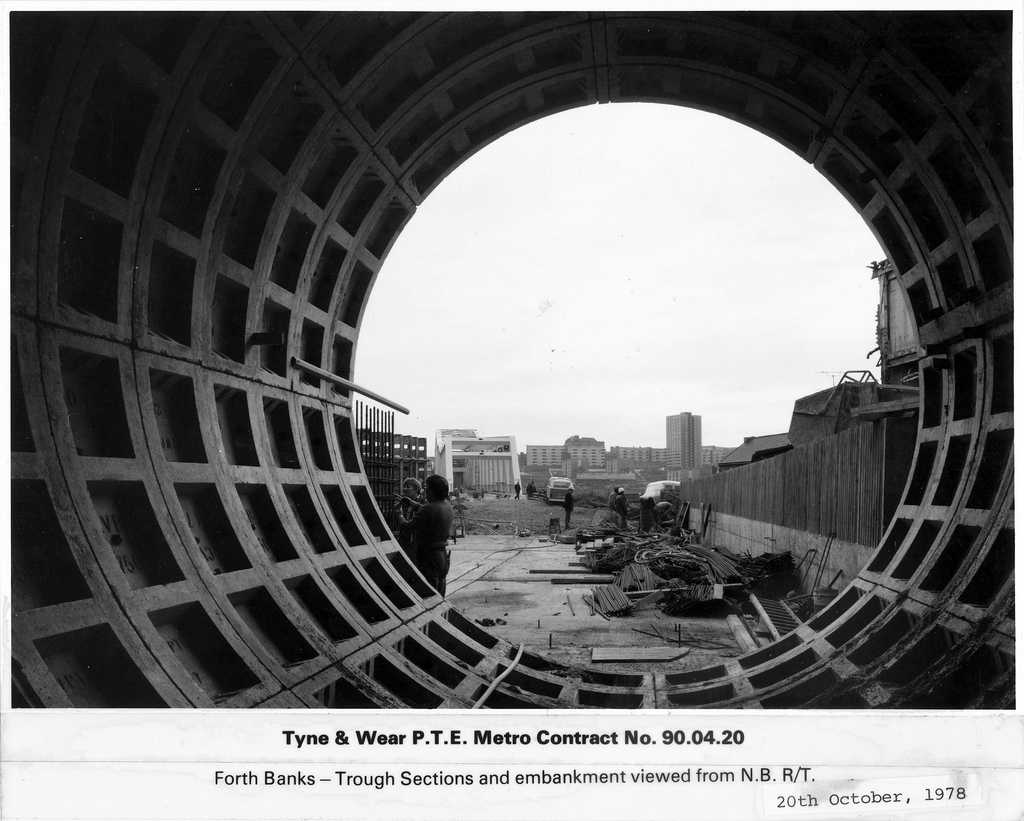
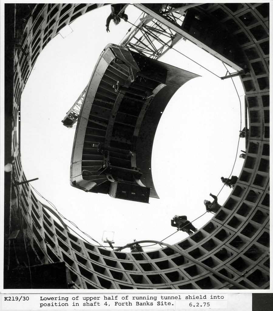
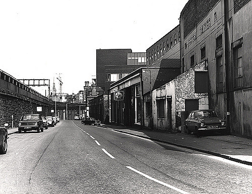
023302:Forths Banks Central Newcastle Upon Tyne City Engineers 1975
Pinned by Simon Cotterill
from Newcastle libraries (flickr)
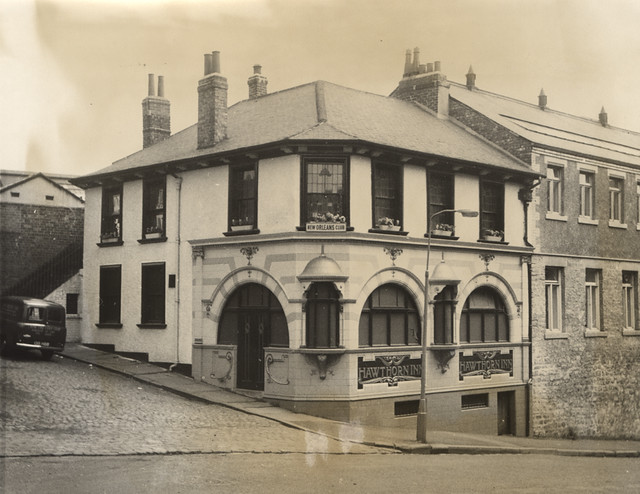
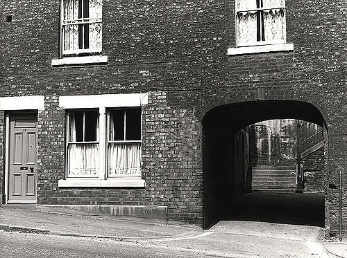
714533:Hawthorn Inn Forth Banks. Unknown. 1966.
Pinned by Simon Cotterill
from Newcastle libraries (flickr)
023315:Forth Banks Central Newcastle Upon Tyne City Engineers 1975
Pinned by Simon Cotterill
from Newcastle libraries (flickr)
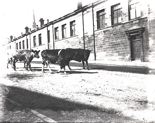
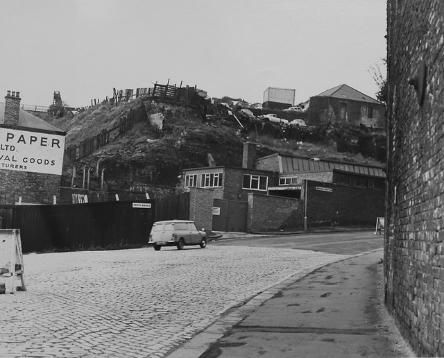
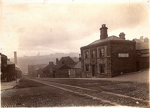
040834:Forth Banks Newcastle upon Tyne Unknown c.1900
Pinned by Simon Cotterill
from Newcastle libraries (flickr)
023316:Forth Banks Newcastle upon Tyne City Engineers 1975
Pinned by Simon Cotterill
from Newcastle libraries (flickr)
023301:Forth Banks Newcastle upon Tyne City Engineers 1975
Pinned by Simon Cotterill
from Newcastle libraries (flickr)
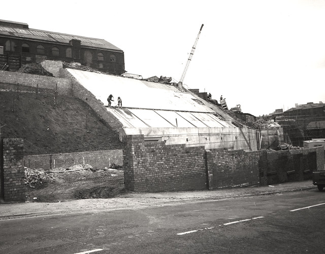
715657:Forth Banks Newcastle upon Tyne Unknown 1973
Pinned by Simon Cotterill
from Newcastle libraries (flickr)
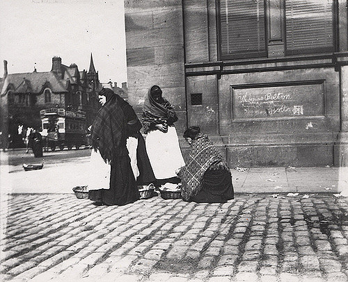
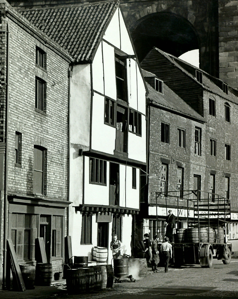
035602:Fishwives selling fish on the corner of Neville Street and Forth Banks, Newcastle upon Tyne c.1890
Pinned by Simon Cotterill
from Newcastle libraries (flickr)
Tor259, Forth Banks, Newcastle upon Tyne
Pinned by Simon Cotterill

from Geograph (geograph)
Development at junction of Skinnerburn Road and Forth Banks
Pinned by Simon Cotterill
from Geograph (geograph)
Junction of Forth Banks & Forth Street, Newcastle upon Tyne
Pinned by Simon Cotterill
Co-Curate Page
Skinnerburn Road
- Skinner Burn is a stream which used to form the boundry between Newcastle and Elswick. Skinnerburn road runs along the side of the River Tyne west of where the burn joins the …
Co-Curate Page
Close
- Overview Map Street View Close is a street in the Quayside area of Newcastle upon Tyne. It runs south west from Sandhill to Forth Banks and Skinnerburn Road. Close was …
Co-Curate Page
Forth Street
- "Forth Street was laid out 1811 as an extension of the medieval street called The Postern to link to Forth Banks...It was moved south before 1896 as a result of …
Co-Curate Page
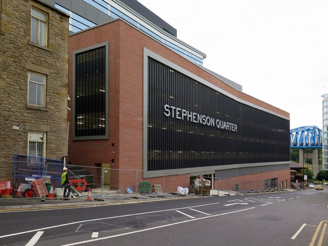
Stephenson Quarter
- A mixed-use development centred around the historic Robert Stephenson & Co. Locomotive Works. The development is led by the Clouston Group and includes: Crowne Plaza Hotel Rocket & Multi-Storey Car …
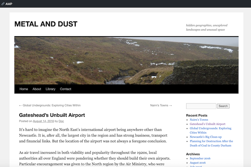
from https://metalanddust.org/2016…
Newcastle’s Secret Park and the Hidden History of City Fun
- "Most Newcastle residents are familiar with Leazes Park, Exhibition Park, Gosforth Park and Jesmond Dene. But few are aware that there’s a park hidden away in central Newcastle.....The Redheugh Bridge …
Added by
Peter Smith

from Newcastle libraries (flickr)
049589:The Infirmary Forth Banks Newcastle upon Tyne Muss B. c.1795
Pinned by Simon Cotterill
from Newcastle libraries (flickr)
003071:Infirmary Forth Banks Newcastle upon Tyne Unknown c.1900
Pinned by Simon Cotterill
from Newcastle libraries (flickr)
023302:Forths Banks Central Newcastle Upon Tyne City Engineers 1975
Pinned by Simon Cotterill
from Newcastle libraries (flickr)
714533:Hawthorn Inn Forth Banks. Unknown. 1966.
Pinned by Simon Cotterill
from Newcastle libraries (flickr)
023315:Forth Banks Central Newcastle Upon Tyne City Engineers 1975
Pinned by Simon Cotterill
from Newcastle libraries (flickr)
040834:Forth Banks Newcastle upon Tyne Unknown c.1900
Pinned by Simon Cotterill
from Newcastle libraries (flickr)
023316:Forth Banks Newcastle upon Tyne City Engineers 1975
Pinned by Simon Cotterill
from Newcastle libraries (flickr)
023301:Forth Banks Newcastle upon Tyne City Engineers 1975
Pinned by Simon Cotterill
from Newcastle libraries (flickr)
715657:Forth Banks Newcastle upon Tyne Unknown 1973
Pinned by Simon Cotterill
from Newcastle libraries (flickr)
035602:Fishwives selling fish on the corner of Neville Street and Forth Banks, Newcastle upon Tyne c.1890
Pinned by Simon Cotterill
from Newcastle libraries (flickr)
Tor259, Forth Banks, Newcastle upon Tyne
Pinned by Simon Cotterill
from Geograph (geograph)
Development at junction of Skinnerburn Road and Forth Banks
Pinned by Simon Cotterill
from Geograph (geograph)
Junction of Forth Banks & Forth Street, Newcastle upon Tyne
Pinned by Simon Cotterill
Co-Curate Page
Skinnerburn Road
- Skinner Burn is a stream which used to form the boundry between Newcastle and Elswick. Skinnerburn road runs along the side of the River Tyne west of where the burn joins the …
Co-Curate Page
Close
- Overview Map Street View Close is a street in the Quayside area of Newcastle upon Tyne. It runs south west from Sandhill to Forth Banks and Skinnerburn Road. Close was …
Co-Curate Page
Forth Street
- "Forth Street was laid out 1811 as an extension of the medieval street called The Postern to link to Forth Banks...It was moved south before 1896 as a result of …
Co-Curate Page
Stephenson Quarter
- A mixed-use development centred around the historic Robert Stephenson & Co. Locomotive Works. The development is led by the Clouston Group and includes: Crowne Plaza Hotel Rocket & Multi-Storey Car …
from https://metalanddust.org/2016…
Newcastle’s Secret Park and the Hidden History of City Fun
- "Most Newcastle residents are familiar with Leazes Park, Exhibition Park, Gosforth Park and Jesmond Dene. But few are aware that there’s a park hidden away in central Newcastle.....The Redheugh Bridge …
Added by
Peter Smith
Newcastle City Centre
Streets of Newcastle City Centre
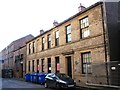
Former Hawthorne Inn, Forth Banks, Newcastle
Forth Banks House, Newcastle
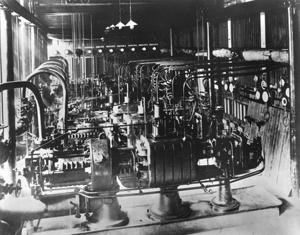
Forth Banks Power Station (1890 - 1907)
Hawthorne House, Forth Banks, Newcastle
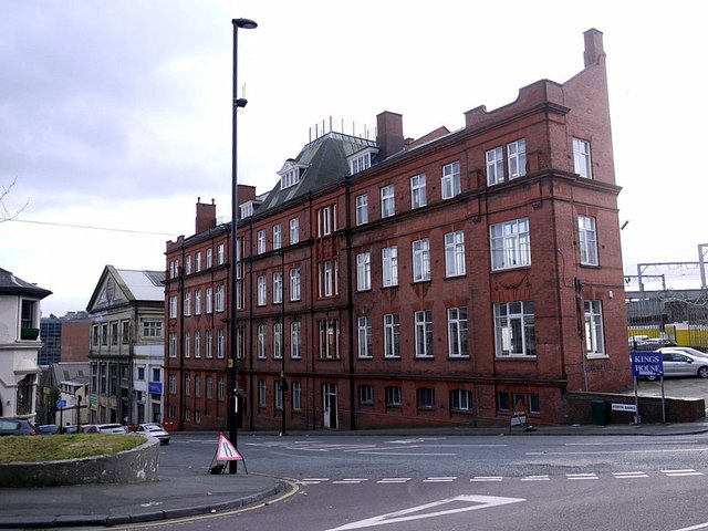
King's House, Forth Banks, Newcastle
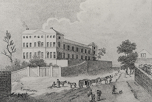
Old Infirmary, Forth Banks
Stephenson Works, Forth Banks, Newcastle