Topics > Northumberland > Rochester
Rochester
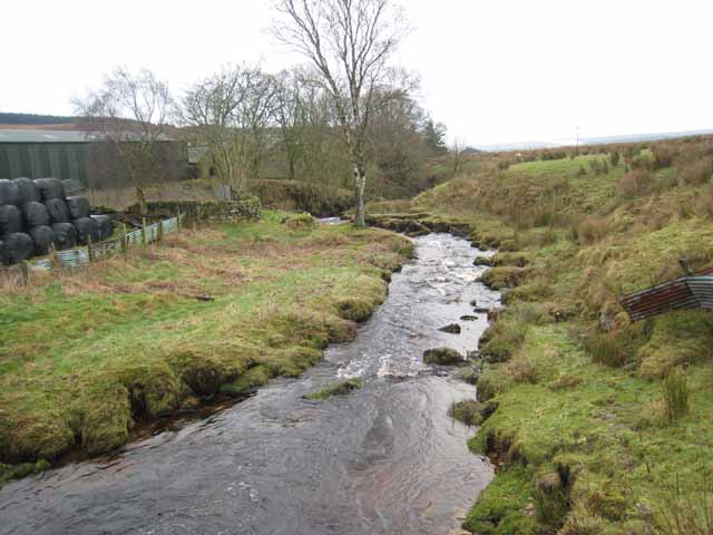
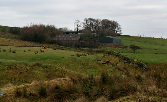
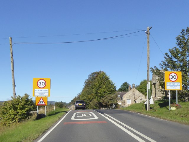
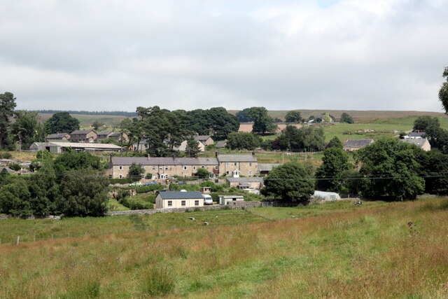
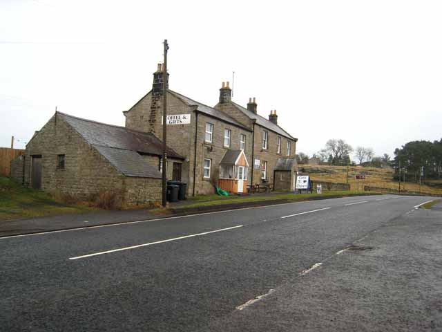
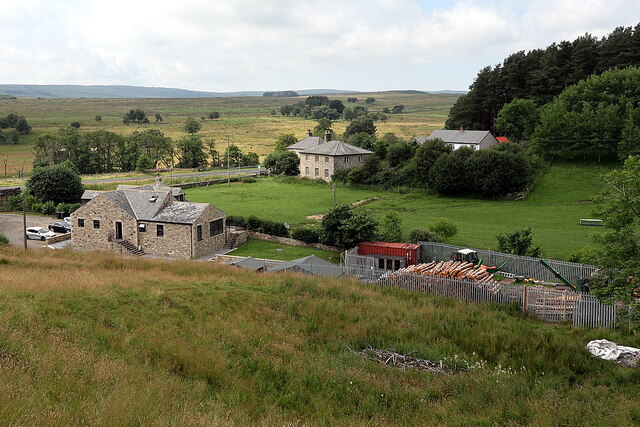
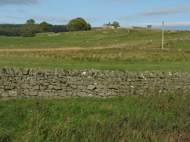
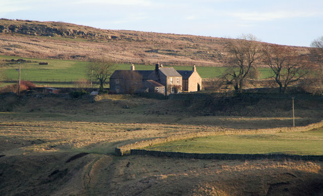
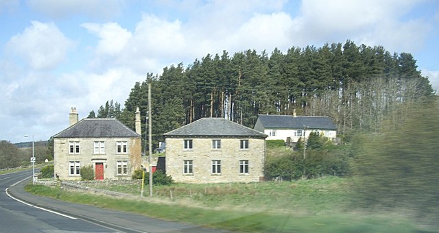
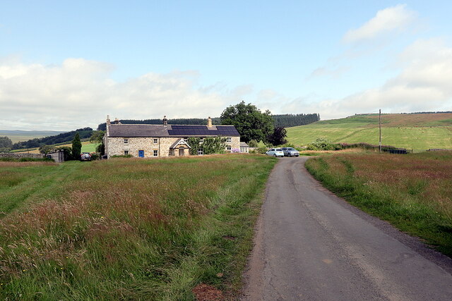
Rochester is a small village and civil parish in north Northumberland, England. It is five miles north-west of Otterburn on the A68 road between Corbridge and Jedburgh. The village is the site of the Roman fort of Bremenium, built there to protect the important Roman road of Dere Street, which passes through the village.
The civil parish extends north west of the village to the Scottish border. It includes the settlements of Byrness, Ramshope and Cottonshopeburnfoot, and the now closed Redesdale Camp, an army base in the Otterburn Training Area. In the 2001 census (when Redesdale Camp was open) the parish had a population of 358, reducing to 344 at the 2011 Census.
Governance
Rochester is in the parliamentary constituency of Hexham.
Visit the page: Rochester, Northumberland for references and further details. You can contribute to this article on Wikipedia.
Co-Curate Page
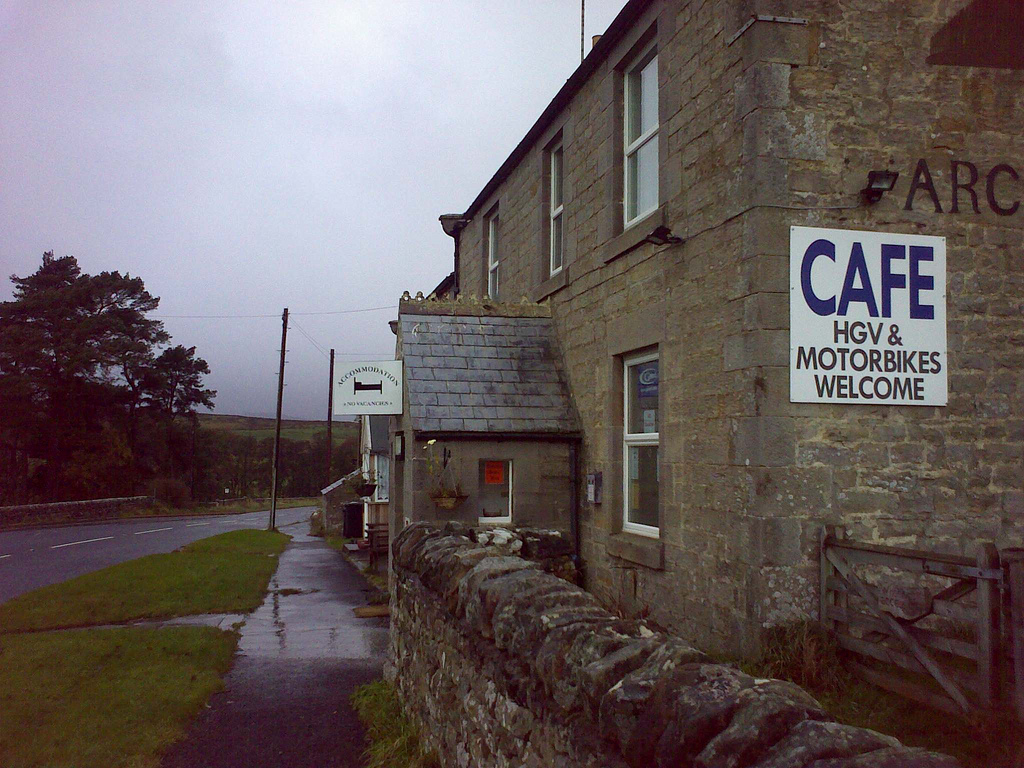
Redesdale Arms
- Overview Map Street View The Redesdale Arms is a hotel and restaurant located on the A68 road at Horsley, about 3½ miles north-west of Otterburn and 1 mile south-east of …

Co-Curate Page
Redesdale Arms
- Overview Map Street View The Redesdale Arms is a hotel and restaurant located on the A68 road at Horsley, about 3½ miles north-west of Otterburn and 1 mile south-east of …

Northumberland
Birdhopecraig
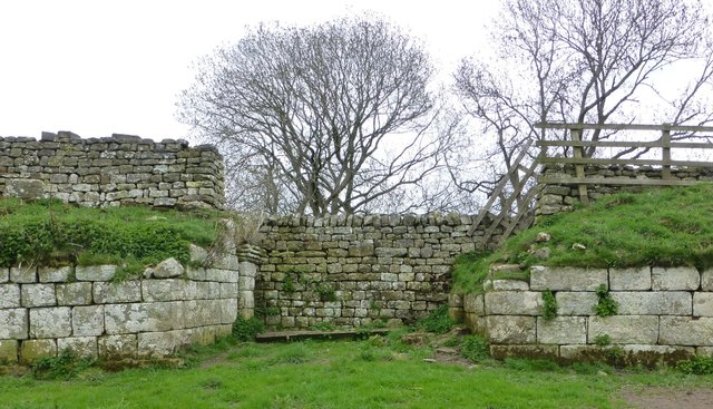
Bremenium Roman Fort
Former Birdhopecraig Church, Rochester

Old Milestone South of Birdhopecraig Church, Rochester
Old School House, Rochester, Northumberland

Rochester Township
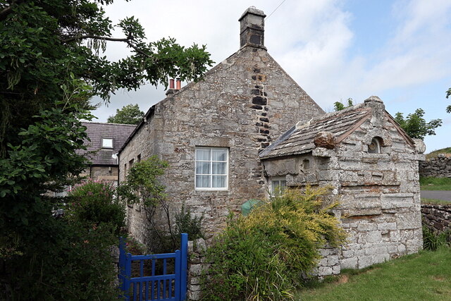
Rose Cottage bastle, High Rochester
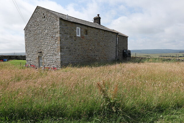
The Bastle, High Rochester
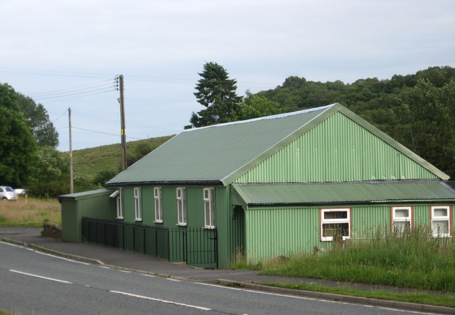
Village Hall, Rochester
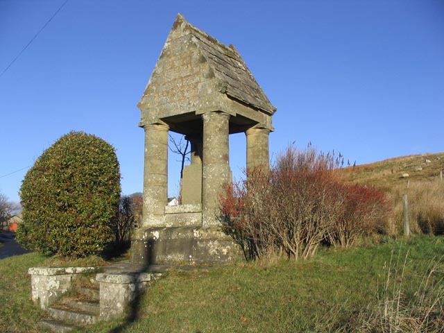
War Memorial, Rochester