Topics > Geography > Rivers > River Rede > Sills Burn
Sills Burn
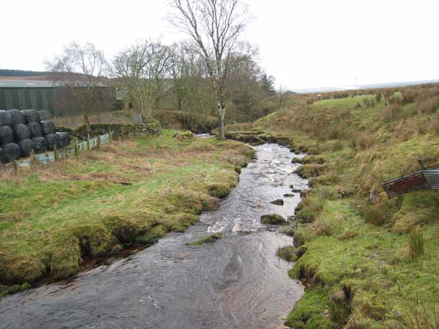
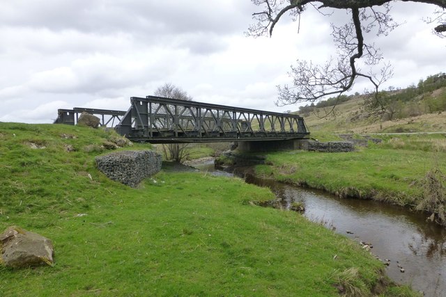
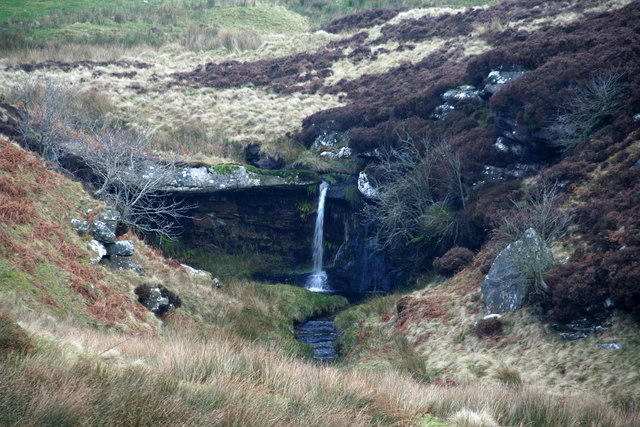
Sills Burn is a tributary of the River Rede, in Northumberland. The burn flows about 5km and flows in a roughly southerly direction, joing the River Rede near Rochester. Sills Burn has a catchment area of 20.1 km2.[1]
from Geograph (geograph)
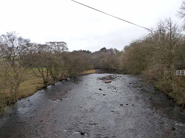
Sills Burn & Burnside Cottage from Rochester Bridge
Pinned by Simon Cotterill

Co-Curate Page
Sills, Northumberland
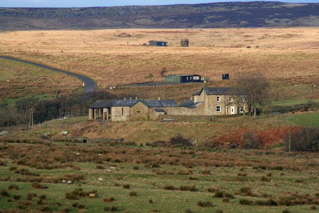
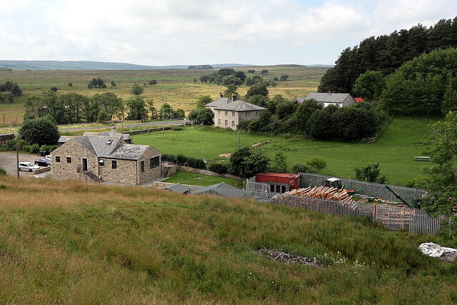
- Overview Map Sills Farm is located about 1½ miles north of Rochester in Northumberland and is situated within the MOD Otterburn Training Area. Whellan's directory of Northumberland for 1855 lists …
Co-Curate Page
Silloans, Northumberland
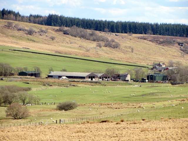
- Overview Map Silloans Farm is located about 1½ miles north of Rochester in Northumberland and is situated within the MOD Otterburn Training Area. Buildings at Silloans are first recorded in …
Co-Curate Page
Birdhopecraig
- Overview Map Street View Birdhopecraig (aka Birdhope Craig, or Burnhopecrag) in Redesdale is a former estate which included Birdhopecraig Hall, first recorded in 1584. The Hall was badly damaged by …
Co-Curate Page
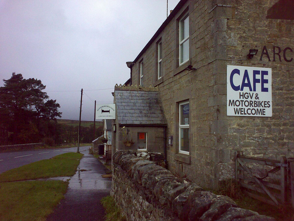
Rochester
- Overview About Rochester Map Street View Rochester is a village in Northumberland, located on the A68 road, about 5 miles north-west of Otterburn and 9½ miles south-east of the border …

from Geograph (geograph)
Sills Burn & Burnside Cottage from Rochester Bridge
Pinned by Simon Cotterill
Co-Curate Page
Sills, Northumberland
- Overview Map Sills Farm is located about 1½ miles north of Rochester in Northumberland and is situated within the MOD Otterburn Training Area. Whellan's directory of Northumberland for 1855 lists …
Co-Curate Page
Silloans, Northumberland
- Overview Map Silloans Farm is located about 1½ miles north of Rochester in Northumberland and is situated within the MOD Otterburn Training Area. Buildings at Silloans are first recorded in …
Co-Curate Page
Birdhopecraig
- Overview Map Street View Birdhopecraig (aka Birdhope Craig, or Burnhopecrag) in Redesdale is a former estate which included Birdhopecraig Hall, first recorded in 1584. The Hall was badly damaged by …
Co-Curate Page
Rochester
- Overview About Rochester Map Street View Rochester is a village in Northumberland, located on the A68 road, about 5 miles north-west of Otterburn and 9½ miles south-east of the border …