Topics > Geography > Rivers > River Blyth > River Pont
River Pont
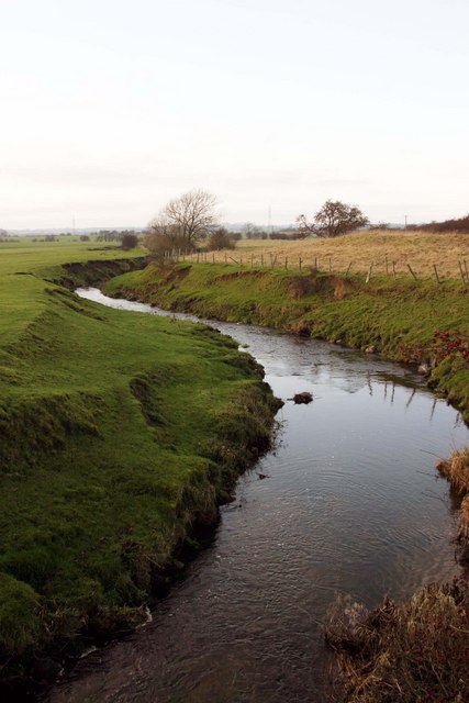
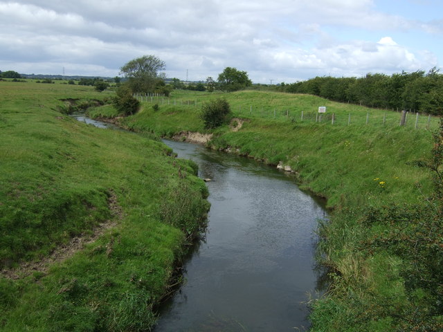
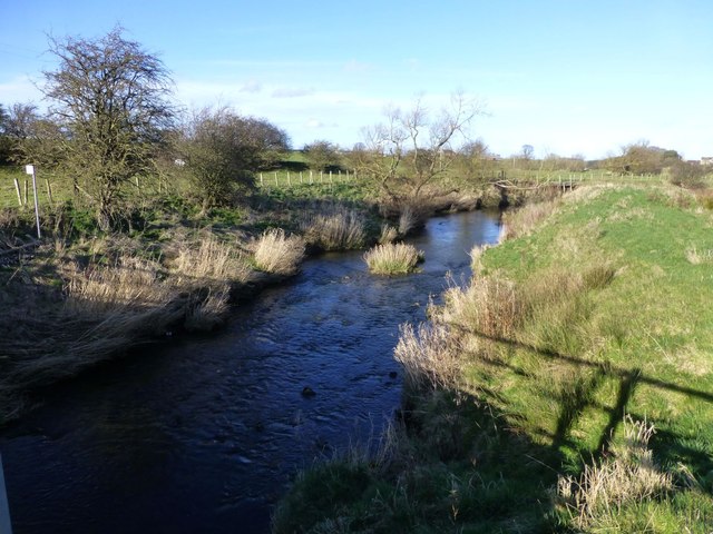
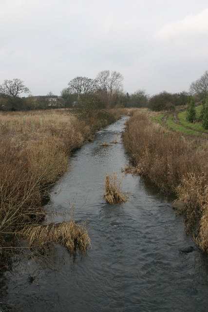
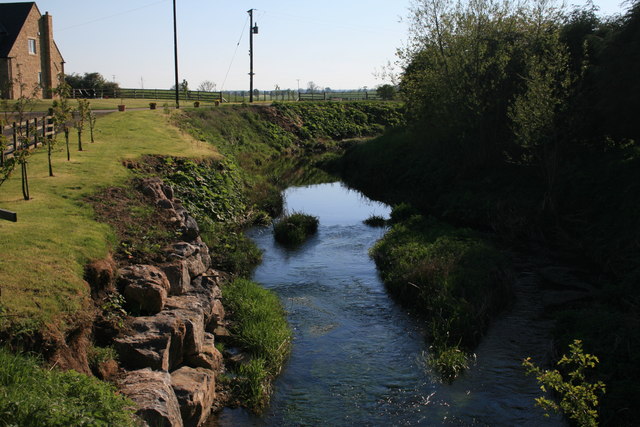
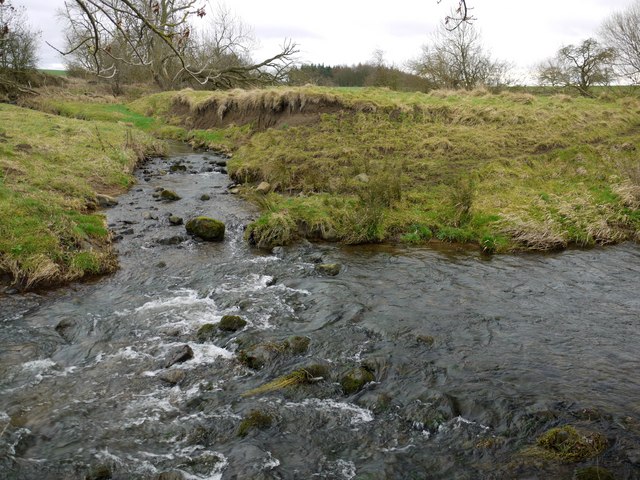
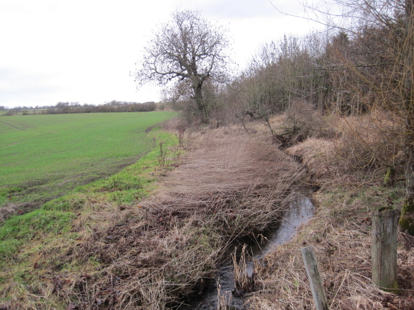
The River Pont is a river in Northumberland. which is a tributary of the River Blyth. The River Pont is about 35km long, it's tributaries include Med Burn, Fenwick Burn and Small Burn. It gives it's name to the town of Ponteland. Other settlements on the River Pont include Stamfordham and Matfen.
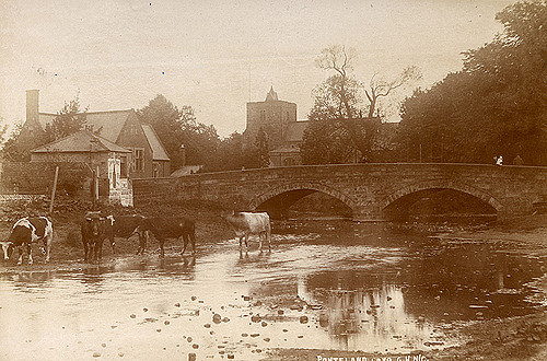
from Newcastle libraries (flickr)
001931:View of Ponteland from the riverbank towards the church black-and-white photograph around 1900.
Pinned by Simon Cotterill
Co-Curate Page
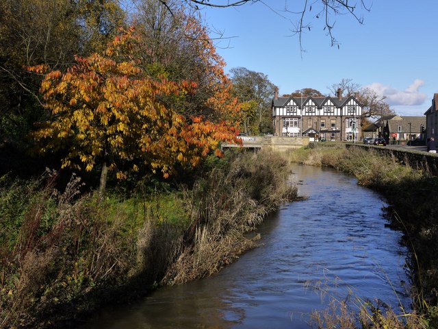
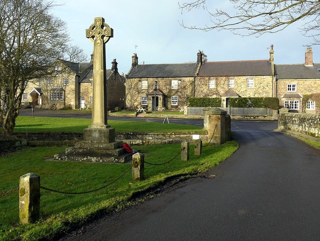
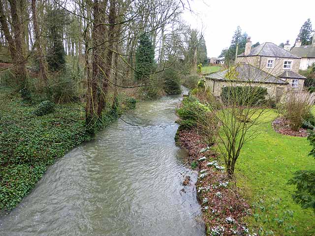
Ponteland
- Overview About Ponteland Map Street View Ponteland is a town in Northumberland, situated by the River Pont and located about 7 miles north-west of the city centre of Newcastle upon …
Co-Curate Page
Stamfordham
- Overview About Stamfordham Map Street View Stamfordham is a village and civil parish in Northumberland, about 11 miles west of Newcastle upon Tyne, 5 miles west of Ponteland and …
Co-Curate Page
Matfen
- Overview About Matfen Map Street View Matfen is a village and a civil parish in Northumberland, England, near the towns of Hexham and Newcastle upon Tyne. It is an …

Co-Curate Page
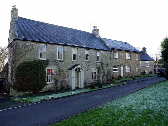
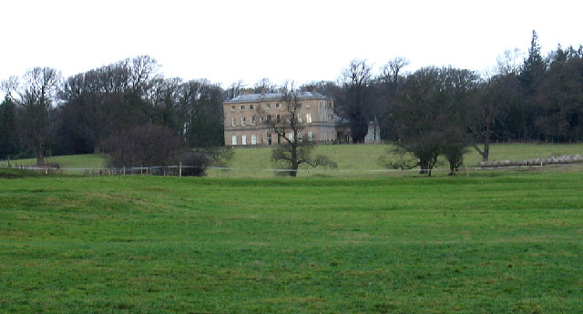
Dissington Hall
- Overview About Dissington Hall Map Street View Dissington Hall is a large country house which was built 1794 - 1797, designed by William Newton for Edward Collingwood. It replaced the …
Co-Curate Page
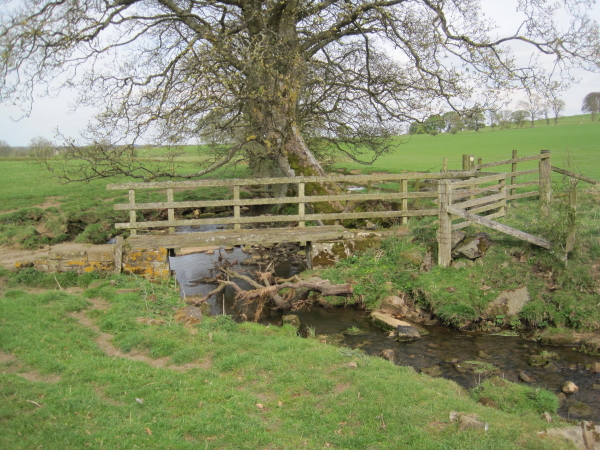
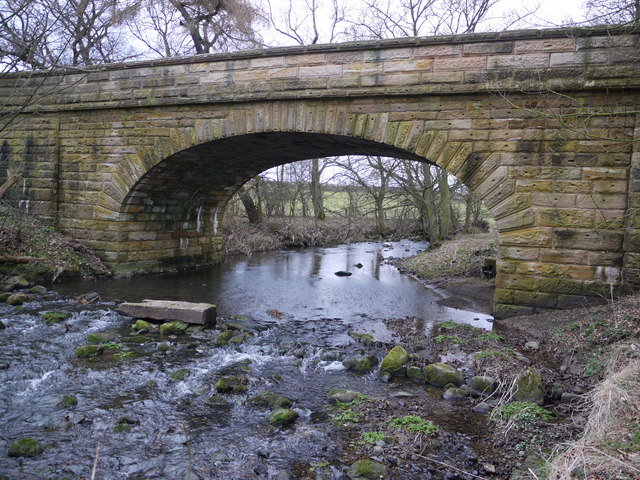
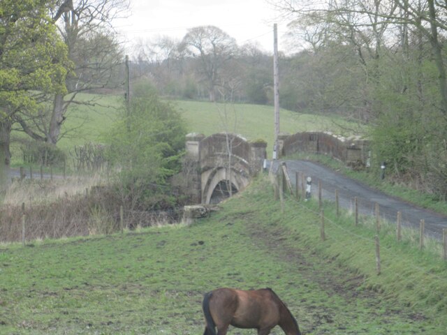
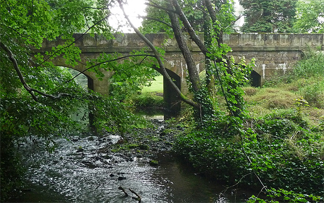
Eachwick Bridge
- Overview Map Street View The stone road bridge over the River Pont, to the east of Eachwick, was built in 1819. It is part of landscaped setting of Dissington Hall. …
Co-Curate Page
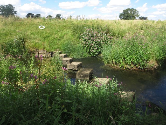
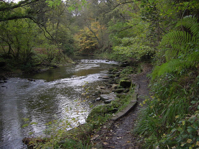
Heugh Mill Bridge, near Stamfordham
- Overview Map Street View Heugh Mill Bridge is a stone road bridge over the River Pont, located just over half mile east of the village of Stamfordham, in Northumberland. The …

from Newcastle libraries (flickr)
001931:View of Ponteland from the riverbank towards the church black-and-white photograph around 1900.
Pinned by Simon Cotterill
Co-Curate Page
Ponteland
- Overview About Ponteland Map Street View Ponteland is a town in Northumberland, situated by the River Pont and located about 7 miles north-west of the city centre of Newcastle upon …
Co-Curate Page
Stamfordham
- Overview About Stamfordham Map Street View Stamfordham is a village and civil parish in Northumberland, about 11 miles west of Newcastle upon Tyne, 5 miles west of Ponteland and …
Co-Curate Page
Matfen
- Overview About Matfen Map Street View Matfen is a village and a civil parish in Northumberland, England, near the towns of Hexham and Newcastle upon Tyne. It is an …
Co-Curate Page
Dissington Hall
- Overview About Dissington Hall Map Street View Dissington Hall is a large country house which was built 1794 - 1797, designed by William Newton for Edward Collingwood. It replaced the …
Co-Curate Page
Eachwick Bridge
- Overview Map Street View The stone road bridge over the River Pont, to the east of Eachwick, was built in 1819. It is part of landscaped setting of Dissington Hall. …
Co-Curate Page
Heugh Mill Bridge, near Stamfordham
- Overview Map Street View Heugh Mill Bridge is a stone road bridge over the River Pont, located just over half mile east of the village of Stamfordham, in Northumberland. The …


Grid ref:
NZ1007271651

