Topics > Geography > Rivers > River Blyth > River Pont > Med Burn
Med Burn
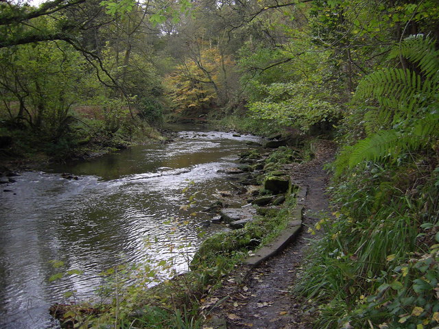
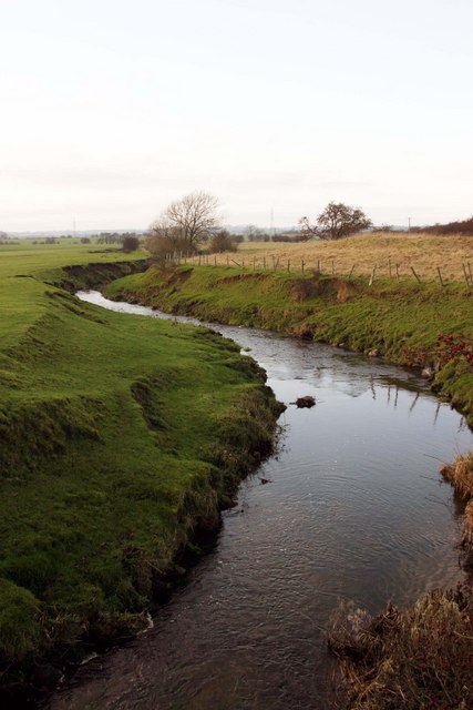
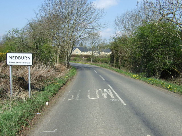
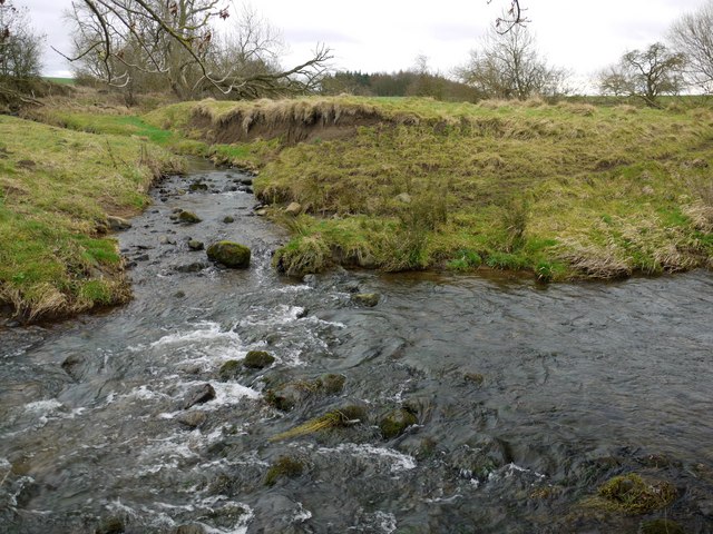
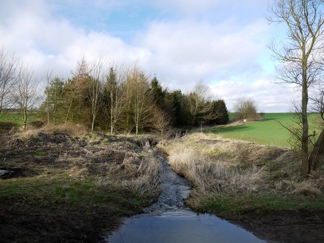
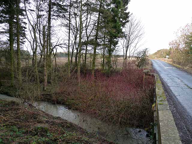
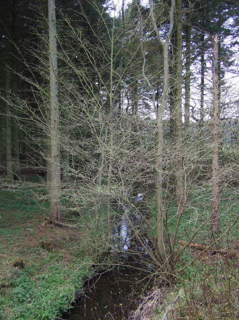
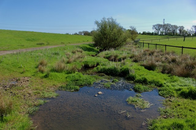
The Med Burn is a stream in Northumberland which is a triburatry of the River Pont. Med Burn is about 9km long, with a catchment area of 11.6km2[1]. it's confluence with the River Pont is about half a mile north of Medburn, a village near Darras Hall, which takes it's name from the Burn.

Co-Curate Page
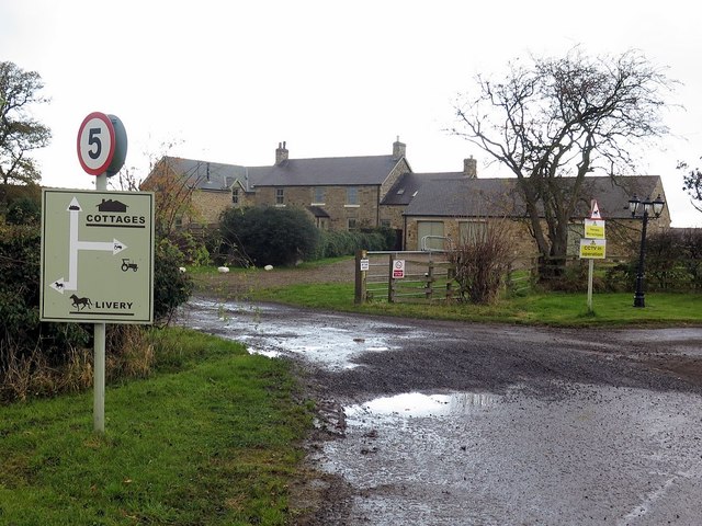
South Dissington
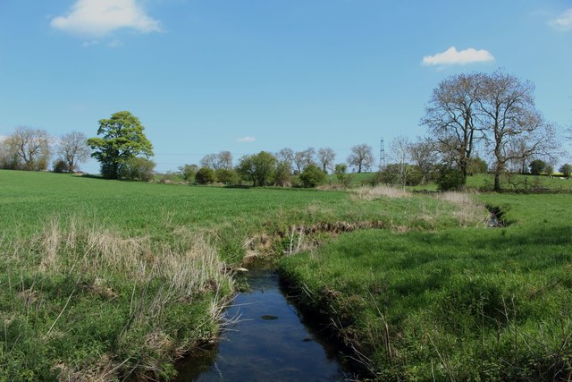
- Overview Map South Dissington is a farmstead situated by the Med Burn (stream), about half a mile west of the village of Medburn and 3 miles south-west of Ponteland. It …
Co-Curate Page
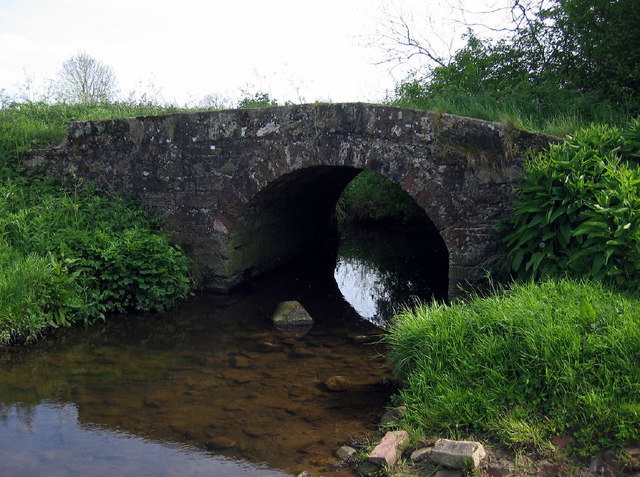
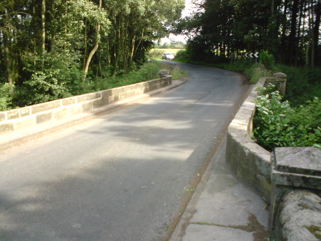
Medburn Bridge, near Stamfordham
- Overview Map Street View Medburn Bridge is a road bridge over the Med Burn, located about 2 miles south-east of the village of Stamfordham. The stone bridge dates from the …

Co-Curate Page
South Dissington
- Overview Map South Dissington is a farmstead situated by the Med Burn (stream), about half a mile west of the village of Medburn and 3 miles south-west of Ponteland. It …