Topics > Geography > Rivers > River Blyth > River Pont > Coldcoats Burn
Coldcoats Burn
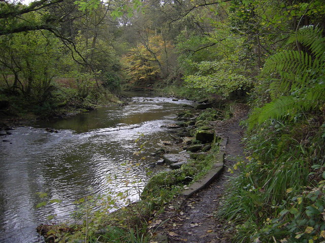
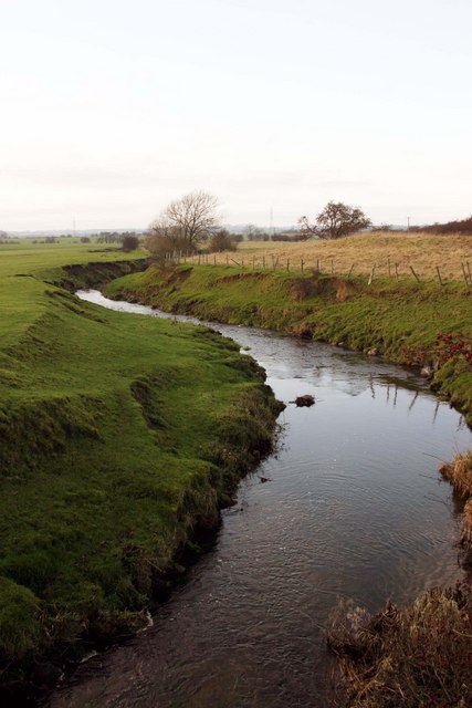
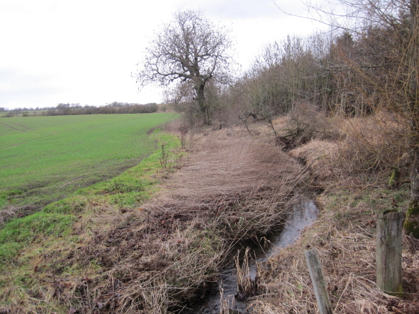
Coldcoats Burn is a tributary of the River Pont in Northumberland. The catchment area of the burn is 25km2 and it is 19.5 km long.[1] West Cotes Bridge carries the A696 road over the burn, a short distance west of where Coldcotes Burn joins the Pont.

from https://environment.data.gov.…
Coldcoats Burn Catchment (trib of Pont)
Added by
Simon Cotterill
Co-Curate Page
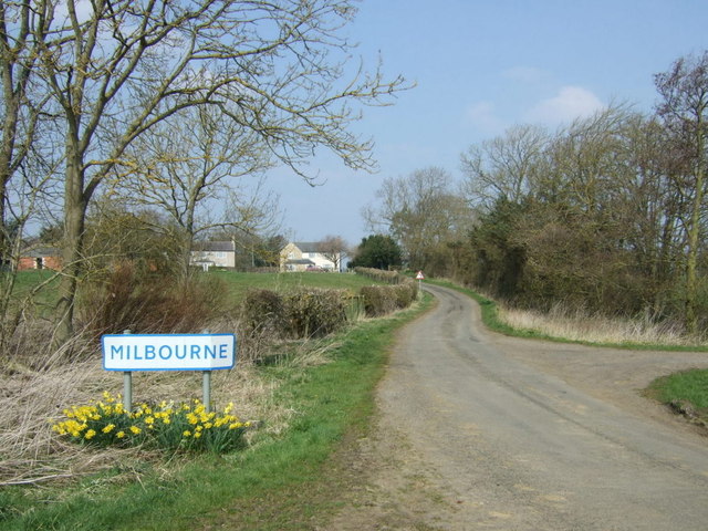
Milbourne
- Overview About Milbourne Map Street View Milbourne is a village in Northumberland, located about 3 miles north-west of Ponteland and situated by Mill Burn (known as Coldcoats Burn downstream, and a tributary …

from https://environment.data.gov.…
Coldcoats Burn Catchment (trib of Pont)
Added by
Simon Cotterill