Topics > Geography > Rivers > River Gaunless
River Gaunless
The Gaunless Operational Catchment area. Map data from the Environment Agency under the Open Government Licence v3.0.
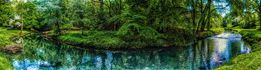
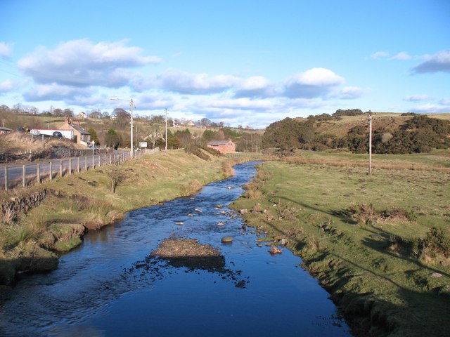
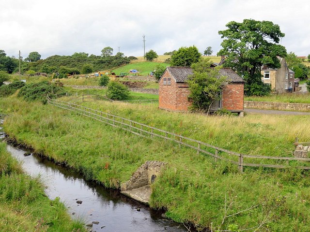
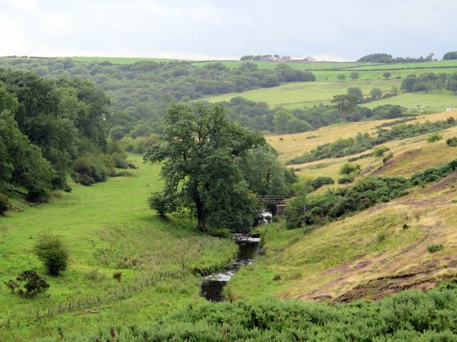
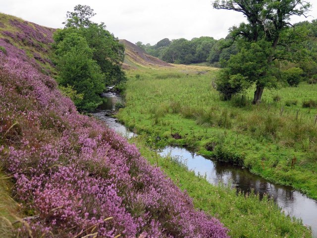
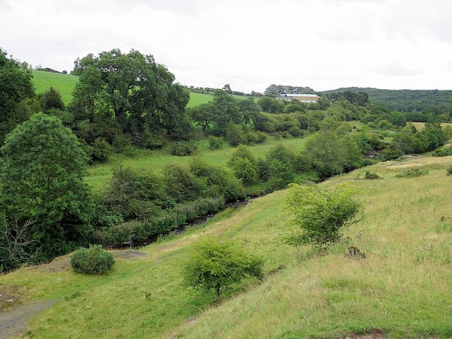
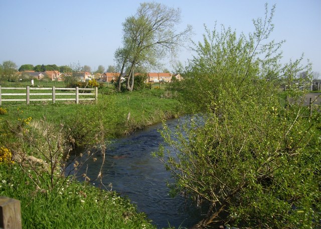
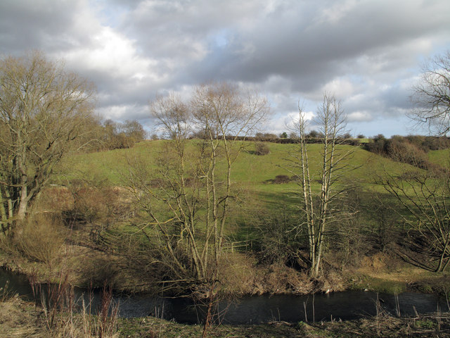
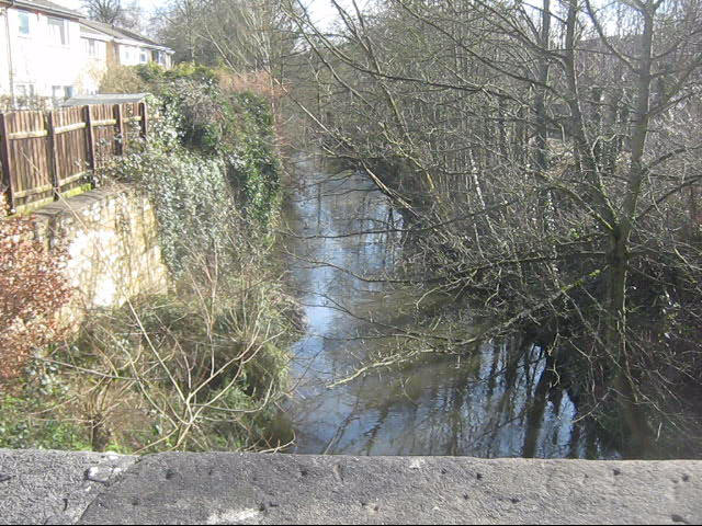
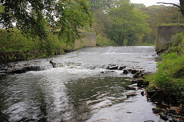
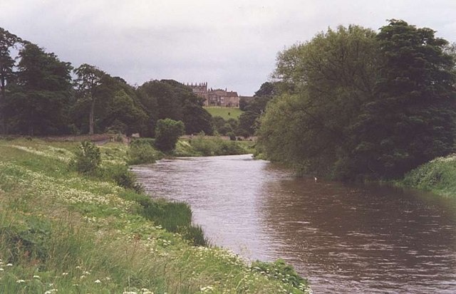
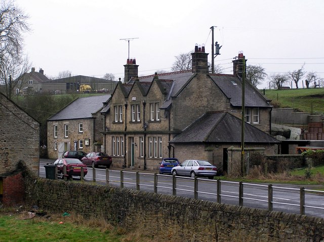
The Gaunless is a river in County Durham, which is a tributary of the River Wear. The river forms near Copley, by the confluence of Arn Gill and Hindon Beck. The Gaunless is aproximately 37 km long and has a catchment area of about 78 km2.[1,2] The Gaunless flows near Butterknowle, Cockfield, Evenwood and through West Auckland and Bishop Auckland before joining the River Wear.
The River Gaunless is a river of County Durham in England. Its name was given by the Vikings, who found no major uses for it and thus Gaunless, meaning 'useless', became fixed.
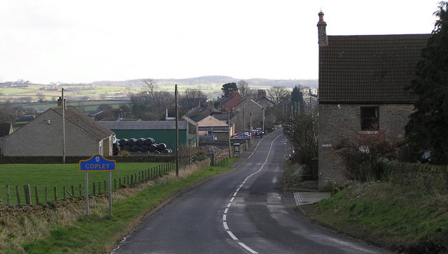
Formed just south of the village of Copley, by the confluence of Arn Gill (to the south, coming west from south of Langleydale Common) and Hindon Beck (to the north and coming east from Langleydale Common), the Gaunless wends its way east, passing the settlements of Butterknowle, Cockfield and Evenwood and through West Auckland before skirting the south and east of Bishop Auckland on its way to meet the River Wear.
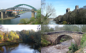
The Gaunless Viaduct, built in 1825, was the tallest viaduct on the South Durham & Lancashire Union Railway.
An extension of the Copley Met.Office weather station has been placed at the head of the river at Copley Lead Mill to study its unique climate of frost and snow. It lies in a frost hollow and receives no sunshine between October and March because of its geography.
Settlements
- Copley
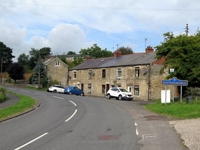
- Butterknowle
- Evenwood
- West Auckland
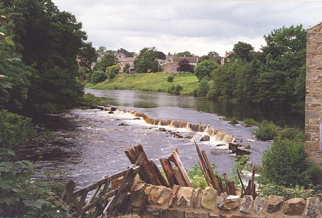
- Bishop Auckland
Tributaries
- Arn Gill
- Hindon Beck
- Cowclose Beck
- Foul Sike
- Grewburn Beck
- Howle Beck
- Gordon Beck
- Norton Fine Beck
- Oakley Cross Beck
- Hummer Beck
- Dene Beck
- Coundon Burn
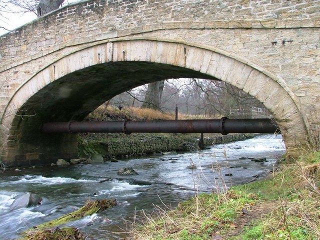
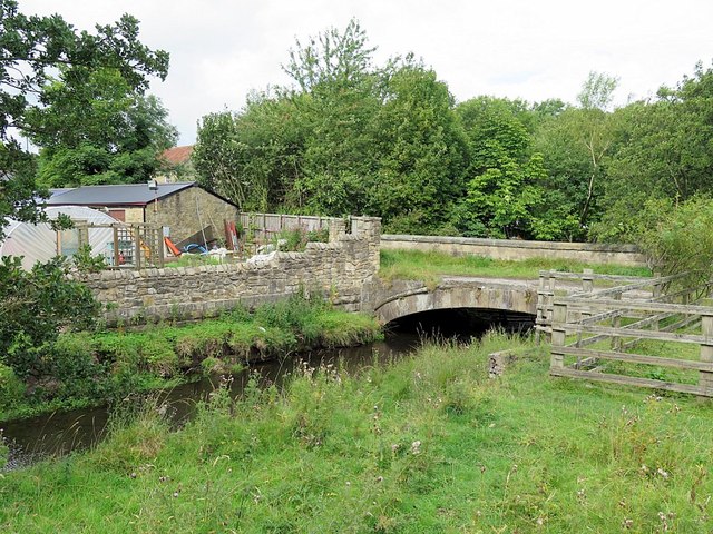
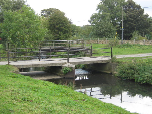
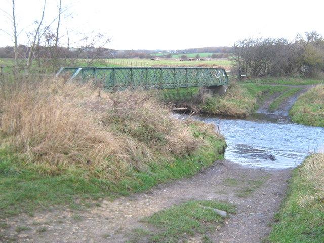
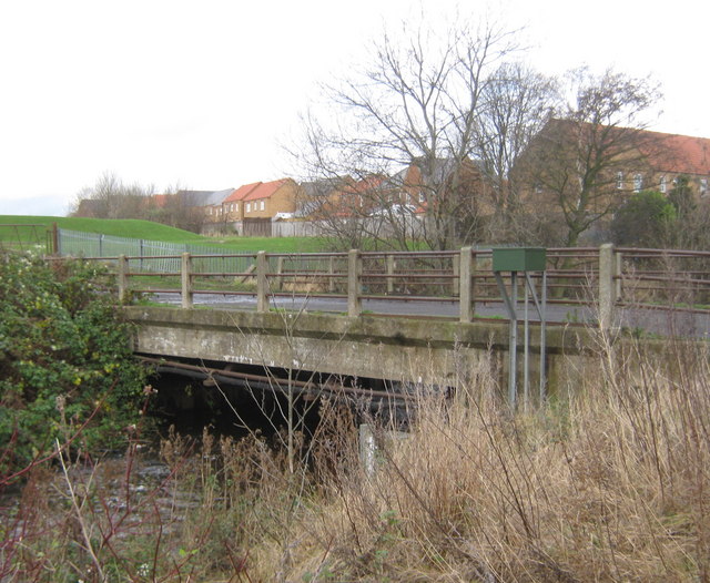
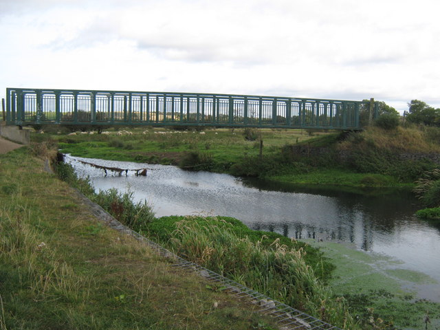
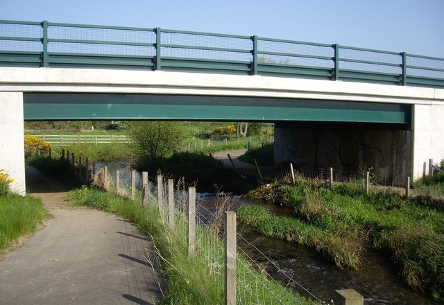
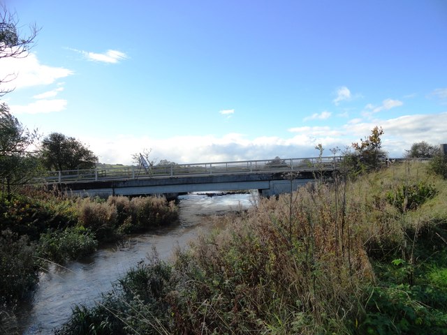
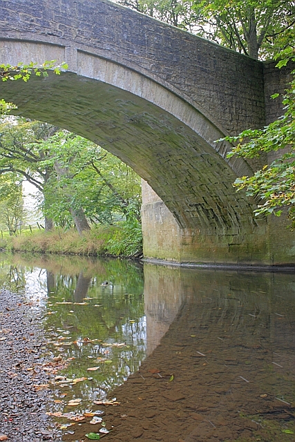
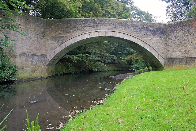
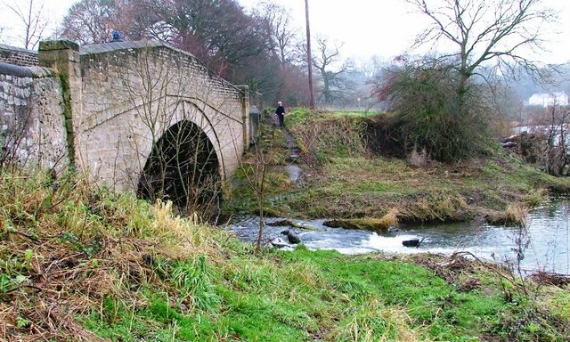
Bridges
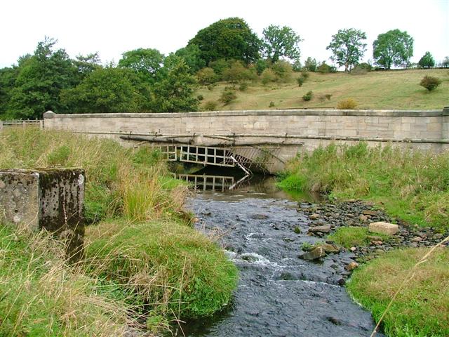
- Gaunless Bridge
- Gaunless Viaduct
- Swin Bridge
Visit the page: River Gaunless for references and further details. You can contribute to this article on Wikipedia.

from http://environment.data.gov.u…
Gaunless from Source to Hummer Beck
- Stats on the River Gaunless from Source up to Hummer Beck.
Added by
Simon Cotterill
from http://environment.data.gov.u…
Gaunless from Hummer Beck to Wear
- Stats on the River Gaunless from Hummer Beck to its confluence with the River Wear.
Added by
Simon Cotterill


from Geograph (geograph)
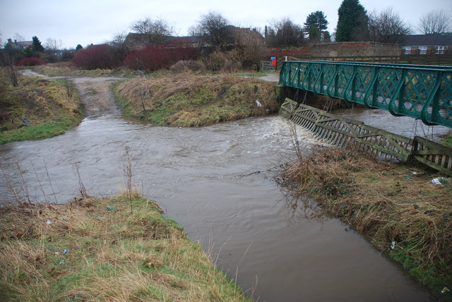
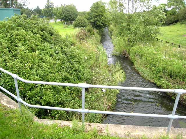
Culvert under Durham Road Bishop Auckland for the River Gaunless
Pinned by Peter Smith
from Geograph (geograph)
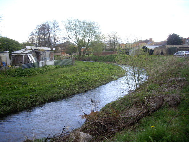
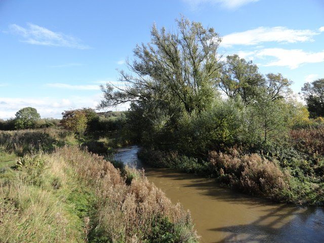
The River Gaunless flowing towards Gib Chare Bridge Bishop Auckland
Pinned by Peter Smith
Co-Curate Page
Bishop Auckland
- Overview About Bishop Auckland Map Street View Bishop Auckland is a market town in County Durham in north located between Darlington and Durham at the confluence of the River Wear …
Co-Curate Page
River Wear
- Overview Geology Course Tributaries Industrial History The Wear is a major river in County Durham. It rises in the East Penines at Wearhead at the confluence of Burnhope Burn and …
Co-Curate Page
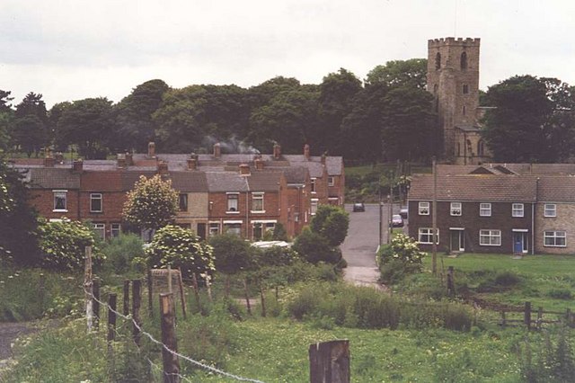
Butterknowle
- Overview About Butterknowle Map Street View Butterknowle is a village in County Durham located near the River Gaunless. It is part of the civil parish of Lynesack and Softley. Butterknowle …
Co-Curate Page
The Slack
- Overview Map Street View A hamlet by the River Gaunless near Butterknowle in County Durham.
Co-Curate Page
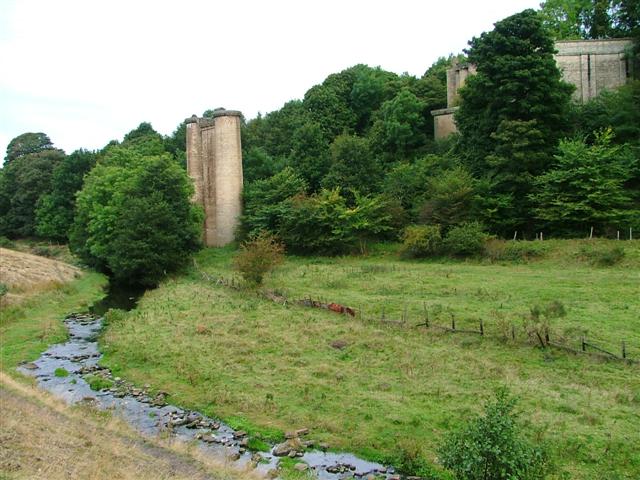
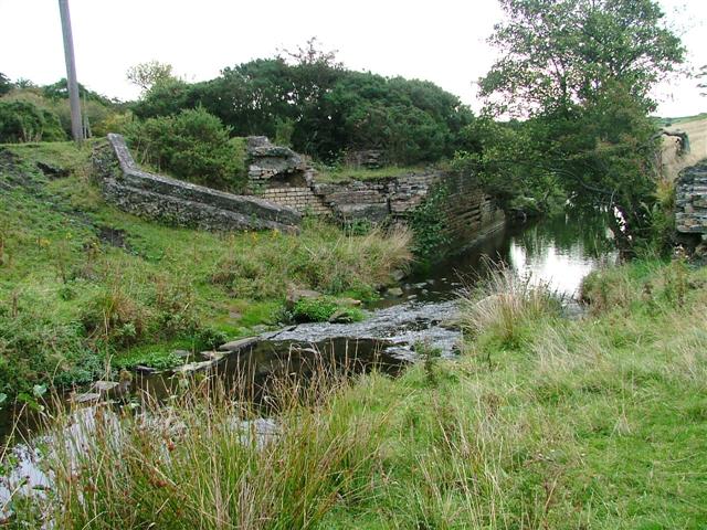
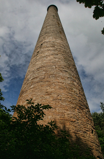
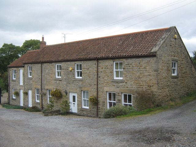
Gaunless Lead Mill, Copley
- The lead smelting mill chimney, in woods to the south of Copley, was built in the early 19th Century, for the 3rd Earl of Darlington. The chimney is Grade II …
Co-Curate Page
Cockfield
- Overview About Cockfield Map Street View Cockfield is a village on the edge of Teesdale, County Durham, England. It is situated 8 miles to the south-west of Bishop Auckland, …
Co-Curate Page
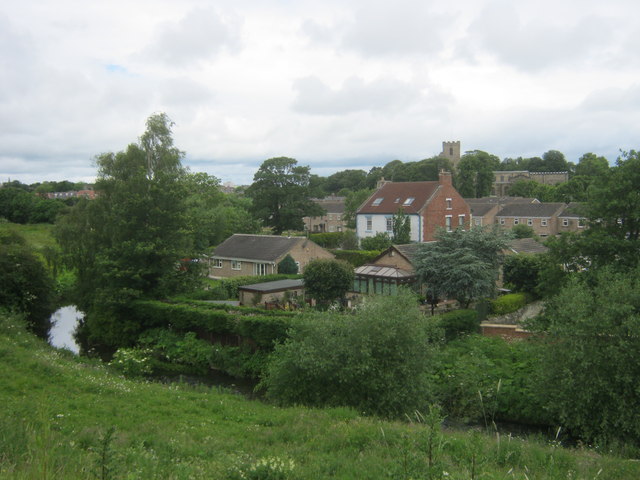
Copley
- Overview About Copley Map Street View Copley is a village of roughly 400 inhabitants in County Durham, in England. It is situated 9 miles to the west of Bishop …
Co-Curate Page
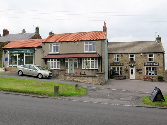
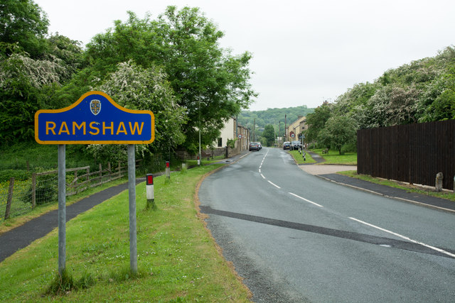
Ramshaw (Bishop Auckland)
- Overview About Ramshaw Map Street View Ramshaw is a village in County Durham, located about 4 miles south-west of Bishop Auckland (not to be confused with the hamlet of Ramshaw, near …
Co-Curate Page
Evenwood
- Overview About Evenwood Map Street View Evenwood is a village in County Durham situated by the River Gaunless and located about 3½ miles south-west of Bishop Auckland and 8 miles north-east …
Co-Curate Page
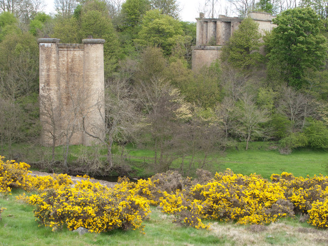
Lands Viaduct (remains)
- Overview About Lands Viaduct Map Lands Viaduct was built in 1863 to carry the South Durham and Lancashire Union Railway over the River Gaunless. Gaunless Viaduct, also known as the …
Co-Curate Page
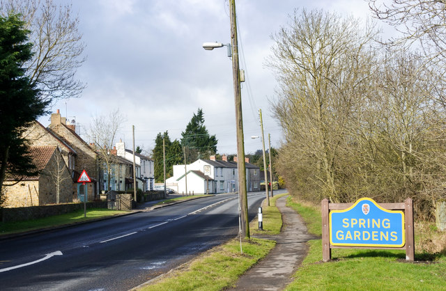
Spring Gardens, County Durham
- Overview Map Street View Spring Gardens is a hamlet in County Durham, located close to the villages West Auckland and St Helen Auckland. Spring Gardens forms part of Etherley Civil Parish.

from http://environment.data.gov.u…
Gaunless from Source to Hummer Beck
- Stats on the River Gaunless from Source up to Hummer Beck.
Added by
Simon Cotterill
from http://environment.data.gov.u…
Gaunless from Hummer Beck to Wear
- Stats on the River Gaunless from Hummer Beck to its confluence with the River Wear.
Added by
Simon Cotterill
from Geograph (geograph)
Culvert under Durham Road Bishop Auckland for the River Gaunless
Pinned by Peter Smith
from Geograph (geograph)
The River Gaunless flowing towards Gib Chare Bridge Bishop Auckland
Pinned by Peter Smith
Co-Curate Page
Bishop Auckland
- Overview About Bishop Auckland Map Street View Bishop Auckland is a market town in County Durham in north located between Darlington and Durham at the confluence of the River Wear …
Co-Curate Page
River Wear
- Overview Geology Course Tributaries Industrial History The Wear is a major river in County Durham. It rises in the East Penines at Wearhead at the confluence of Burnhope Burn and …
Co-Curate Page
Butterknowle
- Overview About Butterknowle Map Street View Butterknowle is a village in County Durham located near the River Gaunless. It is part of the civil parish of Lynesack and Softley. Butterknowle …
Co-Curate Page
The Slack
- Overview Map Street View A hamlet by the River Gaunless near Butterknowle in County Durham.
Co-Curate Page
Gaunless Lead Mill, Copley
- The lead smelting mill chimney, in woods to the south of Copley, was built in the early 19th Century, for the 3rd Earl of Darlington. The chimney is Grade II …
Co-Curate Page
Cockfield
- Overview About Cockfield Map Street View Cockfield is a village on the edge of Teesdale, County Durham, England. It is situated 8 miles to the south-west of Bishop Auckland, …
Co-Curate Page
Copley
- Overview About Copley Map Street View Copley is a village of roughly 400 inhabitants in County Durham, in England. It is situated 9 miles to the west of Bishop …
Co-Curate Page
Ramshaw (Bishop Auckland)
- Overview About Ramshaw Map Street View Ramshaw is a village in County Durham, located about 4 miles south-west of Bishop Auckland (not to be confused with the hamlet of Ramshaw, near …
Co-Curate Page
Evenwood
- Overview About Evenwood Map Street View Evenwood is a village in County Durham situated by the River Gaunless and located about 3½ miles south-west of Bishop Auckland and 8 miles north-east …
Co-Curate Page
Lands Viaduct (remains)
- Overview About Lands Viaduct Map Lands Viaduct was built in 1863 to carry the South Durham and Lancashire Union Railway over the River Gaunless. Gaunless Viaduct, also known as the …