Topics > Civil Parishes in Cumbria > Former Borough of Barrow-In-Furness Area
Former Borough of Barrow-In-Furness Area
Barrow-in-Furness is the second largest urban area in Cumbria, after Carlsile; the built-up urban area had a population of 45,865 at the time of the 2011 Census. Barrow was incorporated as a municipal borough in 1867. Barrow is located on the Furness peninsula by Morcambe Bay. The borough includes Barrow, Barrow Island, Walney Island and some outlying settlements, such as Rampside, Roa Island and Piel Island. Unlike most of the rest of Cumbria the area was largely unparished; it was served by the Borough of Barrow-In-Furness Council (until April 2023). The Town Hall is located on Duke Street in Barrow.
Barrow Civil Parish (from 1st April 2023) is made up of the eleven wards of the former Barrow Borough Council area - covering the previously unparished areas of the borough: Walney North, Walney South, Barrow Island, Hindpool, Central, Ormsgill, Parkside, Risedale, Hawcoat, Newbarns and Roosecote. The Parish Council (Barrow Town Council) is housed in Barrow Town Hall under a licence agreement with Westmorland and Furness Council (from 1st April 2023).
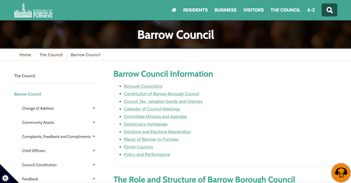
from https://www.barrowbc.gov.uk/
Barrow Borough Council
- Official Website of Barrow Borough Council, with information for residents, businesses, and visitors.
Added by
Edmund Anon

from https://commons.wikimedia.org…
The coat of arms of Barrow-in-Furness Borough Council - 1867
Added by
Edmund Anon
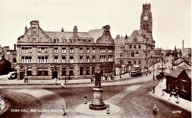
Co-Curate Page
Barrow-in-Furness
- Overview About Barrow Map Street View Barrow-in-Furness is the second largest urban area in Cumbria, after Carlisle; it was incorporated as a municipal borough in 1867. Barrow is located on …
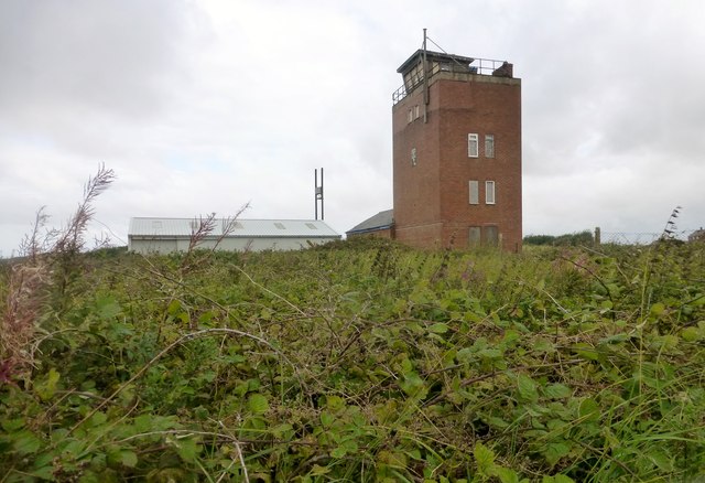
Co-Curate Page
Walney Island
- Overview About Walney Island Map Street View Walney Island is located at the western end of Morcambe Bay and part of Barrow-in-Furness, separated from the mainland by Walney Channel. Historically, …
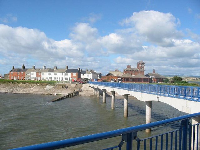
Co-Curate Page
Roa Island
- Overview About Roa Island Map Street View Roa Island is a tidal island located about 3 miles south-east of Barrow-in-Furness. A causeway, built in 1847, connects Roa Island with Rampside …
Co-Curate Page
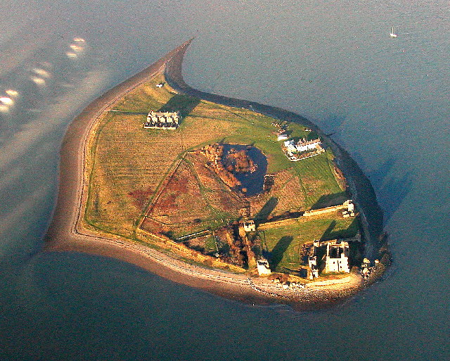
Piel Island
- Overview About Piel Island Map Street View Piel Island is located about half a mile off the southern tip of the Furness Peninsula in Cumbria, within the administrative boundaries of …
Co-Curate Page
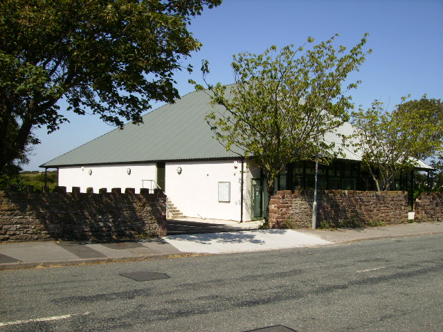
Rampside
- Overview About Rampside Map Street View Rampside is a costal village in Cumbria, located on the Furness peninsula of Morecambe Bay, about 2 miles south east of Barrow-in-Furness.The earliest records …
Co-Curate Page
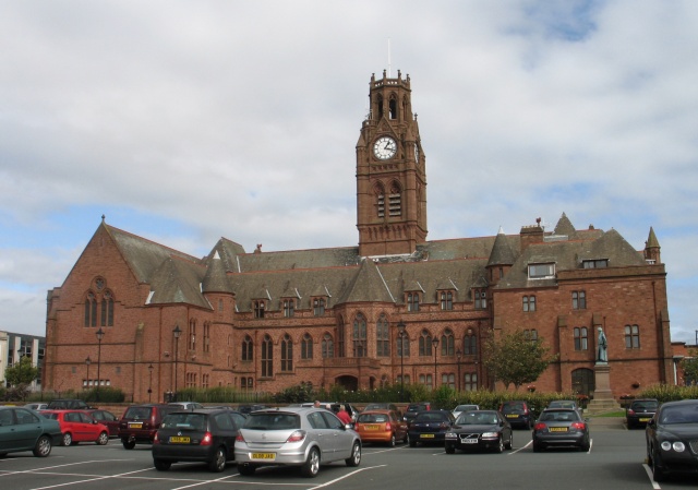
Town Hall
- Overview About the Town Hall Map Street View The Town Hall in Barrow-in-Furness was built from 1882-1887, designed in a Neo-Gothic style, by WH Lynn of Belfast. It was opened …
Co-Curate Page
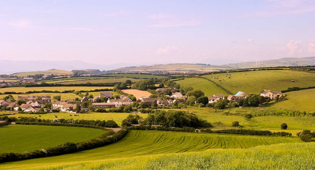
Newton-in-Furness
- Overview About Newton-in-Furness Map Street View Newton is a village in the civil parish of Dalton Town with Newton, in the Barrow-in-Furness district, in the county of Cumbria, England. …
Co-Curate Page
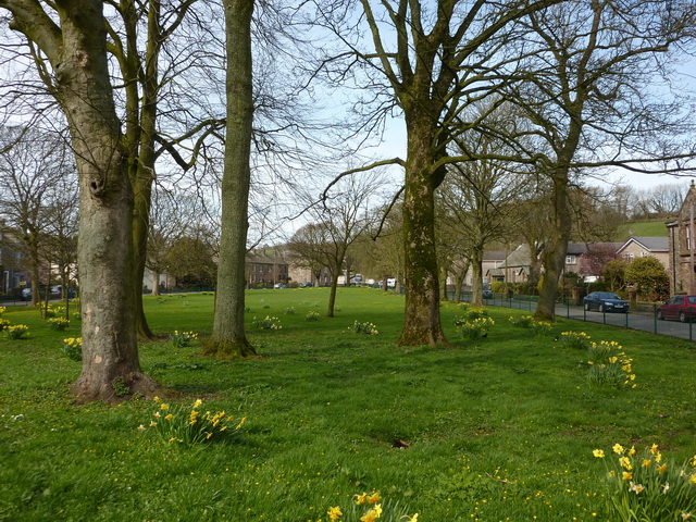
Lindal-in-Furness
- Overview About Lindal-in-Furness Map Street View Lindal-in-Furness is a village on the Furness peninsula of Cumbria, England. Historically in Lancashire, it lies eight miles to the north-east of Barrow-in-Furness, …

Co-Curate Page
Askam and Ireleth Civil Parish
- Overview About Askam and Ireleth Askam and Ireleth is a civil parish in Cumbria, located to the north of Barrow-in-Furness. The civil parish includes the village of Ireleth and larger …

Co-Curate Page
Dalton with Newton Town Civil Parish
- Overview Area: 8.7 km² Population: 7,844 (2021 Census) 8,125 (2011 Census) 8,394 (2001 Census)


from https://www.barrowbc.gov.uk/
Barrow Borough Council
- Official Website of Barrow Borough Council, with information for residents, businesses, and visitors.
Added by
Edmund Anon

from https://commons.wikimedia.org…
The coat of arms of Barrow-in-Furness Borough Council - 1867
Added by
Edmund Anon

Co-Curate Page
Barrow-in-Furness
- Overview About Barrow Map Street View Barrow-in-Furness is the second largest urban area in Cumbria, after Carlisle; it was incorporated as a municipal borough in 1867. Barrow is located on …

Co-Curate Page
Walney Island
- Overview About Walney Island Map Street View Walney Island is located at the western end of Morcambe Bay and part of Barrow-in-Furness, separated from the mainland by Walney Channel. Historically, …

Co-Curate Page
Roa Island
- Overview About Roa Island Map Street View Roa Island is a tidal island located about 3 miles south-east of Barrow-in-Furness. A causeway, built in 1847, connects Roa Island with Rampside …

Co-Curate Page
Piel Island
- Overview About Piel Island Map Street View Piel Island is located about half a mile off the southern tip of the Furness Peninsula in Cumbria, within the administrative boundaries of …

Co-Curate Page
Rampside
- Overview About Rampside Map Street View Rampside is a costal village in Cumbria, located on the Furness peninsula of Morecambe Bay, about 2 miles south east of Barrow-in-Furness.The earliest records …

Co-Curate Page
Town Hall
- Overview About the Town Hall Map Street View The Town Hall in Barrow-in-Furness was built from 1882-1887, designed in a Neo-Gothic style, by WH Lynn of Belfast. It was opened …

Co-Curate Page
Newton-in-Furness
- Overview About Newton-in-Furness Map Street View Newton is a village in the civil parish of Dalton Town with Newton, in the Barrow-in-Furness district, in the county of Cumbria, England. …

Co-Curate Page
Lindal-in-Furness
- Overview About Lindal-in-Furness Map Street View Lindal-in-Furness is a village on the Furness peninsula of Cumbria, England. Historically in Lancashire, it lies eight miles to the north-east of Barrow-in-Furness, …

Co-Curate Page
Askam and Ireleth Civil Parish
- Overview About Askam and Ireleth Askam and Ireleth is a civil parish in Cumbria, located to the north of Barrow-in-Furness. The civil parish includes the village of Ireleth and larger …


