Topics > Landmarks, Parks and Buildings > Parks and Gardens
Parks and Gardens
Co-Curate Page
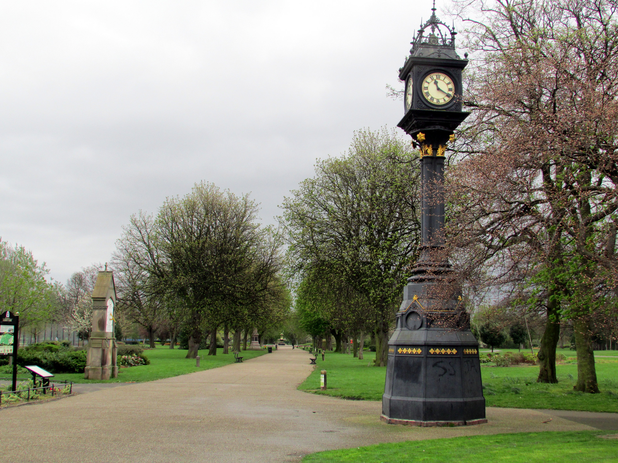
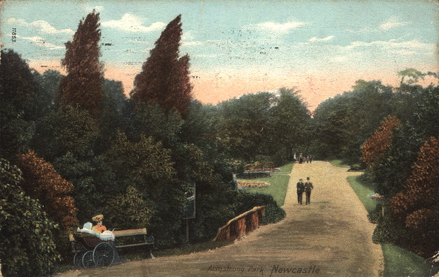
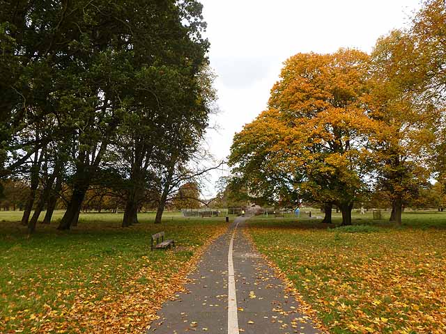
Armstrong Park
- Overview Map Street View Armstrong Park in Newcastle, connects with Jesmond Dene and Heaton Park to form a large green space, a short distance north-east of the city centre. Armstrong …
Co-Curate Page
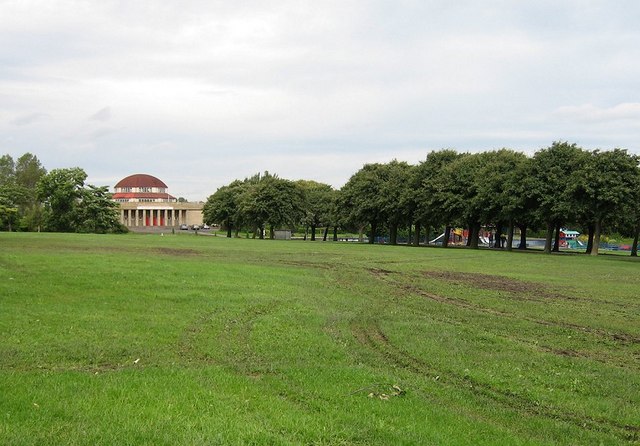
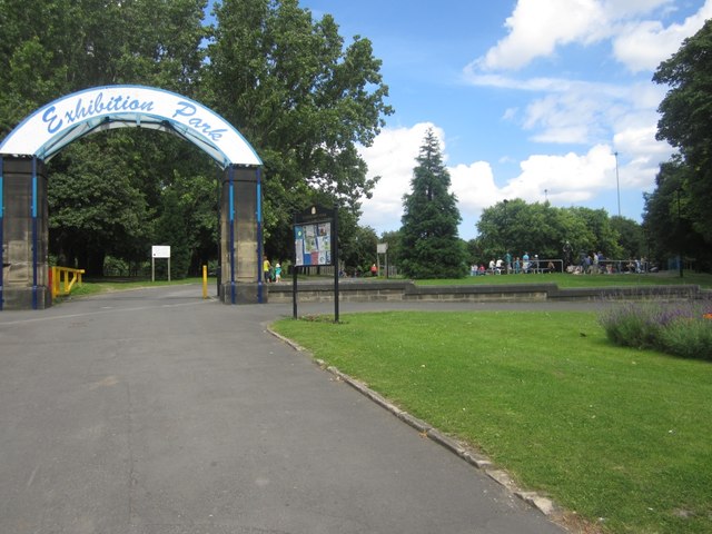
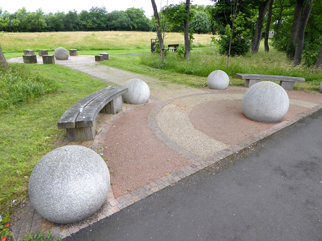
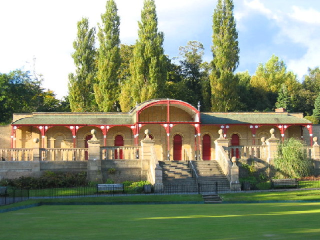
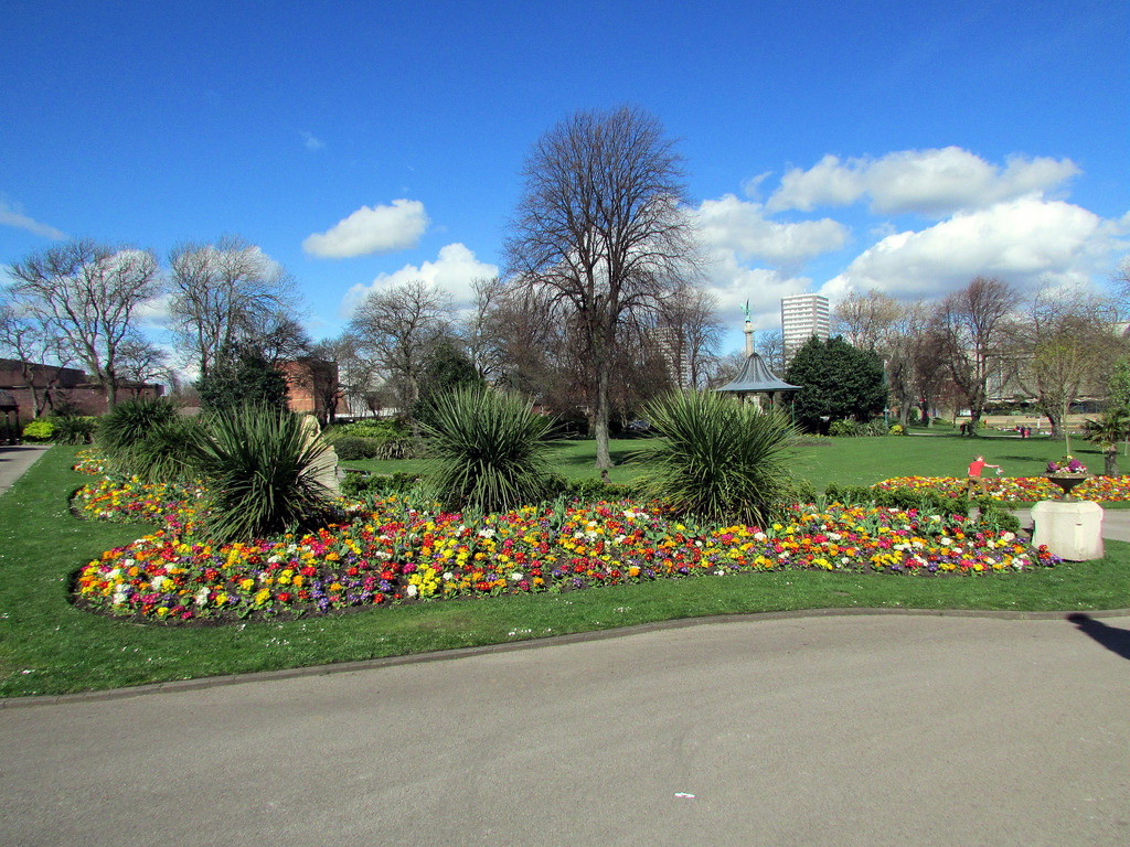
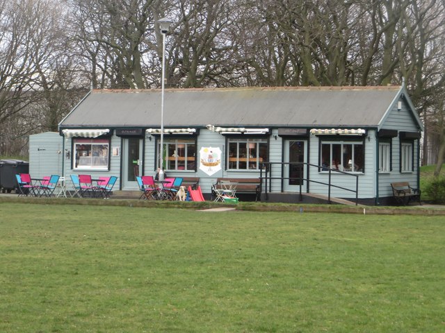
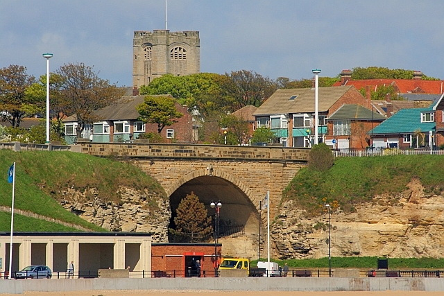
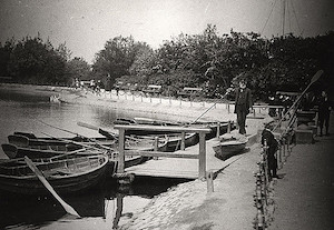
Exhibition Park
- Overview About Exhibition Park Map Street View Exhibition Park is a short walk from Newcastle City Centre; the main entrance is off Claremont Road. It became known as Exhibition Park …
Co-Curate Page
Heaton Park
- Overview Map Street View Heaton Park has a network of footpaths and connects with Armstrong Park, Jesmond Dene and Ouseburn Park. The Pavilion building in the park was refurbished in …
Co-Curate Page
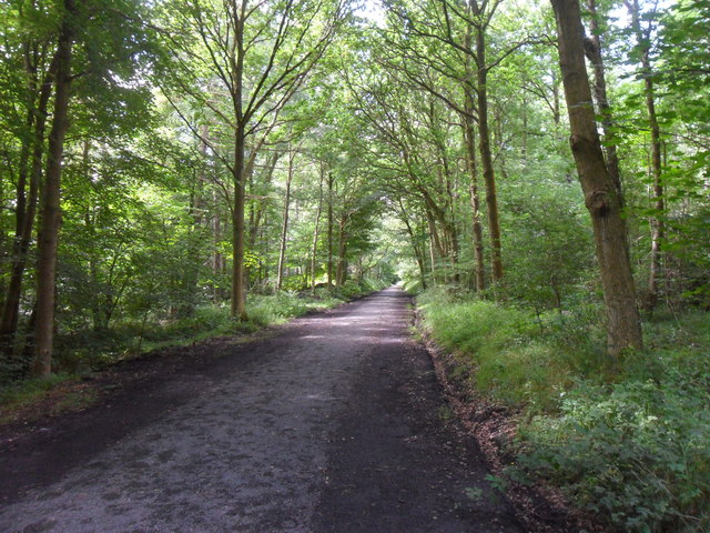
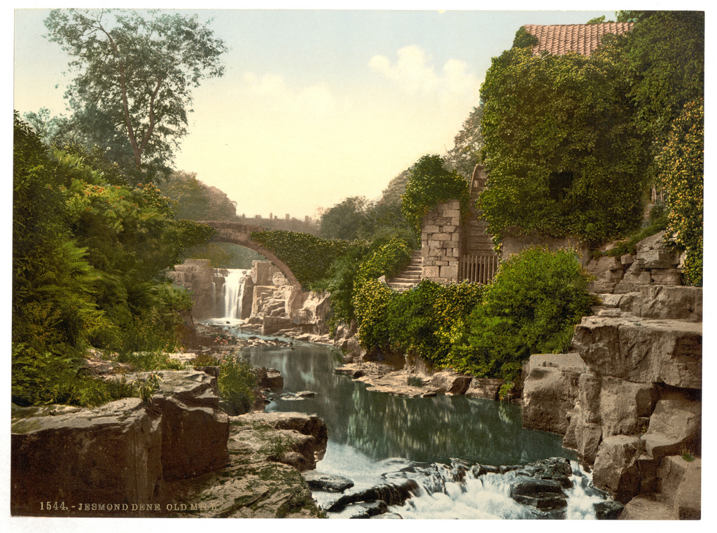
Jesmond Dene
- Overview About Jesmond Dene Map Street View Jesmond Dene is a public park in the valley of the Ouseburn river in Jesmond, Newcastle. The park was originally laid out in …
Co-Curate Page
Mowbray Park
- Summary Map "Mowbray Park first opened in 1857, following a public health enquiry into the cholera epidemic of the 1840s. The enquiry recommended that a park should be built so …
Co-Curate Page
Brandling Park
- Summary Map Brandling Park is road and the name of a small park in the Brandling Village area in the suburb of Jesmond, in Newcastle. The park has a men's …
Co-Curate Page
Ward Jackson Park
- Overview About the Park Map Street View This park in Hartlepool is named after Ralph Ward Jackson (1806 - 1880), who founded West Hartlepool in the 19th century. The park was built …
Co-Curate Page
Ridley Park
- Overview Map Street View Ridley Park was officially opened on the 27th of July 1904 by Lord Ridley in a ceremony with music from the Seaton Delaval Military Band. The …
Co-Curate Page
Rickerby Park
- Overview About Rickerby Park Map Street View Rickerby Park is a public open space in Carlisle, Cumbria on the banks of the River Eden. The parkland is dotted with …
Co-Curate Page
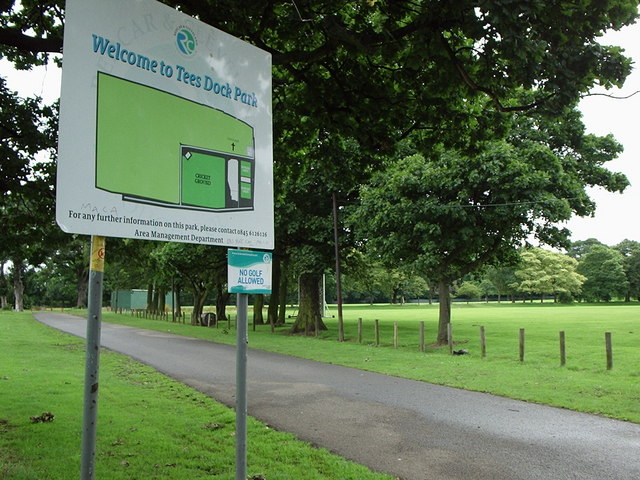
Smith's Dock Park
- Overview Map Street View Officially known today as Tees Dock Park - this park in Normanby, was originally called Recreation Park, donated by the Smith's Dock Company. The company, established …
Co-Curate Page
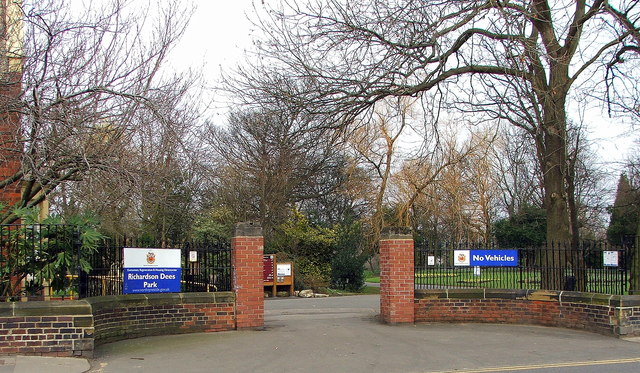
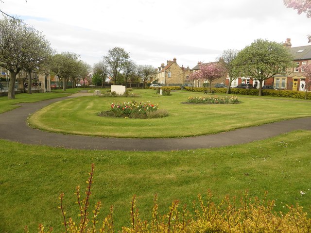
Richardson Dees Park, Wallsend
- Overview Map Street View "In 1897, local solicitor and benefactor Robert Richardson Dees donated fourteen acres of his Hall estate to the Urban District Council for use as a park. …
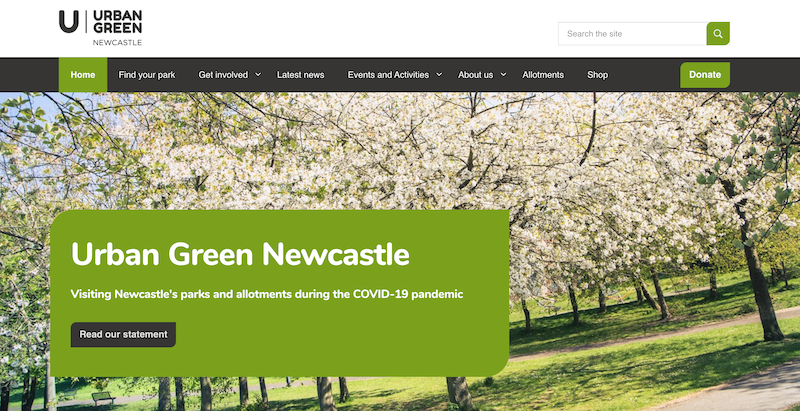
from https://urbangreennewcastle.o…
Urban Green Newcastle
- "Urban Green Newcastle is an independent charity responsible for the management and upkeep of the city’s 33 parks and 61 allotment sites...."
Added by
Simon Cotterill
Co-Curate Page
Summerhill Square and Park
- Overview Map Street View Summerhill Square is an open space formed around the Georgian terraces of Summerhill Grove, Summerhill Terrace and Ravensworth Terrace / Greenfield Place / Swinburne Place. Summerhill Park, at …
Co-Curate Page
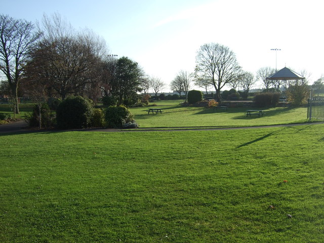
Barnes Park
- Overview About Barnes Park Map Street View Barnes Park is one of the largest public parks in Sunderland. The Borough of Sunderland purchased the land for the park, which follows …
Co-Curate Page
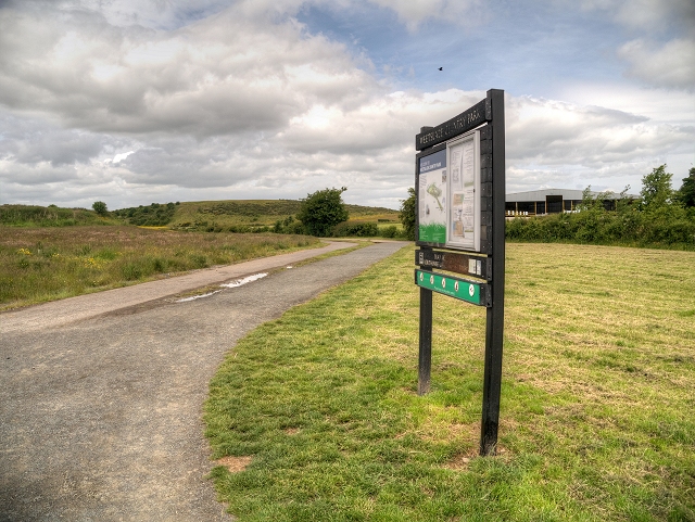
Herrington Country Park
- Overview About Herrington Country Park Map Street View Herrington Country Park ia a large country park and public open space adjacent to the Pehshaw Monument in Sunderland. The park was …
Co-Curate Page
Roker Park
- Overview About Roker Park Map Roker Park, in the Roker area of Sunderland, was opened on 23rd June 1880. The land for the park was donated by Sir Hedworth Williamson, …
Co-Curate Page
Bolam Lake Country Park
- Overview Map Bolam Lake Country Park is located near Bolam, Northumberland and is about 9 miles west of Morpeth and is signposted off the A696 from Belsay. The lake was constructed …
Co-Curate Page
Welfare Park, Horden
- Overview Map Street View Welfare Park is a large park in Horden, County Durham. The park hosts Horden’s rugby, cricket and football teams. The Miners' Welfare Park was originally paid …
Co-Curate Page
Backhouse Park
- Overview Map Street View Backhouse Park is in the suburb of Ashbrooke in Sunderland. It is a natural arboretum with a large variety of trees. The park was acquired in …

Co-Curate Page
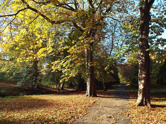
Wharton Park
- Overview Map Street View Wharton Park is a public park situated immediately south of the Railway Station in Durham. The park was created in 1857, by William Lloyd Wharton (1789-1867) …
Co-Curate Page
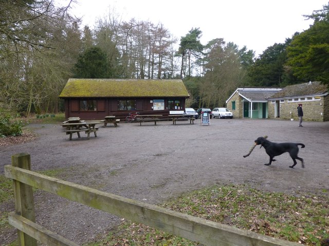
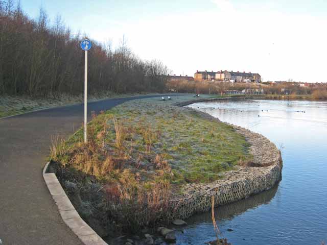
Hetton Lyons Country Park
- Overview Map Street View Hetton Lyons Country Park is located to the east of Hetton-le-Hole. It features a sporting lake, fishing lakes, football pitches and is also part of the …
Co-Curate Page
Hodgkin Park
- Overview Map Street View Hodgkin Park in Benwell was donated to the Benwell Urban District Council in 1899 by Thomas Hodgkin, a wealthy local banker and historian. The park, also …
Co-Curate Page
Weetslade Country Park
- Overview Map Street View Weetslade Country Park is located between Wide Open and Dudley, at the junction B1319 /A189. It was officially opened as Weetslade Country Park by environmentalist David Bellamy …
Co-Curate Page
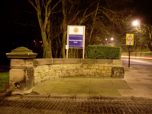
Northumberland Park
- Overview Map Street View Northumberland Park is located in North Shields, and now part of the Tynemouth Conservation Area. History: Northumberland Park was opened by the Duke of Northumberland on …
Co-Curate Page
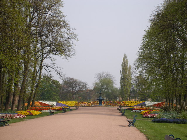
Leazes Park
- Overview About Leazes Park Map Street View Leazes Park is in the centre of Newcastle, with its main entrance on Richardson Road. The 14 hectare park was opened by Sir …

Co-Curate Page
Benwell Nature Park
- Overview About Map Street View Benwell Nature Park was established in 1982 on land cleared by the demolition of two streets of terraced housing and a section of Atkinson Road in …
Co-Curate Page
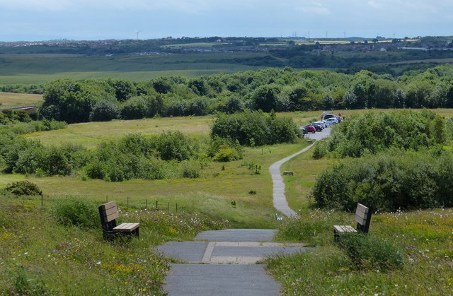
Easington Colliery & Coastal Park
- Overview Map Street View The site of the former Easington Colliery coal mine was transformed into a large coastal park. The park has a network of footpaths running across the former …
Co-Curate Page
Memorial Park
- Overview Map Street View Memorial Park off Front Street in Newbiggin-by-the-Sea commemorate the dead of both World Wars. It was originally opened on the 8th November 1924, in remembrance of …
Co-Curate Page
Ropner Park
- Overview Map Street View Ropner Park is a public park in Stockton-on-Tees. In 1890, Robert Ropner of Preston Hall, donated the money for Stockton-on-Tees Town Council to purchase land known …
Co-Curate Page
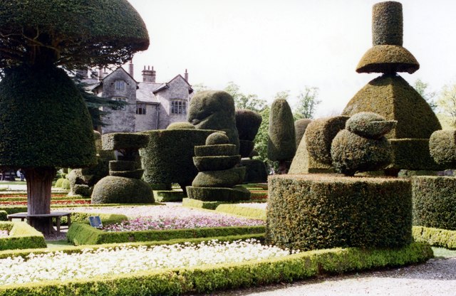
Levens Hall Gounds
- The park and gardens at Levens Hall were laid out by Guillaume Beaumont between 1689 and 1712. They retain almost all of the essential elements of the completed scheme as …
Co-Curate Page
Hutton-in-the-Forest Grounds
- Overview Map Street View "A garden and kitchen garden with early C18 and earlier origins, the garden laid out under the guidance of Anthony Salvin in the later C19, and …
Co-Curate Page
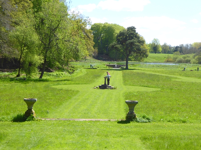
The Grounds of Dalemain
- Overview Map Street View The grounds of Dalemain are a Grade II* listed Park and Garden on the National Heritage List for England.
Co-Curate Page
Bitts Park
- Overview Map Street View Bitts Park in Carlisle is located east and north of Carlisle Castle, by the River Eden, near its confluence with the River Caldew. It was the …
Co-Curate Page
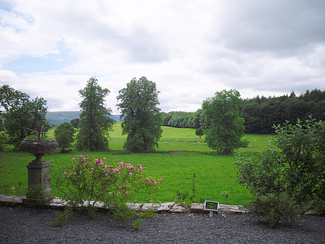
Old Durham Gardens
- Overview Map Street View Walled gardens and a gazebo of the early to mid C17, with mid C18 modifications. Old Durham Gardens are a Grade II listed Parks and Garden …

Co-Curate Page
Grounds and Parkland, Muncaster Castle
- The grounds of Muncaster Castle cover 77 acres and are a Grade II* listed Park and Garden on the National Heritage List for England. The gardens include an 18th century …

Co-Curate Page
Armstrong Park
- Overview Map Street View Armstrong Park in Newcastle, connects with Jesmond Dene and Heaton Park to form a large green space, a short distance north-east of the city centre. Armstrong …
Co-Curate Page
Exhibition Park
- Overview About Exhibition Park Map Street View Exhibition Park is a short walk from Newcastle City Centre; the main entrance is off Claremont Road. It became known as Exhibition Park …
Co-Curate Page
Heaton Park
- Overview Map Street View Heaton Park has a network of footpaths and connects with Armstrong Park, Jesmond Dene and Ouseburn Park. The Pavilion building in the park was refurbished in …
Co-Curate Page
Jesmond Dene
- Overview About Jesmond Dene Map Street View Jesmond Dene is a public park in the valley of the Ouseburn river in Jesmond, Newcastle. The park was originally laid out in …
Co-Curate Page
Mowbray Park
- Summary Map "Mowbray Park first opened in 1857, following a public health enquiry into the cholera epidemic of the 1840s. The enquiry recommended that a park should be built so …
Co-Curate Page
Brandling Park
- Summary Map Brandling Park is road and the name of a small park in the Brandling Village area in the suburb of Jesmond, in Newcastle. The park has a men's …
Co-Curate Page
Ward Jackson Park
- Overview About the Park Map Street View This park in Hartlepool is named after Ralph Ward Jackson (1806 - 1880), who founded West Hartlepool in the 19th century. The park was built …
Co-Curate Page
Ridley Park
- Overview Map Street View Ridley Park was officially opened on the 27th of July 1904 by Lord Ridley in a ceremony with music from the Seaton Delaval Military Band. The …
Co-Curate Page
Rickerby Park
- Overview About Rickerby Park Map Street View Rickerby Park is a public open space in Carlisle, Cumbria on the banks of the River Eden. The parkland is dotted with …
Co-Curate Page
Smith's Dock Park
- Overview Map Street View Officially known today as Tees Dock Park - this park in Normanby, was originally called Recreation Park, donated by the Smith's Dock Company. The company, established …
Co-Curate Page
Richardson Dees Park, Wallsend
- Overview Map Street View "In 1897, local solicitor and benefactor Robert Richardson Dees donated fourteen acres of his Hall estate to the Urban District Council for use as a park. …
from https://urbangreennewcastle.o…
Urban Green Newcastle
- "Urban Green Newcastle is an independent charity responsible for the management and upkeep of the city’s 33 parks and 61 allotment sites...."
Added by
Simon Cotterill
Co-Curate Page
Summerhill Square and Park
- Overview Map Street View Summerhill Square is an open space formed around the Georgian terraces of Summerhill Grove, Summerhill Terrace and Ravensworth Terrace / Greenfield Place / Swinburne Place. Summerhill Park, at …
Co-Curate Page
Barnes Park
- Overview About Barnes Park Map Street View Barnes Park is one of the largest public parks in Sunderland. The Borough of Sunderland purchased the land for the park, which follows …
Co-Curate Page
Herrington Country Park
- Overview About Herrington Country Park Map Street View Herrington Country Park ia a large country park and public open space adjacent to the Pehshaw Monument in Sunderland. The park was …
Co-Curate Page
Roker Park
- Overview About Roker Park Map Roker Park, in the Roker area of Sunderland, was opened on 23rd June 1880. The land for the park was donated by Sir Hedworth Williamson, …
Co-Curate Page
Bolam Lake Country Park
- Overview Map Bolam Lake Country Park is located near Bolam, Northumberland and is about 9 miles west of Morpeth and is signposted off the A696 from Belsay. The lake was constructed …
Co-Curate Page
Welfare Park, Horden
- Overview Map Street View Welfare Park is a large park in Horden, County Durham. The park hosts Horden’s rugby, cricket and football teams. The Miners' Welfare Park was originally paid …
Co-Curate Page
Backhouse Park
- Overview Map Street View Backhouse Park is in the suburb of Ashbrooke in Sunderland. It is a natural arboretum with a large variety of trees. The park was acquired in …
Co-Curate Page
Wharton Park
- Overview Map Street View Wharton Park is a public park situated immediately south of the Railway Station in Durham. The park was created in 1857, by William Lloyd Wharton (1789-1867) …
Co-Curate Page
Hetton Lyons Country Park
- Overview Map Street View Hetton Lyons Country Park is located to the east of Hetton-le-Hole. It features a sporting lake, fishing lakes, football pitches and is also part of the …
Co-Curate Page
Hodgkin Park
- Overview Map Street View Hodgkin Park in Benwell was donated to the Benwell Urban District Council in 1899 by Thomas Hodgkin, a wealthy local banker and historian. The park, also …
Co-Curate Page
Weetslade Country Park
- Overview Map Street View Weetslade Country Park is located between Wide Open and Dudley, at the junction B1319 /A189. It was officially opened as Weetslade Country Park by environmentalist David Bellamy …
Co-Curate Page
Northumberland Park
- Overview Map Street View Northumberland Park is located in North Shields, and now part of the Tynemouth Conservation Area. History: Northumberland Park was opened by the Duke of Northumberland on …
Co-Curate Page
Leazes Park
- Overview About Leazes Park Map Street View Leazes Park is in the centre of Newcastle, with its main entrance on Richardson Road. The 14 hectare park was opened by Sir …
Co-Curate Page
Benwell Nature Park
- Overview About Map Street View Benwell Nature Park was established in 1982 on land cleared by the demolition of two streets of terraced housing and a section of Atkinson Road in …
Co-Curate Page
Easington Colliery & Coastal Park
- Overview Map Street View The site of the former Easington Colliery coal mine was transformed into a large coastal park. The park has a network of footpaths running across the former …
Co-Curate Page
Memorial Park
- Overview Map Street View Memorial Park off Front Street in Newbiggin-by-the-Sea commemorate the dead of both World Wars. It was originally opened on the 8th November 1924, in remembrance of …
Co-Curate Page
Ropner Park
- Overview Map Street View Ropner Park is a public park in Stockton-on-Tees. In 1890, Robert Ropner of Preston Hall, donated the money for Stockton-on-Tees Town Council to purchase land known …
Co-Curate Page
Levens Hall Gounds
- The park and gardens at Levens Hall were laid out by Guillaume Beaumont between 1689 and 1712. They retain almost all of the essential elements of the completed scheme as …
Co-Curate Page
Hutton-in-the-Forest Grounds
- Overview Map Street View "A garden and kitchen garden with early C18 and earlier origins, the garden laid out under the guidance of Anthony Salvin in the later C19, and …
Co-Curate Page
The Grounds of Dalemain
- Overview Map Street View The grounds of Dalemain are a Grade II* listed Park and Garden on the National Heritage List for England.
Co-Curate Page
Bitts Park
- Overview Map Street View Bitts Park in Carlisle is located east and north of Carlisle Castle, by the River Eden, near its confluence with the River Caldew. It was the …
Co-Curate Page
Old Durham Gardens
- Overview Map Street View Walled gardens and a gazebo of the early to mid C17, with mid C18 modifications. Old Durham Gardens are a Grade II listed Parks and Garden …
Co-Curate Page
Grounds and Parkland, Muncaster Castle
- The grounds of Muncaster Castle cover 77 acres and are a Grade II* listed Park and Garden on the National Heritage List for England. The gardens include an 18th century …

Landmarks, Parks and Buildings
Alnwick Garden
Bandstands
Hardwick Park
Leazes Park
Rising Sun Country Park
Wharton Park, Durham