Topics > Cumbria > Rivers in Cumbria > River Ellen
River Ellen
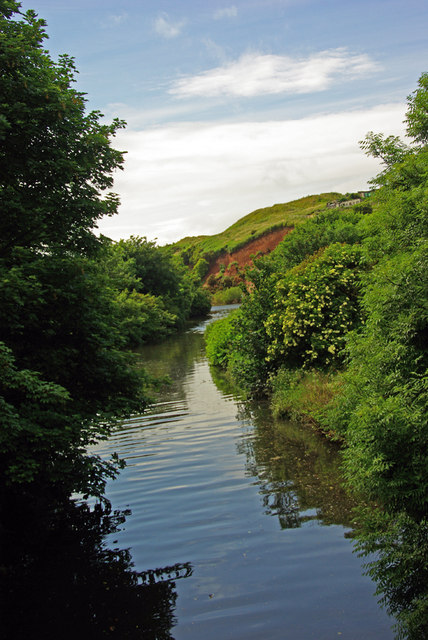
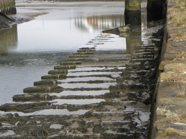
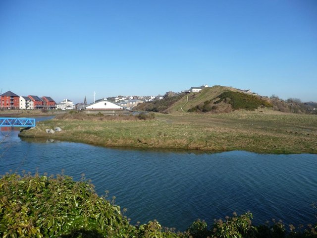
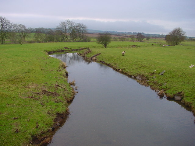
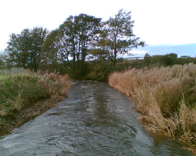
The Ellen is a river in the English county of Cumbria, flowing from Skiddaw in the Northern Fells to the Solway Firth at Maryport. It was historically in the county of Cumberland. It is approximately miles in length.
Course
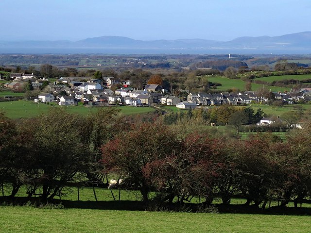
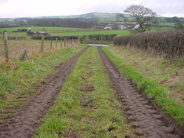
The river rises on the Skiddaw massif, and runs in a generally westerly direction, passing Uldale, Ireby, Boltongate, Baggrow and Blennerhasset parish boundary and Aspatria. From there, it continues southwest (instead of more northwesterly) past Oughterside, Gilcrux, Bullgill, Crosby and Dearham, and skirts the grounds of Netherhall School before flowing into the Solway Firth at Maryport.
Fish
The river contains populations of brown trout, eels, lamprey, minnows, salmon, sea trout, and stickleback.
Tributaries
- Dash Beck
- Gill Gooden
- Row Beck
Visit the page: River Ellen for references and further details. You can contribute to this article on Wikipedia.
Co-Curate Page
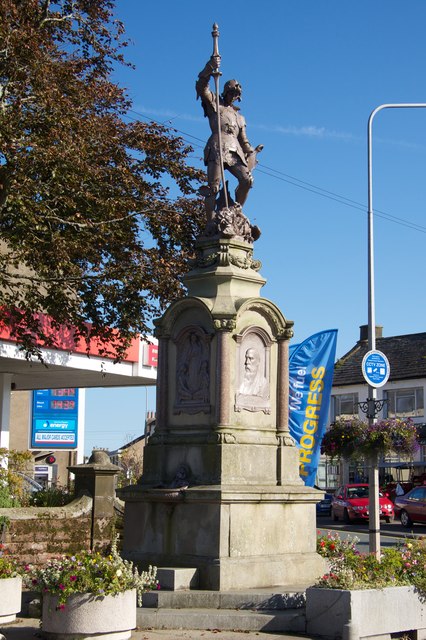
Maryport
- Overview About Maryport Map Street View Maryport is a town and civil parish in the Allerdale borough of Cumbria, England. Historically in Cumberland, it is located on the A596 …
Co-Curate Page
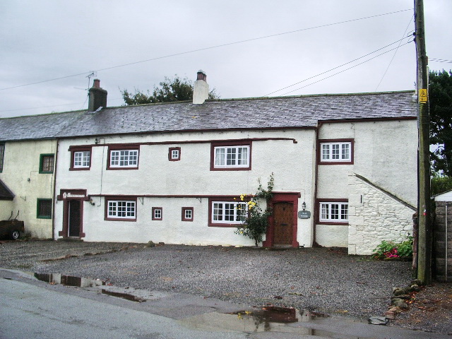
Ireby
- Overview About Ireby Map Street View Ireby is a village in the Allerdale district of Cumbria, located by the River Ellen and about 6 miles south of Wigton. It is part of …
Co-Curate Page
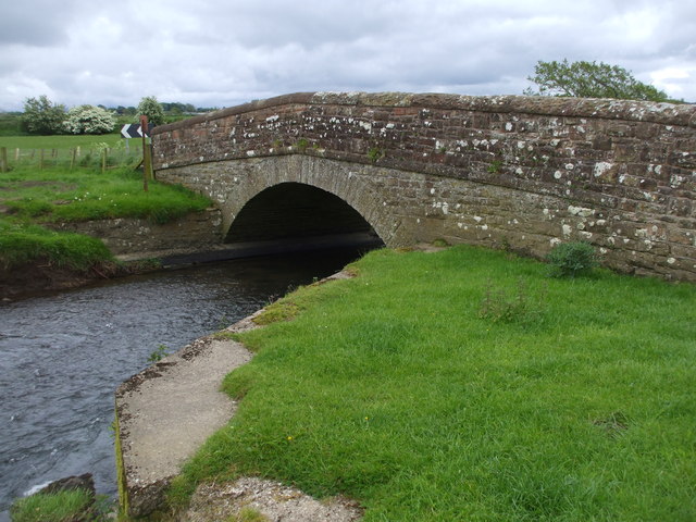
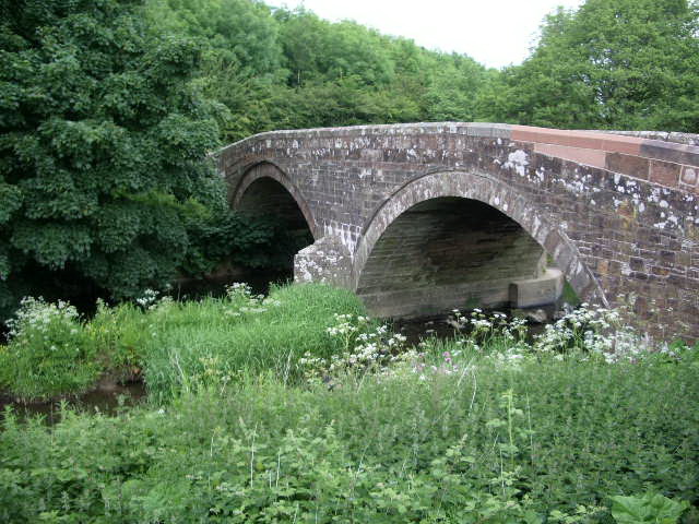
Ellenhall Bridge
- Overview Map Street View Ellenhall Bridge is a red sandstone road bridge over the River Ellen, located in between Girclux and Oughterside in Cumbria. It straddles the civil parishes of …
Co-Curate Page
Harbybrow
- Overview Map Harbybrow (aka Harby Brow) is a farm / hamlet in the Allerdale district of Cumbria. It is situated by the River Ellen and located about 1 mile south-west …

Co-Curate Page
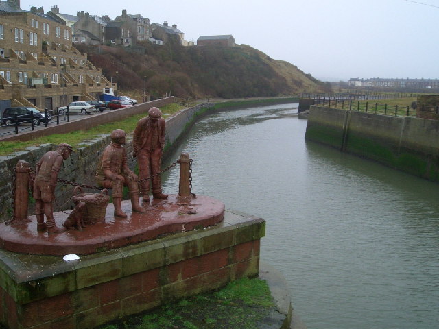
Maryport
- Overview About Maryport Map Street View Maryport is a town and civil parish in the Allerdale borough of Cumbria, England. Historically in Cumberland, it is located on the A596 …
Co-Curate Page
Ireby
- Overview About Ireby Map Street View Ireby is a village in the Allerdale district of Cumbria, located by the River Ellen and about 6 miles south of Wigton. It is part of …
Co-Curate Page
Ellenhall Bridge
- Overview Map Street View Ellenhall Bridge is a red sandstone road bridge over the River Ellen, located in between Girclux and Oughterside in Cumbria. It straddles the civil parishes of …