Topics > Northumberland > Civil Parishes in Northumberland > Beadnell Civil Parish > Historic Buildings and Monuments in Beadnell Civil Parish
Historic Buildings and Monuments in Beadnell Civil Parish
This page includes historic buildings, monuments, and sites in Beadnell Civil Parish in Northumberland, compiled from two sources: a) Listed buildings and scheduled monuments, from the National Heritage List for England[1]. b) the Proposed List of Non designated Heritage Assets of Local Importance ('Local List') from the Bamburgh, Seahouses and Beadnell Neighbourhood Plan.[2] Use the Search in the data table (below) if looking for a specific building / monument, or to filter on a particular area e.g. type: Tughall.
| Structure | List No. | Grade | Built~ | Locality~ | Notes |
|---|---|---|---|---|---|
| Benthall round cairn | 1008430 | n/a | Bronze Age | Beadnell | Scheduled Monument |
| St Ebba's chapel and monastic site | 1008563 | n/a | Norman | Beadnell | Scheduled Monument. Remains of a post-conquest medieval chapel |
| Deserted medieval village and chapel at Tughall | 1014732 | n/a | C12th | Tughall | Scheduled Monument |
| Nos. 1 to 3 the Curtains off the Wynding | 1234879 | II | C18th | Beadnell | |
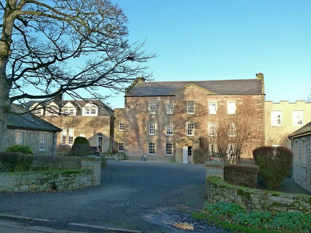
| Beadnell Hall, 1-8 | 1233051 | II* | C17th | Beadnell | |
| Aa Telephone Kiosk Number 817 | 1234878 | II | C20th | Beadnell | Automobile Association telephone booth |
| Annstead House | 1233048 | II | 1810 | Annstead | |
| Bark Pots at the Anchorage | 1393739 | II | C18th | Beadnell | |
| Beadnell Harbour Piers | 1233049 | II | C18th | Beadnell | |
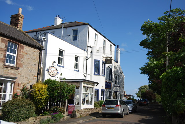
| Beadnell Tower Hotel | 1233312 | II | C18th | Beadnell | |
| Cartshed Circa 60 Yards West of Tughall Farmhouse | 1233266 | II | C19th | Tughall | |
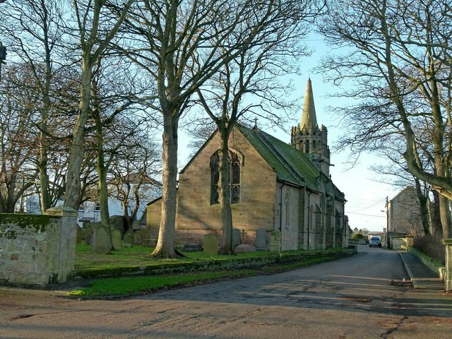
| Church of St Ebba | 1276786 | II | 1740 | Beadnell | |
| Dovecote and Garden Walls to Rear of Tuggal Hall | 1233056 | II | C18th | Tughall | |
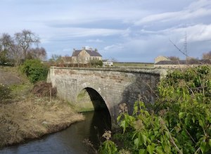
| Fleetham Bridge | 1233058 | II | C19th | West Fleetham | Road bridge over the Long Nanny |
| Fleetham Mill, Mill Building | 1233270 | II | C19th | West Fleetham | |
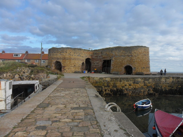
| Lime Kilns to East of Harbour | 1276785 | II | 1789 | Beadnell | |
| Outbuildings Attached to Rear of West Fleetham Farmhouse | 1276663 | II | C18th | West Fleetham | |
| St Ebbas House and Cottage | 1233054 | II | C18th | Beadnell | |
| The Craster Arms | 1276787 | II* | C18th | Beadnell | incl. remains of medieval tower house. |
| The Vicarage | 1276784 | II | c.1860 | Beadnell | |
| Tuggal Hall | 1233055 | II | C17th | Tughall | |
| Tughall Farmhouse | 1233057 | II | c.1830 | Tughall | |
| West Fleetham Farmhouse | 1233059 | II | C16th | West Fleetham | Originally a bastle house |
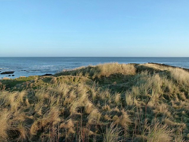
| Bronze Age Cairns, Beadnell Links | - | Local | Bronze Age | Beadnell | |
| Tughall Burn Crop Mark Enclosure | - | Local | Tughall | Photographed from the air in 1981 | |
| Fleetham shrunken medieval village | - | Local | Medieval | West Fleetham | Potential site (disputed) |
| Swinhoe Medieval Fields and Deserted Village | - | Local | Medieval | Rridge and furrow visible | |
| Beadnell Ridge and Furrow | - | Local | Medieval | Beadnell | |
| Rectangular Sandstone Structure | - | Local | Beadnell | ||
| Tuggall Pillbox | - | Local | C20th | Tughall | |
| Pillboxes at West Fleetham | - | Local | C20th | West Fleetham | 2 WW2 pillboxes |
| Beadnell Bay Anti Tank Blocks | - | Local | C20th | Beadnell | |
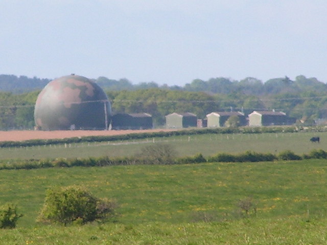
| Brunton Airfield | - | Local | C20th | Built in WW2 | |
| Dell Point Draw Kilns | - | Local | C18th | ||
| Beadnell Old Tramway | - | Local | C19th | Beadnell | From limestone quarry to the harbour lime kilns. |
| Beadnell Links Launch and Winding Gear | - | Local | Beadnell | ||
| Black Huts on Harbour Road | - | Local | Beadnell | ||
| Pillbox east of Swinhoe | - | Local | C20th | ||
| North Sunderland Light Railway | - | Local | 1896 |
1. Primary source: the National Heritage List for England - NHLE is the register of nationally protected historic buildings and sites in England, including listed buildings, scheduled monuments, protected wrecks, registered parks and gardens, and battlefields. The list is maintained by Historic England. Check NHLE for updates and new entries.
Secondary sources: British Listed Buildings and Keys to the Past
2. Non designated Heritage Assets of Local Importance - Bamburgh, Seahouses and Beadnell Neighbourhood Plan, April 2016. Check Beadnell Parish Council for updates and new entries.
Co-Curate Page
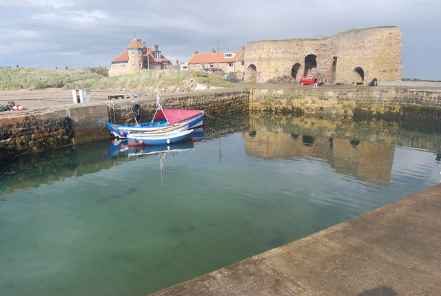
Beadnell Harbour
- Overview Map Street View Beadnell Harbour is located to the south of Beadnell in Northumberland. The present harbour was built in the 18th century and was extended 1798 for John …
Co-Curate Page
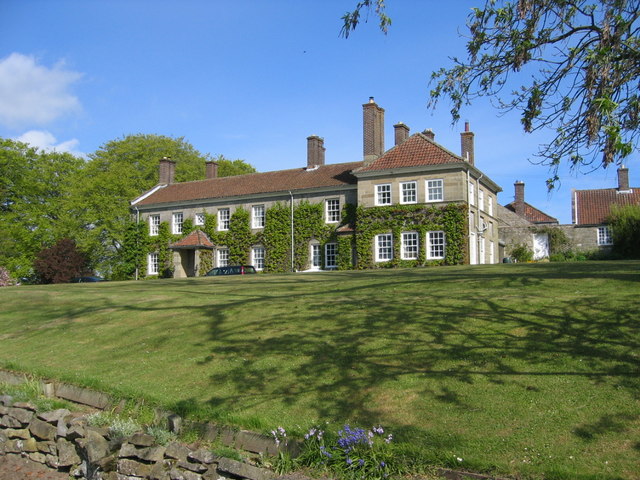
Tuggal Hall
- Overview Map Street View Tuggal Hall is a large country house located in Tughall, near Beadnell, in Northumberland. The house dates from the 17th/early 18th century and is Grade II …
Co-Curate Page
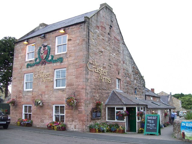
Craster Arms Hotel
- Overview Map Street View The Craster Arms is a hotel, bar and restaurant located on The Wynding in Beadnell. The rear of the building incorporates the remains of a medieval …
Co-Curate Page
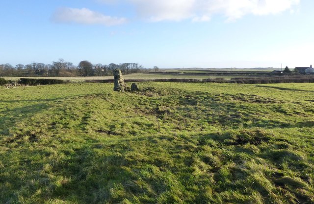
Deserted Medieval Village and Chapel, Tughall
- The village of Tughall was recorded as being part of the barony of Alnwick in 1242. The ruins of its 12th century chapel and its graveyard are located at the …
Co-Curate Page
Fleetham Bridge
- The stone single arched bridge over the Long Nanny at West Freetham, near Beadnell, was built in the early 19th century. The bridge is Grade II listed on the Ntional …
Co-Curate Page
Lime Kilns
- Overview Map Street View To the east of Beadnell harbour are 3 lime kilns, the earliest of which was built in 1789. Limestone was burnt in lime kilns to make …
Co-Curate Page
Brunton Airfield (1942 - 2004)
- Overview Map & Aerial View Street View Brunton Airfield was established in 1942 as a satellite airfield for RAF Milfield, and used for training fighter pilots in World War 2. …
from https://www.seahouses.org/wp-…
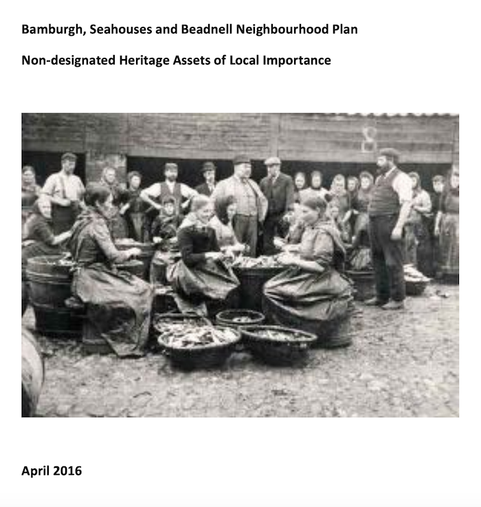
Non designated Heritage Assets of Local Importance
- April 2016 "...It is the desire of the North Northumberland Coastal Neighbourhood Plan group to protect and enhance the distinctive heritage assets of the area. Listed Building and Scheduled Monument …
Added by
Simon Cotterill


Co-Curate Page
Beadnell Harbour
- Overview Map Street View Beadnell Harbour is located to the south of Beadnell in Northumberland. The present harbour was built in the 18th century and was extended 1798 for John …

Co-Curate Page
Tuggal Hall
- Overview Map Street View Tuggal Hall is a large country house located in Tughall, near Beadnell, in Northumberland. The house dates from the 17th/early 18th century and is Grade II …

Co-Curate Page
Craster Arms Hotel
- Overview Map Street View The Craster Arms is a hotel, bar and restaurant located on The Wynding in Beadnell. The rear of the building incorporates the remains of a medieval …

Co-Curate Page
Deserted Medieval Village and Chapel, Tughall
- The village of Tughall was recorded as being part of the barony of Alnwick in 1242. The ruins of its 12th century chapel and its graveyard are located at the …

Co-Curate Page
Fleetham Bridge
- The stone single arched bridge over the Long Nanny at West Freetham, near Beadnell, was built in the early 19th century. The bridge is Grade II listed on the Ntional …

Co-Curate Page
Lime Kilns
- Overview Map Street View To the east of Beadnell harbour are 3 lime kilns, the earliest of which was built in 1789. Limestone was burnt in lime kilns to make …

Co-Curate Page
Brunton Airfield (1942 - 2004)
- Overview Map & Aerial View Street View Brunton Airfield was established in 1942 as a satellite airfield for RAF Milfield, and used for training fighter pilots in World War 2. …

from https://www.seahouses.org/wp-…
Non designated Heritage Assets of Local Importance
- April 2016 "...It is the desire of the North Northumberland Coastal Neighbourhood Plan group to protect and enhance the distinctive heritage assets of the area. Listed Building and Scheduled Monument …
Added by
Simon Cotterill
