Topics > Civil Parishes in Cumbria > Lakes Civil Parish
Lakes Civil Parish
Area: 134.3 km²
Population:
4,280 (2021 Census)
4,420 (2011 Census)
5,127 (2001 Census)
Co-Curate Page
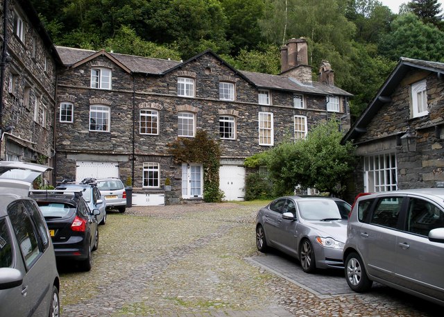
Chapel Stile, Cumbria
- Overview About Chapel Stile Map Street View Chapel Stile is a village in the South Lakeland district of Cumbria, located about 5 miles north-west of Ambleside. Chapel Stile is a …
Co-Curate Page
Ambleside
- Overview About Ambleside Map Street View The town of Ambleside is located in the South Lakeland district of Cumbria and situated at the head of Lake Windermere. Ambleside is a …
Co-Curate Page
Rydal
- Overview About Rydal Map Street View Rydal is a village in Cumbria, England. It is a small cluster of houses, church and hotel on the A591 road midway between …
Co-Curate Page
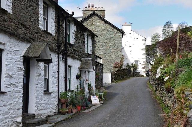
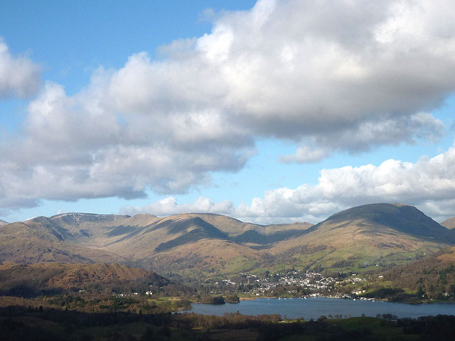
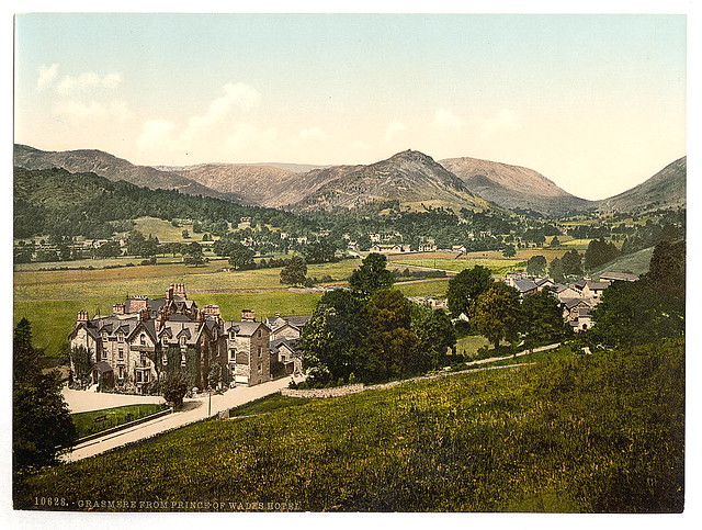
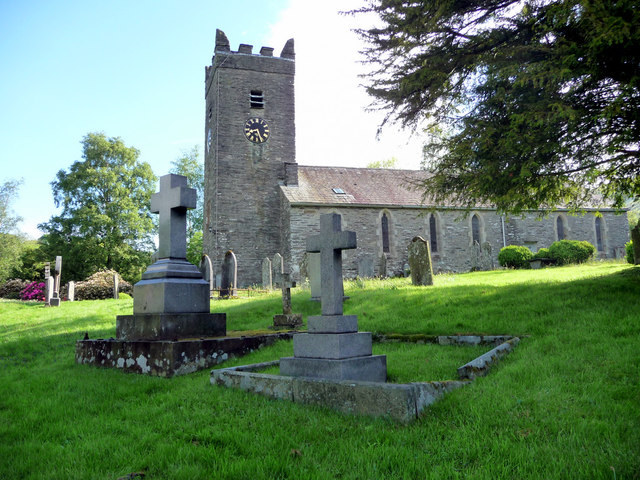
Grasmere
- Overview About Grasmere Map Street View Grasmere is a village and tourist destination in Cumbria, England, in the centre of the Lake District, named after its adjacent lake. It …
Co-Curate Page
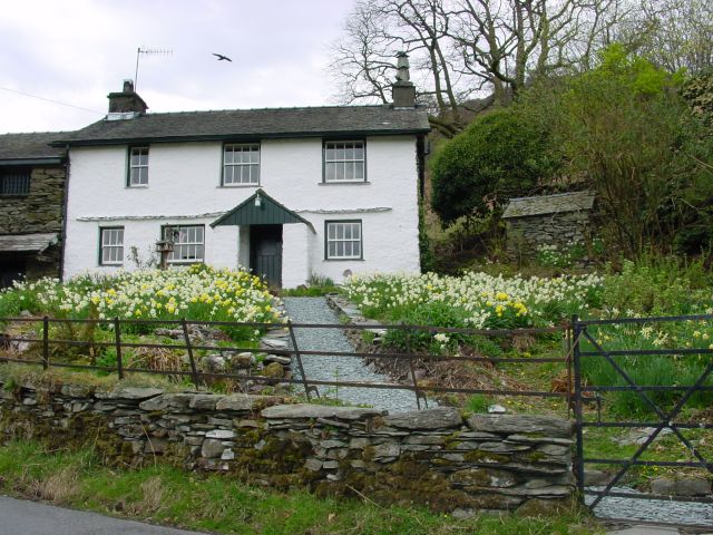
Little Langdale
- Overview About Little Langdale Map Street View Little Langdale is a valley in the Lake District, England containing Little Langdale Tarn and a hamlet also called Little Langdale. A …
Co-Curate Page
Clappersgate
- Overview Map Street View Clappersgate is a village in the South Lakeland district of Cumbria, located on the A593 road, about half a mile south-west of Ambleside. Clappersgate is on the …
Co-Curate Page
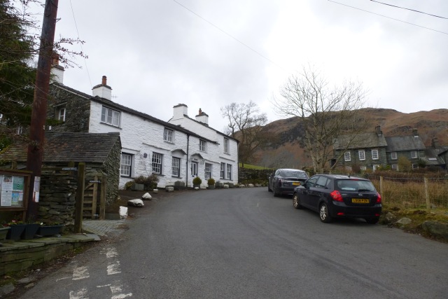
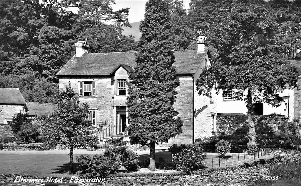
Elterwater
- Overview About Elterwater Map Street View Elterwater is a village in the English Lake District and the county of Cumbria. The village lies half a mile (800 m) north-west …
Co-Curate Page
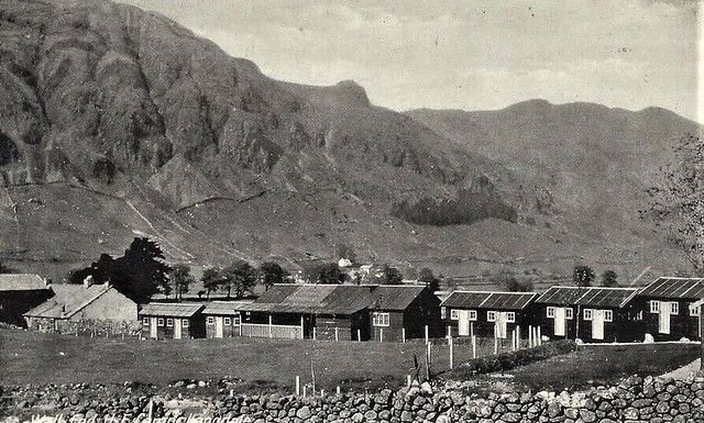
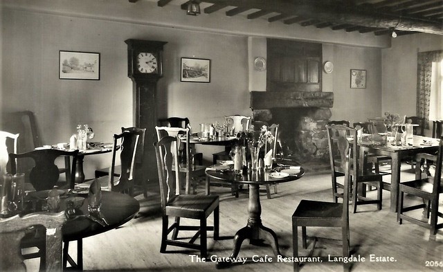
Great Langdale
- Overview About Great Langdale Map Street Great Langdale is a valley in the Lake District National Park in North West England, the epithet Great distinguishing it from the neighbouring …
Co-Curate Page
Troutbeck (Windermere)
- Overview About Troutbeck Map Street View Troutbeck is a village in South Lakeland district in Cumbria, located about 3 miles north of the town of Windermere. The village is situated …
Co-Curate Page
Loughrigg, Ambleside
- Overview Map Street View Loughrigg is a distributed hamlet by Loughrigg Tarn and Loughrigg Fell, located about 1½ miles west of Ambleside and ½ mile north-east of Skelwith Bridge. It …

Co-Curate Page
Chapel Stile, Cumbria
- Overview About Chapel Stile Map Street View Chapel Stile is a village in the South Lakeland district of Cumbria, located about 5 miles north-west of Ambleside. Chapel Stile is a …
Co-Curate Page
Ambleside
- Overview About Ambleside Map Street View The town of Ambleside is located in the South Lakeland district of Cumbria and situated at the head of Lake Windermere. Ambleside is a …
Co-Curate Page
Rydal
- Overview About Rydal Map Street View Rydal is a village in Cumbria, England. It is a small cluster of houses, church and hotel on the A591 road midway between …
Co-Curate Page
Grasmere
- Overview About Grasmere Map Street View Grasmere is a village and tourist destination in Cumbria, England, in the centre of the Lake District, named after its adjacent lake. It …
Co-Curate Page
Little Langdale
- Overview About Little Langdale Map Street View Little Langdale is a valley in the Lake District, England containing Little Langdale Tarn and a hamlet also called Little Langdale. A …
Co-Curate Page
Clappersgate
- Overview Map Street View Clappersgate is a village in the South Lakeland district of Cumbria, located on the A593 road, about half a mile south-west of Ambleside. Clappersgate is on the …
Co-Curate Page
Elterwater
- Overview About Elterwater Map Street View Elterwater is a village in the English Lake District and the county of Cumbria. The village lies half a mile (800 m) north-west …
Co-Curate Page
Great Langdale
- Overview About Great Langdale Map Street Great Langdale is a valley in the Lake District National Park in North West England, the epithet Great distinguishing it from the neighbouring …
Co-Curate Page
Troutbeck (Windermere)
- Overview About Troutbeck Map Street View Troutbeck is a village in South Lakeland district in Cumbria, located about 3 miles north of the town of Windermere. The village is situated …


