Topics > Civil Parishes in Cumbria > Hutton Civil Parish
Hutton Civil Parish
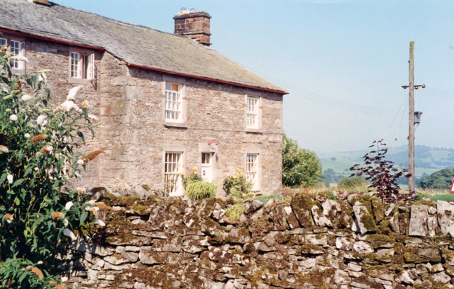
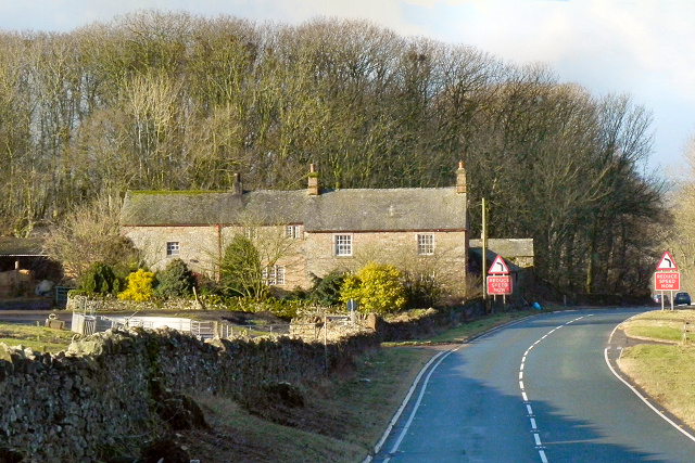
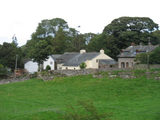
Hutton is a civil parish in the Eden district of Cumbria, located to the west of Penrith. Within the parish is the village of Penruddock and several hamlets, including Beckces, Highgate, Hutton, Hutton John, Kirkbarrow, Springfield, Stoddah, Troutbeck and Whitbarrow. The civil parish of Hutton was formed in 1934 from the merger of the parishes of Hutton John and Hutton Soil.
Area: 21.6 km²
Population:
447 (2021 Census)
438 (2011 Census)
417 (2001 Census)
Hutton is a small civil parish about 6 miles (9.7 km) west of Penrith in the English county of Cumbria. The parish contains the small mansion and former pele tower of Hutton John, the seat of the Hudleston family.
At the UK census 2011 the parish had a population of 438.
The parish of Hutton was created in 1934 from the merger of Hutton John and Hutton Soil parishes, both of which were formerly part of the original ecclesiastical and civil parish of Greystoke. The parish also includes the larger village of Penruddock and the hamlets of Troutbeck and Beckces. Whitbarrow holiday village is also within the parish. Administratively, Hutton forms part of Eden District. It has a parish council, the lowest tier of local government.
Listed buildings
There are 13 listed buildings in the parish. Hutton John, mentioned above, is Grade I and the remainder are Grade II.
Visit the page: Hutton, Cumbria for references and further details. You can contribute to this article on Wikipedia.
Co-Curate Page
Penruddock
- Overview About Penruddock Map Street View PENRUDDOCK, a hamlet, in the parish of Greystock, union of Penrith, Leath ward, E. division of Cumberland, 6¼ miles (W. by S.) from Penrith. …
Co-Curate Page
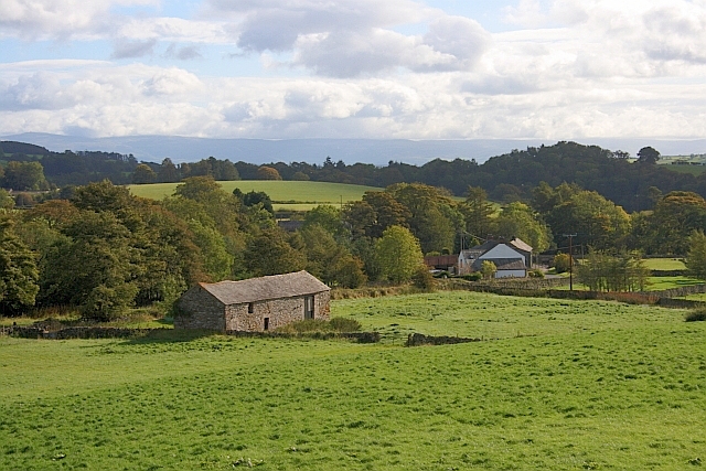
Hutton
- Overview Map Street View Hutton is a hamlet in Cumbria, located about 5 miles south-west of Penrith and just over half a mile south of the village of Penruddock. It is …
Co-Curate Page
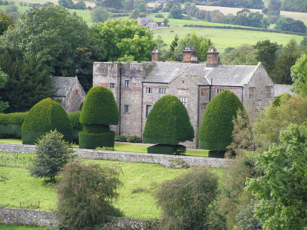
Hutton John
- Overview Map Street View Hutton John is a large fortified manor house, located near the hamlet of Hutton, about 5 miles south-west of Penrith in Cumbria. The manor house was …
from https://www.cumbriacountyhist…
Hutton John
- "Township in Greystoke parish, Leath ward, Cumberland. Combined with Hutton Soil to form Hutton CP 1934.
Acreage:
690 acres [279 ha], including detached portion of 133 acres [54 ha] at …
Added by
Simon Cotterill

from https://www.cumbriacountyhist…
Hutton Soil
- "Township in Greystoke parish, Leath ward, Cumberland, which included villages of Penruddock and Troutbeck. Combined with Hutton John to form Hutton CP 1934.
Acreage:
4,349 acres [1,760 ha] before acquiring …
Added by
Simon Cotterill
from http://www.huttonparishcounci…
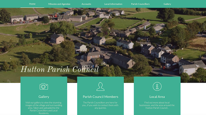
Hutton Parish Council
- "Hutton Parish, formerly the Township of Hutton Soil, is situated on the northern boundary of the Lake District National Park. The parish is centred on Penruddock Village and includes the …
Added by
Simon Cotterill
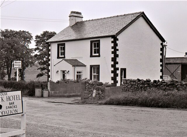
Co-Curate Page
Troutbeck, Eden
- Overview About Troutbeck Map Street View Troutbeck is a hamlet within Cumbria, England, a few miles to the west of Penrith. It was previously in the county of Cumberland. …


Co-Curate Page
Penruddock
- Overview About Penruddock Map Street View PENRUDDOCK, a hamlet, in the parish of Greystock, union of Penrith, Leath ward, E. division of Cumberland, 6¼ miles (W. by S.) from Penrith. …

Co-Curate Page
Hutton
- Overview Map Street View Hutton is a hamlet in Cumbria, located about 5 miles south-west of Penrith and just over half a mile south of the village of Penruddock. It is …

Co-Curate Page
Hutton John
- Overview Map Street View Hutton John is a large fortified manor house, located near the hamlet of Hutton, about 5 miles south-west of Penrith in Cumbria. The manor house was …

from https://www.cumbriacountyhist…
Hutton John
- "Township in Greystoke parish, Leath ward, Cumberland. Combined with Hutton Soil to form Hutton CP 1934.
Acreage:
690 acres [279 ha], including detached portion of 133 acres [54 ha] at …
Added by
Simon Cotterill

from https://www.cumbriacountyhist…
Hutton Soil
- "Township in Greystoke parish, Leath ward, Cumberland, which included villages of Penruddock and Troutbeck. Combined with Hutton John to form Hutton CP 1934.
Acreage:
4,349 acres [1,760 ha] before acquiring …
Added by
Simon Cotterill

from http://www.huttonparishcounci…
Hutton Parish Council
- "Hutton Parish, formerly the Township of Hutton Soil, is situated on the northern boundary of the Lake District National Park. The parish is centred on Penruddock Village and includes the …
Added by
Simon Cotterill

