Topics > Northumberland > Civil Parishes in Northumberland > Hexhamshire Civil Parish
Hexhamshire Civil Parish
Area: 95.6 km²
Population:
685 (2021 Census)
697 (2011 Census)
730 (2001 Census)

from http://www.hexhamshire.org.uk/
Hexhamshire Parish Council
- Official Website of the parish.
Added by
Simon Cotterill
Co-Curate Page
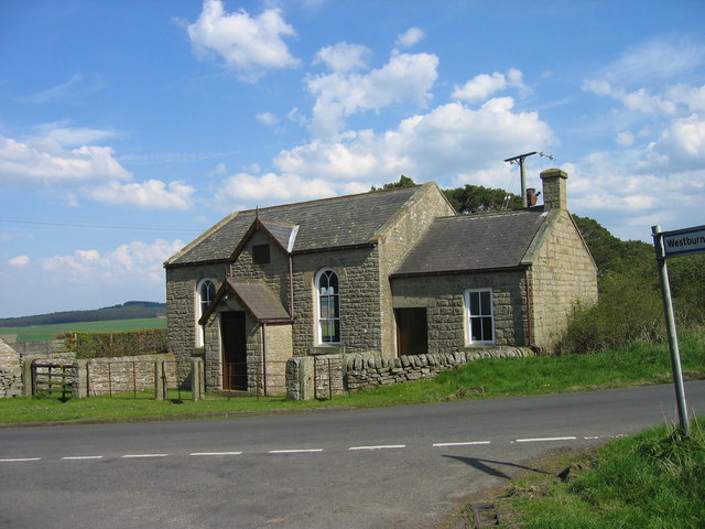
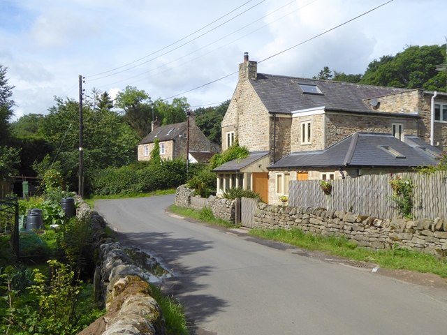
Whitley Chapel
- Overview About Whitley Chapel Map Street View Whitley Chapel is a village in Northumberland, located about 4 miles south of Hexham. It is within the civil parish of Hexhamshire. The parish …
Co-Curate Page
Whitley Mill
- Whitley Mill is a hamlet located by Rowley Burn, just north of Whitley Chapel in Hexhamshire, Northumberland. The name derives from a mill which was once at this location during …

from IllustratedChronicles (flickr)
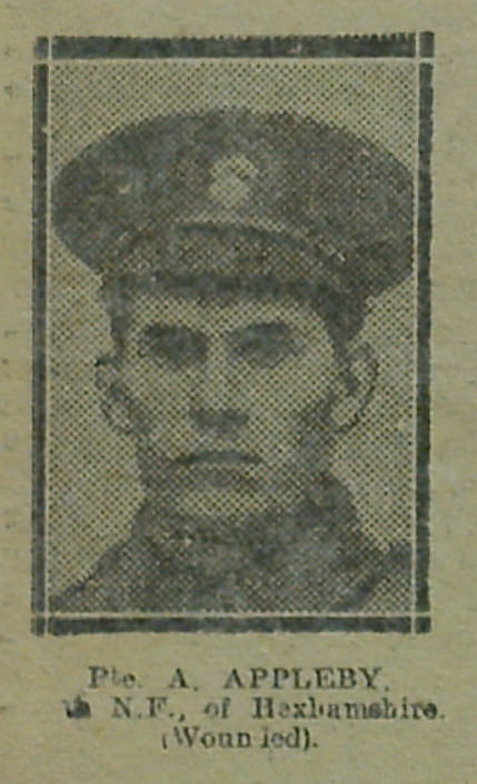
Percy Appleby - ?th NF - Hexhamshire (Wounded)
Pinned by Simon Cotterill
from IllustratedChronicles (flickr)
A Appleby - ?th NF - Hexhamshire (Wounded)
Pinned by Simon Cotterill
from IllustratedChronicles (flickr)
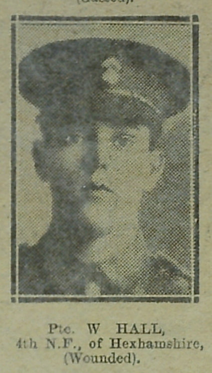
W Hall - 4th NF - Hexhamshire (Wounded)
Pinned by Simon Cotterill
Co-Curate Page
Mollersteads
- Overview Map Street View Mollersteads is a farm / hamlet by Rowley Burn, to the east of Whitley Mill and about half a mile north of Whitley Chapel, in Hexhamshire, Northumberland. …
Co-Curate Page
Juniper
- Overview Map Street View Juniper is a hamlet in Hexhamshire, Northumberland. It is located by Rowley Burm and about a mile north-east of Whitley Chapel and 3 miles south of Hexham.
Co-Curate Page
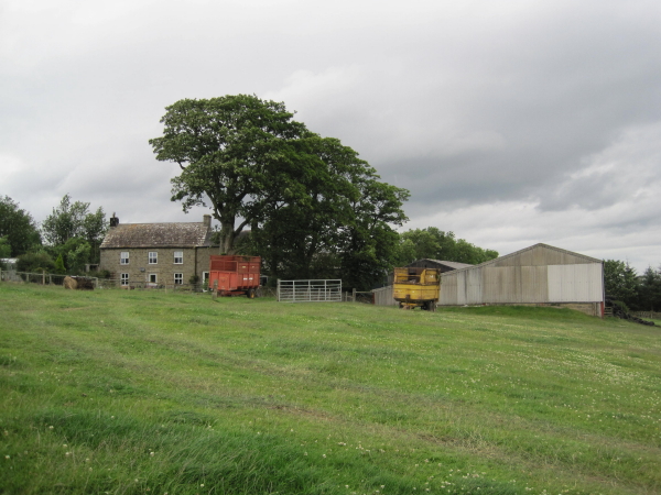
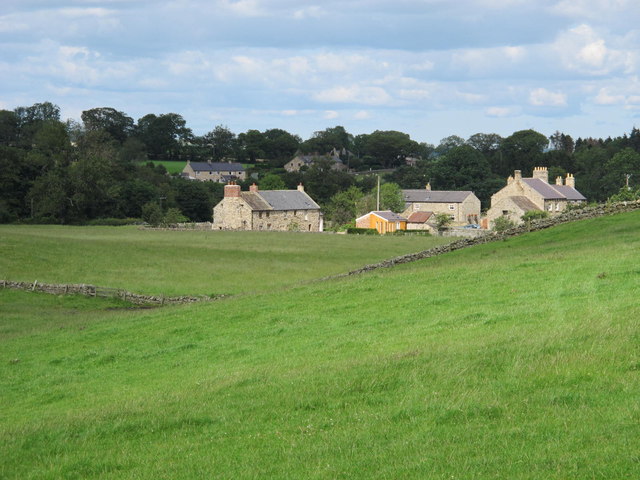
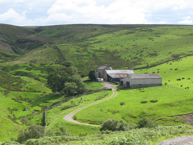
Harwood Shield
- Overview Map Harwood Shield is a farm / hamlet in Northumberland, located about 8 miles south of Hexham and 3½ miles west of Blanchland. The farmhouse here dates from the …
Co-Curate Page
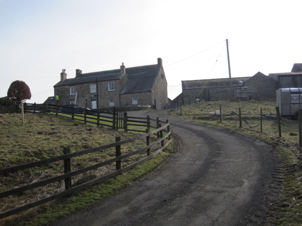
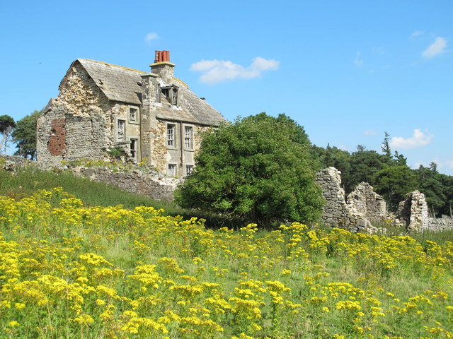
Riddlehamhope
- Overview Map On the east side of Riddlehamhope Fell in Northumberland, near Beldon Burn, stood Riddlehamhope Hall. The buildng was originally a bastle and later converted for use as a …
Co-Curate Page
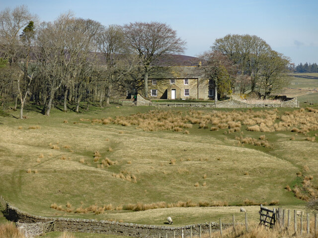
Heatheryburn, Northumberland
- Overview Map Heatheryburn is a farm in Northumberland, located by Riddlehamhope Fell, near the confluence of Heathery Burn and Beldon Burn.
Co-Curate Page
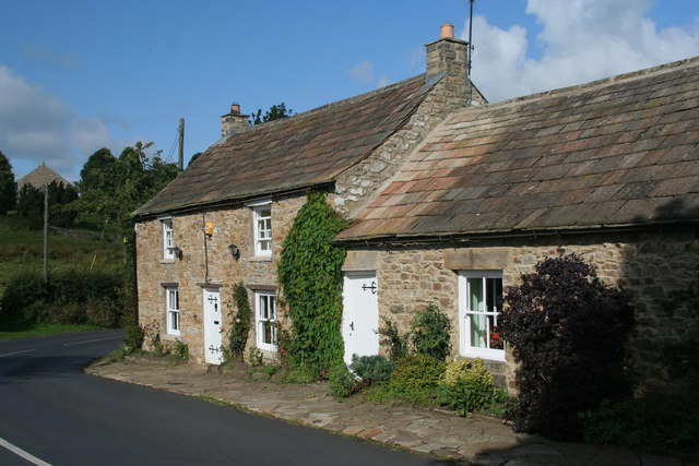
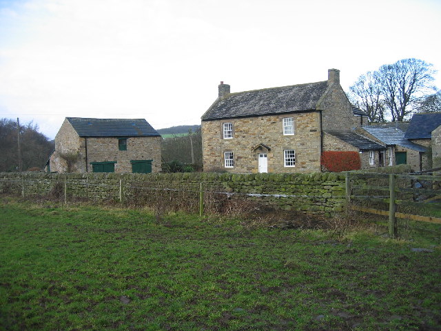
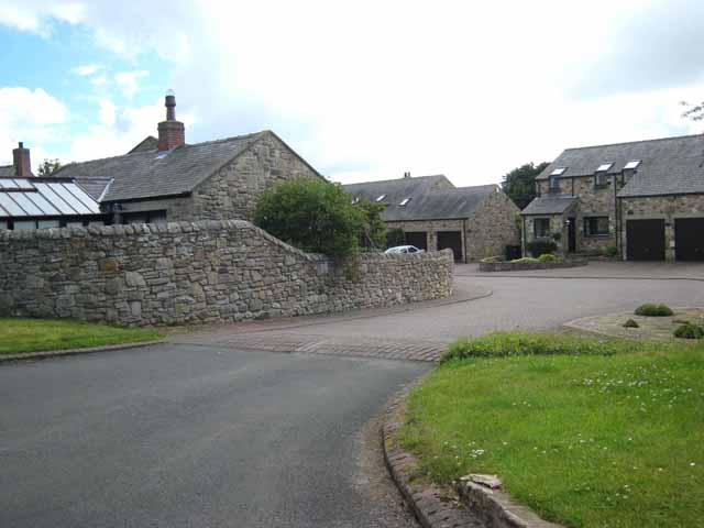
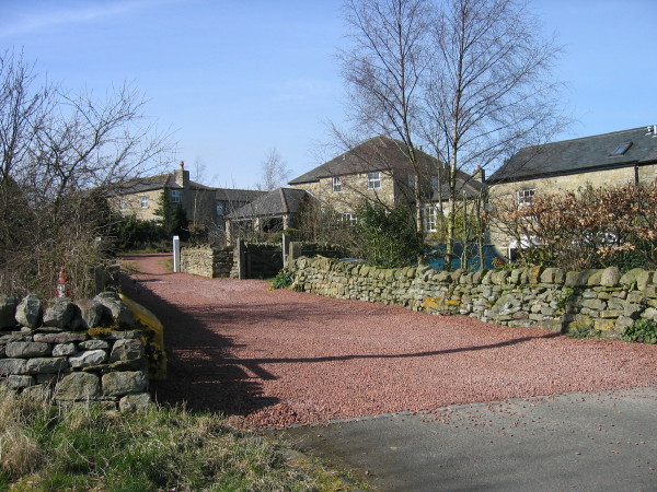
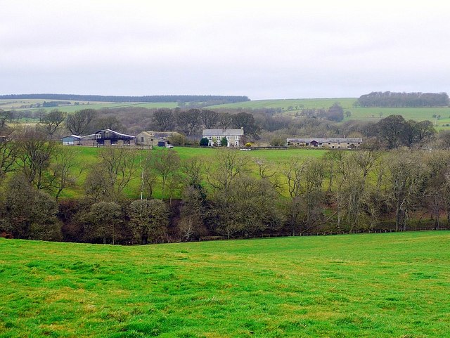
Dalton
- Overview Map Street View The hamlets of Dalton and Low Dalton are located near Whitley Chapel, to the south of Hexham in Northumberland. Low Dalton Cottages date from the 18th …

from http://www.hexhamshire.org.uk/
Hexhamshire Parish Council
- Official Website of the parish.
Added by
Simon Cotterill
Co-Curate Page
Whitley Chapel
- Overview About Whitley Chapel Map Street View Whitley Chapel is a village in Northumberland, located about 4 miles south of Hexham. It is within the civil parish of Hexhamshire. The parish …
Co-Curate Page
Whitley Mill
- Whitley Mill is a hamlet located by Rowley Burn, just north of Whitley Chapel in Hexhamshire, Northumberland. The name derives from a mill which was once at this location during …
from IllustratedChronicles (flickr)
Percy Appleby - ?th NF - Hexhamshire (Wounded)
Pinned by Simon Cotterill
from IllustratedChronicles (flickr)
A Appleby - ?th NF - Hexhamshire (Wounded)
Pinned by Simon Cotterill
from IllustratedChronicles (flickr)
W Hall - 4th NF - Hexhamshire (Wounded)
Pinned by Simon Cotterill
Co-Curate Page
Mollersteads
- Overview Map Street View Mollersteads is a farm / hamlet by Rowley Burn, to the east of Whitley Mill and about half a mile north of Whitley Chapel, in Hexhamshire, Northumberland. …
Co-Curate Page
Juniper
- Overview Map Street View Juniper is a hamlet in Hexhamshire, Northumberland. It is located by Rowley Burm and about a mile north-east of Whitley Chapel and 3 miles south of Hexham.
Co-Curate Page
Harwood Shield
- Overview Map Harwood Shield is a farm / hamlet in Northumberland, located about 8 miles south of Hexham and 3½ miles west of Blanchland. The farmhouse here dates from the …
Co-Curate Page
Riddlehamhope
- Overview Map On the east side of Riddlehamhope Fell in Northumberland, near Beldon Burn, stood Riddlehamhope Hall. The buildng was originally a bastle and later converted for use as a …
Co-Curate Page
Heatheryburn, Northumberland
- Overview Map Heatheryburn is a farm in Northumberland, located by Riddlehamhope Fell, near the confluence of Heathery Burn and Beldon Burn.