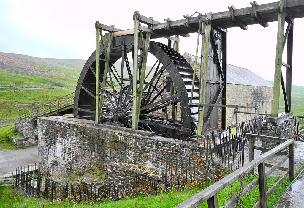
Topics > Northumberland > Civil Parishes in Northumberland > Hexhamshire Civil Parish > Bridge over Linn Burn
Bridge over Linn Burn
This bridge over Linn Burn is located on Allendale Common, about 2 miles east of Sinderhope. It dates from the late 18th century and was part of the Long Drag track, constructed for the transport of lead ore from the Allendale mines to Dukesfield Smelt Mill. The bridge is Grade II listed on the National Heritage List for England.
from https://www.geograph.org.uk/p…
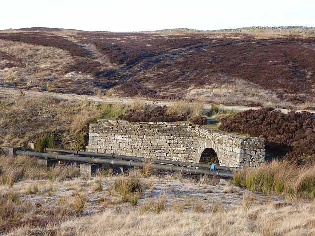
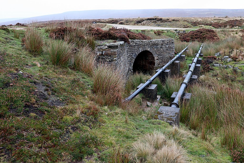
Bridge and pipe lines over the Linn Burn
- Here the bridleway from Harwood Shield to Allendale Town runs jointly with the "Long Drag", an estate road linking Whitley Chapel and Spartylea. The pipe lines run from the Ladle's …
Added by
Simon Cotterill

from https://historicengland.org.u…
Bridge Over Linn Burn - Hexhamshire - List Entry
- Bridge, probably late C18. Roughly-squared stone. Round-arched tunnel with splayed flat-coped wing walls on south. Flanking walls on north partly fallen.
Included for historical interest. The Long Drag was constructed …
Added by
Simon Cotterill
from https://www.geograph.org.uk/p…
Water pipe-line east of Ladle Well
- Photo by Andrew Curtis, 13 October, 2020, Geograph, CC-BY-SA 2.0
Added by
Simon Cotterill

from https://www.geograph.org.uk/p…
Bridge and pipe lines over the Linn Burn
- Here the bridleway from Harwood Shield to Allendale Town runs jointly with the "Long Drag", an estate road linking Whitley Chapel and Spartylea. The pipe lines run from the Ladle's …
Added by
Simon Cotterill
from https://historicengland.org.u…
Bridge Over Linn Burn - Hexhamshire - List Entry
- Bridge, probably late C18. Roughly-squared stone. Round-arched tunnel with splayed flat-coped wing walls on south. Flanking walls on north partly fallen.
Included for historical interest. The Long Drag was constructed …
Added by
Simon Cotterill
from https://www.geograph.org.uk/p…
Water pipe-line east of Ladle Well
- Photo by Andrew Curtis, 13 October, 2020, Geograph, CC-BY-SA 2.0
Added by
Simon Cotterill