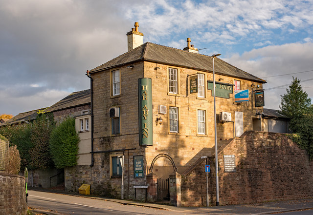
Harraby
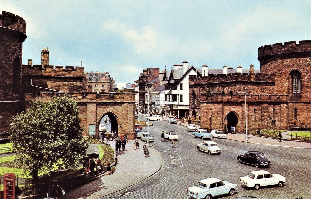
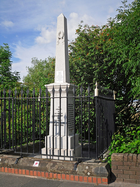
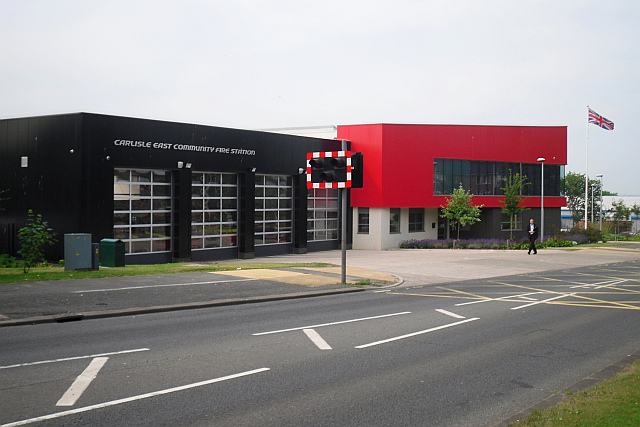
Harraby is an area of Carlisle located on the eastern side of the River Petteril, about 1 mile south-east of the city centre. It was previously a separate village before the expansion of Carlisle. Harraby itself grew substantially with a major expansion of housing from 1948 to 1955 and development of industrial estates in the later 20th century. Harraby Bridge carries London Road over the River Petteril; Harraby War Memorial is located by the bridge. Lady Gillford's House and the Carlisle Archive Centre are located on Petteril Bank Road.
HARRABY, a township, in the parish of St. Cuthbert, Carlisle, Cumberland ward, union of Carlisle, E. division of Cumberland, 1¾ mile (S.E.) from the city of Carlisle; containing 55 inhabitants. It is on the road to Penrith.
Extract from: A Topographical Dictionary of England comprising the several counties, cities, boroughs, corporate and market towns, parishes, and townships..... 7th Edition, by Samuel Lewis, London, 1848.
Co-Curate Page
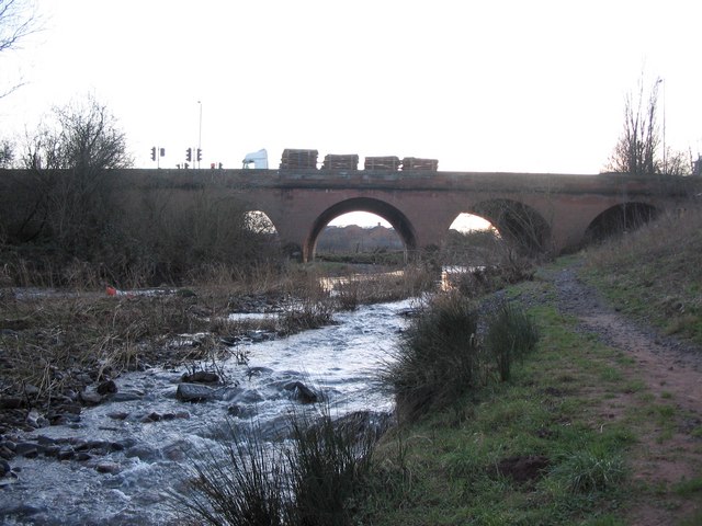
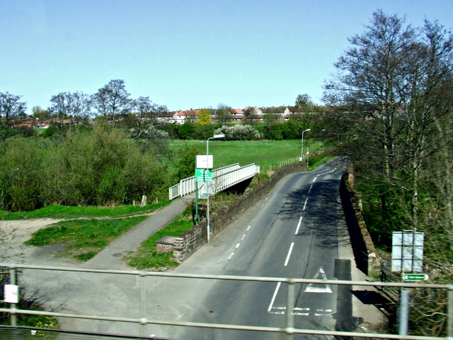
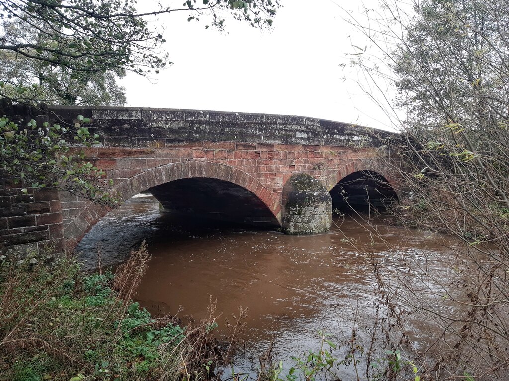
Upperby Bridge
- Overview Map Street View The bridge connects the Upperby and Harraby areas of Carlisle, carrying Petteril Bank Road over the River Petteril. A pedestrian bridge over the Petteril stands a …

Co-Curate Page
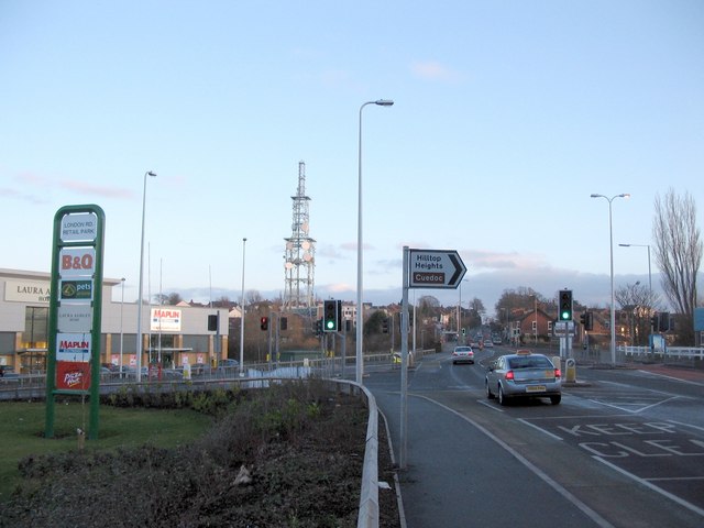
London Road
- London Road in Carlisle continues from Botchergate in the city cente and runs south-east, through Harraby, Carleton and beyond. The route was originally a Turnpike road run by the Carlisle …
Co-Curate Page
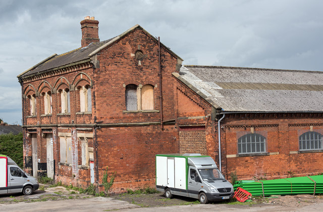
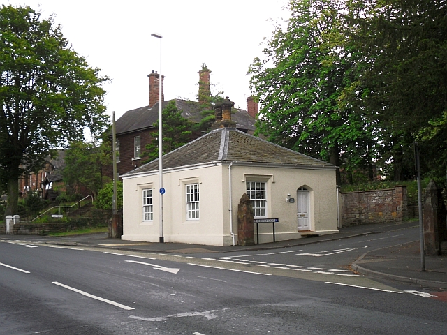
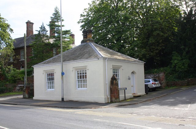
Harraby Toll Cottage
- Overview Map Street View No.258, London Road in Carlisle is the former cottage for the Harraby Toll Gate of the Carlisle to Eamont Bridge Turnpike (established 1752). The cottage was …

Co-Curate Page
Upperby Bridge
- Overview Map Street View The bridge connects the Upperby and Harraby areas of Carlisle, carrying Petteril Bank Road over the River Petteril. A pedestrian bridge over the Petteril stands a …
Co-Curate Page
London Road
- London Road in Carlisle continues from Botchergate in the city cente and runs south-east, through Harraby, Carleton and beyond. The route was originally a Turnpike road run by the Carlisle …
Co-Curate Page
Harraby Toll Cottage
- Overview Map Street View No.258, London Road in Carlisle is the former cottage for the Harraby Toll Gate of the Carlisle to Eamont Bridge Turnpike (established 1752). The cottage was …