Topics > Crook of Lune (Cumbria) > Crook of Lune Bridge
Crook of Lune Bridge
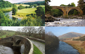
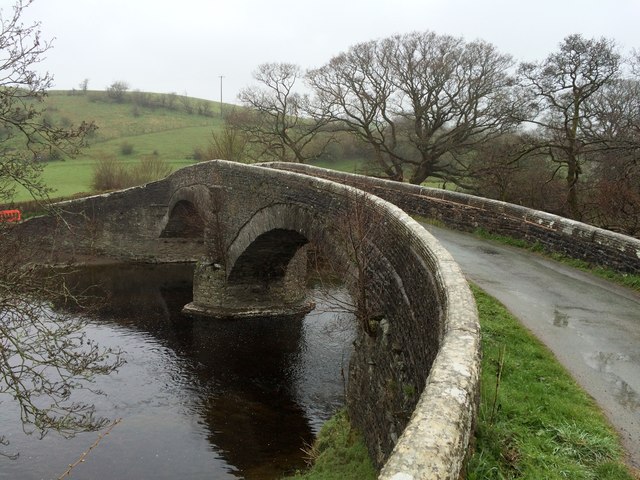
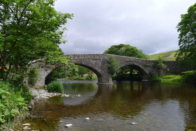
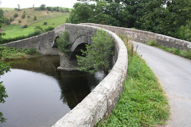
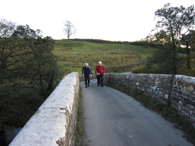
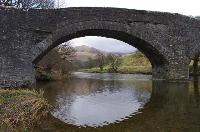
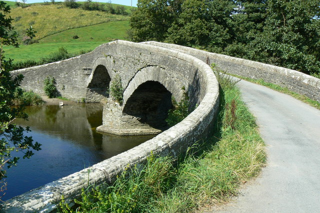
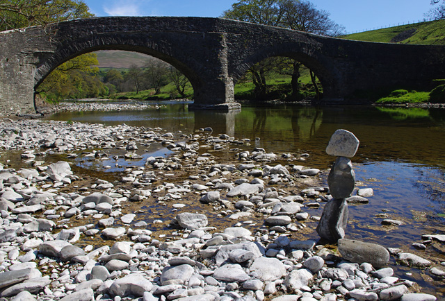
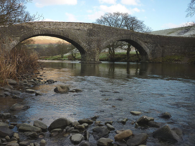
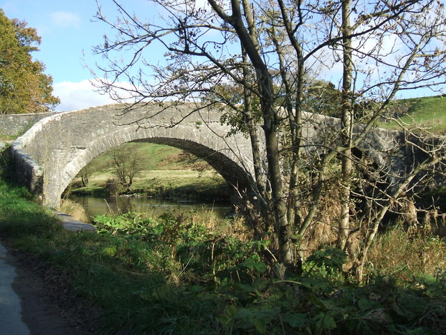
This stone road bridge over the River Lune, near Lowgill in Cumbria, was built in the 16th century or possibly earlier. The bridge formed part of ancient north-south route along Lunesdale, used in the 17th and 18th century by drovers[1] (drovering - moving livestock on foot, such as to market or seasonal grazing grounds). The bridge straddles the civil parishes of Grayrigg and Sedbergh. It is Grade II* listed on the National Heritage List for England. Note: this is the bridge at the Crook of Lune in Cumbria, not to be confused with the Crook O' Lune by Caton in Lancashire, which is about 20 miles to the south, where there is also a stone road bridge and former rail bridges!

from https://historicengland.org.u…
CROOK OF LUNE BRIDGE - List Entry
- "Public road bridge over River Lune. Believed to be C16 or earlier; altered. Roughly coursed mixed rubble.....Humped and unusually narrow deck (approx. 2 metres), rising from west end and protected …
Added by
Simon Cotterill
Co-Curate Page
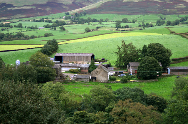
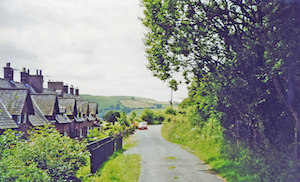
Lowgill
- Overview Map Street View Lowgill is a hamlet by the River Lune in Cumbria, located about 7 miles north-west of Kendal and 4 miles north-east of Sedbergh. Lowgill was an …
Co-Curate Page
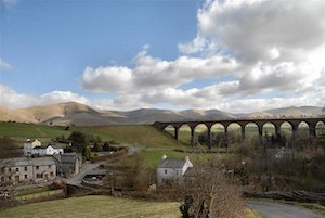
Beck Foot
- Overview Map Street View Beck Foot is a hamlet near Lowgill in Cumbria, located about 6 miles north-east of Kendal. Lowgill Viaduct crosses the beck, which gives the settlement it's …

from https://historicengland.org.u…
CROOK OF LUNE BRIDGE - List Entry
- "Public road bridge over River Lune. Believed to be C16 or earlier; altered. Roughly coursed mixed rubble.....Humped and unusually narrow deck (approx. 2 metres), rising from west end and protected …
Added by
Simon Cotterill
Co-Curate Page
Lowgill
- Overview Map Street View Lowgill is a hamlet by the River Lune in Cumbria, located about 7 miles north-west of Kendal and 4 miles north-east of Sedbergh. Lowgill was an …