Topics > County Durham > Craghead
Craghead
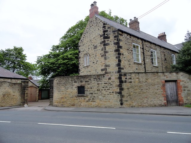
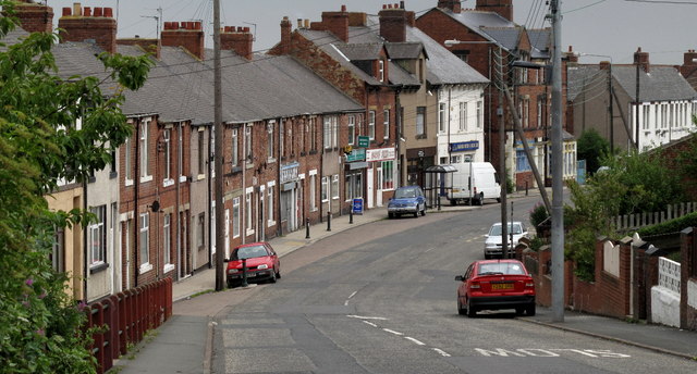
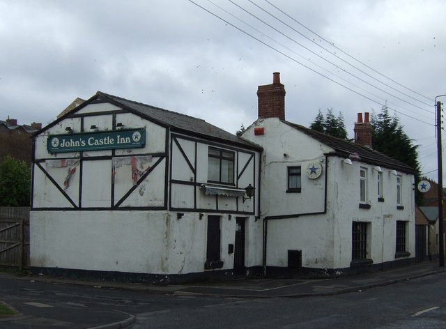
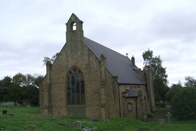
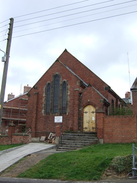
Craghead is a village in County Durham, located about 1½ miles south-east of Stanley and 5½ miles north-west of Durham. It was originally a hamlet of a few houses and John's Castle Inn, but grew rapidly in association with coal mining, particularly Craghead Colliery, which opened in 1839. As it's population grew, Craghead was made a civil parish in 1896 (created from parts of Lanchester and Edmondsley civil parishes)[1] and an ecclesiastical (church) parish in c.1912 (St Thomas' parish church built in 1911). In 1937 Craghead Civil Parish was abolished, and mostly subsumed into Stanley Civil Parish, and some parts into Lanchester Civil Parish. Today, the village of Craghead forms part of the Stanley Town Council area. Bloemfontein Primary School is located near to the village.
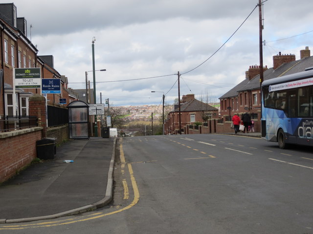
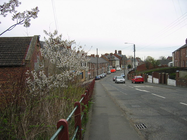
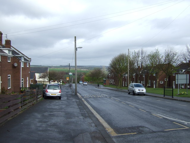
Craghead is a former mining village in County Durham, England. It is located at the bottom of the valley to the south of Stanley, on the main road between Stanley and Durham, and not far from the village of Edmondsley.
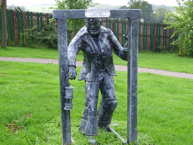
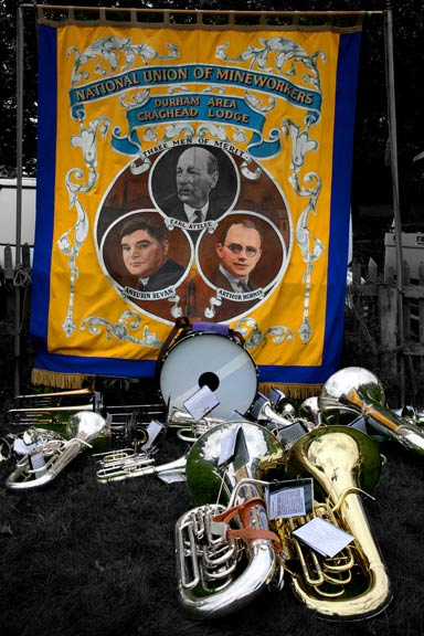
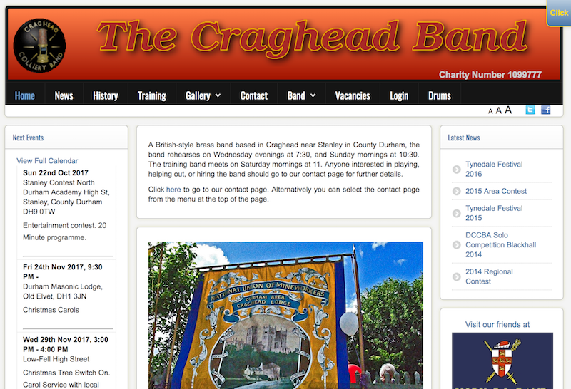
The village still has some reminders of its industrial past, including a colliery brass band.
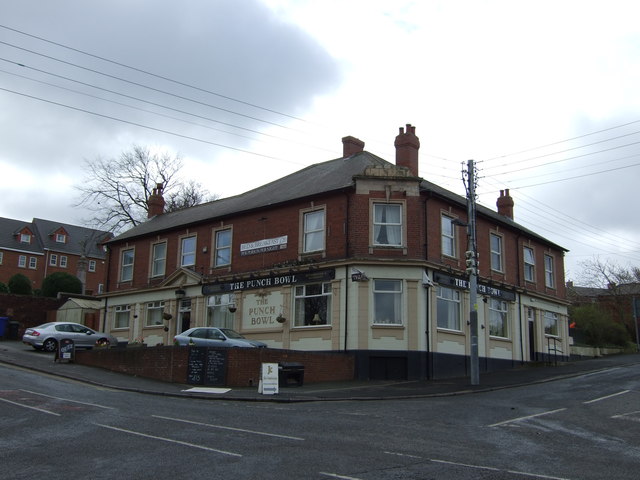
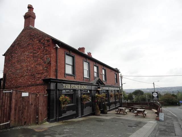
Also in Craghead there are many public houses including the Punch Bowl. Craghead is also well known for its wind farm which sees two wind turbines on a hill known as the Craghead Windmills.

from http://www.bbc.co.uk/insideou…
CRAGHEAD REVISITED
- Monday September 15, 2003 "Angela Bruce, well-known actress of stage and screen revisits her former home town of Craghead in County Durham. Join her as she looks back at how …
Added by
Simon Cotterill

from http://www.durhamintime.org.u…
Craghead – a short history
- Article by Jane Hatcher. "Craghead does not have a long history, being a village which grew up when collieries opened in the area. Early maps show the place‐name as Crag …
Added by
Simon Cotterill

from Youtube (youtube)
Craghead Colliery band at the 132nd Durham Miners' Gala
Pinned by Simon Cotterill
from http://www.cragheadband.co.uk/
Craghead Colliery Band
- A British-style brass band based in Craghead near Stanley in County Durham. "....The band began as The Sacriston Band or Sacriston Town Band. Records show that it was active in …
Added by
Simon Cotterill
Co-Curate Page
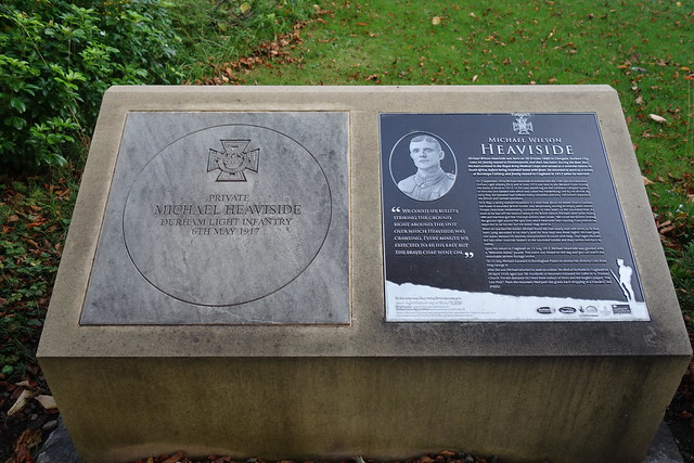
Michael Heaviside, VC (1880 - 1939)
- Overview Map (Monument) Street View Michael Wilson Heaviside VC (1880-1939), served with the Royal Army Medical Corps as a stretcher-bearer in the Boer War, and later became a war hero …

Co-Curate Page
Bloemfontein Primary School
- Overview Map Street View Bloemfontein Primary School is located on Middles Road in The Middles, in Stanley, County Durham. It has about 150 pupils aged 2 to 11. The school …

from https://keystothepast.info/se…
Craghead
- Craghead grew due to the need for coal. It was originally a hamlet of a few houses and John's Castle Inn, and was part of Holmside parish in 1869, becoming …
Added by
Simon Cotterill


from http://www.bbc.co.uk/insideou…
CRAGHEAD REVISITED
- Monday September 15, 2003 "Angela Bruce, well-known actress of stage and screen revisits her former home town of Craghead in County Durham. Join her as she looks back at how …
Added by
Simon Cotterill

from http://www.durhamintime.org.u…
Craghead – a short history
- Article by Jane Hatcher. "Craghead does not have a long history, being a village which grew up when collieries opened in the area. Early maps show the place‐name as Crag …
Added by
Simon Cotterill

from Youtube (youtube)
Craghead Colliery band at the 132nd Durham Miners' Gala
Pinned by Simon Cotterill

from http://www.cragheadband.co.uk/
Craghead Colliery Band
- A British-style brass band based in Craghead near Stanley in County Durham. "....The band began as The Sacriston Band or Sacriston Town Band. Records show that it was active in …
Added by
Simon Cotterill

Co-Curate Page
Michael Heaviside, VC (1880 - 1939)
- Overview Map (Monument) Street View Michael Wilson Heaviside VC (1880-1939), served with the Royal Army Medical Corps as a stretcher-bearer in the Boer War, and later became a war hero …

Co-Curate Page
Bloemfontein Primary School
- Overview Map Street View Bloemfontein Primary School is located on Middles Road in The Middles, in Stanley, County Durham. It has about 150 pupils aged 2 to 11. The school …

from https://keystothepast.info/se…
Craghead
- Craghead grew due to the need for coal. It was originally a hamlet of a few houses and John's Castle Inn, and was part of Holmside parish in 1869, becoming …
Added by
Simon Cotterill
