Craghead – a short history


-
Description
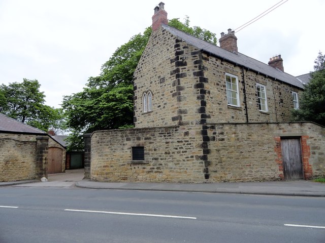
Article by Jane Hatcher. "Craghead does not have a long history, being a village which grew up when collieries opened in the area. Early maps show the place‐name as Crag Head, a simple descriptive name. The 1st edition of the 6 inch Ordnance Survey map of 1854 marks the hamlet of Crag Head at the junction of a lane, marked variously as Craghead Lane and Wagtail Lane, with a lane running south‐east towards Wheatleygreen Lane and Holmside Lane. The Punch Bowl public house is marked at the road junction. The hamlet merely consists of many scattered houses and coal workings, with the Burnhope Waggon Way running approximately parallel to Craghead /Wagtail Lane. Further west of Wagtail Lane is the National School...." -
Owner
Durham in Time -
Source
Local (Co-Curate) -
License
What does this mean? Unknown license check permission to reuse
-
Further information
Link: http://www.durhamintime.org.uk/durham_miner/craghead_history.pdf
Resource type: Text/Website
Added by: Simon Cotterill
Last modified: 8 years, 9 months ago
Viewed: 1667 times
Picture Taken: Unknown -
Co-Curate tags


