Topics > Newcastle City Centre > Streets > City Road
City Road
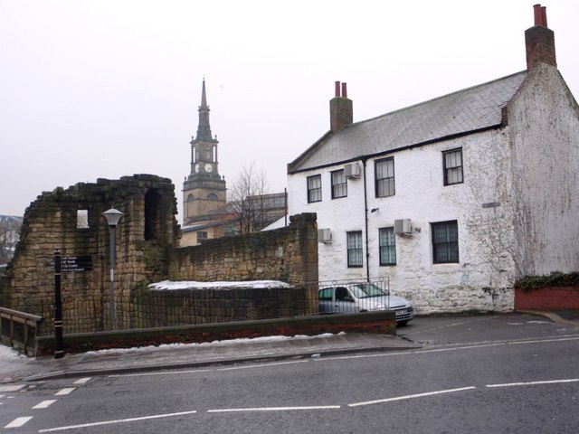
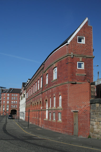
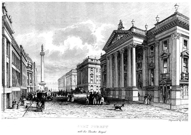
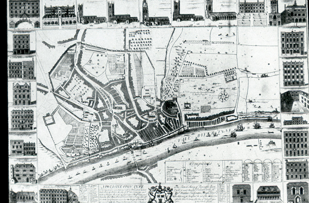
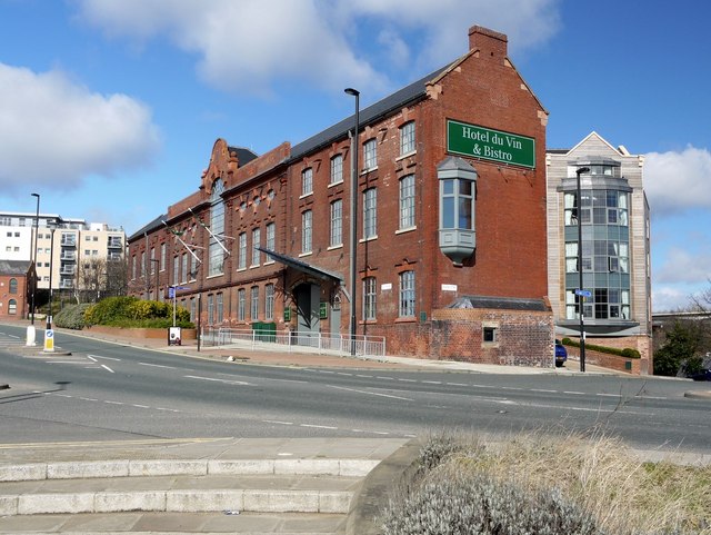
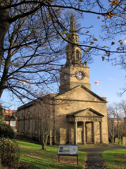
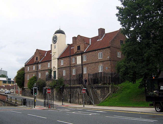
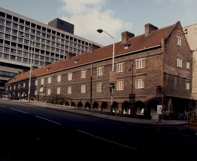
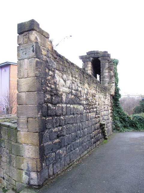
City Road is a major road in Newcastle, which forms part of the A186 route, heading east out of the city centre. It starts a short distance from the Swan House roundabout, branching off Pilgrim Street/Melbourne Street, running roughly eastwards for 1km on to Walker Road, which continues the A186 route. The remains of Corner Tower from the old Town Walls are located at the western end of City Road. The road here also runs close to the Keelmen's Hospital (almshouse) of 1701. St Anne's Church of 1768 is located by City Road as the road runs through Battlefield, before it enters Byker. There are also many modern buildings along the road.
Co-Curate Page
Holy Jesus Hospital
- Overview About Historical Accounts Map Street View "Hospital erected at the expense of the Citizens and Burgesses of Newcastle upon Tyne in the year of Salvation 1682. Timothy Robson, Mayor. …
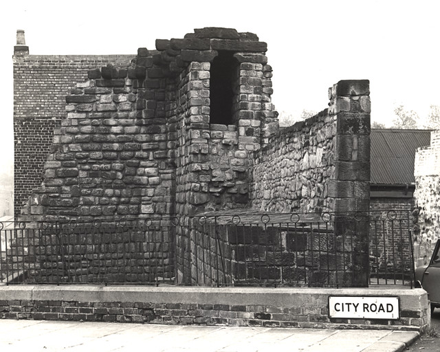
from Newcastle libraries (flickr)
014766:Corner Tower City Road Newcastle upon Tyne 1965
Pinned by Simon Cotterill
Co-Curate Page
Corner Tower
- "Corner Tower is probably so called from being in an angle of the wall. It is mentioned in the common council books, June 9, 1688, by the name of "Corn-Hill …

from http://www.twsitelines.info/S…
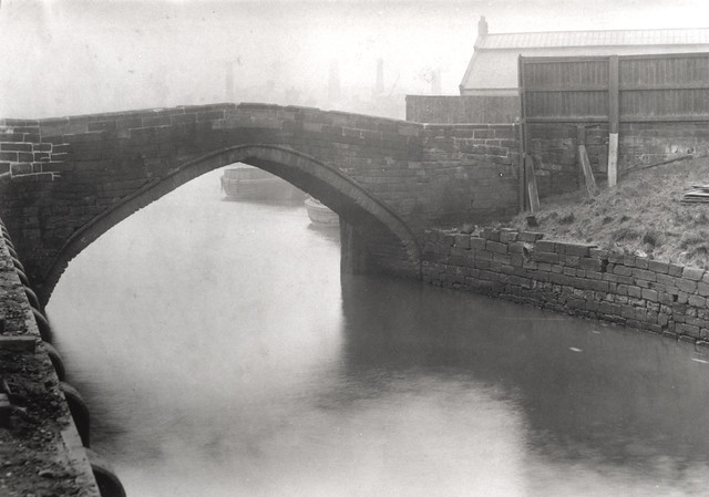
Tyne and Wear HER(1559): Newcastle town wall, Pandon Burn culvert
- "In the stretch of curtain between Corner Tower and Pandon Gate there "was a segmentally arched opening through the wall, allowing a passage for the Pandon stream, the opening of …
Added by
Pat Thomson
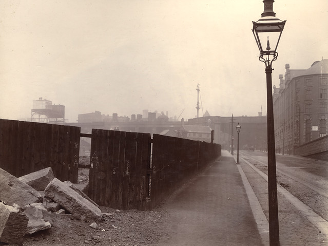
from Newcastle libraries (flickr)
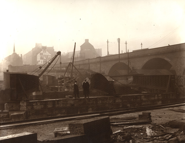
050778:City Road Newcastle upon Tyne Unknown 1908
Pinned by Simon Cotterill
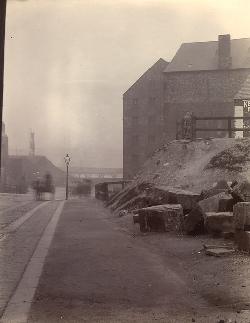
from Newcastle libraries (flickr)
050777:City Road Newcastle upon Tyne Unknown 1908
Pinned by Simon Cotterill

from Newcastle libraries (flickr)
050386:City Road Newcastle upon Tyne Unknown c.1900
Pinned by Simon Cotterill
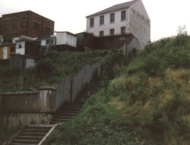
from Newcastle libraries (flickr)
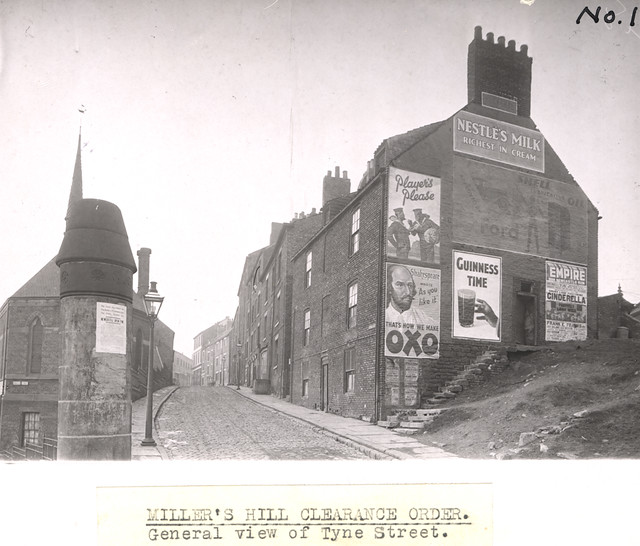
048475:The Golden Lion City Road/Tyne Street Unknown 1985
Pinned by Simon Cotterill
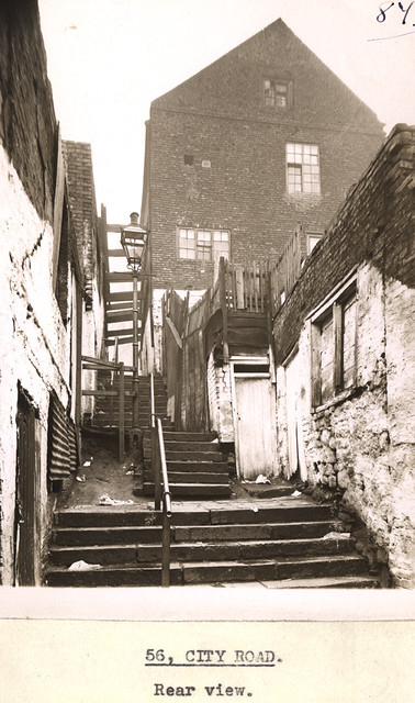
from Newcastle libraries (flickr)
036122:City Road Newcastle upon Tyne Dept of Environmental Health c.1935
Pinned by Simon Cotterill
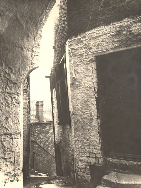
from Newcastle libraries (flickr)
003049:City Road Newcastle upon Tyne Unknown 1920
Pinned by Simon Cotterill
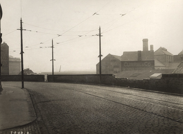
from Newcastle libraries (flickr)
042495:City Road Newcastle upon Tyne Unknown 1929
Pinned by Simon Cotterill
Co-Curate Page
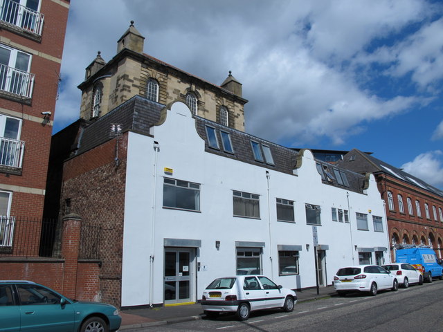
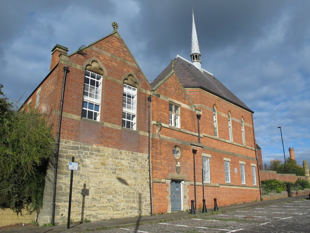
Sailors Bethel, Horatio Street
- Overview Map Street View This former seamen's non-conformist chapel was built in 1875 by Thomas Oliver. It is located on Horatio Street, by the junction with City Road in Newcastle. …
Co-Curate Page
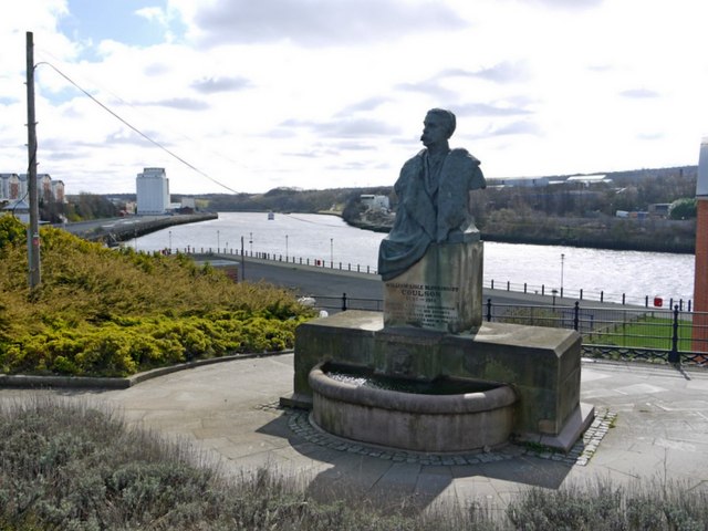
Horatio Street
- Overview Map Street View Horatio Street in Newcastle runs from City Road / Walker Road, down to the Quayside. At the east end of Horatio Street are a memorial to …

Co-Curate Page
Battlefield
- Overview Map Battlefield is an area of Newcastle, immediately east and to the north of the Quayside and bounded on the east by Ouse Burn. St Ann's Church, built in …
Co-Curate Page
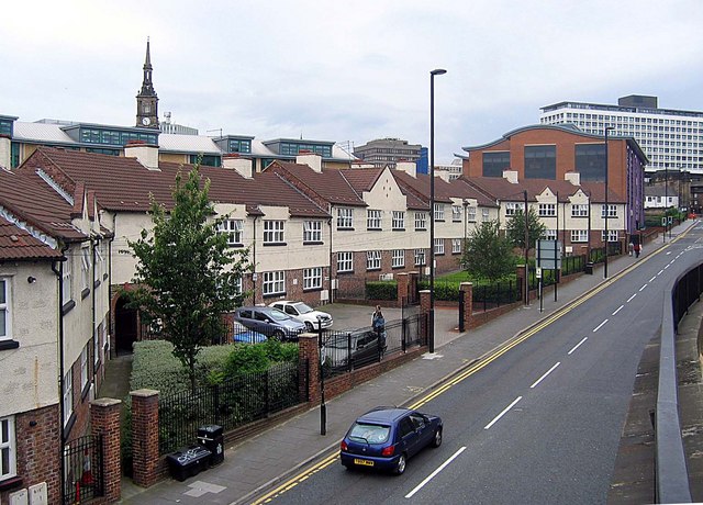
Sallyport Crescent
- Overview Map Street View Sallyport Crescent is a terrace of houses off City Road in Newcastle. It is close to, and overlooked by Sallyport Tower. The crescent is the earliest …


Co-Curate Page
Holy Jesus Hospital
- Overview About Historical Accounts Map Street View "Hospital erected at the expense of the Citizens and Burgesses of Newcastle upon Tyne in the year of Salvation 1682. Timothy Robson, Mayor. …

from Newcastle libraries (flickr)
014766:Corner Tower City Road Newcastle upon Tyne 1965
Pinned by Simon Cotterill

Co-Curate Page
Corner Tower
- "Corner Tower is probably so called from being in an angle of the wall. It is mentioned in the common council books, June 9, 1688, by the name of "Corn-Hill …

from http://www.twsitelines.info/S…
Tyne and Wear HER(1559): Newcastle town wall, Pandon Burn culvert
- "In the stretch of curtain between Corner Tower and Pandon Gate there "was a segmentally arched opening through the wall, allowing a passage for the Pandon stream, the opening of …
Added by
Pat Thomson

from Newcastle libraries (flickr)
050778:City Road Newcastle upon Tyne Unknown 1908
Pinned by Simon Cotterill

from Newcastle libraries (flickr)
050777:City Road Newcastle upon Tyne Unknown 1908
Pinned by Simon Cotterill

from Newcastle libraries (flickr)
050386:City Road Newcastle upon Tyne Unknown c.1900
Pinned by Simon Cotterill

from Newcastle libraries (flickr)
048475:The Golden Lion City Road/Tyne Street Unknown 1985
Pinned by Simon Cotterill

from Newcastle libraries (flickr)
036122:City Road Newcastle upon Tyne Dept of Environmental Health c.1935
Pinned by Simon Cotterill

from Newcastle libraries (flickr)
003049:City Road Newcastle upon Tyne Unknown 1920
Pinned by Simon Cotterill

from Newcastle libraries (flickr)
042495:City Road Newcastle upon Tyne Unknown 1929
Pinned by Simon Cotterill

Co-Curate Page
Sailors Bethel, Horatio Street
- Overview Map Street View This former seamen's non-conformist chapel was built in 1875 by Thomas Oliver. It is located on Horatio Street, by the junction with City Road in Newcastle. …

Co-Curate Page
Horatio Street
- Overview Map Street View Horatio Street in Newcastle runs from City Road / Walker Road, down to the Quayside. At the east end of Horatio Street are a memorial to …

Co-Curate Page
Battlefield
- Overview Map Battlefield is an area of Newcastle, immediately east and to the north of the Quayside and bounded on the east by Ouse Burn. St Ann's Church, built in …

