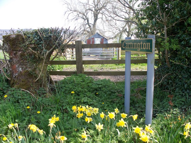
Topics > Northumberland > Cartington
Cartington
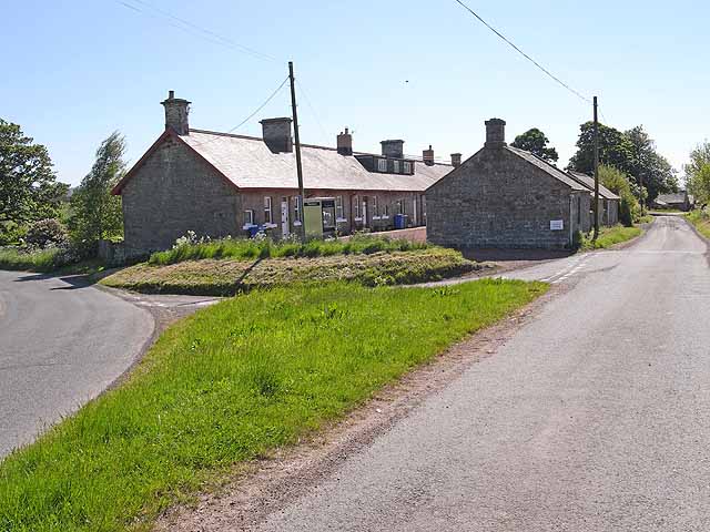
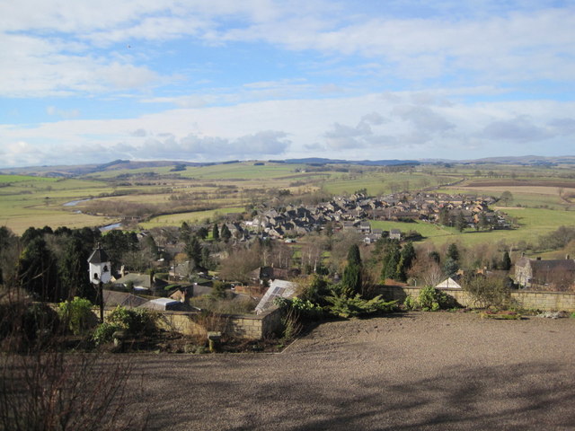
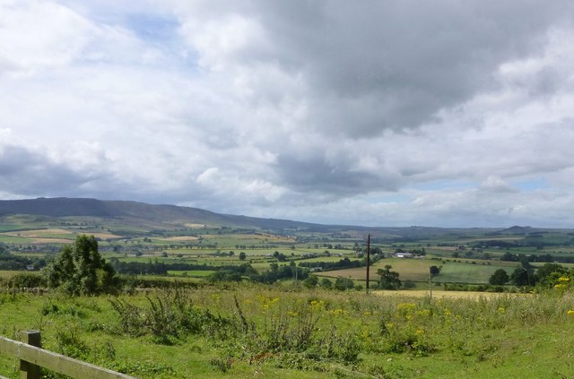
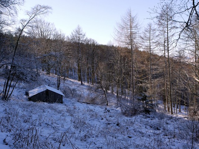
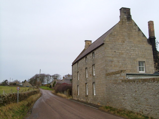
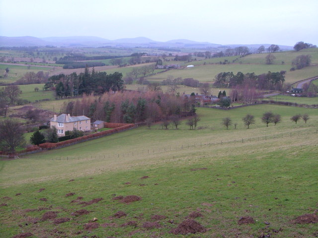
Cartington is a village and civil parish in Northumberland, England. It is about 11 miles (18 km) south west of Alnwick, and about 2 miles (3 km) north west of Rothbury, and has a population of 97. At the 2011 Census the population remained less than 100. Details were included in Callaly parish.
In 2010 the parish became involved in the hunt for Raoul Moat, a 37-year-old man from Newcastle upon Tyne, who was believed to have shot three people, killing one. Police discovered a makeshift camp, including a duvet, tent and sleeping bag, in a secluded area of land at Wagtail Farm, in the south of the parish.
Landmarks
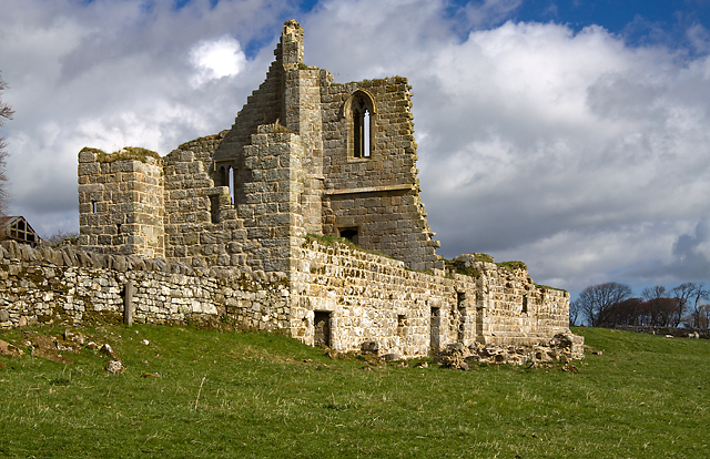
Cartington Castle is a ruinous, partly restored medieval English castle. It is a Scheduled Ancient Monument and a Grade I listed building. Its first recorded owner was Ralph Fitzmain who held it in 1154. In the late 14th century a pele tower was built. In November 1515 Margaret, Queen of Scots, with her baby daughter Margaret stayed here on her journey from Harbottle Castle. Nearly ten years later, Lord Dacre stationed his troops here on a march north to join the Earl of Surrey. The castle continued to be occupied until finally abandoned in the 1860s. In 1887 Lord Armstrong partially restored the castle in order to prevent its complete disintegration.
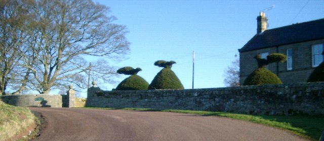
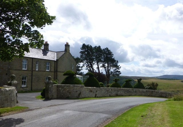
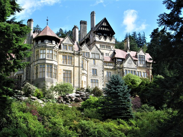
In the south of the parish is Cragside, a country house maintained by the National Trust, that was the first house in the world to be lit by hydro-electric power.
Visit the page: Cartington for references and further details. You can contribute to this article on Wikipedia.

from https://keystothepast.info/se…
Local History: Cartington
- "The parish of Cartington lies in central Northumberland and is almost entirely made up of high moorland. It stretches from the heights of Mount Pleasant in the east, across Cartington …
Added by
Simon Cotterill
from https://keystothepast.info/se…
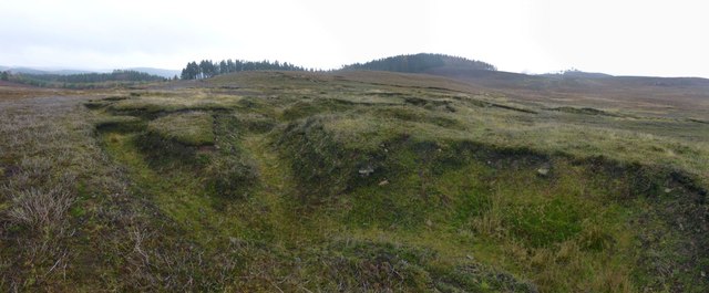
Cartington deserted medieval village (Cartington)
- "Cartington medieval village is first mentioned in old documents in the 13th century when a small share of land was held by John le Viscount. Following this, there are records …
Added by
Simon Cotterill
Co-Curate Page
Cragside
- Overview About Cragside Map Street View Cragside was the country house and estate of industrialist Lord William Armstrong and Lady Margaret Armstrong. It was the first house in the world …
Co-Curate Page
Snitter
- SNITTER, a township, in the parish and union of Rothbury, W. division of Coquetdale ward, N. division of Northumberland, 2¾ miles (N.W. by W.) from Rothbury; containing 163 inhabitants. It …

Co-Curate Page
Rothbury Parish, 1855
- Extract from: History, Topography, and Directory of Northumberland...Whellan, William, & Co, 1855. ROTHBURY PARISH ROTHBURY parish is bounded on the north by Whittingham, on the west by Elsdon, on …

from https://keystothepast.info/se…
Local History: Cartington
- "The parish of Cartington lies in central Northumberland and is almost entirely made up of high moorland. It stretches from the heights of Mount Pleasant in the east, across Cartington …
Added by
Simon Cotterill
from https://keystothepast.info/se…
Cartington deserted medieval village (Cartington)
- "Cartington medieval village is first mentioned in old documents in the 13th century when a small share of land was held by John le Viscount. Following this, there are records …
Added by
Simon Cotterill
Co-Curate Page
Cragside
- Overview About Cragside Map Street View Cragside was the country house and estate of industrialist Lord William Armstrong and Lady Margaret Armstrong. It was the first house in the world …
Co-Curate Page
Snitter
- SNITTER, a township, in the parish and union of Rothbury, W. division of Coquetdale ward, N. division of Northumberland, 2¾ miles (N.W. by W.) from Rothbury; containing 163 inhabitants. It …