Local History: Cartington


-
Description
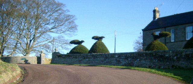
"The parish of Cartington lies in central Northumberland and is almost entirely made up of high moorland. It stretches from the heights of Mount Pleasant in the east, across Cartington Hill, to the Black Burn in the west. Several streams flow though the parish to join the River Coquet, one of the deepest valleys being created by the Debdon Burn which provided hydroelectric power to Lord Armstrong's Cragside. The name Cartington is Scandinavian in origin and derives from `Kiartan's hill' or `homestead of Kiartan's people.' ..." -
Owner
Keys to the Past (Durham & Northumbria County Councils) -
Source
Local (Co-Curate) -
License
What does this mean? Unknown license check permission to reuse
-
Further information
Link: https://keystothepast.info/search-records/results-of-search/results-of-search-2/site-details/?PRN=N13006
Resource type: Text/Website
Added by: Simon Cotterill
Last modified: 8 years, 11 months ago
Viewed: 989 times
Picture Taken: Unknown -
Co-Curate tags


