Topics > Civil Parishes in Cumbria > Beetham Civil Parish
Beetham Civil Parish
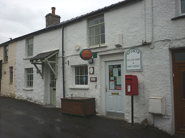
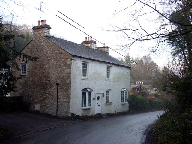
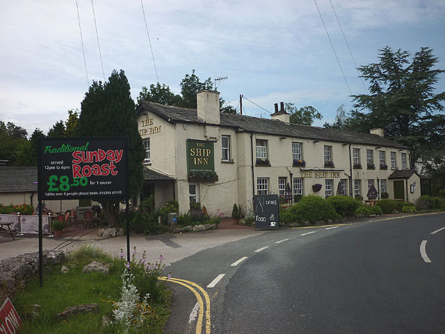
The Civil Parish of Beetham is located to the south of Milnthorpe, by the estury of the River Kent in the South Lakeland district of Cumbria. Settlements in the parish include Beetham, Carr Bank, Farleton, Hale, Hazelslack, Sandside, Slackhead, Storth and Whasset. The population of the civil parish was 1,759 at the time of the 2021 Census. Historically, the ancient Parish of Beetham, which covered a wider geographical area than todays civil parish, was part of the old county of Westmorland.
Area: 22.1 km²
Population:
1,759 (2021 Census)
1,784 (2011 Census)
1,724 (2001 Census)

Co-Curate Page
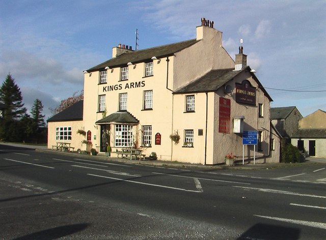
Beetham
- Overview About Beetham Map Street View Beetham is a village and civil parish in Cumbria, England, situated on the border with Lancashire. It is part of the Arnside and …
Co-Curate Page
Hale
- Overview About Hale Map Street View Hale is a hamlet in the South Lakeland district of Cumbria, located on the A6 road, about half a mile south-east of Beetham. Hale …
Co-Curate Page
Farleton
- Overview About Farleton Map Street View Farleton is a village in the South Lakeland district of Cumbria, located about 7 miles south of Kendal and 2½ miles east of Milnthorpe. …
Co-Curate Page
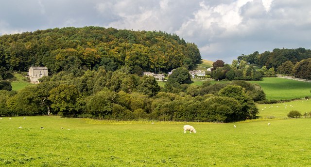
Haverbrack
- Overview Map Street View Haverbrack is a hamlet in the South Lakeland district of Cumbria, located about a mile south-west of Milnthorpe and a mile east of Storth. Historically, Haverbrack …
Co-Curate Page
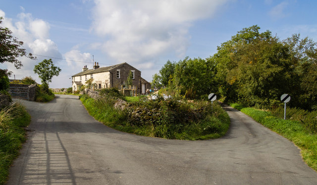
Slack Head, Beetham
- Overview Map Street View Slack Head (aka Slackhead) is a hamlet in the South Lakeland district of Cumbria, located about ½ mile south-west of the village of Beethham. It forms …

Co-Curate Page
Beetham
- Overview About Beetham Map Street View Beetham is a village and civil parish in Cumbria, England, situated on the border with Lancashire. It is part of the Arnside and …
Co-Curate Page
Hale
- Overview About Hale Map Street View Hale is a hamlet in the South Lakeland district of Cumbria, located on the A6 road, about half a mile south-east of Beetham. Hale …
Co-Curate Page
Farleton
- Overview About Farleton Map Street View Farleton is a village in the South Lakeland district of Cumbria, located about 7 miles south of Kendal and 2½ miles east of Milnthorpe. …
Co-Curate Page
Haverbrack
- Overview Map Street View Haverbrack is a hamlet in the South Lakeland district of Cumbria, located about a mile south-west of Milnthorpe and a mile east of Storth. Historically, Haverbrack …


")


