Topics > Northumberland > Civil Parishes in Northumberland > Bamburgh Civil Parish
Bamburgh Civil Parish
Parish boundaries may have changed - for the latest map see the Parish Council or Northumberland County Council.
Area: 14.6 km2
Population:
2021 Census - 323
2011 Census - 414
2001 Census - 454

Co-Curate Page
Bamburgh
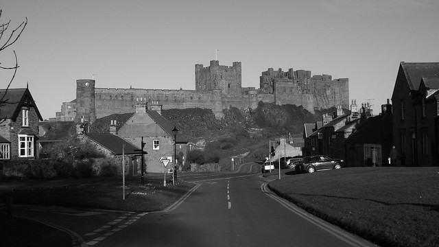
- Overview About Bamburgh Map Street View Bamburgh is a large village and civil parish on the coast of Northumberland, England. It had a population of 454, decreasing to 414 …
Co-Curate Page
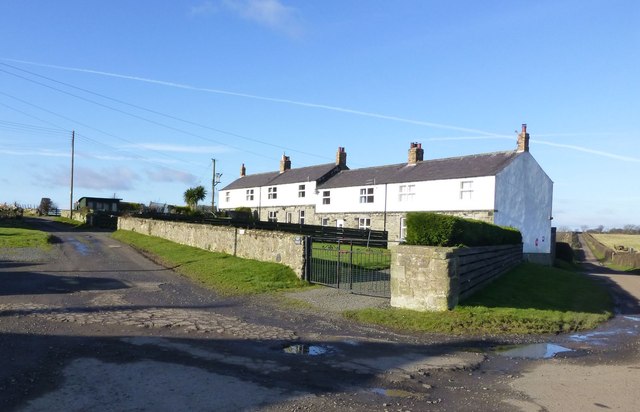
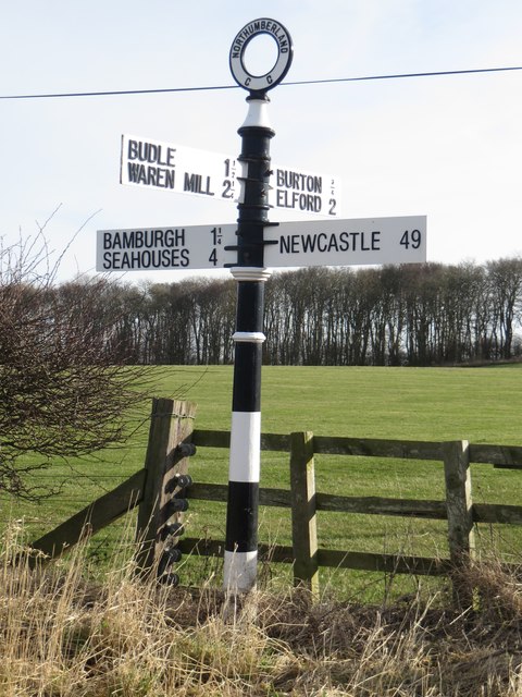
Budle
- Overview Map Street View Budle is a hamlet in Northumberland, located on the south side of Budle Bay and about 1 mile west of Bamburgh. There was a medieval village …
Co-Curate Page
Burton
- Overview Map Street View The hamlets /farms of East Burton and West Burton are located about 1 mile south of Bamburgh and half a mile east of Glororum. There is …
Co-Curate Page
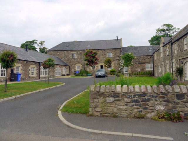
Glororum, Bamburgh
- Overview About Glororum Map Street View GLORORUM, a township, in the parish of Bambrough, union of Belford, N. division of Bambrough ward and of Northumberland, 4¾ miles (E.) from Belford; …

Co-Curate Page
Bamburgh
- Overview About Bamburgh Map Street View Bamburgh is a large village and civil parish on the coast of Northumberland, England. It had a population of 454, decreasing to 414 …
Co-Curate Page
Budle
- Overview Map Street View Budle is a hamlet in Northumberland, located on the south side of Budle Bay and about 1 mile west of Bamburgh. There was a medieval village …
Co-Curate Page
Burton
- Overview Map Street View The hamlets /farms of East Burton and West Burton are located about 1 mile south of Bamburgh and half a mile east of Glororum. There is …


