Topics > Historical Periods > 19th Century > 1860s > 1860
1860
In Northern England:
- 1860: Demolition of the first public baths in Newcastle (Bath Lane) after the water supply from Skinner Burn was disrupted.
- c1860: Building of the Zetland Hotel in Middlesbrough (now Grade II Listed).
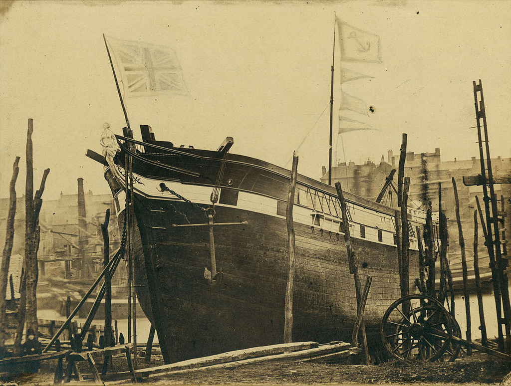
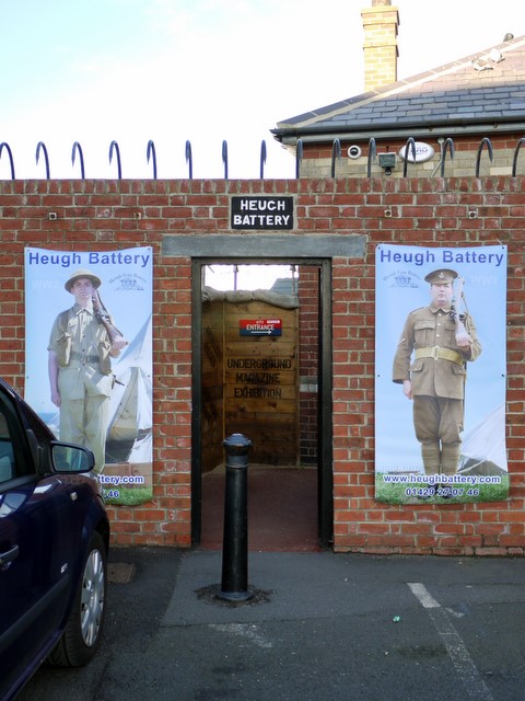
- 1860: Building of the Heugh Battery to protect the port of Hartlepool.
- 2nd March 1860: an explosion at Burradon Colliery killied 76 men and boys.
from Newcastle libraries (flickr)
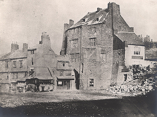
004228:Black Gate Newcastle upon Tyne Unknown 1860
Pinned by Simon Cotterill
from Newcastle libraries (flickr)
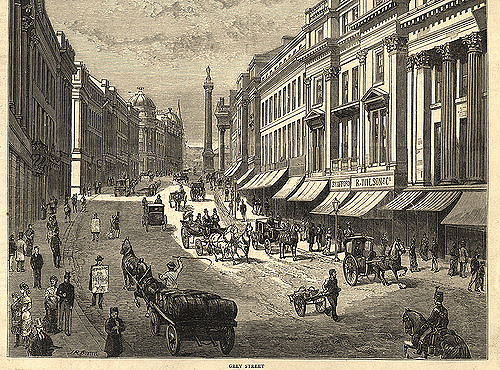
008670:Westgate Road Newcastle upon Tyne 1860
Pinned by Simon Cotterill
from Newcastle libraries (flickr)
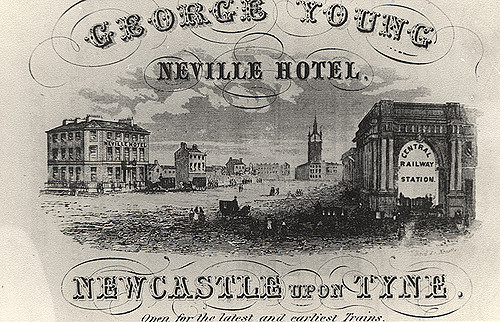
041010:Neville Hotel Neville Street Unknown c.1860
Pinned by Simon Cotterill
from Newcastle libraries (flickr)
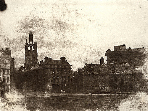
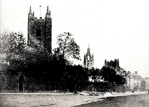
008775:Saint John's and Saint Nicholas's Churches Newcastle upon Tyne 1860
Pinned by Simon Cotterill
from Newcastle libraries (flickr)
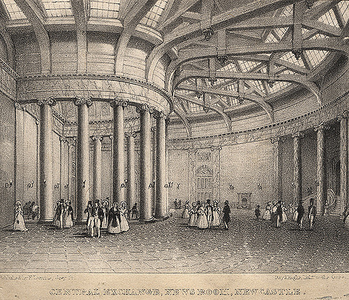
017196:Central Exchange News Room Newcastle upon Tyne Unknown c.1860
Pinned by Simon Cotterill
Co-Curate Page
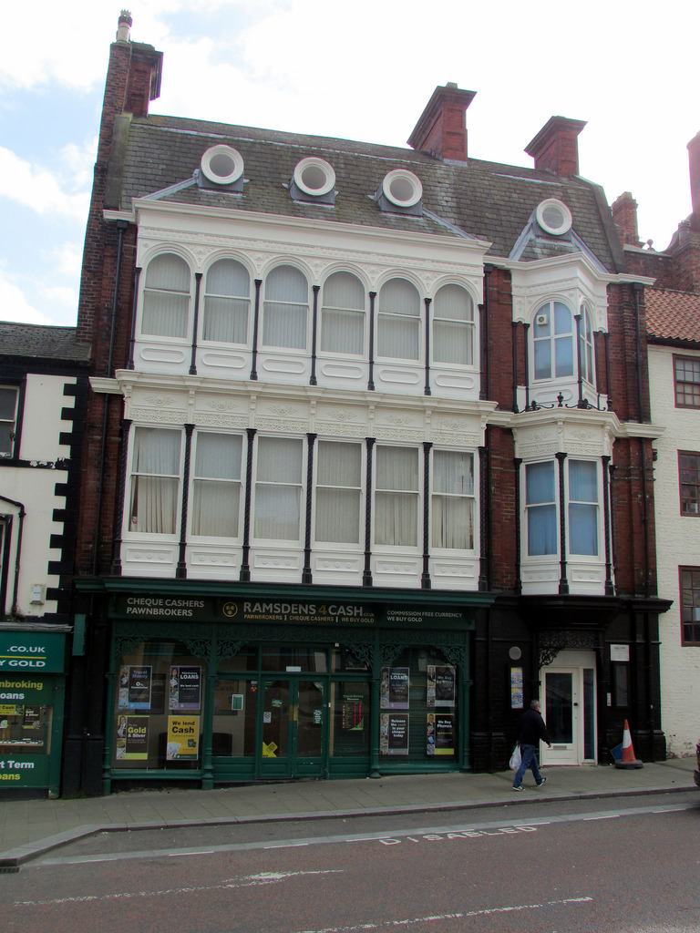
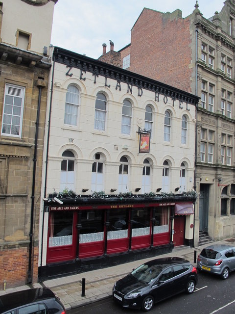
Zetland Hotel
- The Zetland Hotel is a Grade II Listed Building which was built c.1860 and located on Zetland Road, close to Middlesbrough Station. Threatened with closure as a pub in 2015. …
Co-Curate Page
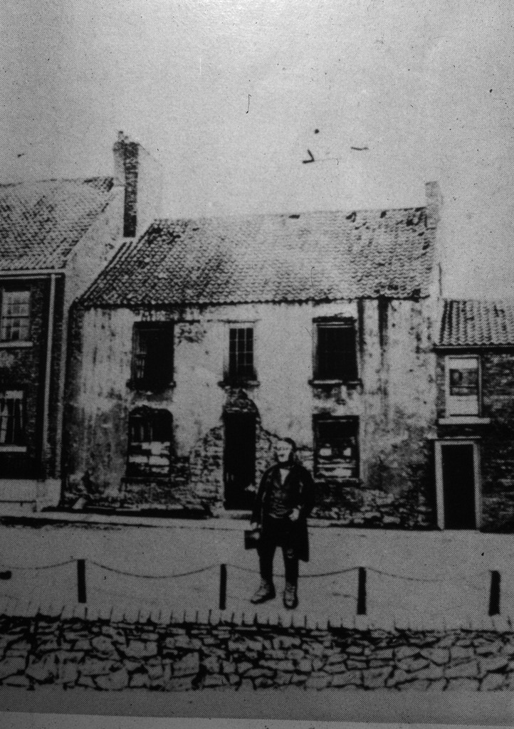
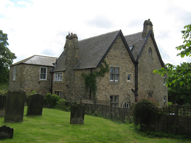
Old Vicarage, High Coniscliffe
- Overview Map The former Vicarage of St Edwin's Church in High Coniscliffe dates from the 18th century, with the main building built c.1860. It is now private house and is …
Co-Curate Page
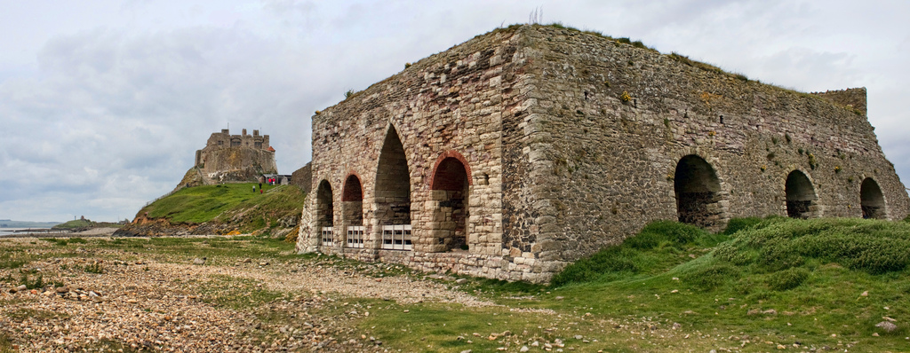
Heugh Battery
- Overview About Heugh Battery Map Street View The Heugh Gun Battery was built on the Headland in 1860 to protect the fast growing port of Hartlepool. The Battery guns were …
Co-Curate Page
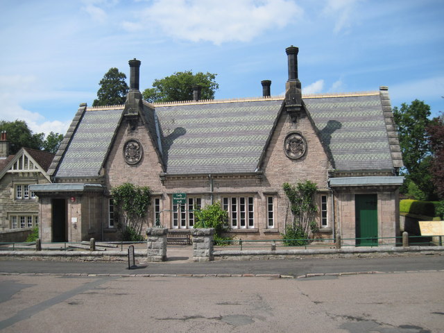
Lady Waterford Hall
- Overview About the Hall Map Street View Lady Waterford Hall is located in Ford in Northumberland. The building was commissioned in 1860 by Louisa Anne, the Marchioness of Waterford, and …
Co-Curate Page
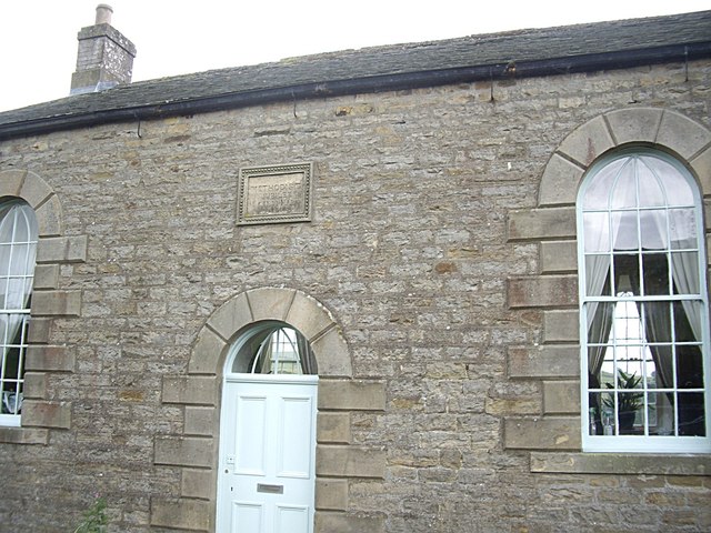
Methodist Chapel, Sinderhope
- Overview Map Street View Now converted for a private residence, the Primitive Methodist Jubilee Chapel in Sinderhope was built in 1860. It is Grade II listed on the National Heritage …
Co-Curate Page
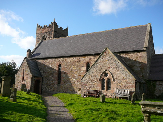
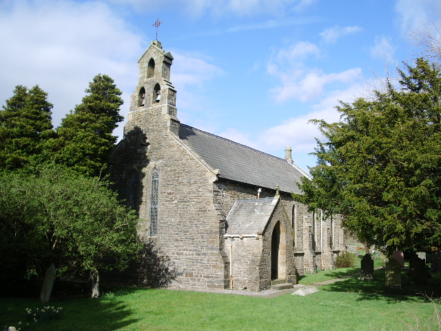
Church of St Gregory the Great, Kirknewton
- Overview Map Street View St Gregory's is the parish church of Kirknewton in Northumberland. There has been a church on this site since at least the 11th century. The church …
Co-Curate Page
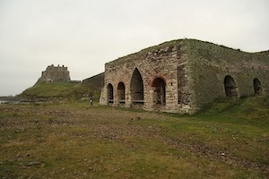
Lime Kilns
- Overview Map Street View The lime kilns at Castle Point on Lindisfarne are amongst the largest and best preserved lime kilns in Northumberland. They have a complex layout compared to …
Co-Curate Page
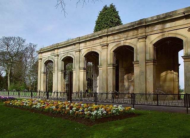
Loggia of Marton Hall, Stewart Park
- Overview Map Street View The Loggia (a long sheltered gallery or or corridor, which forms part of a house, typically with a side open to the garden) in Stewart Park …
Co-Curate Page
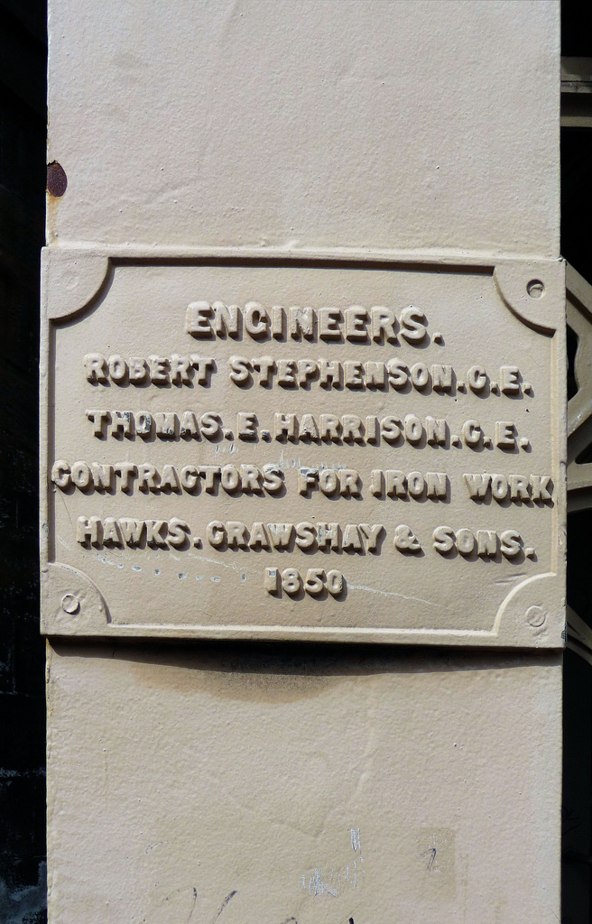
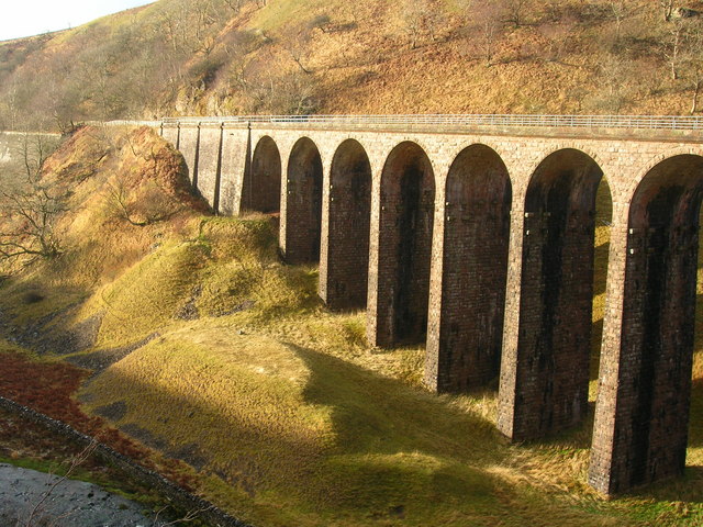
Smardale Gill Viaduct
- Overview Map Street View Smardale Gill Viaduct is just over a mile south-west of the village of Smardale in Cumbria. The viaduct was built for the South Durham and Lancashire Union …

Co-Curate Page
Newsham Colliery
- Hannah Pit of Newsham Colliery was sunk in 1860 to the Low Main seam, recorded as a depth of 99 fathoms (181m).[1]
Co-Curate Page
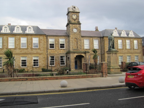
Marquis Point
- Former police station and originally Londonderry Offices. c.1860. This is Grade II listed on the National Heritage List for England.
Co-Curate Page
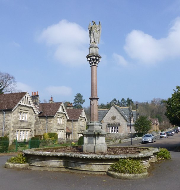
Waterford Fountain, Ford
- Overview Map Street View "This fountain is placed by Louisa Marchioness of Waterford in grateful and affectionate remembrance of her husband Henry 3rd Marquis of Waterford K.P. Born April 25th …
Co-Curate Page
Church of St John The Divine
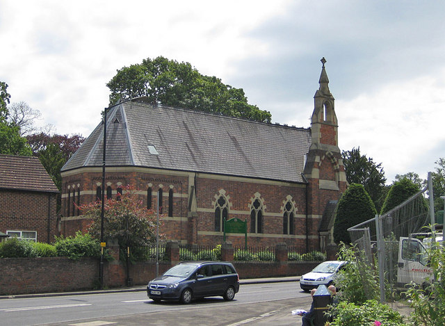
- Overview Map Street View The Parish Church of St John the Divine in Acklington was built in 1860. It was designed by James Deason, for the Duke of Northumberland. The …
Co-Curate Page
Church of St John the Baptist, Garsdale
- Overview Map Street View St John the Baptist's Church in Garsdale was built in 1860, replacing an earlier church on this site. The church is Grade II listed on the …
Co-Curate Page
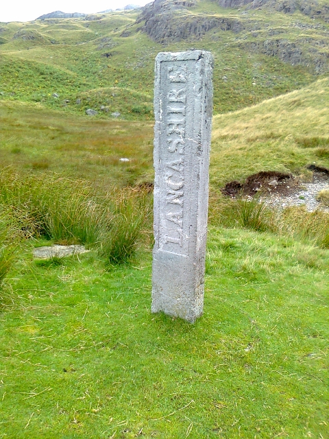
Three Shires Stone, Wrynose Pass
- Overview Map Street View The Three Shires Stone, at the top of Wrynose Pass near Little Langdale, marks the historic boundary of the old counties of Lancashire, Cumberland and Westmorland. …
Co-Curate Page
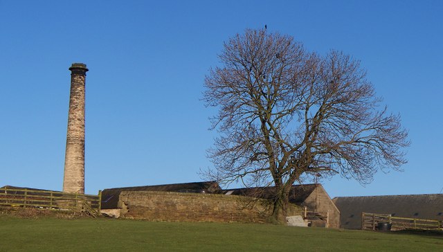
Chimney on North Shotton Farm
- Overview Map Street View This old engine house chimney is located by North Shotton farmhouse, in Shotton, Northumberland. The chimney is dated 1860 with initials MWR (Matthew White Ridley). The …
Co-Curate Page
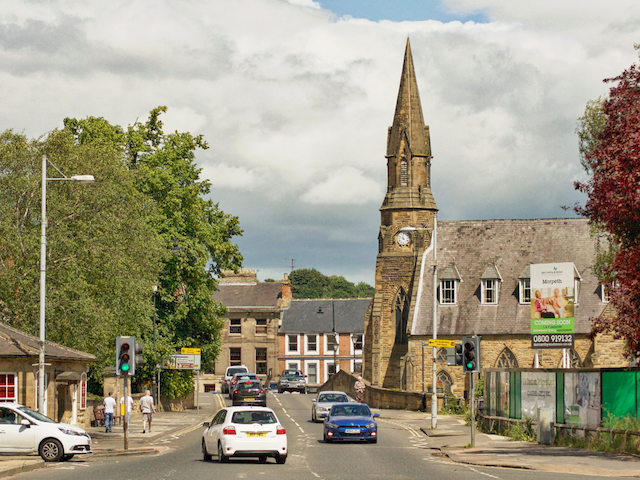
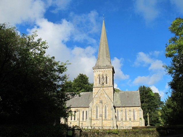
St. George's URC Church
- Overview Map Street View St. George's United Reformed Church is located on Bridge Street in Morpeth. The church is situated next to Telford Bridge and is a prominent feature of …

from Newcastle libraries (flickr)
004228:Black Gate Newcastle upon Tyne Unknown 1860
Pinned by Simon Cotterill
from Newcastle libraries (flickr)
008670:Westgate Road Newcastle upon Tyne 1860
Pinned by Simon Cotterill
from Newcastle libraries (flickr)
041010:Neville Hotel Neville Street Unknown c.1860
Pinned by Simon Cotterill
from Newcastle libraries (flickr)
008775:Saint John's and Saint Nicholas's Churches Newcastle upon Tyne 1860
Pinned by Simon Cotterill
from Newcastle libraries (flickr)
017196:Central Exchange News Room Newcastle upon Tyne Unknown c.1860
Pinned by Simon Cotterill
Co-Curate Page
Zetland Hotel
- The Zetland Hotel is a Grade II Listed Building which was built c.1860 and located on Zetland Road, close to Middlesbrough Station. Threatened with closure as a pub in 2015. …
Co-Curate Page
Old Vicarage, High Coniscliffe
- Overview Map The former Vicarage of St Edwin's Church in High Coniscliffe dates from the 18th century, with the main building built c.1860. It is now private house and is …
Co-Curate Page
Heugh Battery
- Overview About Heugh Battery Map Street View The Heugh Gun Battery was built on the Headland in 1860 to protect the fast growing port of Hartlepool. The Battery guns were …
Co-Curate Page
Lady Waterford Hall
- Overview About the Hall Map Street View Lady Waterford Hall is located in Ford in Northumberland. The building was commissioned in 1860 by Louisa Anne, the Marchioness of Waterford, and …
Co-Curate Page
Methodist Chapel, Sinderhope
- Overview Map Street View Now converted for a private residence, the Primitive Methodist Jubilee Chapel in Sinderhope was built in 1860. It is Grade II listed on the National Heritage …
Co-Curate Page
Church of St Gregory the Great, Kirknewton
- Overview Map Street View St Gregory's is the parish church of Kirknewton in Northumberland. There has been a church on this site since at least the 11th century. The church …
Co-Curate Page
Lime Kilns
- Overview Map Street View The lime kilns at Castle Point on Lindisfarne are amongst the largest and best preserved lime kilns in Northumberland. They have a complex layout compared to …
Co-Curate Page
Loggia of Marton Hall, Stewart Park
- Overview Map Street View The Loggia (a long sheltered gallery or or corridor, which forms part of a house, typically with a side open to the garden) in Stewart Park …
Co-Curate Page
Smardale Gill Viaduct
- Overview Map Street View Smardale Gill Viaduct is just over a mile south-west of the village of Smardale in Cumbria. The viaduct was built for the South Durham and Lancashire Union …
Co-Curate Page
Newsham Colliery
- Hannah Pit of Newsham Colliery was sunk in 1860 to the Low Main seam, recorded as a depth of 99 fathoms (181m).[1]
Co-Curate Page
Marquis Point
- Former police station and originally Londonderry Offices. c.1860. This is Grade II listed on the National Heritage List for England.
Co-Curate Page
Waterford Fountain, Ford
- Overview Map Street View "This fountain is placed by Louisa Marchioness of Waterford in grateful and affectionate remembrance of her husband Henry 3rd Marquis of Waterford K.P. Born April 25th …
Co-Curate Page
Church of St John The Divine
- Overview Map Street View The Parish Church of St John the Divine in Acklington was built in 1860. It was designed by James Deason, for the Duke of Northumberland. The …
Co-Curate Page
Church of St John the Baptist, Garsdale
- Overview Map Street View St John the Baptist's Church in Garsdale was built in 1860, replacing an earlier church on this site. The church is Grade II listed on the …
Co-Curate Page
Three Shires Stone, Wrynose Pass
- Overview Map Street View The Three Shires Stone, at the top of Wrynose Pass near Little Langdale, marks the historic boundary of the old counties of Lancashire, Cumberland and Westmorland. …
Co-Curate Page
Chimney on North Shotton Farm
- Overview Map Street View This old engine house chimney is located by North Shotton farmhouse, in Shotton, Northumberland. The chimney is dated 1860 with initials MWR (Matthew White Ridley). The …
Co-Curate Page
St. George's URC Church
- Overview Map Street View St. George's United Reformed Church is located on Bridge Street in Morpeth. The church is situated next to Telford Bridge and is a prominent feature of …
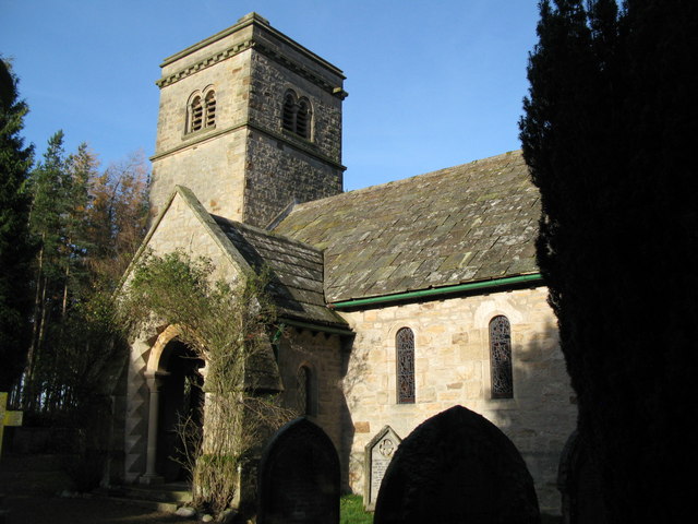
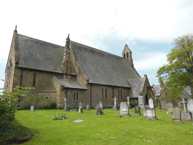
Church of the Holy Trinity, Whitfield
Three Shires Stone, Wrynose Pass
RC Church of St Mary and St Romuald, Yarm
Old Vicarage, High Coniscliffe
Church of St Gregory the Great, Kirknewton
Church of St John The Divine, Acklington
Loggia of Marton Hall, Stewart Park


