Topics > Cumbria > Rivers in Cumbria > River Wampool
River Wampool
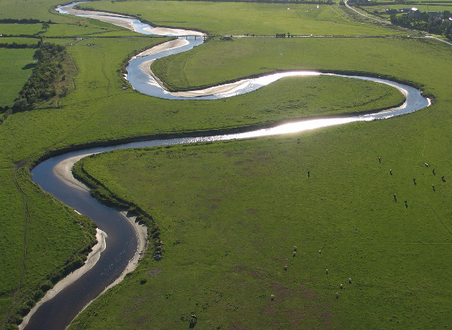
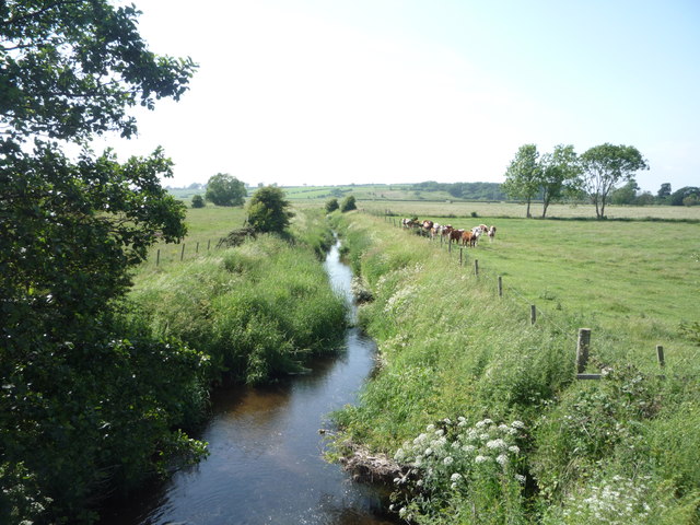
The River Wampool is a river flowing through north western Cumbria in England. It is in the Waver and Wampool (or Wampool and Waver) catchment which includes the towns of Silloth and Wigton.
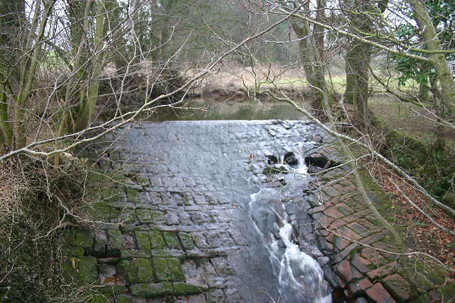
The river is formed at Chalkfoot near East Curthwaite, above which it is known as Chalk Beck. This helps define the western edge of Inglewood Forest.
Chalk Beck rises close to Wavergillhead and runs north, meeting Iron Gill and proceeding through a wooded clough to Chalkfoot.
Later, the infant River Wampool is joined by Gill Beck at West Curthwaite and Whinnow Beck at Micklethwaite.
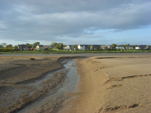
The river continues northwards through Biglands, where it is joined by Bampton Beck and Wampool, towards Angerton, where it bends westwards, meeting Solway Firth at Anthorn.
Visit the page: River Wampool for references and further details. You can contribute to this article on Wikipedia.

Co-Curate Page
Anthorn
- Overview Map Street View ANTHORN, a township, in the parish of Bowness, union of Wigton, Cumberland ward, and E. division of Cumberland, 8 miles (N.W. by N.) from Wigton; containing …
Co-Curate Page
Kirkbride
- Overview About Kirkbride Map Street View Kirkbride is a village and civil parish in Cumbria in the north west of England. The civil parish population at the 2011 census …
Co-Curate Page
Parton, Allerdale
- Overview Map Street View Parton is a hamlet in the Allerdale district of Cumbria, located near the River Wampool and about 2 miles north-east of Wigton and 3 miles north-west of …
Co-Curate Page
Whitrigg, Bowness-on-Solway
- Overview Map Street View Whitrigg is a hamlet in the Allerdale district of Cumbria, located about 3 miles south of the village of Bowness-on-Solway and ½ mile north of Angerton. It …

Co-Curate Page
Anthorn
- Overview Map Street View ANTHORN, a township, in the parish of Bowness, union of Wigton, Cumberland ward, and E. division of Cumberland, 8 miles (N.W. by N.) from Wigton; containing …
Co-Curate Page
Kirkbride
- Overview About Kirkbride Map Street View Kirkbride is a village and civil parish in Cumbria in the north west of England. The civil parish population at the 2011 census …
Co-Curate Page
Parton, Allerdale
- Overview Map Street View Parton is a hamlet in the Allerdale district of Cumbria, located near the River Wampool and about 2 miles north-east of Wigton and 3 miles north-west of …


